© Visit Luxembourg
Mosel Germany France

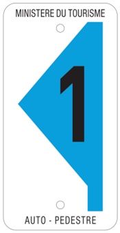
Auto-pédestre trail Dalheim

Starting point
Town hall Dalheim
Destination
Town hall Dalheim
Distance
7,87 km
Duration
2:02 h
Difficulty
easy
  • Condition
Highest point
363 Hm
Lowest point
280 Hm
Aggregated Ascent
108 Hm
Aggregated Descent
108 Hm
Circular routes Visit Luxembourg

Description

Circular walk in Dalheim 

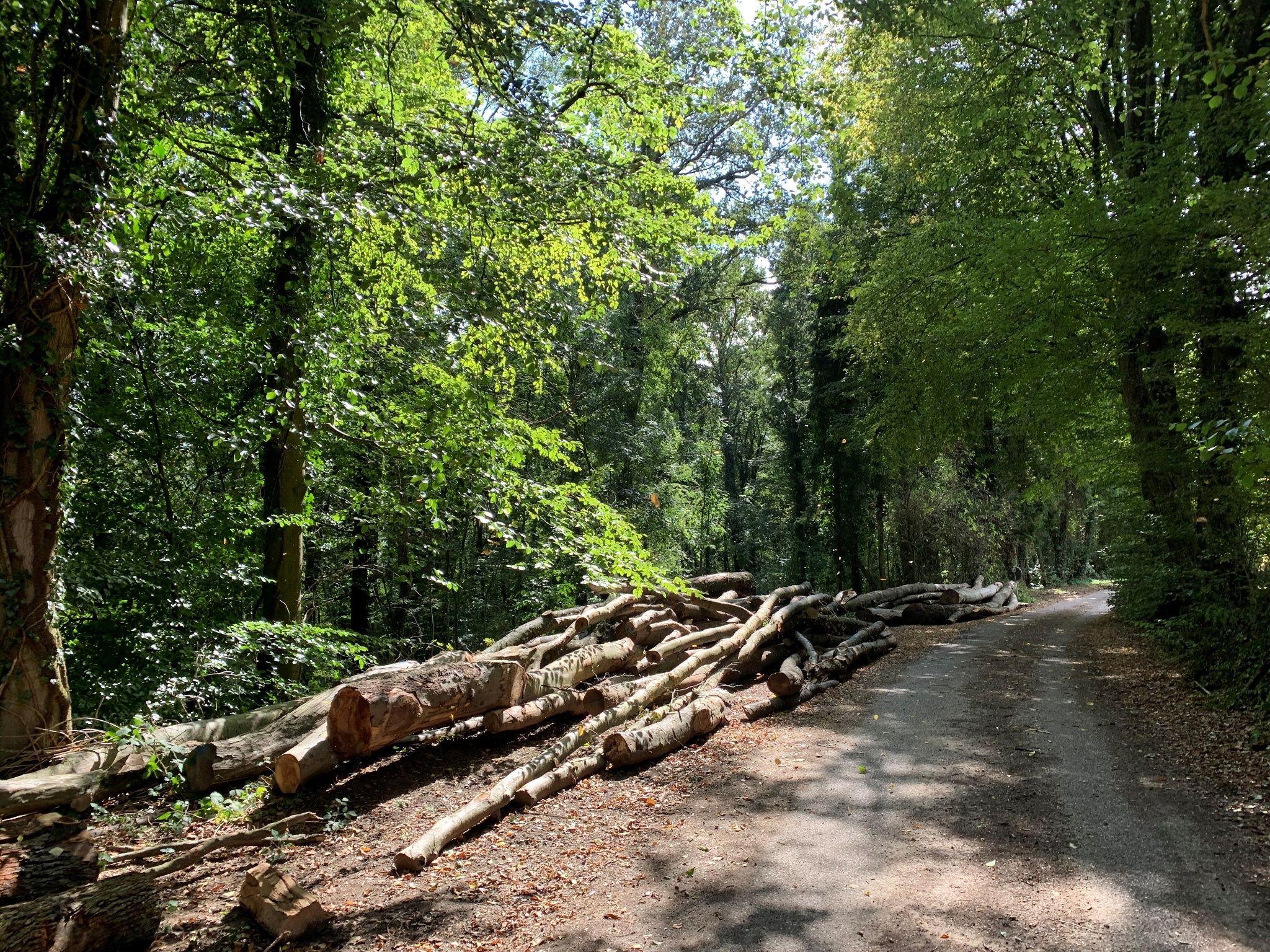
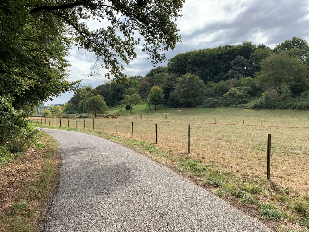
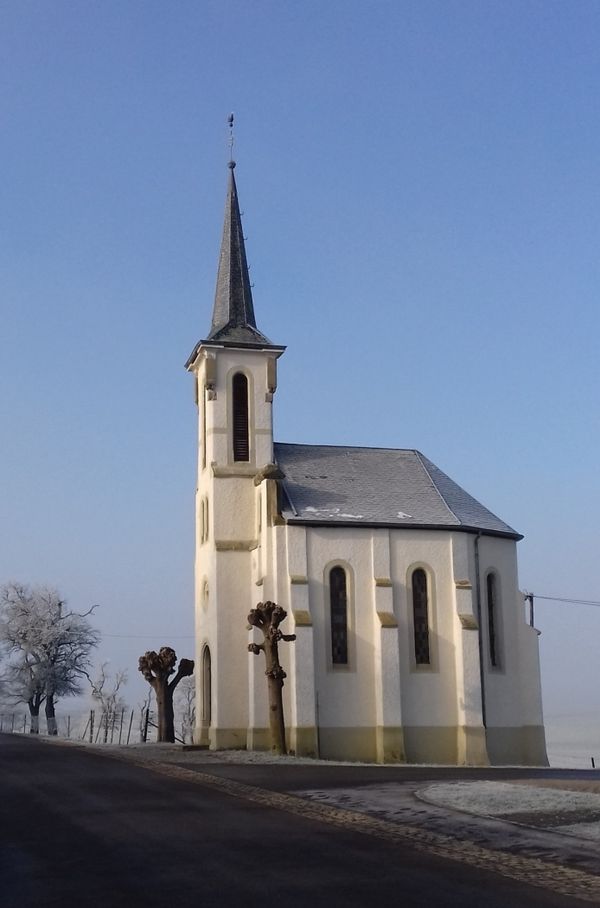
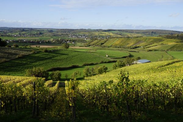
We leave the village in a northerly direction, walk along the edge of the forest and then head into the shady Buchholz forest until we reach the Filsdorf-Medingen road, an old, elevated Roman road. We follow this for one kilometre until we reach the Hadrian milestone, which indicates the route to Trier. Along the edge of the forest (Napoleon monument), we return to the starting point in Dalheim.

Please make sure to enable your Cookies in case you don't see this content.

Similar hiking tours

© Visit Luxembourg
Circular routes
Local hiking trail - E9
Distance: 6,32 km
Duration: 1:43 h
Difficulty: easy
Find out more
© ORT Sud
Thematic paths
Didactic Path "Felten's Pol säi Léierpad"
Distance: 1,80 km
Duration: 0:25 h
Difficulty: easy
Find out more
© Visit Luxembourg
Circular routes
Local hiking trail - F3
Distance: 4,34 km
Duration: 1:15 h
Difficulty: easy
Find out more
© Visit Luxembourg
Circular routes
Local hiking trail - B11
Distance: 2,85 km
Duration: 0:46 h
Difficulty: easy
Find out more
© Visit Luxembourg
Circular routes
Local hiking trail - B13
Distance: 2,78 km
Duration: 1:00 h
Difficulty: easy
Find out more
© Visit Luxembourg
Ierpeldenger Gipswee
Distance: 5,20 km
Duration: 1:24 h
Difficulty: easy
Find out more
© Visit Luxembourg
Circular routes
Local hiking trail - J5
Distance: 6,54 km
Duration: 1:44 h
Difficulty: easy
Find out more
© Visit Luxembourg
Thematic paths
Cultural walk Rosport "In the footsteps of the Tudors"
Distance: 2,35 km
Duration: 1:00 h
Difficulty: easy
Find out more
© Sophie Margue, DGT
Comfort hiking trail Remich
Distance: 3,97 km
Duration: 1:15 h
Difficulty: easy
Find out more