Luxembourg City Éislek Müllerthal Mosel Minett Guttland Germany France

Auto-pédestre trail Dalheim

Starting point
Town hall Dalheim
Destination
Town hall Dalheim
Distance
7,87 km
Duration
2:02 h
Difficulty
easy
  • Condition
Highest point
363 Hm
Lowest point
280 Hm
Circular routes Ines Kirsch

Description

Circular walk in Dalheim 

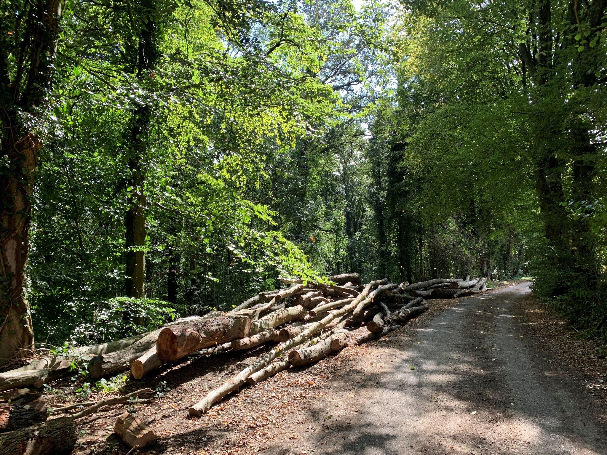
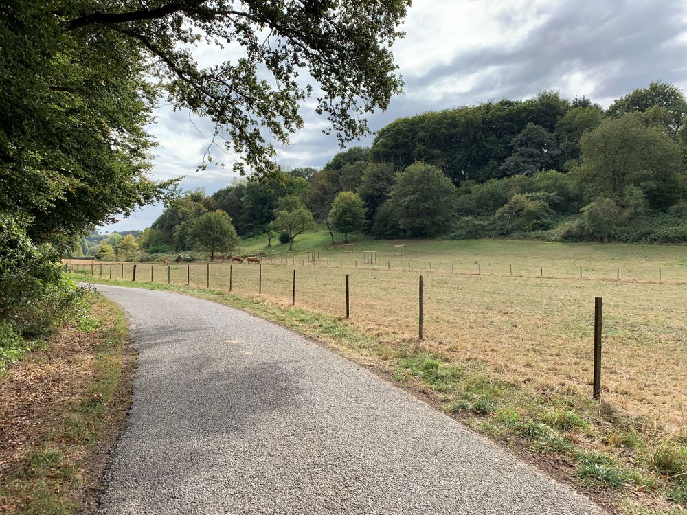
We leave the village in a northerly direction, walk along the edge of the forest and then head into the shady Buchholz forest until we reach the Filsdorf-Medingen road, an old, elevated Roman road. We follow this for one kilometre until we reach the Hadrian milestone, which indicates the route to Trier. Along the edge of the forest (Napoleon monument), we return to the starting point in Dalheim.

for tour routing
circular-walk-dalheim gpx

Similar hiking tours

Distance trails
24 Station to station Belvaux-Soleuvre - Belval-Université
Distance: 4,17 km
Duration: 1:05 h
Difficulty: easy
Find out more
Distance trails
31 Station to station Niederkorn - Bascharage-Sanem
Distance: 5,28 km
Duration: 1:20 h
Difficulty: easy
Find out more
Distance trails
33 Station to station Dippach-Reckange - Leudelange
Distance: 8,52 km
Duration: 2:15 h
Difficulty: easy
Find out more
Distance trails
40 Station to station Roodt-Syr - Betzdorf
Distance: 6,27 km
Duration: 1:36 h
Difficulty: easy
Find out more
Distance trails
42 Station to station Betzdorf - Manternach
Distance: 7,40 km
Duration: 1:55 h
Difficulty: easy
Find out more
Circular routes
Accessible to all
Audio Trail „Lauschter-Wanderwee Butschebuerg“
Distance: 1,17 km
Duration: 0:25 h
Difficulty: easy
Find out more
Circular routes
Auto-pédestre trail Ahn
Distance: 5,38 km
Duration: 1:30 h
Difficulty: easy
Find out more
Circular routes
Auto-pédestre trail Bech-Kleinmacher
Distance: 5,32 km
Duration: 1:29 h
Difficulty: easy
Find out more
Circular routes
Auto-pédestre trail Berbourg
Distance: 8,11 km
Duration: 2:09 h
Difficulty: easy
Find out more
outdooractive This website uses technology and content from the Outdooractive Platform.