Description
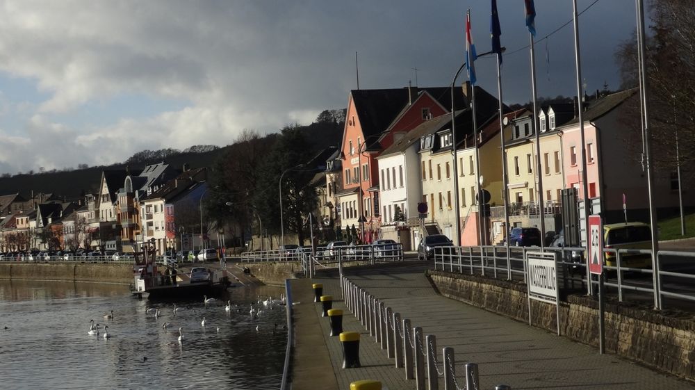
You can reach a suitable starting point of this educational trail via two short but very steep access trails from either of the two villages Mertert and Wasserbillig. The Wine-Information-Trail offers you a great opportunity to enjoy the fresh air while learning a lot about viniculture, the culture and history of the region.
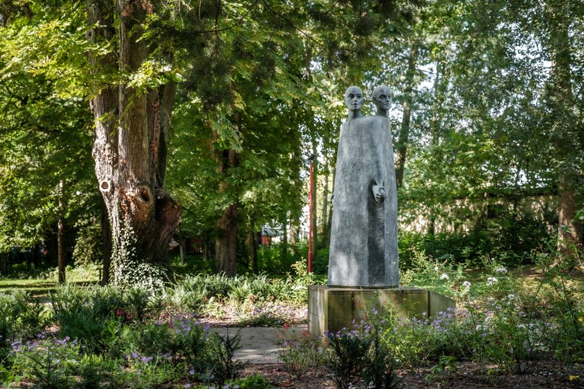
The Mosel painter J.P. Becklus is given an especially impressive presentation. At Beckius Square you can experience the art of the Mertert-born painter Jean-Pierre Beckius (1899-1964). From
Wine Square you have an incomparable view of the valley. Take a moment to rest at the Roman Pavillon and find out how wine came to the Mosel valley and how wine was made in Roman times. Just find your way using the informational signs.
Journey
Bus stop: Mertert Parc
Train station: Mertert Gare
Parking:
Parking CGDIS


 This website uses technology and content from the Outdooractive Platform.