
Thematic paths Visit Luxembourg
Description
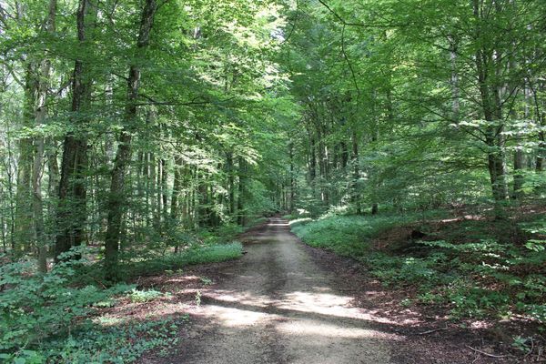
Discover this contemplative path along the stream between Lultzhausen and Eschdorf.
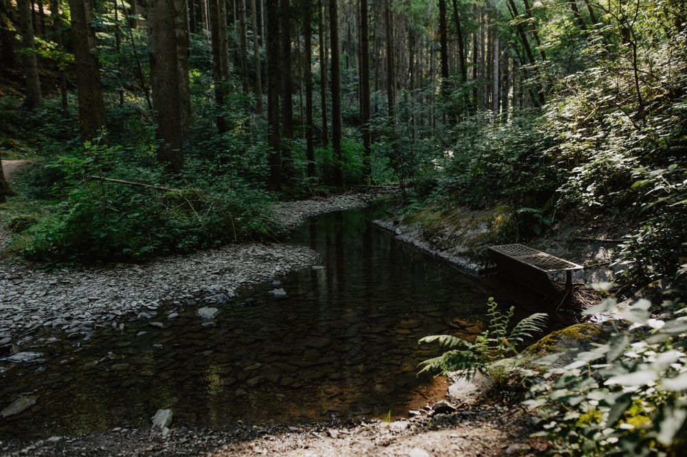
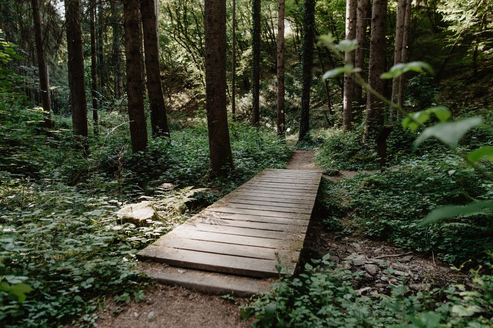
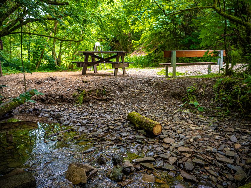
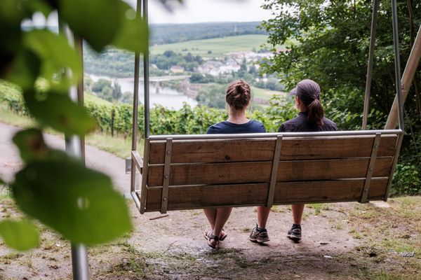
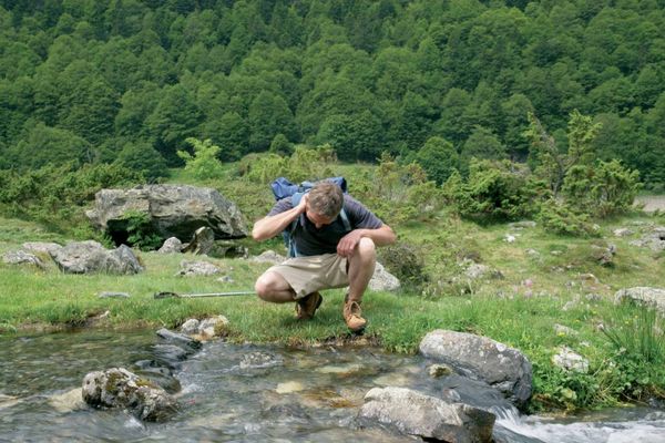
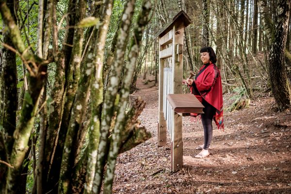
Discover this contemplative path along the stream between Lultzhausen and Eschdorf. The path aims to honor and highlight water as an element and as an essential part of a living nature. The various themed stations invite visitors to reflection and contemplation. Embark on this journey and enjoy this impressive path with all your senses.
Journey
Parking:
Parking options at the starting point on CR 314 between Lultzhausen and Eschdorf.
5.89976 E | 49.88980 N


 This website uses technology and content from the Outdooractive Platform.