Description
A short circular route near the Obersauer reservoir that recalls the fate of soldiers and villagers during the Battle of the Ardennes.
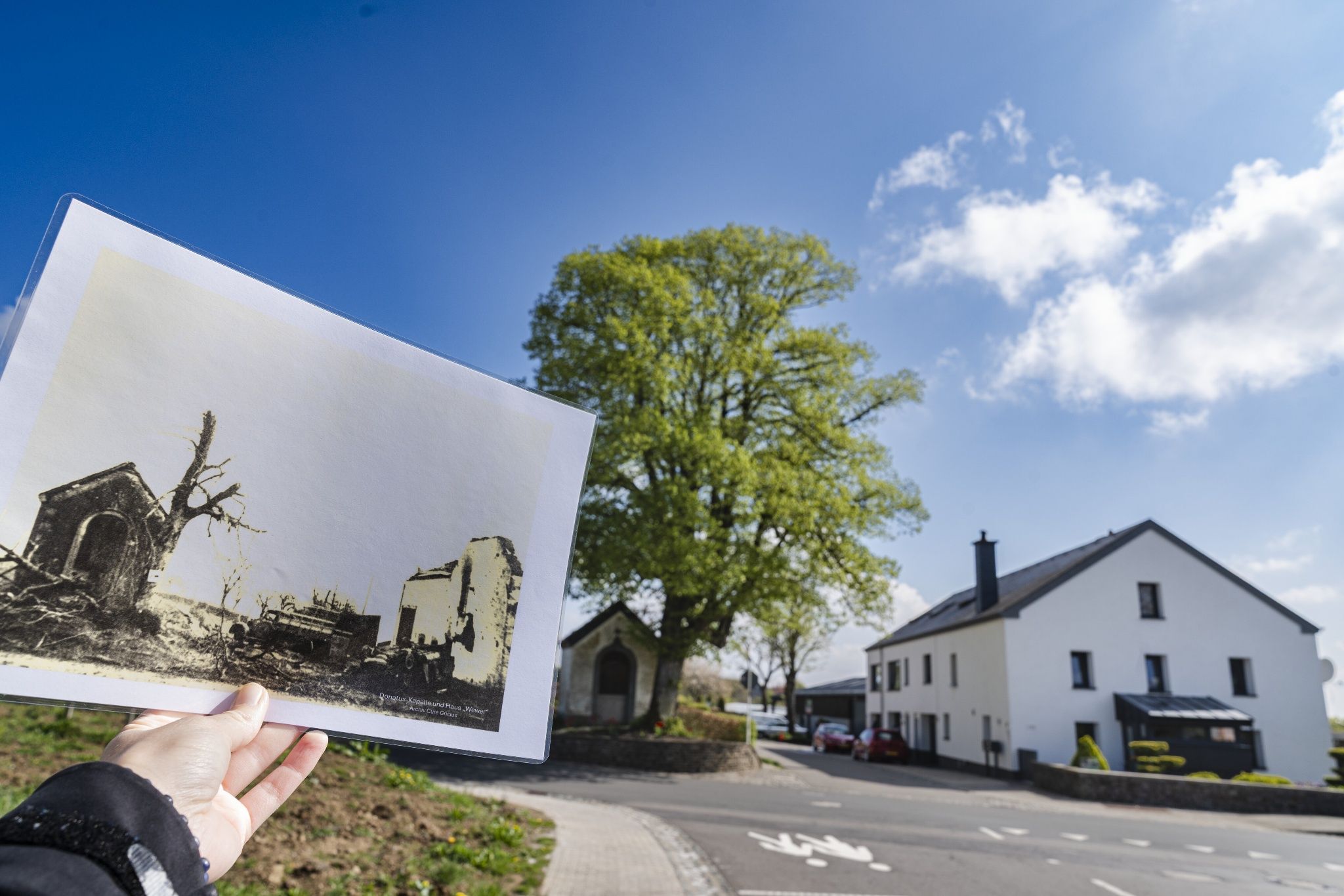
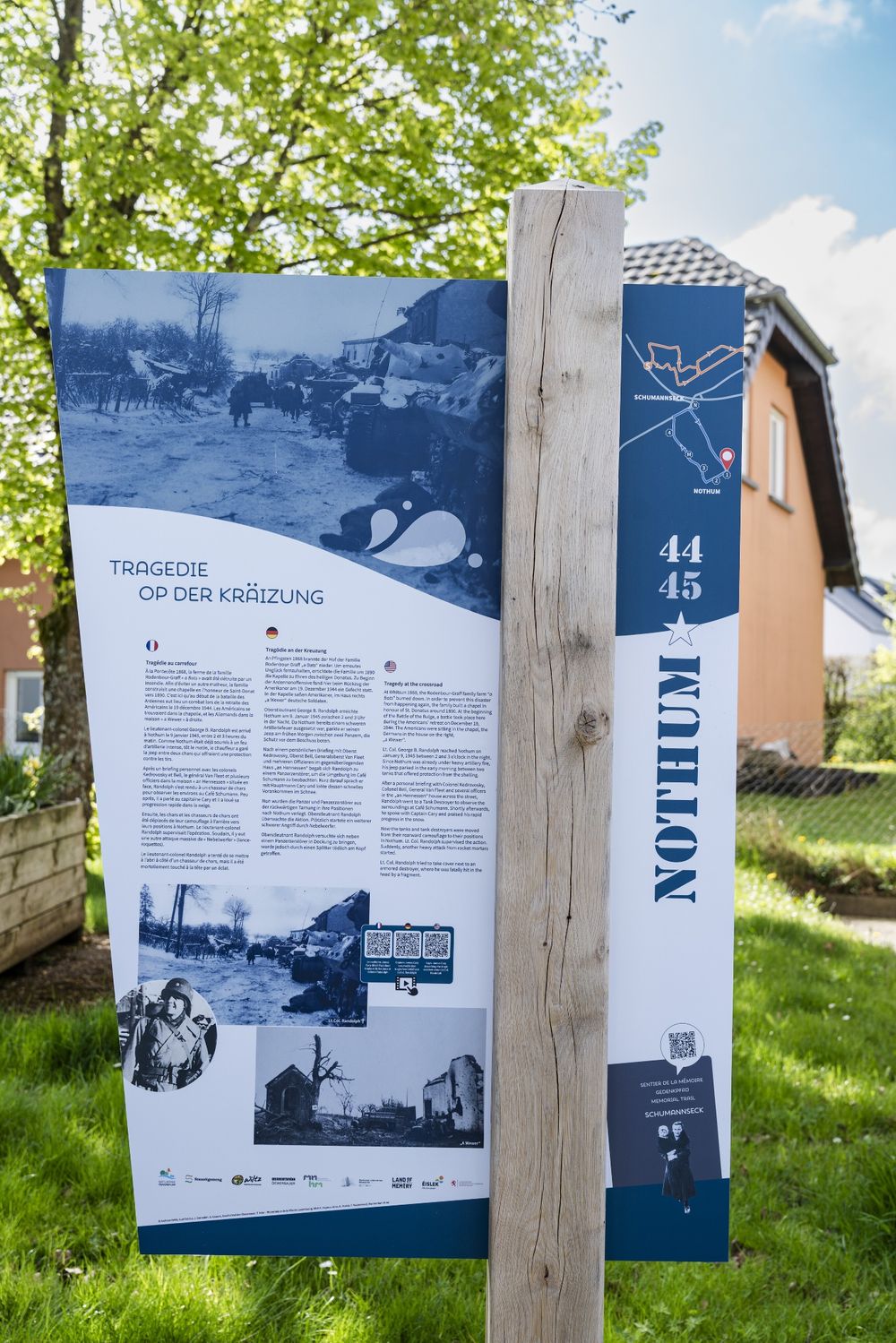
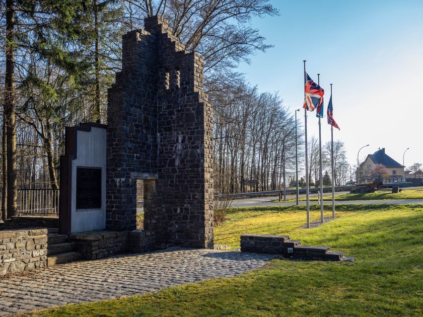
In the small village of Nothum, a grim chapter of history unfolds at the end of 1944. During the Battle of the Ardennes, the place becomes the scene of fierce fighting between December 27, 1944, and January 9, 1945. Initially, German soldiers occupy the houses of the village; later, American troops take over. Caught in the middle is the civilian population, suffering particularly under the difficult conditions.
The memorial path Nothum 44/45 is an easy-to-walk circular route of 1.6 km length, with several stations recalling the events of that time. Those who take the time to read all the information boards and follow the accompanying audio materials should plan about an hour and a half.
At each station, QR codes allow access to supplementary material – including eyewitness reports, archive photos, and historical audio or video recordings. This way, the events are not only documented but also experienced emotionally.
www.naturpark-sure.lu/fr/offer/sentier-commemoratif-nothum-44-45
Directions
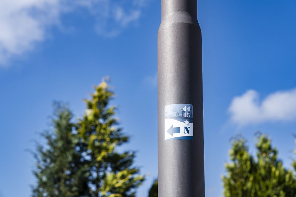
The path is marked.
For your safety
Weather conditions such as wetness, ice, and wind can make a route more difficult. The information refers to optimal conditions.
Equipment
Sturdy footwear and something to drink.
Journey
Use the free public transport and travel climate-friendly by bus and train.
Nearest bus stop: "Nothum Schumann"
Parking:
There is a parking lot directly at the starting point.


 This website uses technology and content from the Outdooractive Platform.