Circular routes Visit Luxembourg
Description
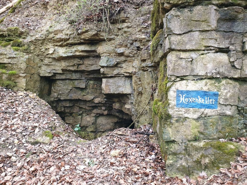
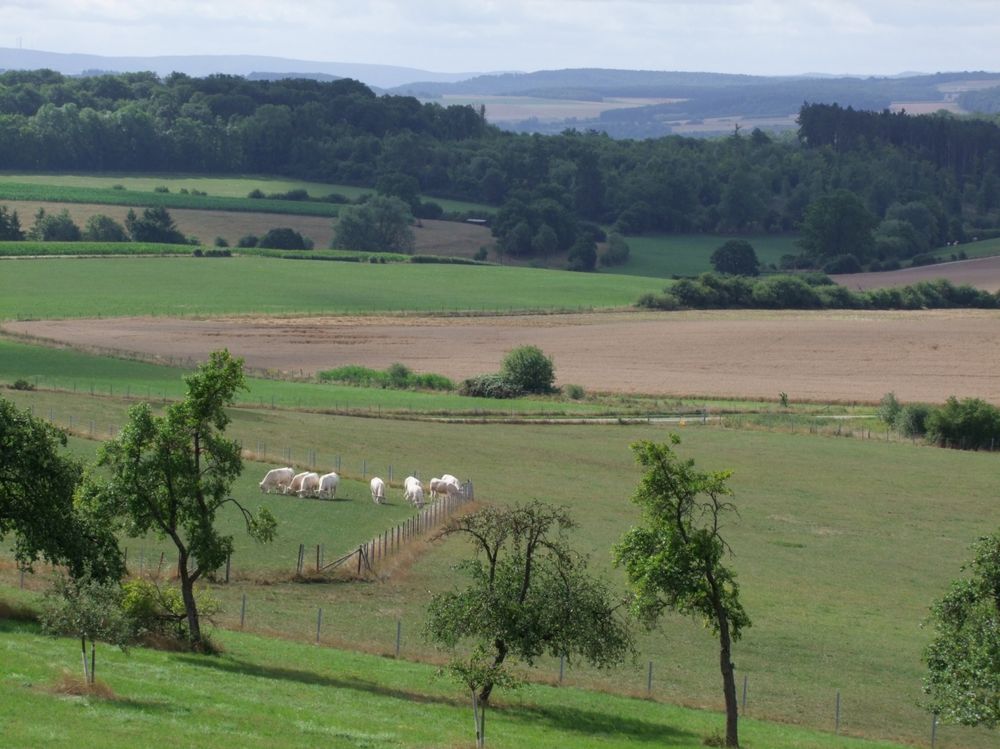
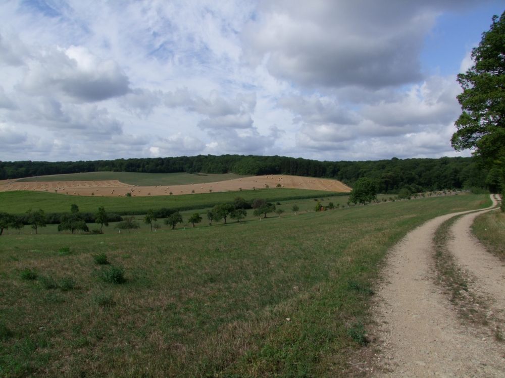
Hike along beautiful views, through the forest, and go in search of the "Hexenkeller".
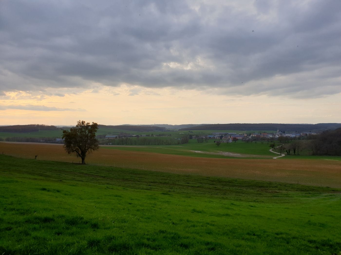
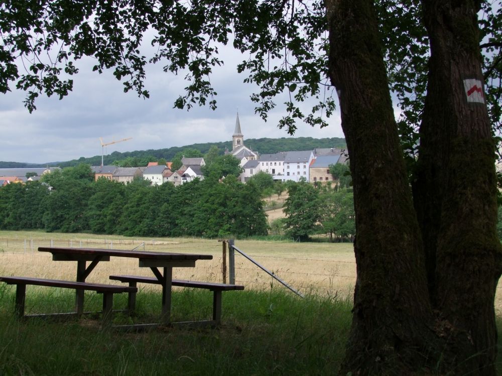
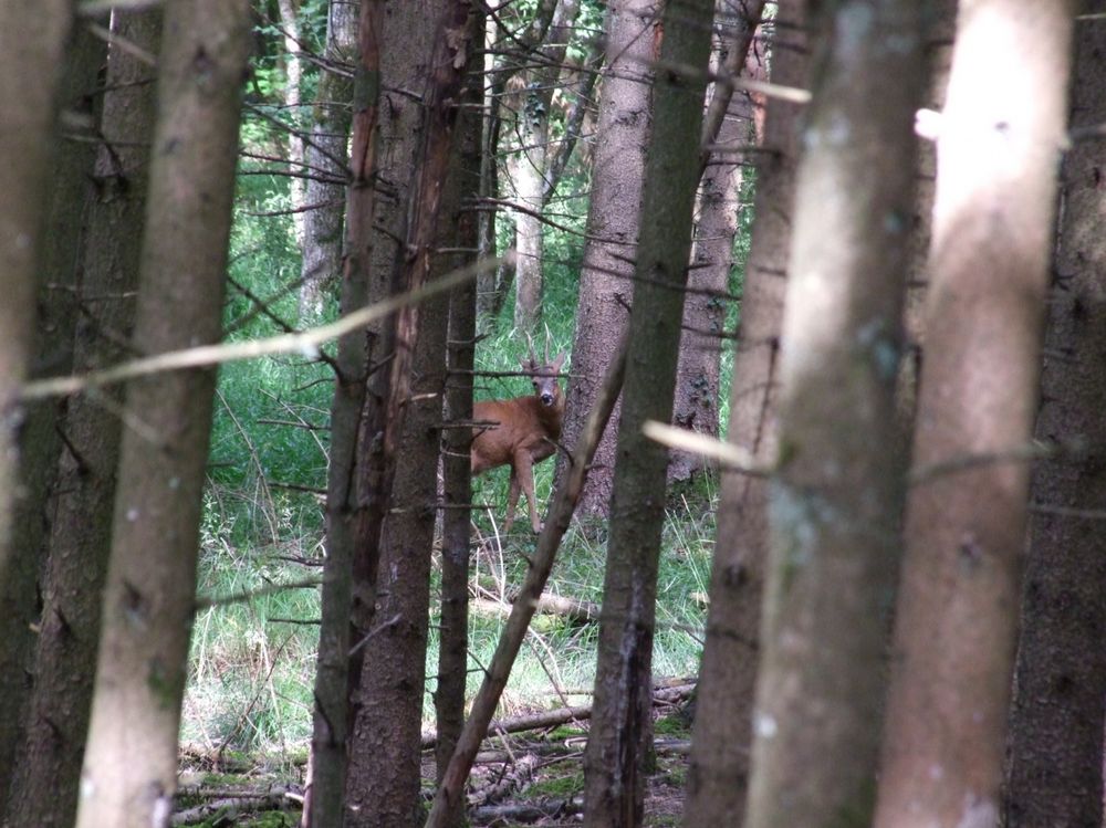
The starting point of the hiking trail is located in the village center of the small town of Mompach. After a short distance, you reach a forest inhabited by many bird species. At the highest point, the trail offers a beautiful view far into Germany (Hunsrück) and Luxembourg (Widdebierg). After walking on part of a former Roman road, which led from Trier (D) to Altrier (L), the path runs past rocks in a small forest where there is a small cave, the so-called "Hexenkeller".
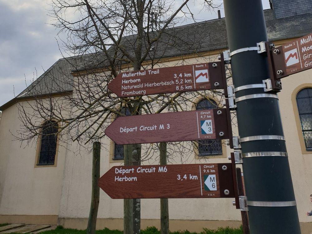
Signposting

Equipment
Sturdy footwear and something to drink.
Journey
Public transport:
Nearest bus stop: Mompach, Um Buer (50m)


 This website uses technology and content from the Outdooractive Platform.