© Visit Éislek, Visit Éislek
Éislek Germany France

Local hiking trail BS 6 - Bourscheid

Starting point
Bourscheid
Destination
Bourscheid
Distance
14,53 km
Duration
4:45 h
Difficulty
medium
  • Condition
Highest point
479 Hm
Lowest point
217 Hm
Aggregated Ascent
600 Hm
Aggregated Descent
600 Hm
Circular routes Visit Luxembourg

Description

Scenic Refreshment stops available
From the leisurely afternoon round to the challenging hiking tour, everything is included in the Local Hiking Trails.

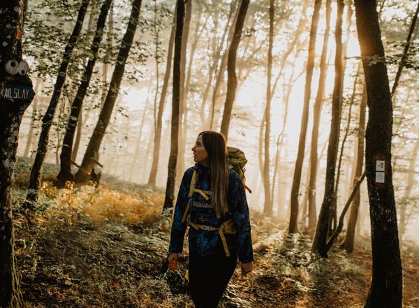
The local hiking trails are marked with the abbreviations of the municipality where they start. The larger the number that the marker symbol contains, the longer the circular hiking trail. See for yourself the variety of local hiking trails and the different features in the Éislek region.

Please make sure to enable your Cookies in case you don't see this content.

Suggestions nearby

Local hiking trail BS 6 - Bourscheid

  • © Studio Frank Weber
    free
    with theLuxembourgPass
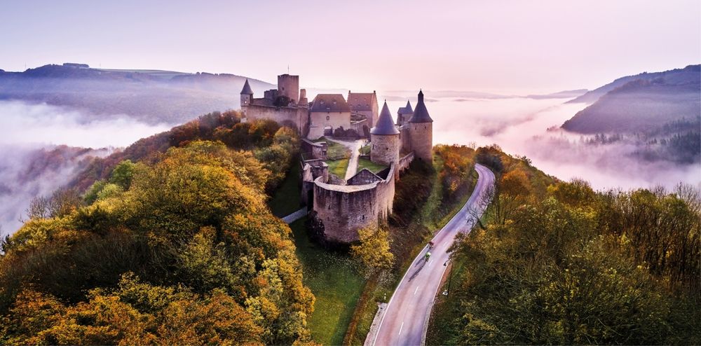
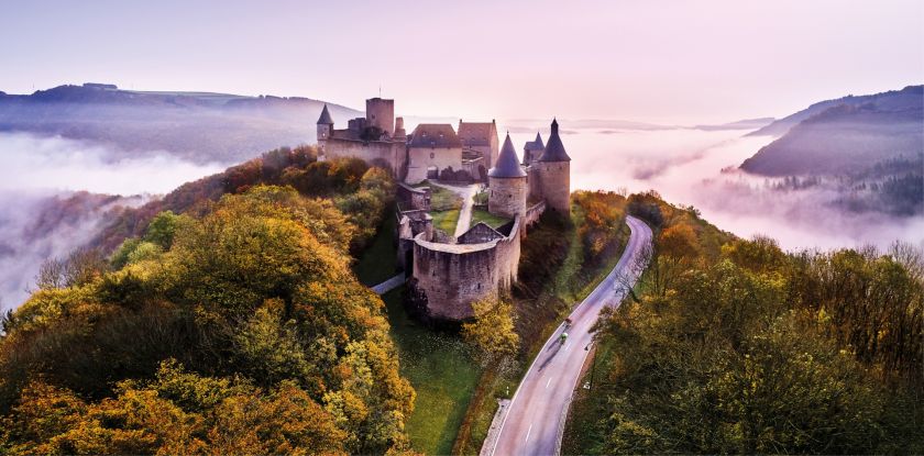
    Bourscheid Castle
    Explore the fascinating Bourscheid Castle, where history meets breathtaking natural scenery. The imposing castle towers majestically over the Sûre valley and invites you to travel back in time to a bygone era. An unforgettable excursion the rich history of Éislek.
    Find out more
  • © Camping du Moulin
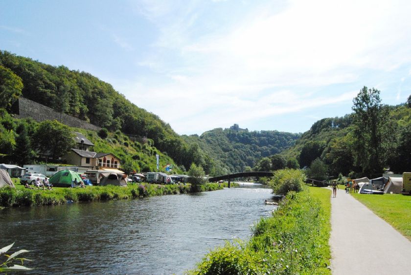
    Camping du Moulin Bourscheid Moulin
    Pets allowedWifiRestaurant
  • © Visit Éislek
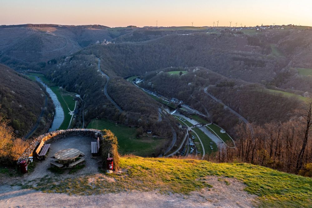
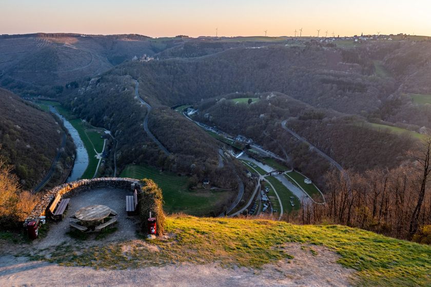
    Viewpoint Gringlee
    The ‘Gringlee’ viewpoint, also known as ‘Gringlay’, offers an impressive panorama over the Sûre Valley and the majestic Bourscheid Castle. It is one of the most famous viewpoints in Luxembourg.
    Find out more

Similar hiking tours

© Visit Luxembourg
Circular routes
Local hiking trail - L2
Distance: 8,54 km
Duration: 2:30 h
Difficulty: medium
Find out more
© Visit Luxembourg
Circular routes
Local hiking trail - E8
Distance: 6,26 km
Duration: 1:40 h
Difficulty: medium
Find out more
© ORT MPSL , Visit Luxembourg
Circular routes
Local hiking trail - B1
Distance: 10,58 km
Duration: 3:05 h
Difficulty: medium
Find out more
© Pulsa Pictures, ORT SUD
Circular routes
Discovery trail "Prënzebierg - Giele Botter"
Distance: 7,65 km
Duration: 2:15 h
Difficulty: medium
Find out more
© Visit Luxembourg
Circular routes
Local hiking trail - W1
Distance: 6,81 km
Duration: 1:47 h
Difficulty: medium
Find out more
© ORT Sud
Circular routes
Auto-pédestre trail Lamadelaine
Distance: 8,36 km
Duration: 2:25 h
Difficulty: medium
Find out more
© Pulsa Pictures, Pulsa Pictures_ORT SUD
Minett Trail
Minett Trail: Rumelange Gare - Dudelange Gare
Distance: 10,77 km
Duration: 3:00 h
Difficulty: medium
Find out more
© Pulsa Pictures, ORT SUD
Minett Trail
Minett Trail: Bergem/Beim Nëssert - Gare Bettembourg
Distance: 11,69 km
Duration: 3:05 h
Difficulty: medium
Find out more
© L. Schömer, Visit Luxembourg
Circular routes
Auto-pédestre trail Bollendorf-Pont
Distance: 8,36 km
Duration: 2:32 h
Difficulty: medium
Find out more