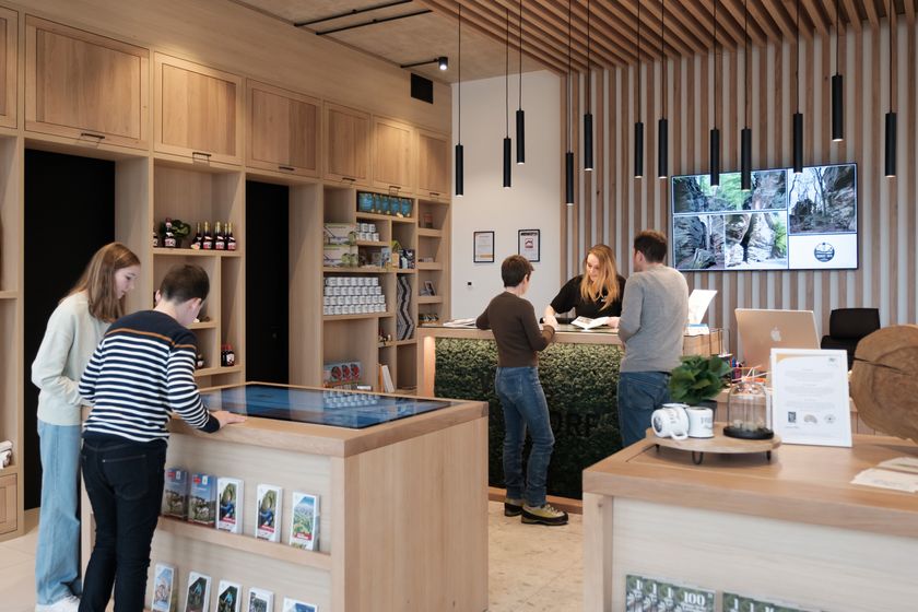
© Visit Luxembourg
Müllerthal Germany France

Local route - B5

Hunting Season 2025/26 — Check for hunts

Autumn is here, and that means hunting season has begun! From mid-October to January/February, hunters are active across the country. Stay safe by checking hunt dates in your area on our Map. 

Click on Map in the Header > Services > More > Hunting.

Starting point

Berdorf: Tourist Info

Destination

Berdorf: Tourist Info

Distance
5,95 km
Duration
1:40 h
Difficulty
easy
  • Condition
Highest point
374 Hm
Lowest point
295 Hm
Aggregated Ascent
80 Hm
Aggregated Descent
80 Hm
Circular routes Visit Luxembourg

Description

Scenic

The rock world of Berdorf is like a large adventure playground: here you can discover narrow rock crevices, naturally formed labyrinths, bizarre rock formations, and much more.

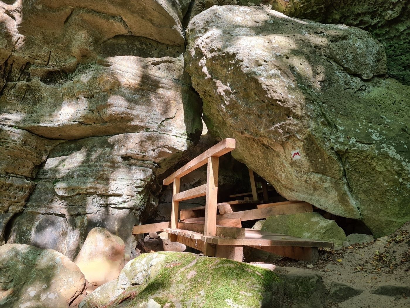
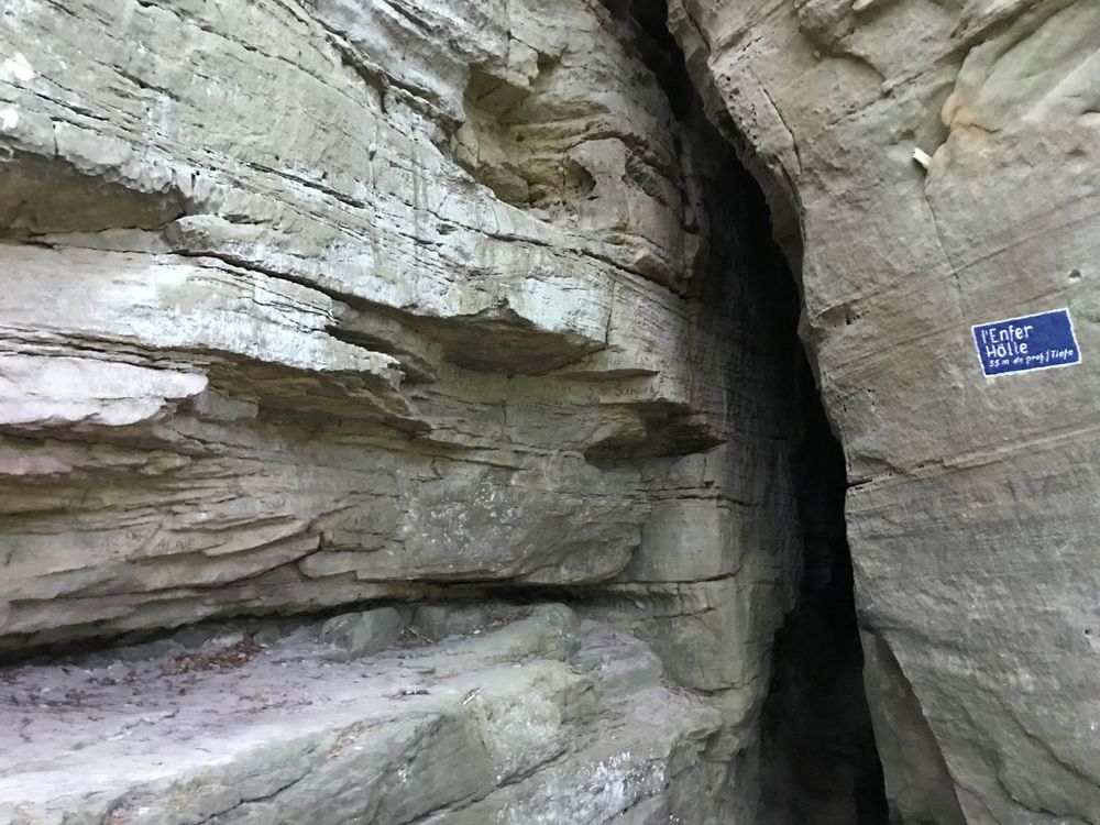
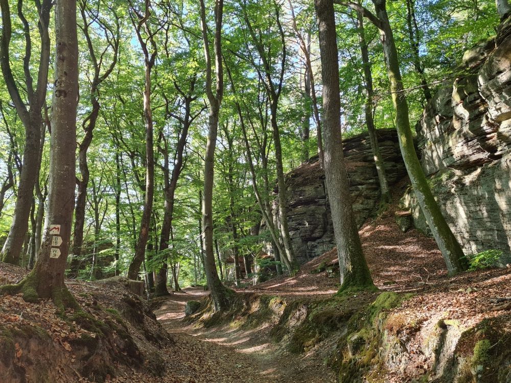
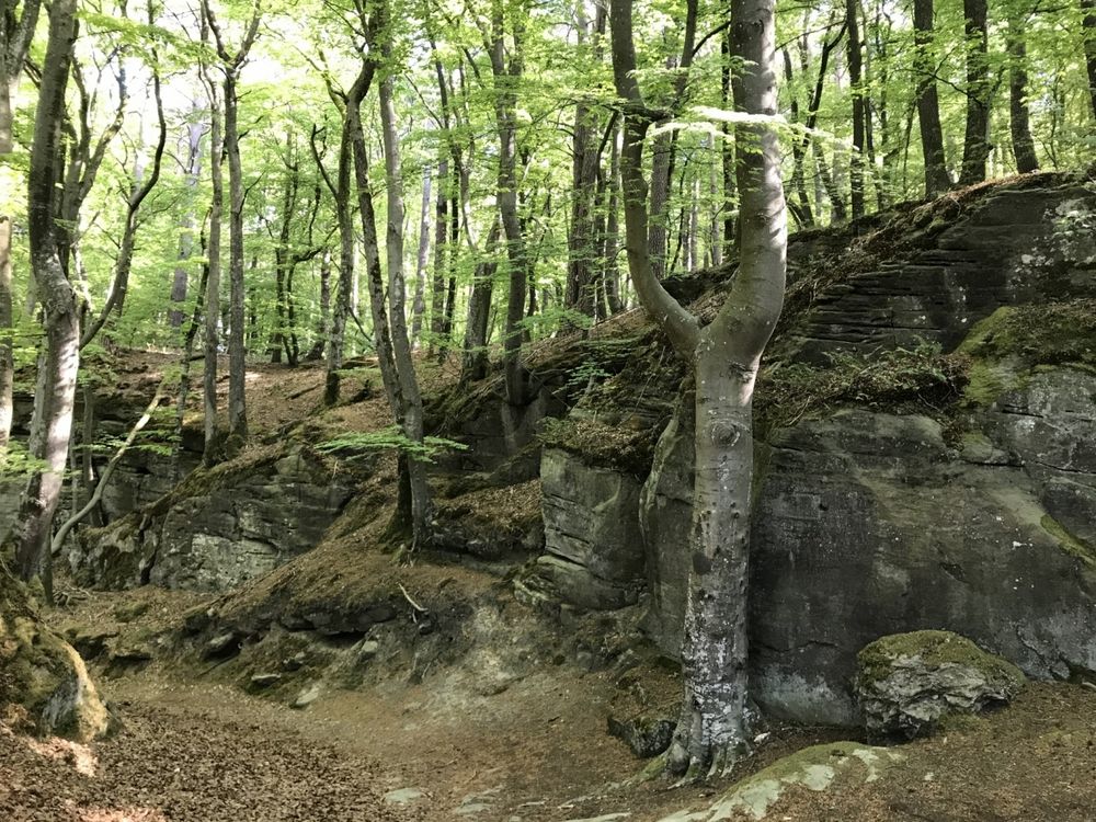
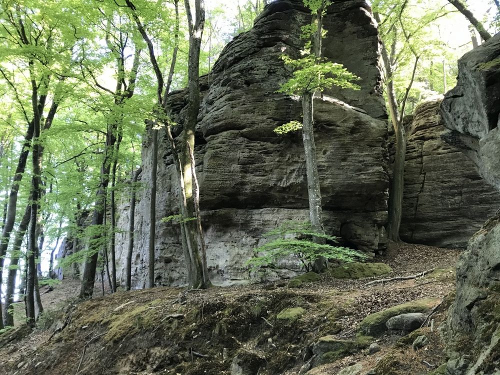
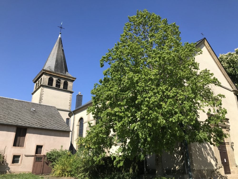
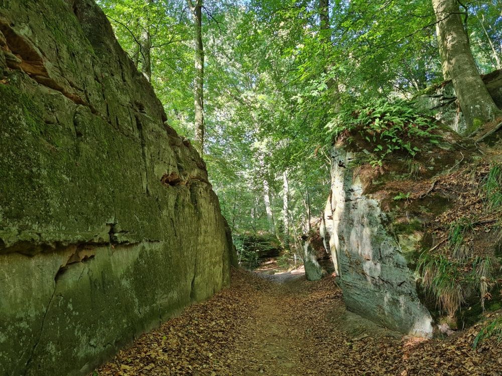
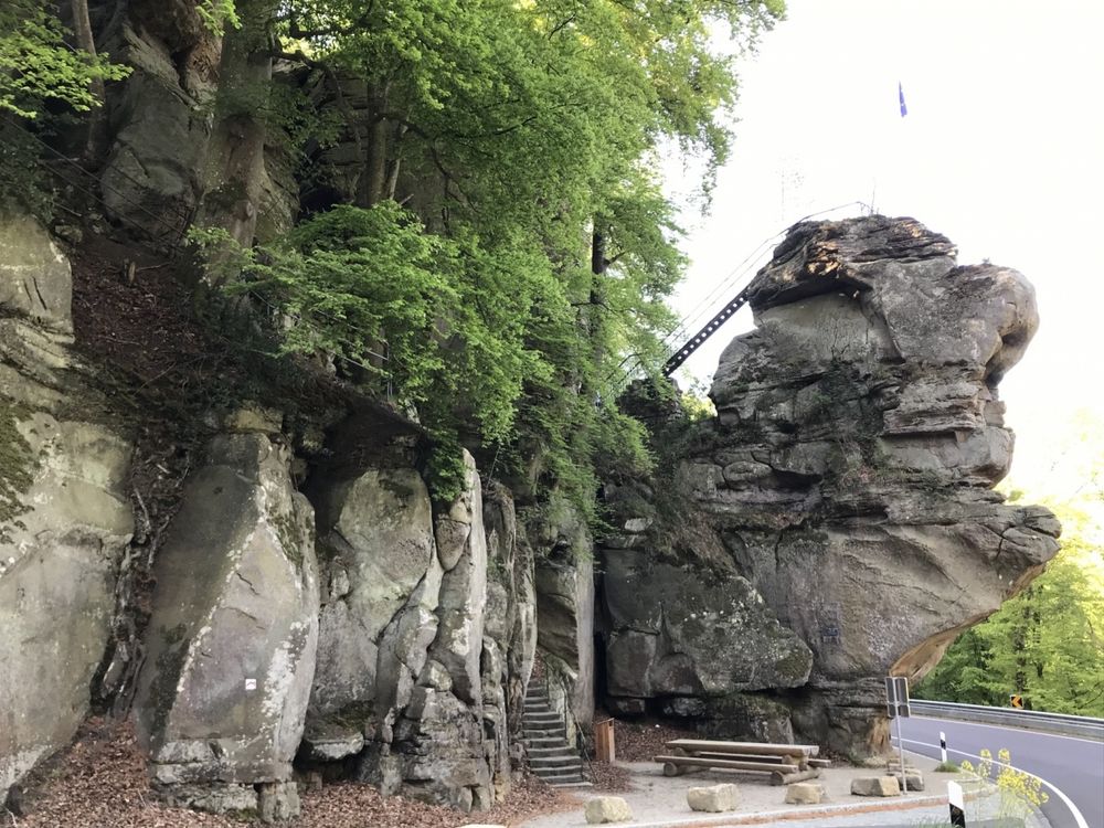
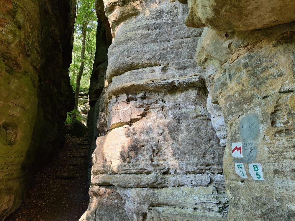
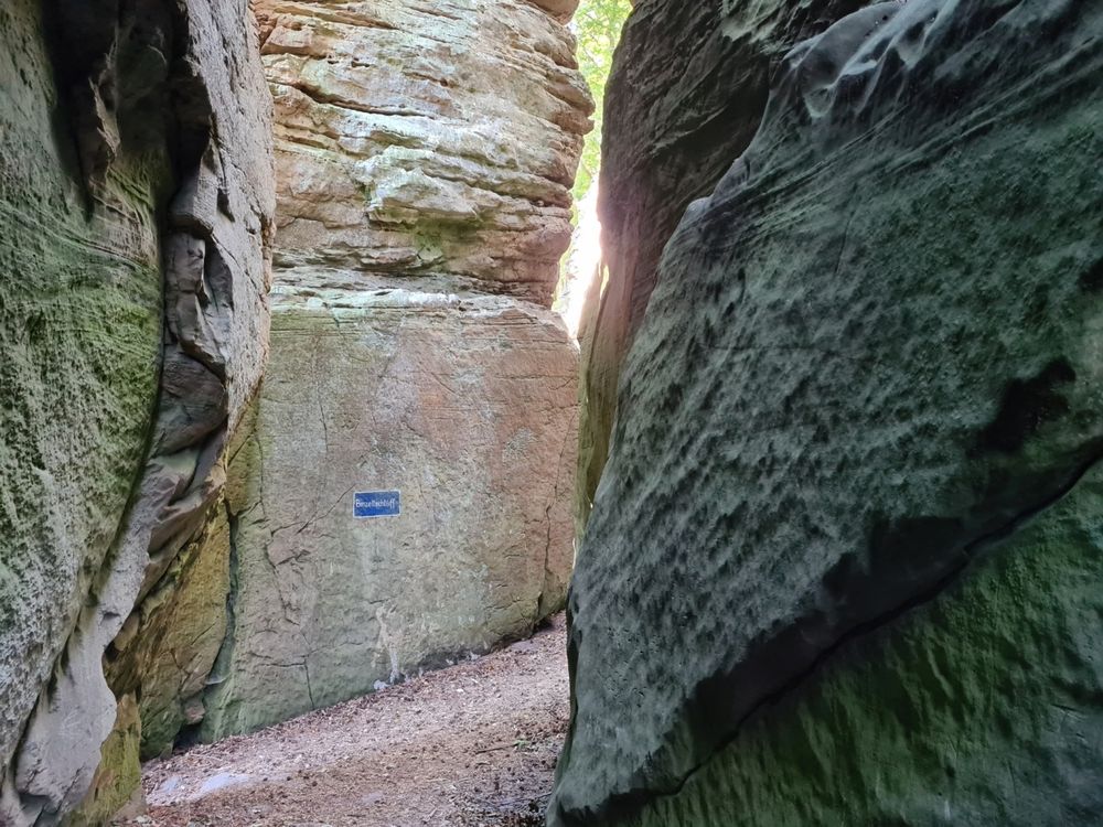
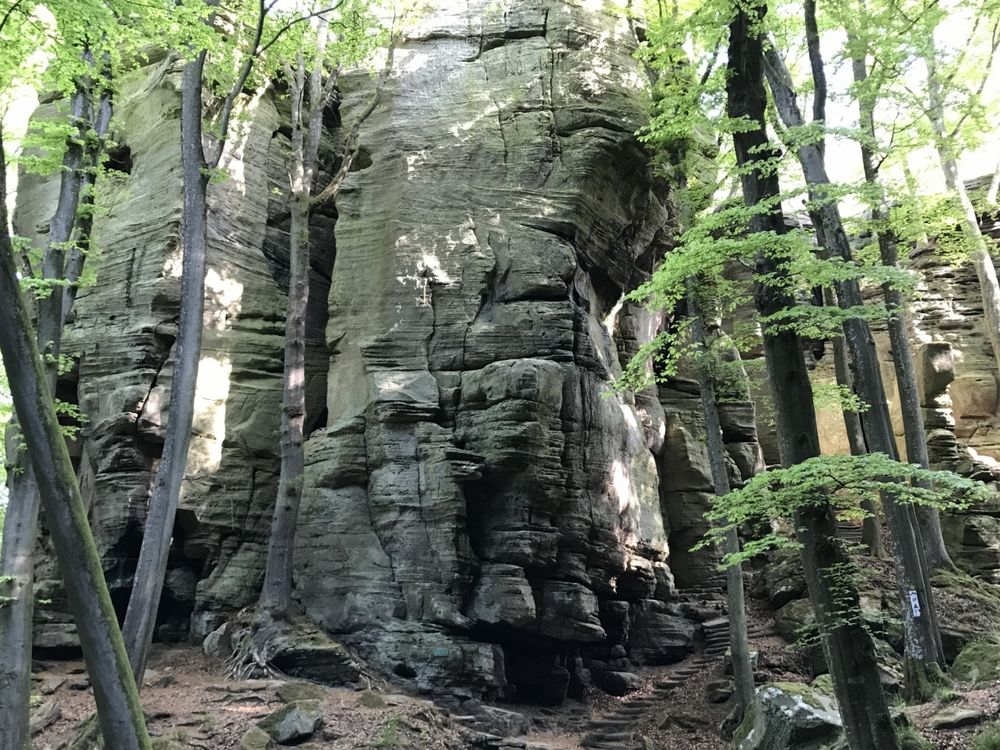
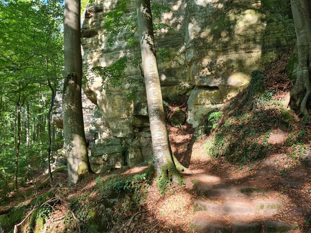
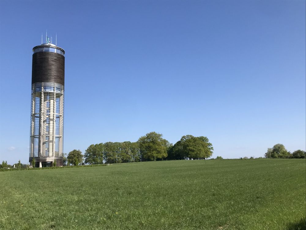
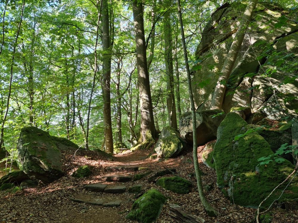
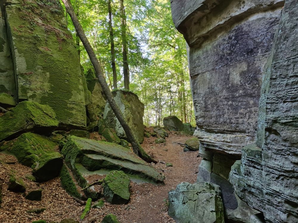
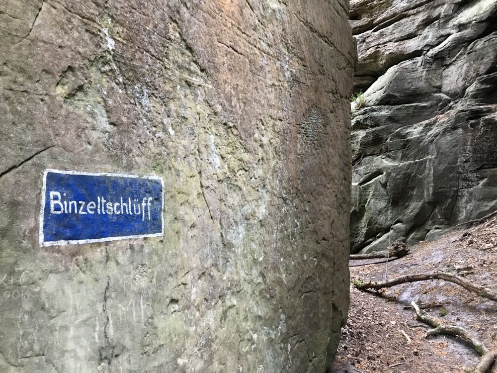
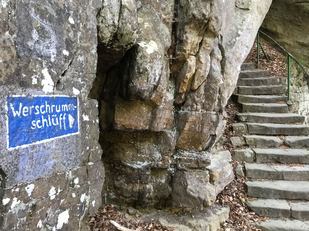
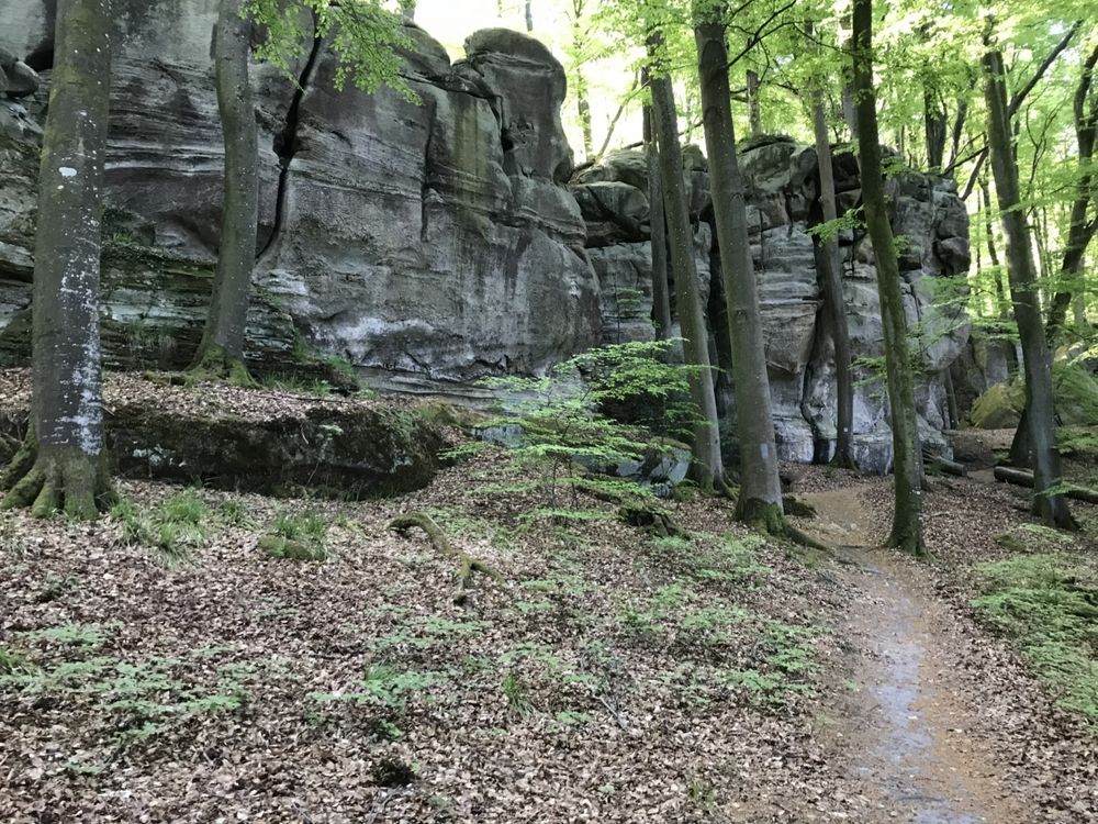
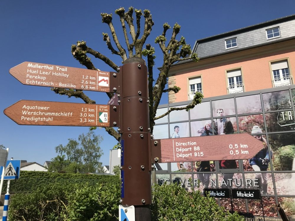
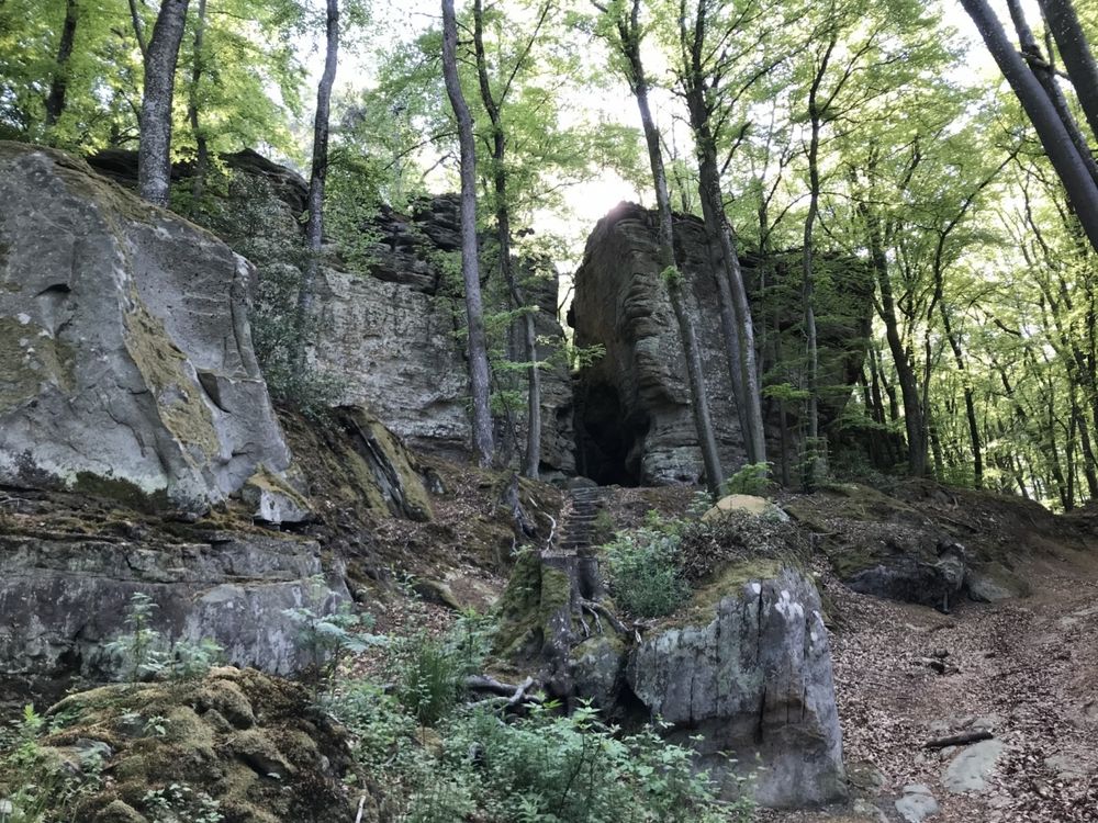
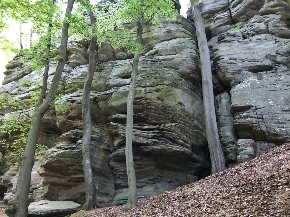
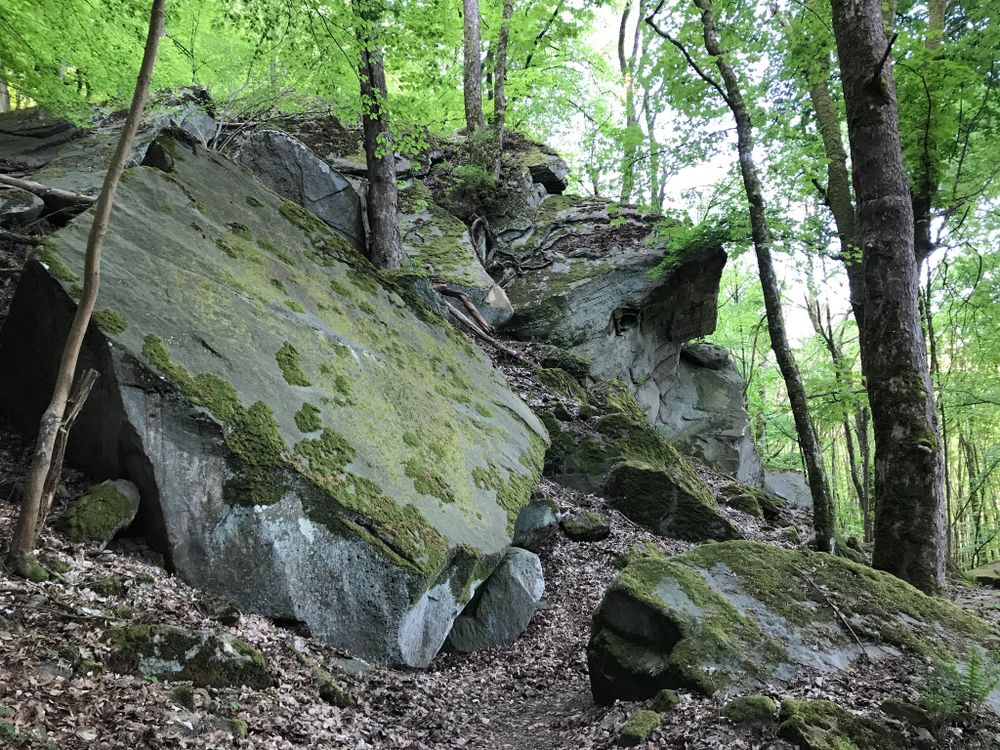
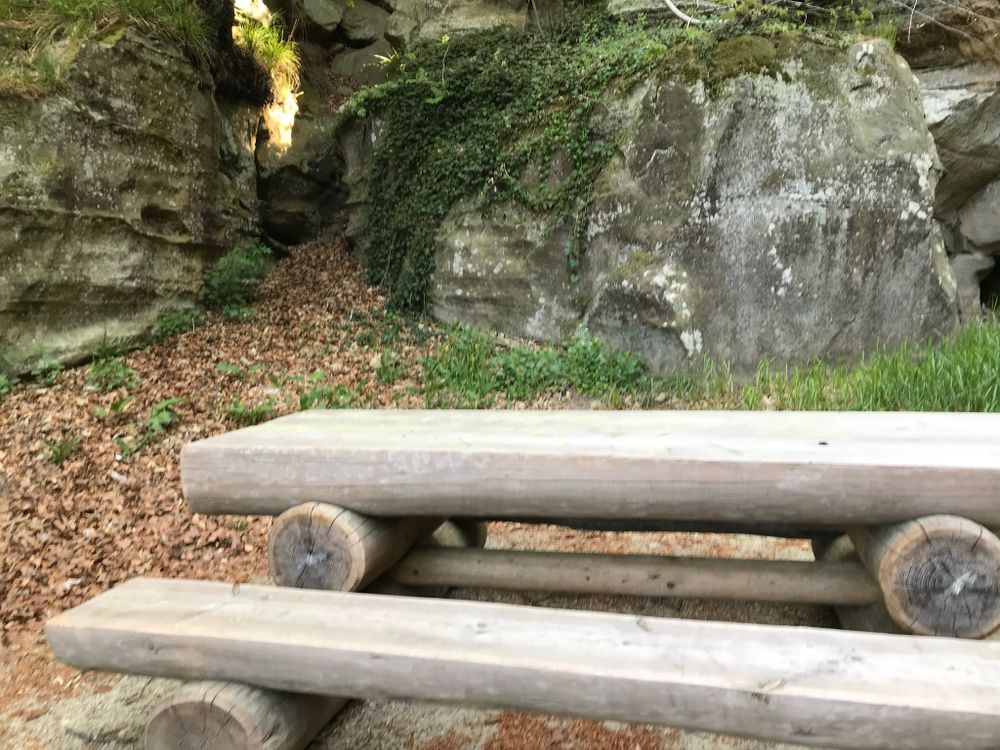
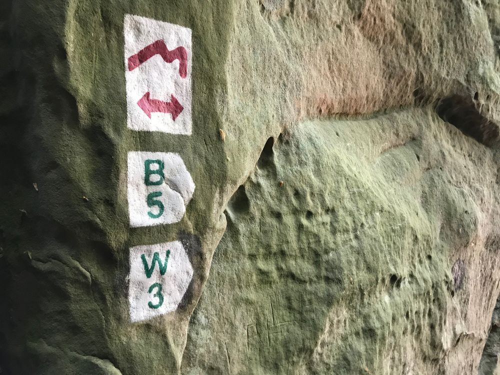
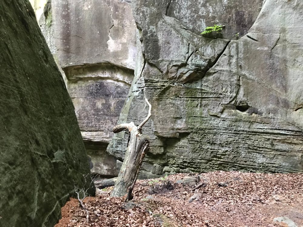
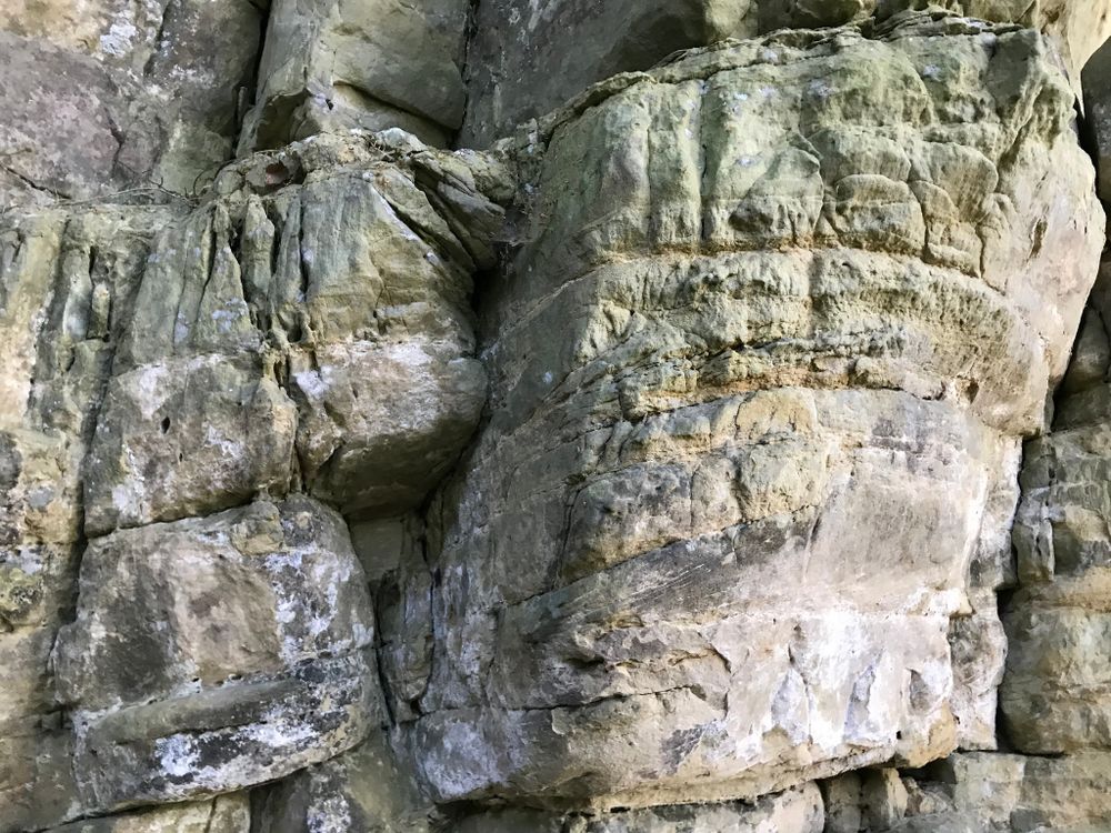
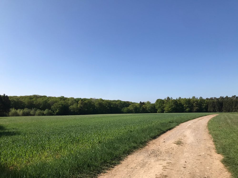
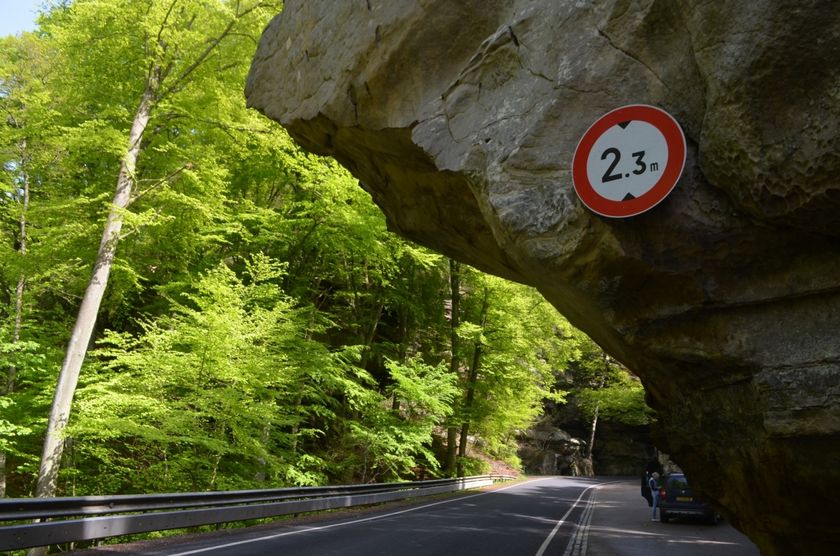
The local circular route B5 starts at the Martbusch leisure center, in front of the Tourist Information. This varied route first leads through the village of Berdorf, along the church and finally to the 55 m high Aquatower, which offers a beautiful panoramic view of the surroundings from the inside. Then the hiking trail leads into the forest. A beautiful descent between bizarre rock formations leads along the Berdorf plateau to the Werschrummschlëff, a labyrinth-like rock crevice complex where you can cool down well in hot weather. Right next to the Werschrummschlëff you can climb the Priedegtstull. After crossing the street, you go up the rock crevice Binzeltschlëff to return along the plateau and many other rock formations and caves such as the "Hell" back to the Martbusch leisure center.
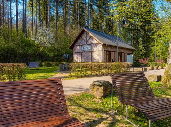
Suggestions nearby

Local route - B5

  • © Sophie Margue
    free
    with theLuxembourgPass
    Aquatower Berdorf
    Dive into the fascinating world of drinking water in the Mullerthal Region.
    Find out more
  • Rock formation "Priedegtstull"
    The impressive rock overhangs the road and offers an impressive view.
    Find out more
  • © Pancake! Photographie
    Tourist Info Berdorf
    Tourist Info Berdorf
    Find out more

Similar hiking tours

© Ville de Dudelange, Ville de Dudelange
Circular routes
Barefoot trail Dudelange - "Buerfousswee"
Distance: 0,64 km
Duration: 0:10 h
Difficulty: easy
Find out more
© Pancake!
Circular routes
Natura 2000 trail - Boucle A: « L’homme et la forêt » – 5 km
Distance: 5,51 km
Duration: 1:30 h
Difficulty: easy
Find out more
© ORT SUD
Circular routes
Esch: Sentier Norbert Theis Trail – 7km
Distance: 7,98 km
Duration: 2:15 h
Difficulty: easy
Find out more
© Pulsa Pictures, ORT SUD
Circular routes
Esch: Burgronn - 3 km
Distance: 2,97 km
Duration: 0:45 h
Difficulty: easy
Find out more
© Visit Luxembourg
Circular routes
Auto-Pédestre trail Tadler
Distance: 4,57 km
Duration: 1:30 h
Difficulty: easy
Find out more
© Visit Luxembourg
Thematic paths
Nature Trail Cactusbësch
Distance: 6,09 km
Duration: 1:50 h
Difficulty: easy
Find out more
© Visit Luxembourg
Thematic paths
Circular Walk "Forest Adventure - Mam Robi duerch de Bësch"
Distance: 2,82 km
Duration: 0:45 h
Difficulty: easy
Find out more
© Visit Luxembourg
Thematic paths
Honeybee educational trail between Waldbillig and Christnach
Distance: 4,00 km
Duration: 1:30 h
Difficulty: easy
Find out more
© Jeniska Photography, Visit Luxembourg
Guttland.Trails
Guttland.Trail Fautelfiels
Distance: 5,40 km
Duration: 1:45 h
Difficulty: easy
Find out more
outdooractive This website uses technology and content from the Outdooractive Platform.