Description
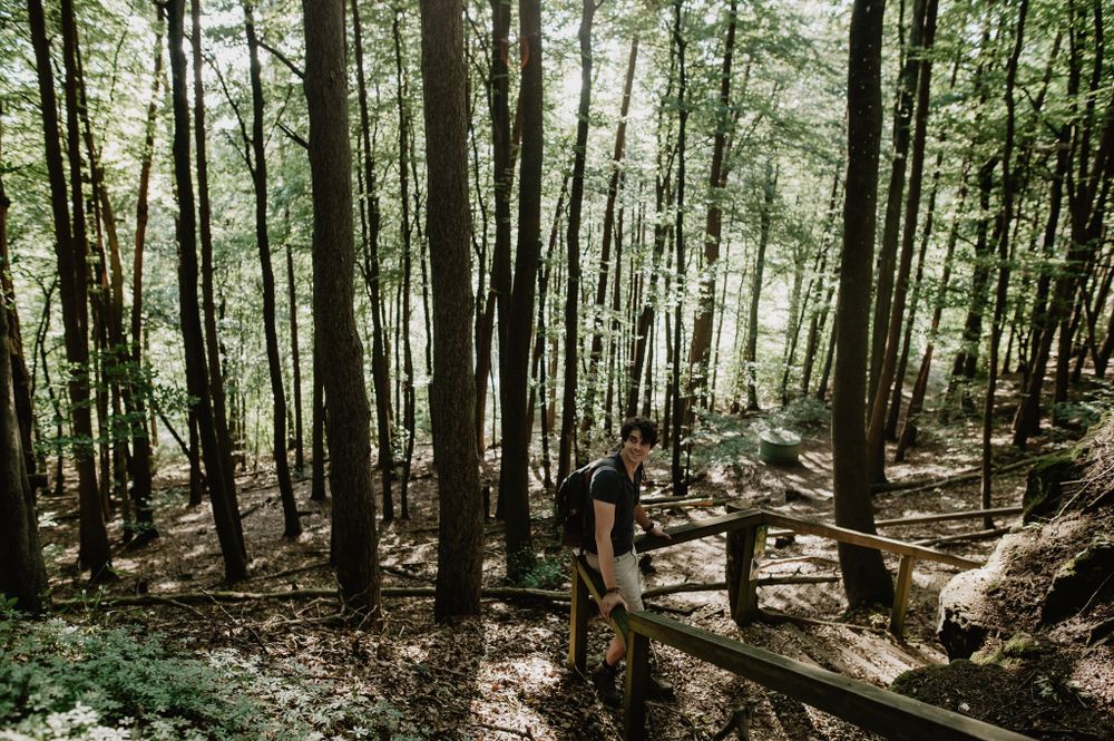
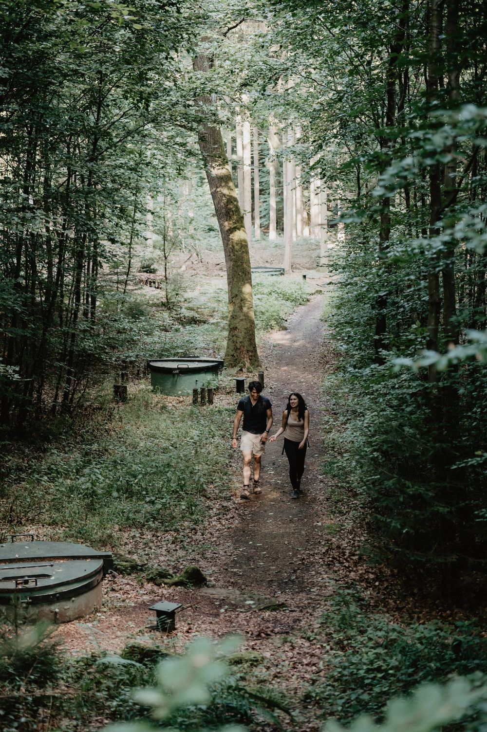
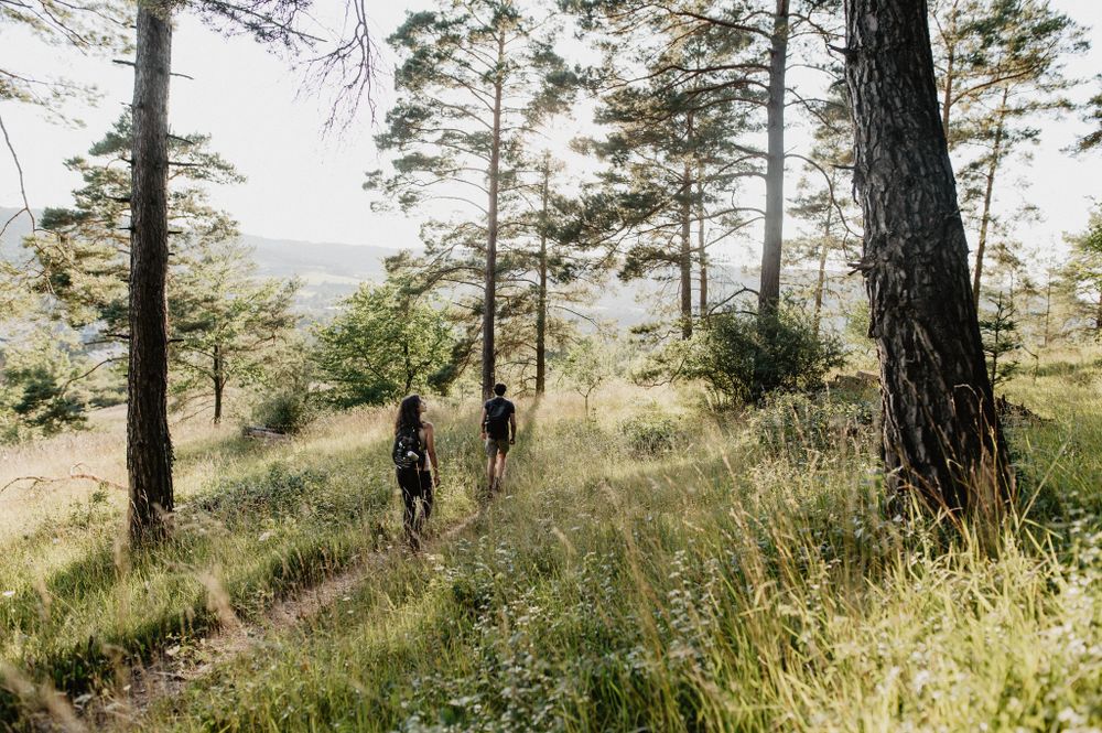
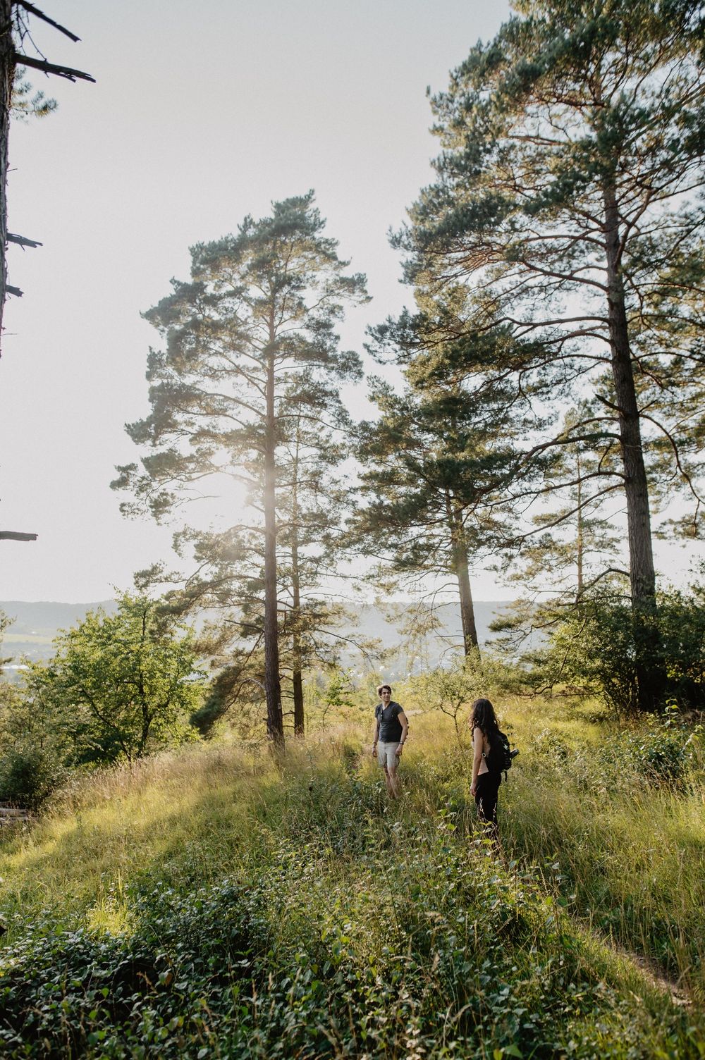
History in the heart of nature.
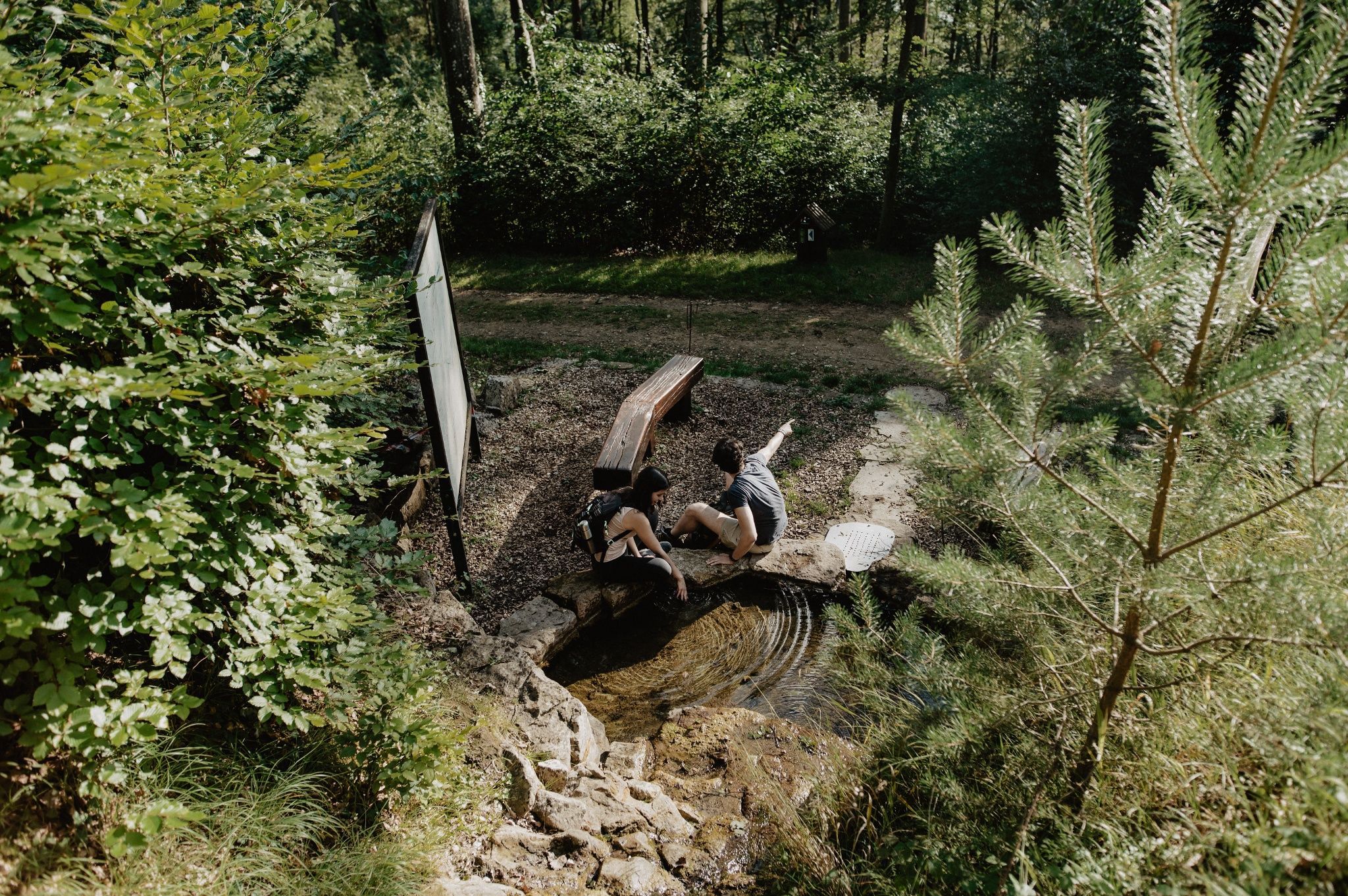
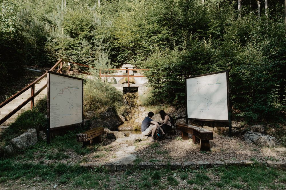
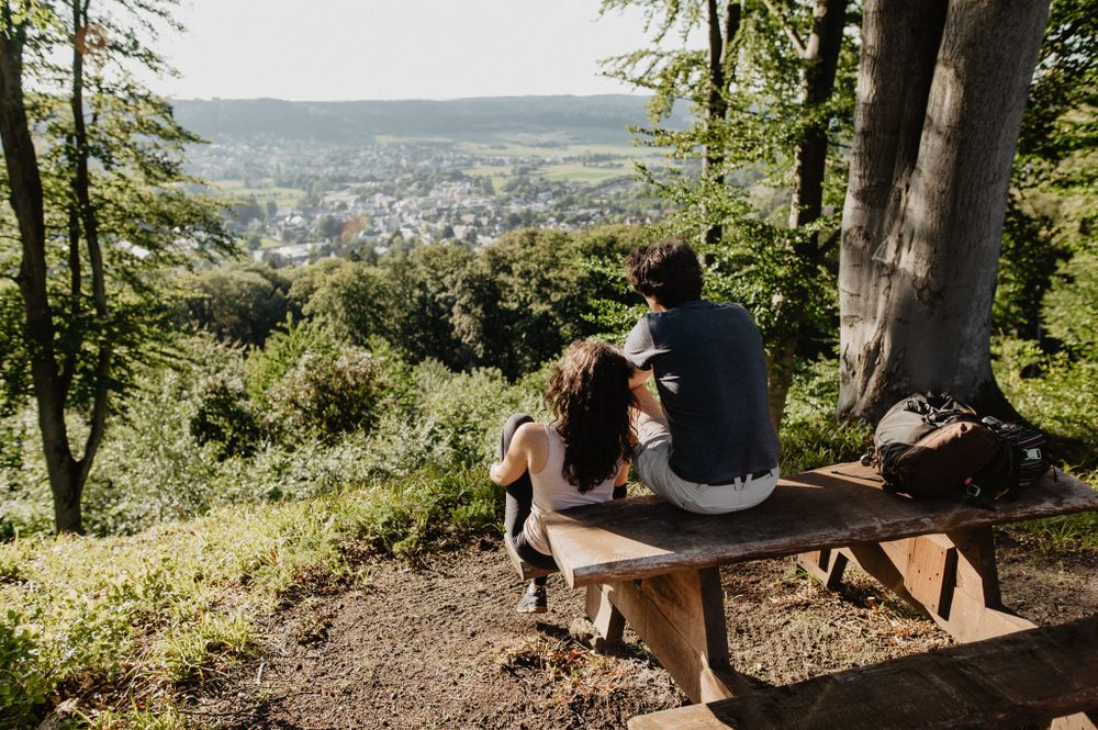
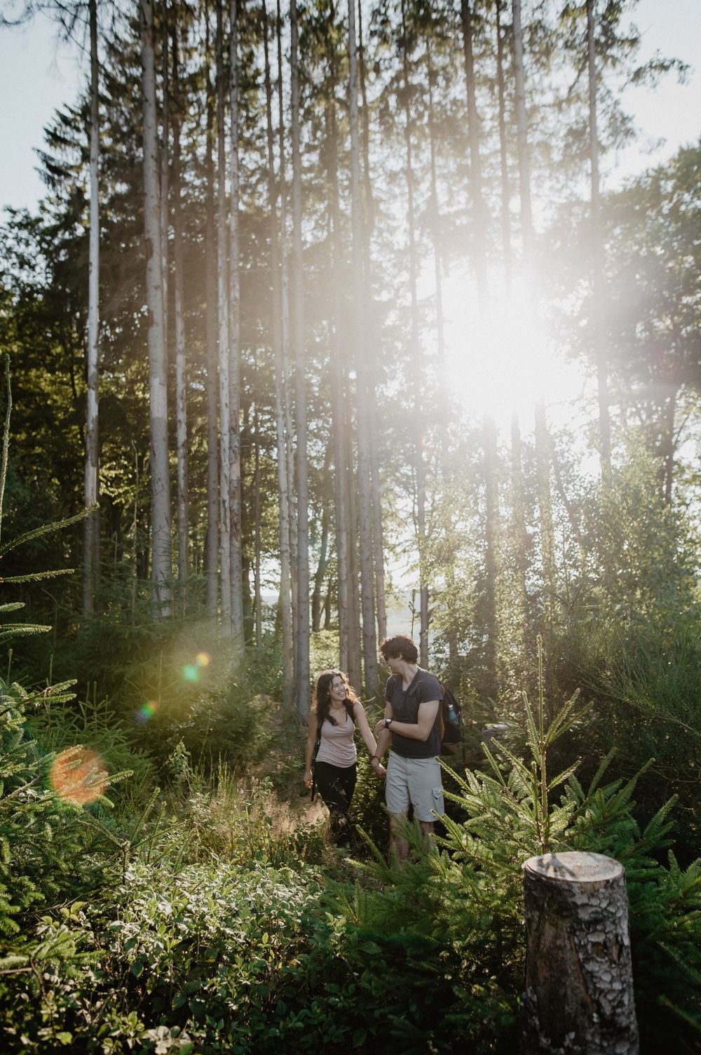
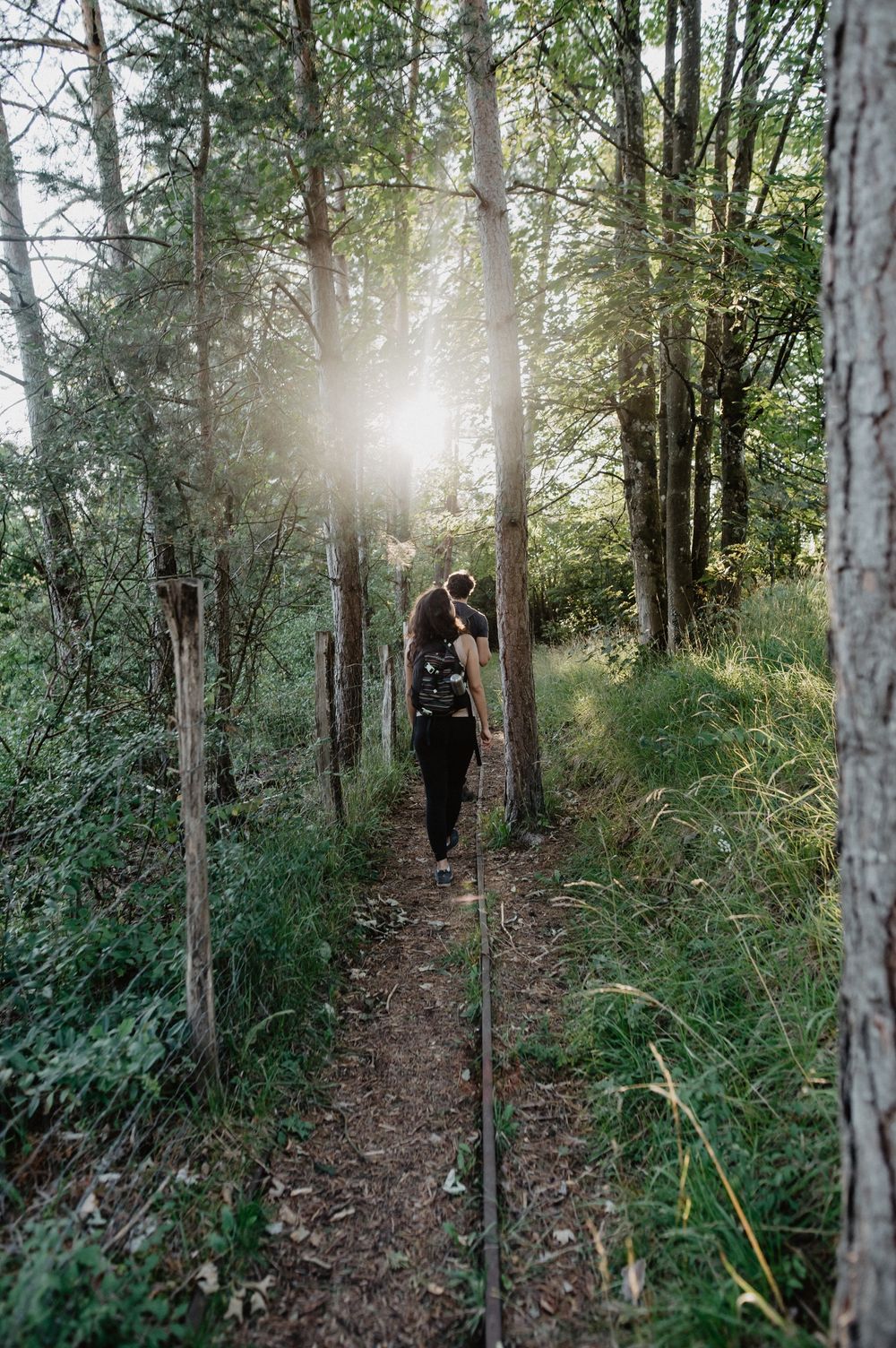
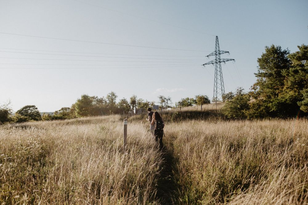
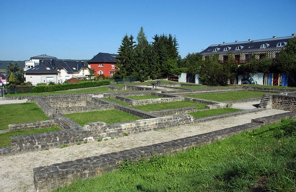
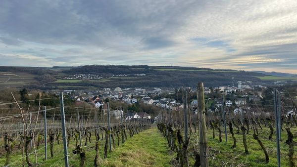
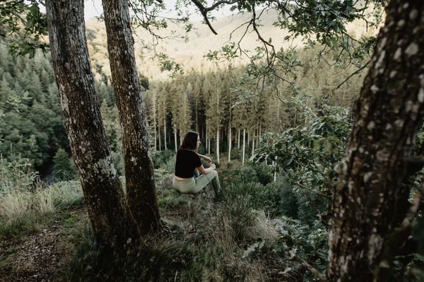
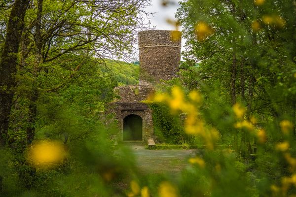
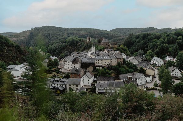
This discovery-rich route leads through the unique nature reserve “Sonnebierg” – along old railway tracks that recall the closed gypsum mines in Walferdingen – to the impressive “Raschpëtzer” facility, a still intact underground aqueduct system with imposing dimensions from Gallo-Roman times. Embark on an exciting journey through time.
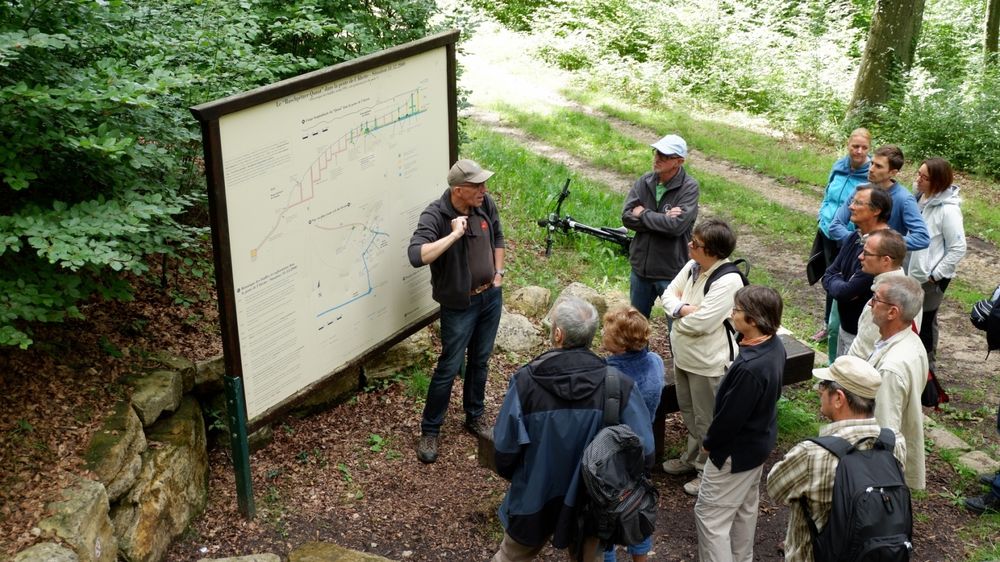
Signposting

Directions
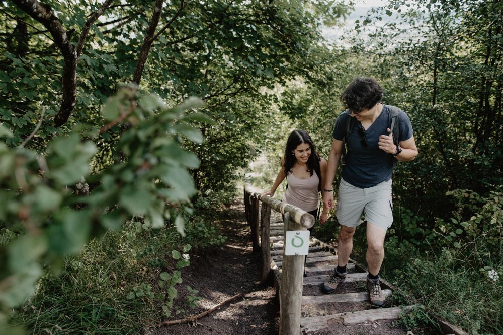
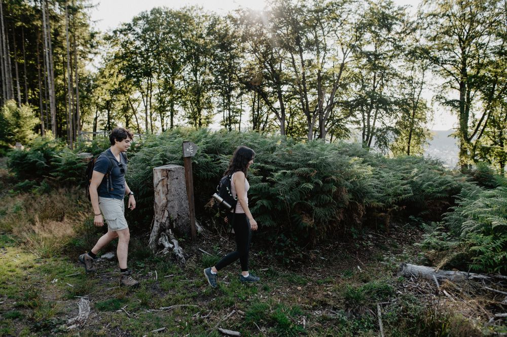
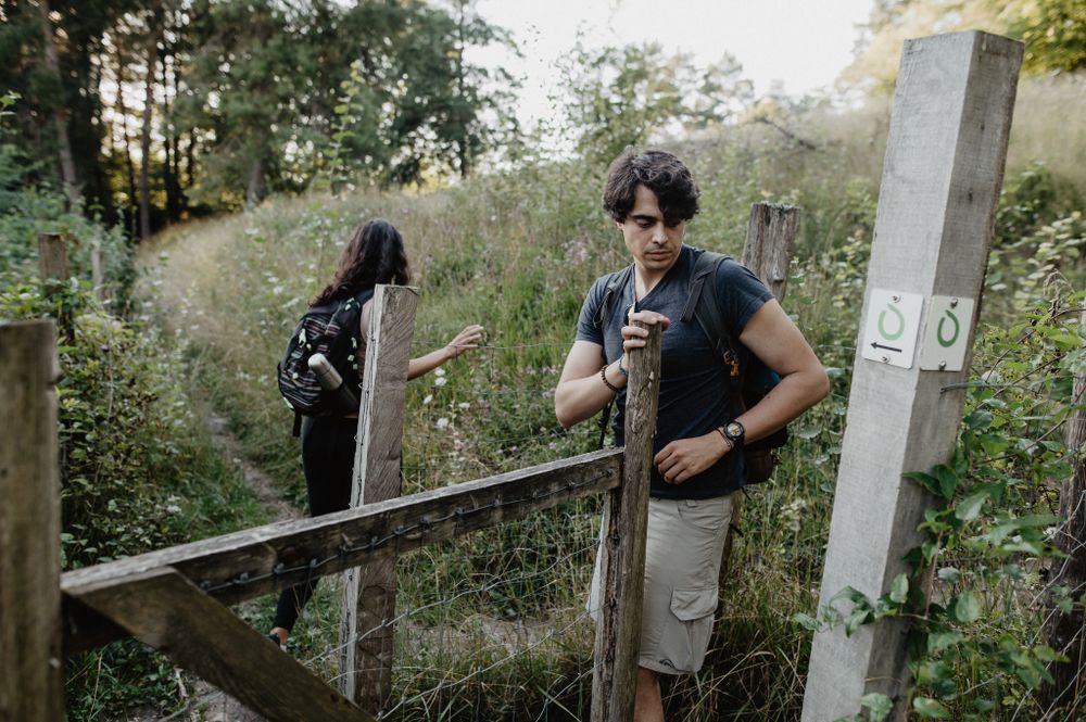
The hiking trail is marked in both directions. Please follow the white-green markers.
For your safety
Weather conditions such as wetness, ice and wind can make a route more difficult. The information refers to optimal conditions.
Equipment
Sturdy footwear and something to drink.
Journey
Use the free public transport and travel climate-friendly by bus and train.
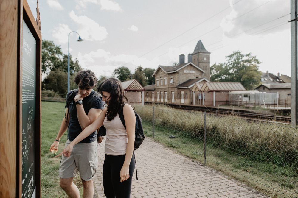
Nearest station: Walferdange
Parking:
Parking is available at the station.


 This website uses technology and content from the Outdooractive Platform.