Description
This hike can easily be combined with a visit to the Ourdaller farm shop. In the Kalborn farm shop, you will find a variety of Ourdaller products as well as selected natural products from the region. Lovers of both creative and traditional cooking will find plenty to enjoy there! Taste natural products such as poppy seeds with a pleasant nutty flavour, natural Ourdaller honey, different kinds of mustard as well as mustard seeds, buckwheat noodles and flour, various cold-pressed cooking oils, our hemp tea varieties, beer and other spirits.
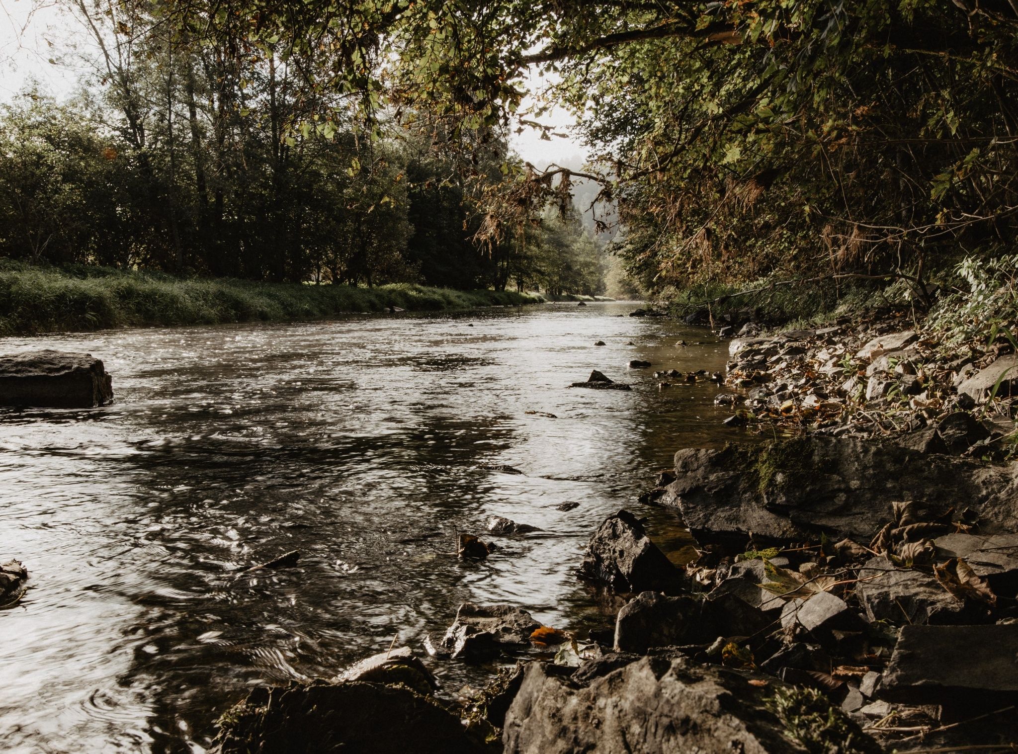
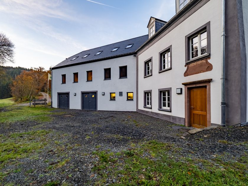
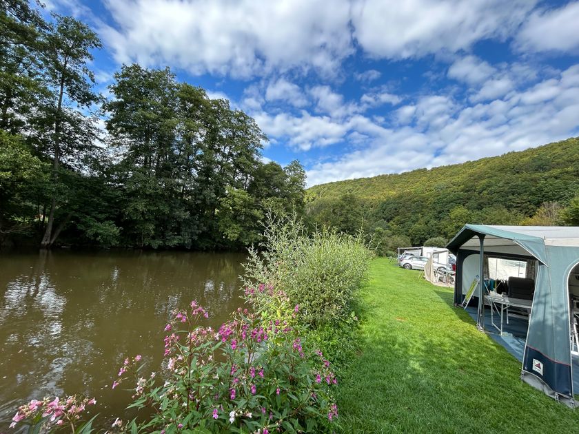
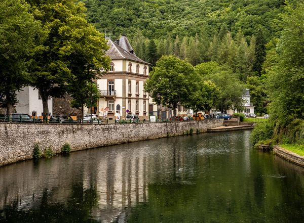
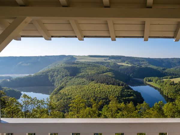
The Our river is an important livelihood for its inhabitants, with the river mussel being one of the most prominent. You can learn about this in the exhibition at the Kalborn Mill. The highlight of this route along the Our can be found at the Kailslee viewpoint. For the steep ascent, you will also be rewarded with a special view of the Our valley.
Signposting
Directions
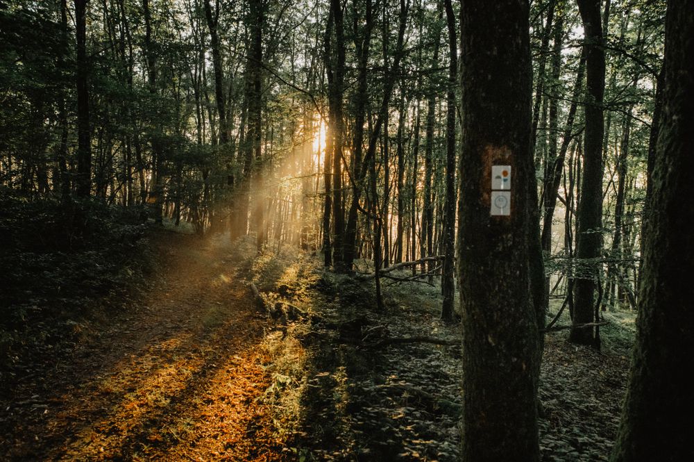
The hiking trail is marked in both directions. Please follow the Éislek marking sign.
For your safety
Weather conditions such as wetness, ice, and wind can make a route more difficult. The information refers to optimal conditions.
Equipment
Sturdy footwear and something to drink.
Journey
Use the free public transport and travel climate-friendly by bus and train.
Nearest bus stop (50 m): "Kalborn/Kaalber"
www.mobiliteit.lu
Parking:
There is a parking lot directly at the starting point.


 This website uses technology and content from the Outdooractive Platform.