Starting point
1, am Millenhaff
Destination
1, am Millenhaff
Distance
12,05 km
Duration
3:04 h
Difficulty
medium
  • Condition
Highest point
318 Hm
Lowest point
241 Hm
Aggregated Ascent
97 Hm
Aggregated Descent
97 Hm
Circular routes Visit Luxembourg

Description

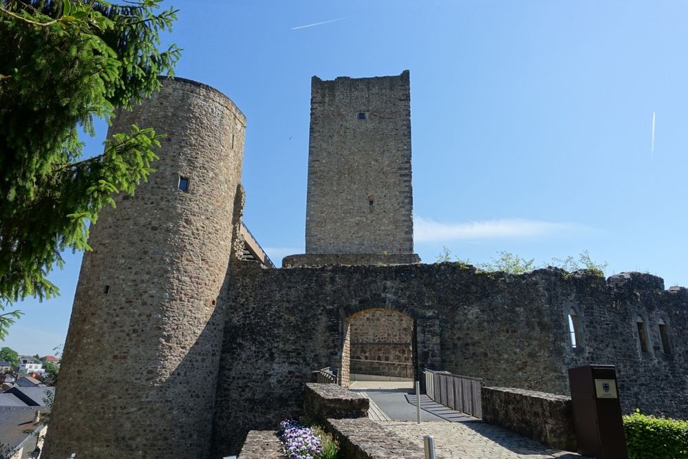
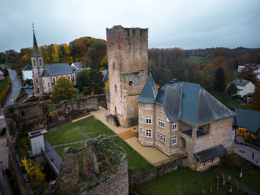
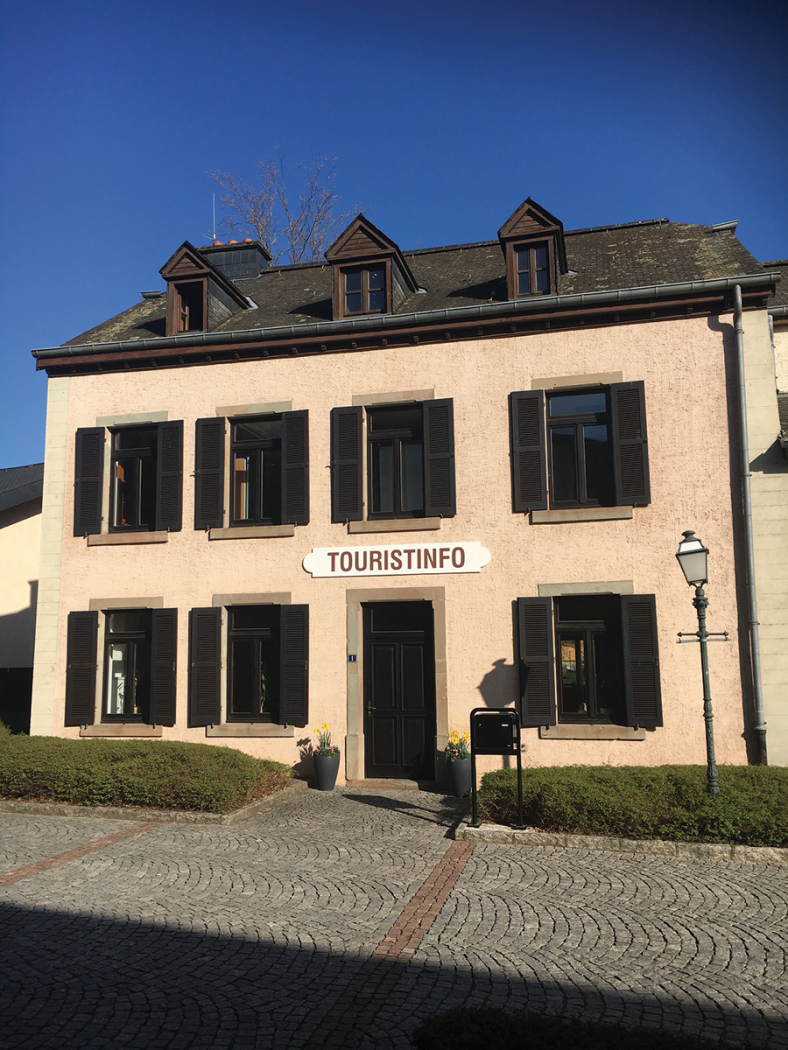
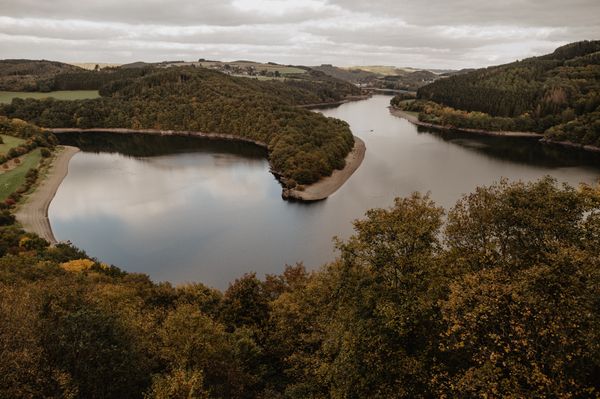
Circular walk Useldange II

This route starts at the Tourist Info and follows a cycle path along the castle ruins. It then goes through the Hënsdref forest near Rippweiler before getting to the outskirts of Useldange via Schwebach. On its way back, it crosses an former railway.

Please make sure to enable your Cookies in case you don't see this content.

Suggestions nearby

Auto-pédestre trail Useldange II

  • © TouristInfo Atert-Wark
    Tourist Info Wëlle Westen
    Tourist Info Wëlle Westen
    Find out more
  • © Sophie Margue-DGT
    Hôtel-Brasserie & Ecolodge Péitche Lauer
    WifiParkingRestaurant
  • © Guy Krier
    Useldange Castle
    Useldange Castle
    Find out more

Similar hiking tours

© © Wanderbüro Saar-Hunsrück, Klaus-Peter Kappest, SaarSchleifenLand
Dream loops
"Traumschleife" Schengen without borders
Distance: 8,54 km
Duration: 3:30 h
Difficulty: medium
Find out more
© Visit Luxembourg
Distance trails
21 Station to station Bettembourg - Dudelange-Burange
Distance: 14,66 km
Duration: 3:45 h
Difficulty: medium
Find out more
© CFL, Visit Luxembourg
Distance trails
22 Station to Station Dudelange - Burange - Rumelange
Distance: 10,22 km
Duration: 3:05 h
Difficulty: medium
Find out more
© ORT Sud
Distance trails
23 Station to station Rumelange - Kayl
Distance: 12,57 km
Duration: 3:25 h
Difficulty: medium
Find out more
© Visit Luxembourg
Distance trails
25 Station to station Kayl - Schifflange - Esch-sur-Alzette
Distance: 21,71 km
Duration: 6:05 h
Difficulty: medium
Find out more
© Pulsa Pictures, ORT SUD
Distance trails
26 Station to station Esch-sur-Alzette - Belvaux-Soleuvre
Distance: 9,05 km
Duration: 2:30 h
Difficulty: medium
Find out more
© Visit Luxembourg
Distance trails
27 Station to station Belvaux-Soleuvre-Oberkorn
Distance: 5,20 km
Duration: 1:25 h
Difficulty: medium
Find out more
© ORT Sud
Distance trails
28 Station to station Oberkorn - Niederkorn
Distance: 8,69 km
Duration: 2:25 h
Difficulty: medium
Find out more
© ORT Sud
Distance trails
29 Station to station Niederkorn - Rodange
Distance: 10,12 km
Duration: 2:55 h
Difficulty: medium
Find out more