Starting point

Gare Rumelange, 2, Grousstrooss L-3730 Rumelange

Destination

Gare Rumelange, 2, Grousstrooss L-3730 Rumelange

Distance
6,84 km
Duration
2:05 h
Difficulty
medium
  • Condition
Highest point
374 Hm
Lowest point
295 Hm
Aggregated Ascent
203 Hm
Aggregated Descent
203 Hm
Circular routes Visit Luxembourg

Description

Refreshment stops available
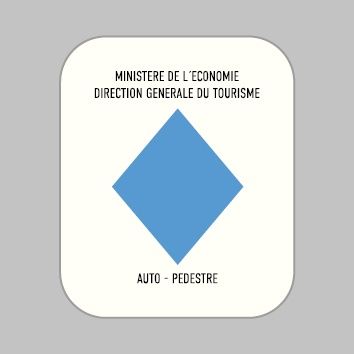
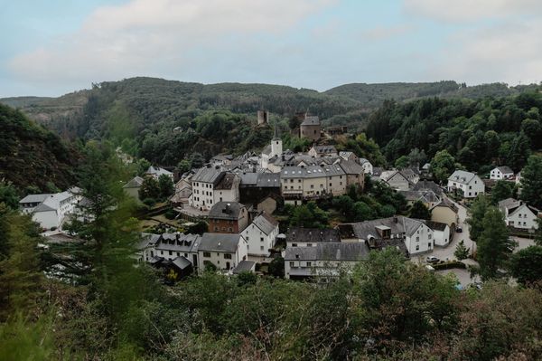
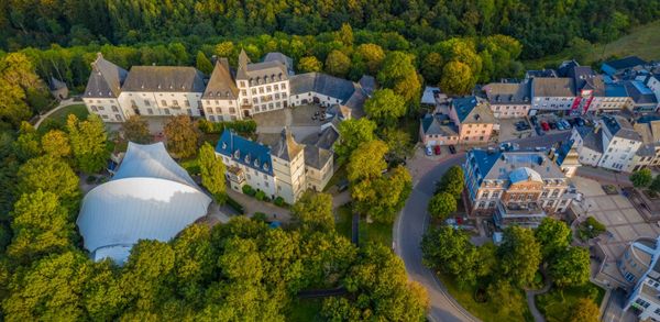
Hike around the old miners city of Rumelange on the Auto-pédestre trail Rumelange - Gare.

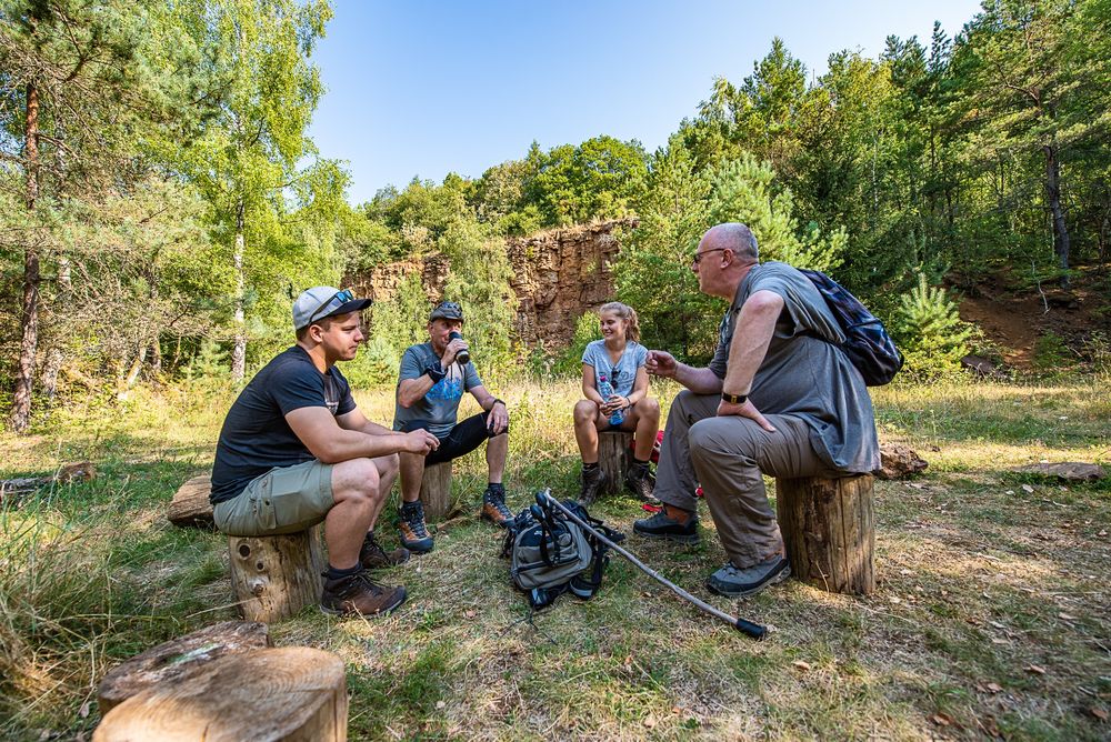
The Auto-Pédestre starts at the train station in Rumelange, where you can decide whether you want to head straight out into the countryside or spend some time exploring the town of Rumelange. If you opt for the countryside first, you will enter the Haard-Hesselsbierg-Staebierg nature reserve, the largest in Luxembourg. Here you will witness former mining heaps and see the red of the iron ore. The trail leads mainly through the forest, but you can also return to the hustle and bustle of the town in a stone's throw.

Suggestions nearby

Auto-pédestre trail Rumelange - Gare

  • Playground "L'Aventure de la Mine" Rumelange
    Playground "L'Aventure de la Mine" Rumelange
    Find out more
  • © Musée National des Mines
    free
    with theLuxembourgPass
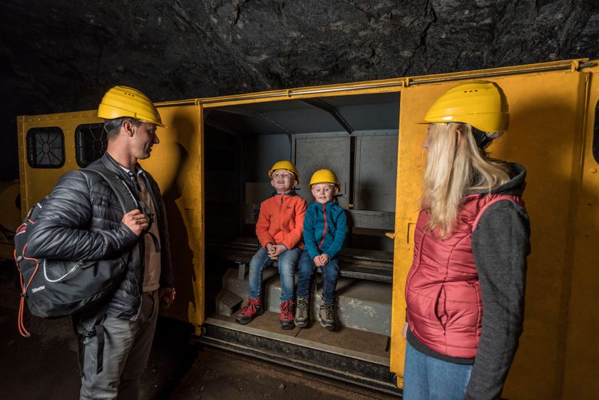
    National Mining Museum
    Life underground
    Find out more

Similar hiking tours

© Pulsa Pictures, ORT SUD
Thematic paths
Didactic trail "Natura 2000" - Ellergronn
Distance: 11,92 km
Duration: 3:20 h
Difficulty: medium
Find out more
© Tom Barnich, Visit Berdorf
Circular routes
Local hiking trail - B17
Distance: 6,14 km
Duration: 1:40 h
Difficulty: medium
Find out more
© Jean-Pierre Tholl, Visit Guttland
Circular routes
Auto-pédestre trail Grosbous
Distance: 8,55 km
Duration: 2:20 h
Difficulty: medium
Find out more
© Visit Luxembourg
Thematic paths
Didactic nature path "Joffer Margot"
Distance: 6,88 km
Duration: 2:00 h
Difficulty: medium
Find out more
© Jeniska Photography, Visit Guttland
Guttland.Trails
Guttland.Trail Schéiferei
Distance: 10,23 km
Duration: 3:05 h
Difficulty: medium
Find out more
© Visit Éislek, Visit Éislek
Circular routes
Local hiking trail WI 5 - Eschweiler Halte
Distance: 7,98 km
Duration: 2:20 h
Difficulty: medium
Find out more
© Visit Éislek, Visit Éislek
Circular routes
Local hiking trail WN 3 - Brachtenbach
Distance: 7,69 km
Duration: 2:15 h
Difficulty: medium
Find out more
© Visit Éislek, Visit Éislek
Circular routes
Local hiking trail WS 1 - Winseler
Distance: 4,31 km
Duration: 1:15 h
Difficulty: medium
Find out more
© Visit Éislek, Visit Éislek
Circular routes
Local hiking trail WS 3 - Berlé
Distance: 6,98 km
Duration: 1:55 h
Difficulty: medium
Find out more