Description
Round hiking route Mondorf-les-Bains
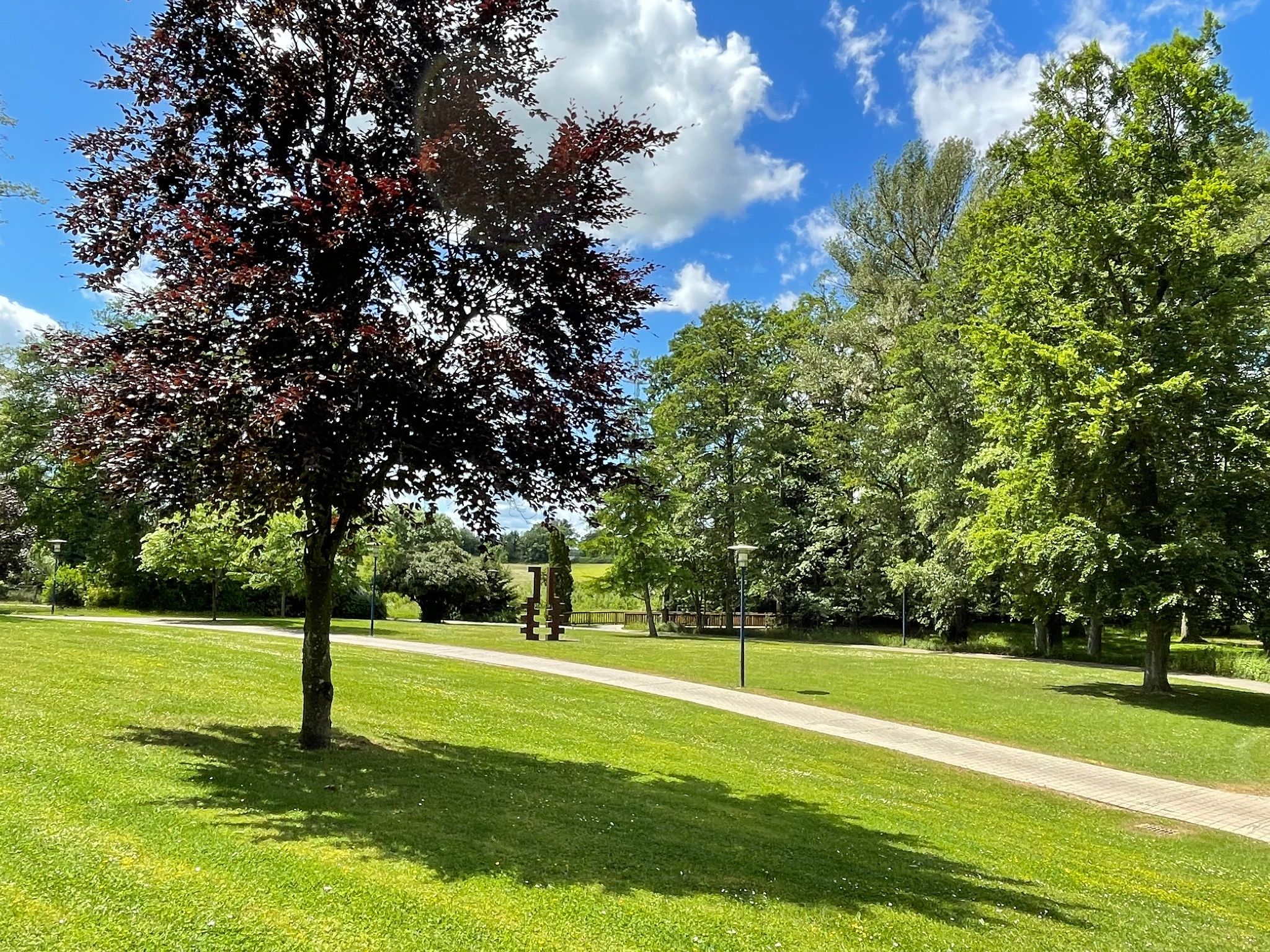
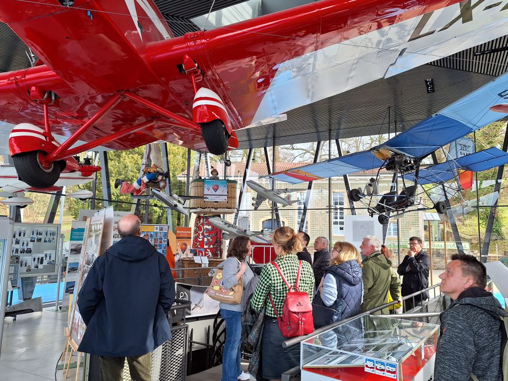
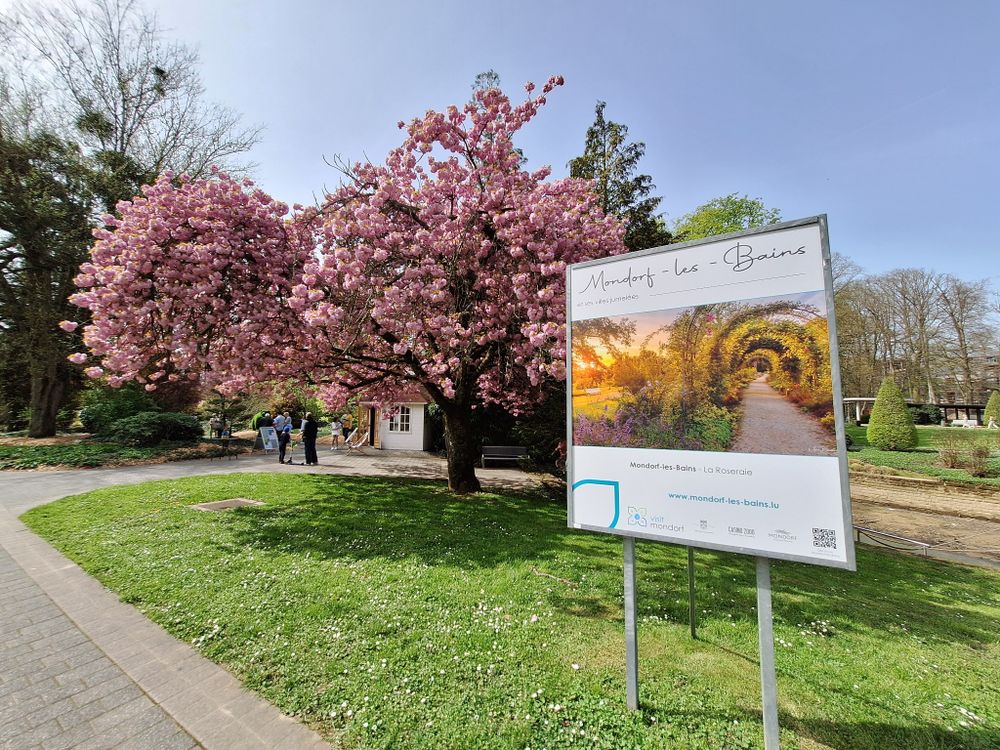
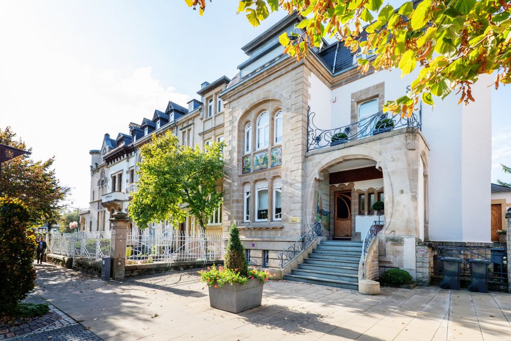
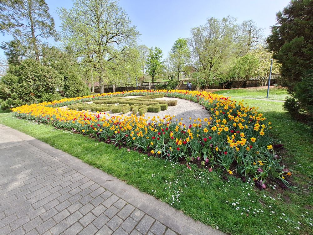
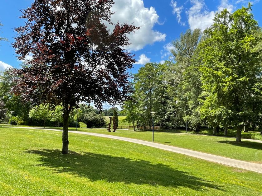
The starting point of this circular hiking trail is at the square "Bei der Albaach" (26-28, Avenue Frantz Clément). The path continues along the river "Gander", which forms the natural border between Mondorf-les-Bains and Mondorff (F) up to the thermal bath. You then enter a magnificent 40-hectare park, where you will find the aviation museum in the pavilion "Source Kind" and the "Waasserhaus", nowadays a cinema. Follow the main street to the "Wouerbesch", which invites you to rest and relax. Then continue along the road to the neighboring village Altwies, where you can enjoy the beautiful green surroundings. Once you reach the Kastell, follow the border river back to the starting point.
Signposting
Directions
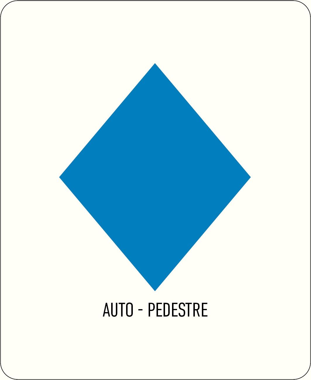
Follow the blue diamond on white background, the path is marked in both directions.
Journey
Nearest bus stop: Mondorf, Christophorus
Parking:
A parking lot is located directly opposite the starting point.


 This website uses technology and content from the Outdooractive Platform.