Starting point
Larochette: Tourist Info
Destination
Larochette: Tourist Info
Distance
8,01 km
Duration
2:40 h
Difficulty
medium
  • Condition
  • Technique
Highest point
351 Hm
Lowest point
270 Hm
Aggregated Ascent
188 Hm
Aggregated Descent
188 Hm
Circular routes Visit Luxembourg

Description

Scenic
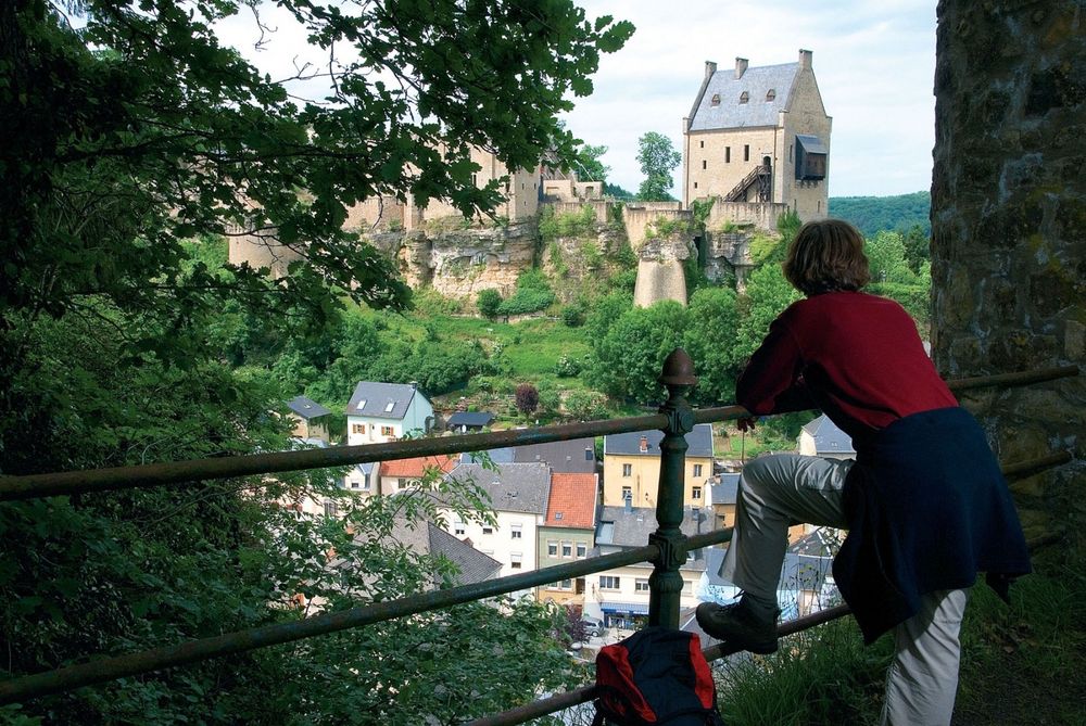
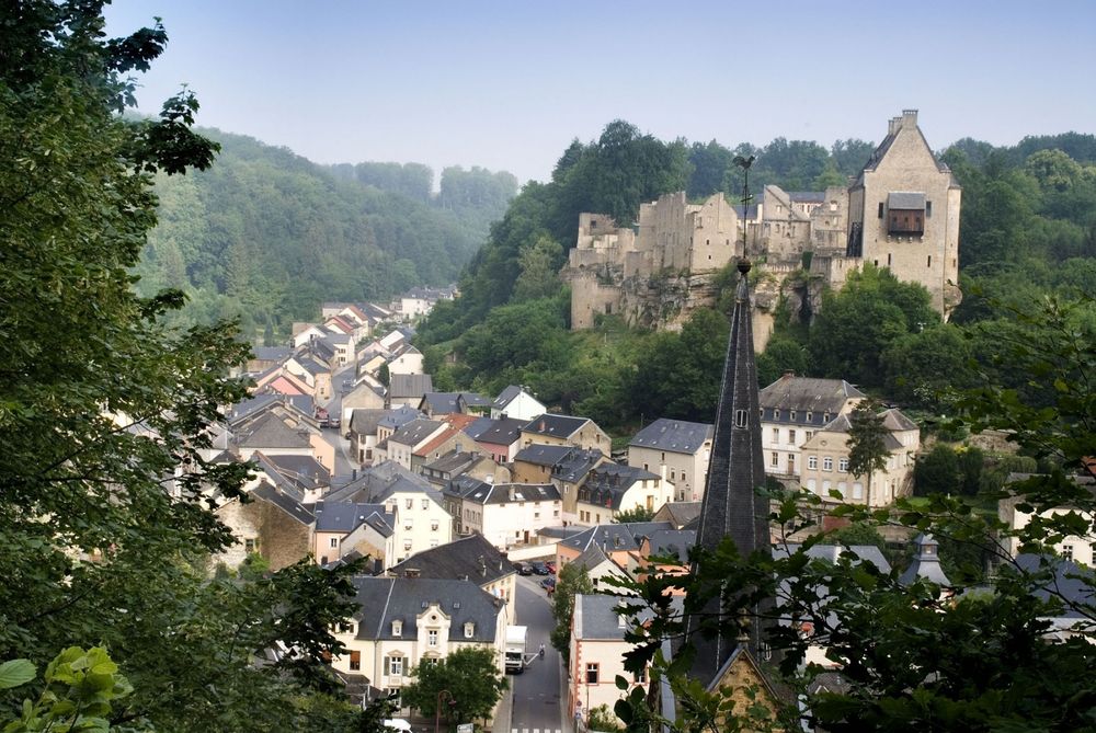
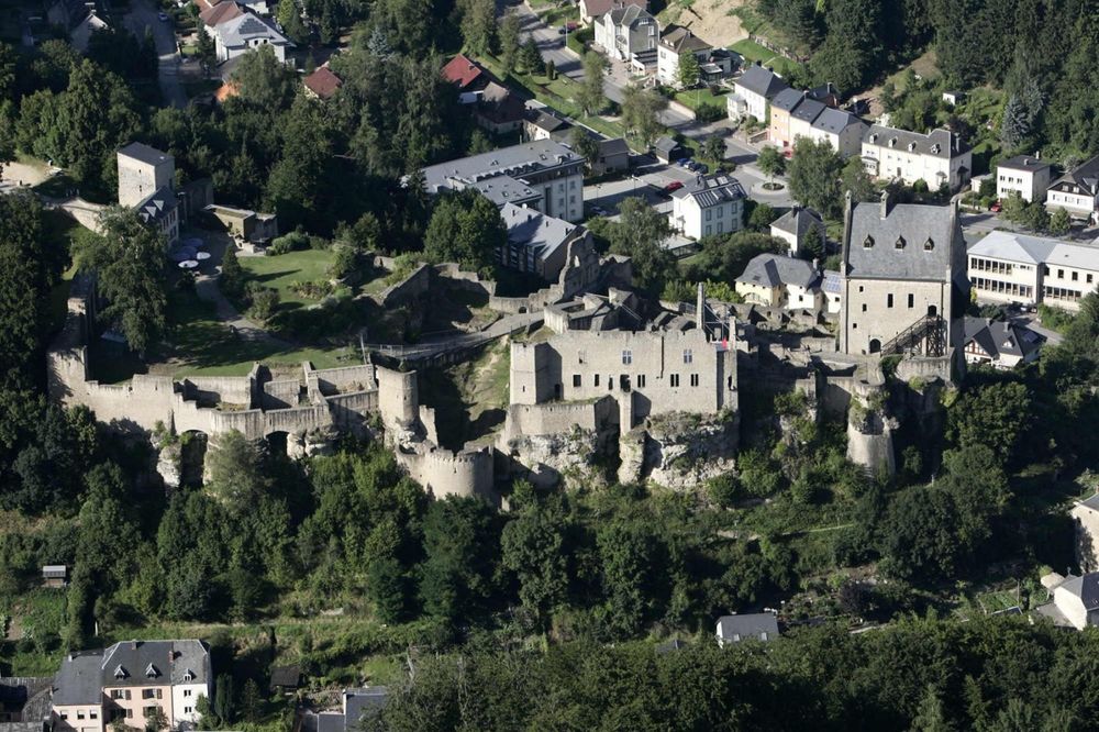
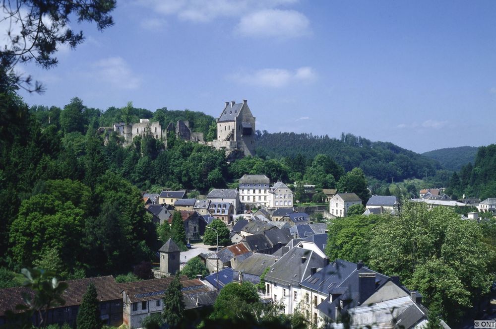
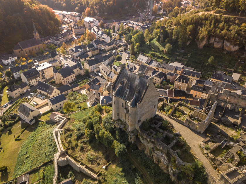
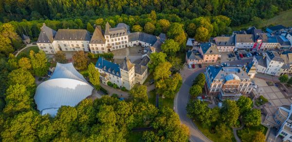
The highlights of this tour are the spectacular different views you will have at every viewpoint of Larochette castle as a reward for the sporty climbs of the tour.

Soon after the start, you will  be on your first steep ascent to "Verluerekascht", which offers the first spectacular view of Larochette castle. Inspired by the beautiful view, you continue uphill until you have left Larochette behind you. From here you go downhill again, past the source "Ousterbuer" and back to Larochette.

On the other side of the valley, you climb up again and will be rewarded by an impressive view from "Salzdeebelchen". This is a good place to take a final break before heading back down to Larochette.

On the way you should definitely not miss the detour to the "Himmelsbierg" - which, as the name suggests, offers another heavenly view.

Suggestions nearby

Auto-pédestre trail Larochette

  • © Pancake! Photographie
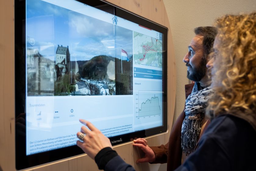
    Tourist Info Larochette
    Tourist Info Larochette
    Find out more
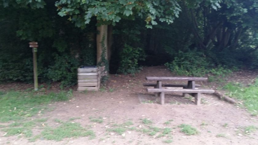
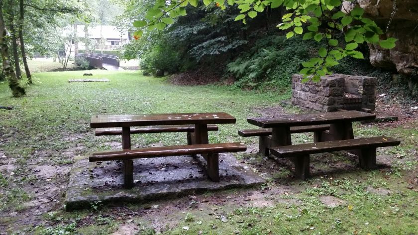
  • Picnic area Castle Larochette
    Picnic area Castle Larochette
    Find out more
  • © Thibaud Bastien
    free
    with theLuxembourgCard
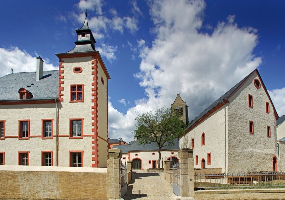
    Larochette Castle
    Immerse yourself in the medieval history of Larochette Castle.
    Find out more
  • Barbecue place Larochette
    Barbecue area near the forest with seating.
    Find out more
  • Parking - Schongfabrik Larochette
    Parking Schongfabrik Larochette
    Find out more

Similar hiking tours

© © Wanderbüro Saar-Hunsrück, Klaus-Peter Kappest, SaarSchleifenLand
Dream loops
"Traumschleife" Schengen without borders
Distance: 8,54 km
Duration: 3:30 h
Difficulty: medium
Find out more
© Visit Luxembourg
Distance trails
21 Station to station Bettembourg - Dudelange-Burange
Distance: 14,66 km
Duration: 3:45 h
Difficulty: medium
Find out more
© CFL, Visit Luxembourg
Distance trails
22 Station to Station Dudelange - Burange - Rumelange
Distance: 10,22 km
Duration: 3:05 h
Difficulty: medium
Find out more
© ORT Sud
Distance trails
23 Station to station Rumelange - Kayl
Distance: 12,57 km
Duration: 3:25 h
Difficulty: medium
Find out more
© Visit Luxembourg
Distance trails
25 Station to station Kayl - Schifflange - Esch-sur-Alzette
Distance: 21,71 km
Duration: 6:05 h
Difficulty: medium
Find out more
© Pulsa Pictures, ORT SUD
Distance trails
26 Station to station Esch-sur-Alzette - Belvaux-Soleuvre
Distance: 9,05 km
Duration: 2:30 h
Difficulty: medium
Find out more
© Visit Luxembourg
Distance trails
27 Station to station Belvaux-Soleuvre-Oberkorn
Distance: 5,20 km
Duration: 1:25 h
Difficulty: medium
Find out more
© ORT Sud
Distance trails
28 Station to station Oberkorn - Niederkorn
Distance: 8,69 km
Duration: 2:25 h
Difficulty: medium
Find out more
© ORT Sud
Distance trails
29 Station to station Niederkorn - Rodange
Distance: 10,12 km
Duration: 2:55 h
Difficulty: medium
Find out more