Description
A possible start and end point of the route is Heringer Millen in the town of Müllerthal, which was once one of the most important mills in the region. It now houses a restaurant and a tourist center. An alternative start and end point is the Konsdrefer Millen. There is also a place to eat at the local brewery there.
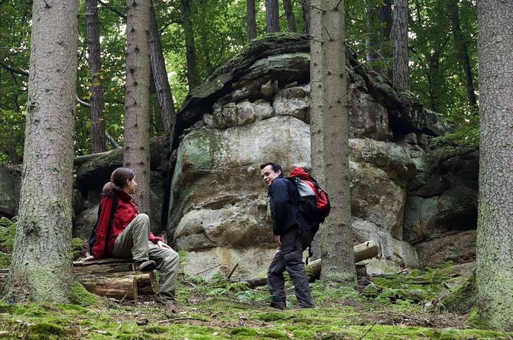
Goldkaul, Goldfralaee, Eilebuerg as well as Schelmelee and Ramelee are the names of some rocks that this route passes by. The peculiar names often originate from myths and legends. Due to weathering processes, the sandstone cliffs sometimes look like bizarre figures or faces.
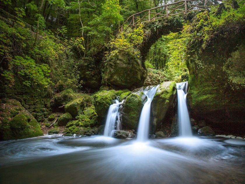
The Schiessentümpel is a picturesque waterfall on the Schwarze Ernz and is located directly on the path. With its idyllic stone and wood bridge, surrounding rocks, and lush vegetation, Schiessentümpel has become one of the most popular excursion destinations in the Müllerthal region – Little Luxembourg Switzerland.
For your safety
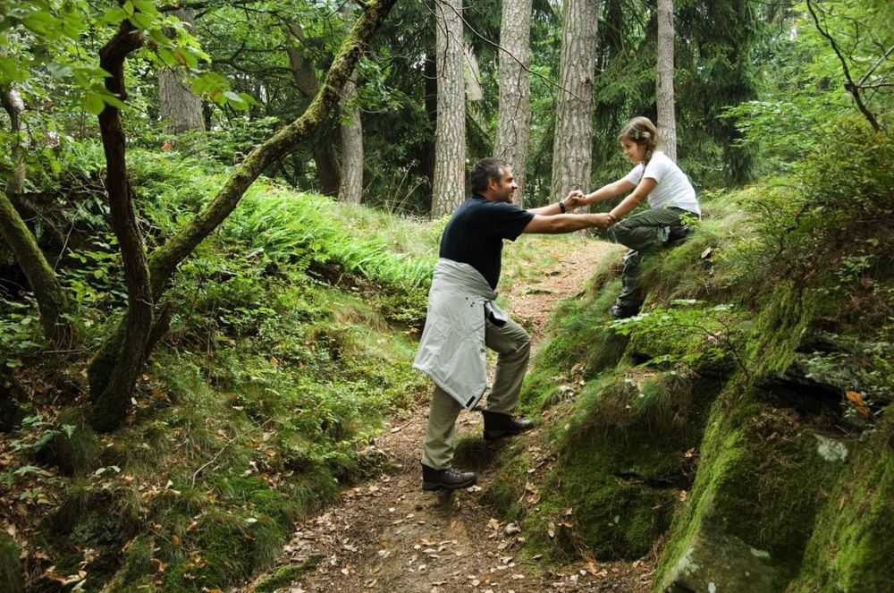
The rocks can be slippery when wet.
Equipment
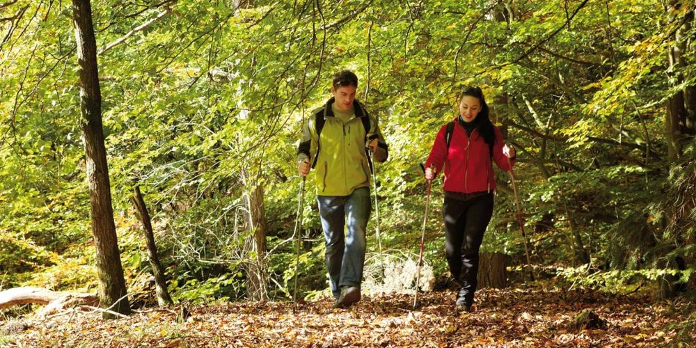
Sturdy footwear is required.


 This website uses technology and content from the Outdooractive Platform.