Description
The Minett Trail leads trough the Minett Region on 90 kilometres. You can split the trail in ten stages on which you can discover little villages and bigger cities, but also hike through eight nature reserves. These charm visitors with their old woods and former open pit mines whose cliffy rock faces, red rocks and pit brows are unique in Luxembourg.
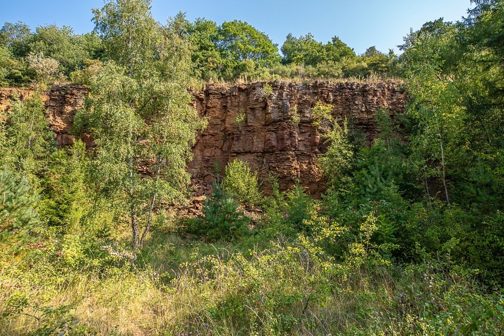
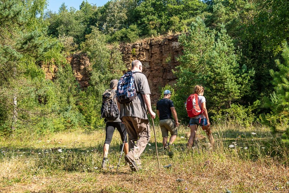
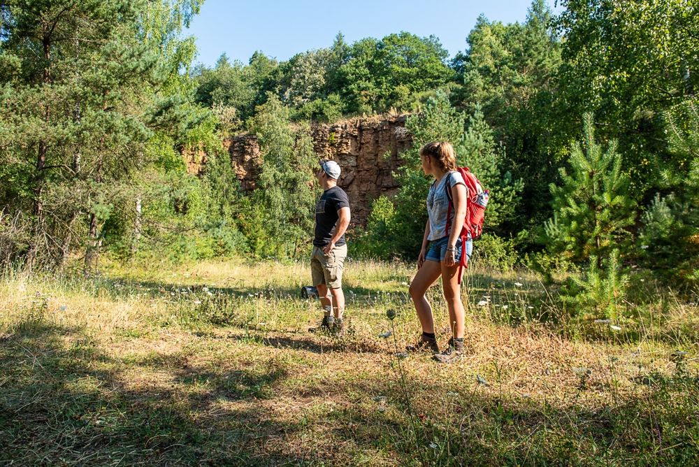
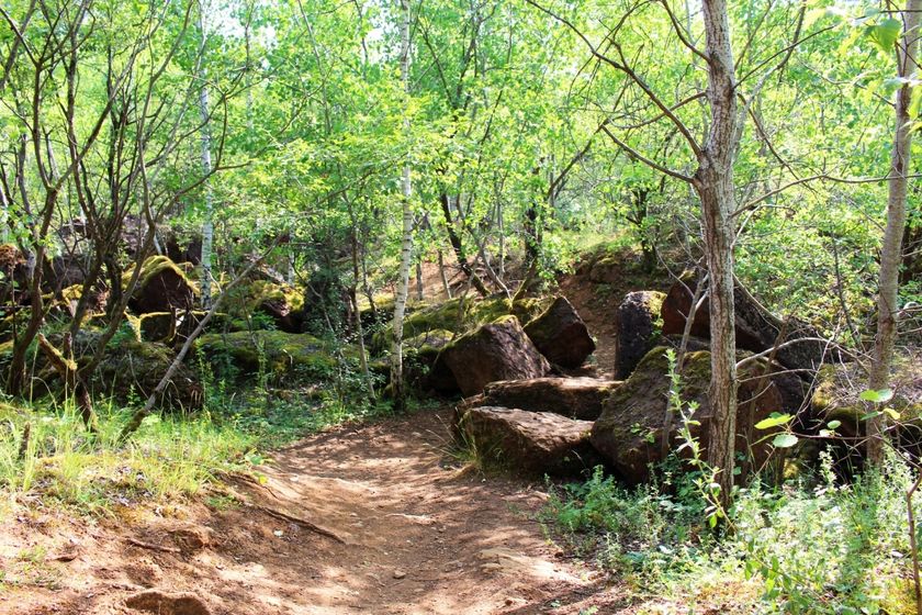
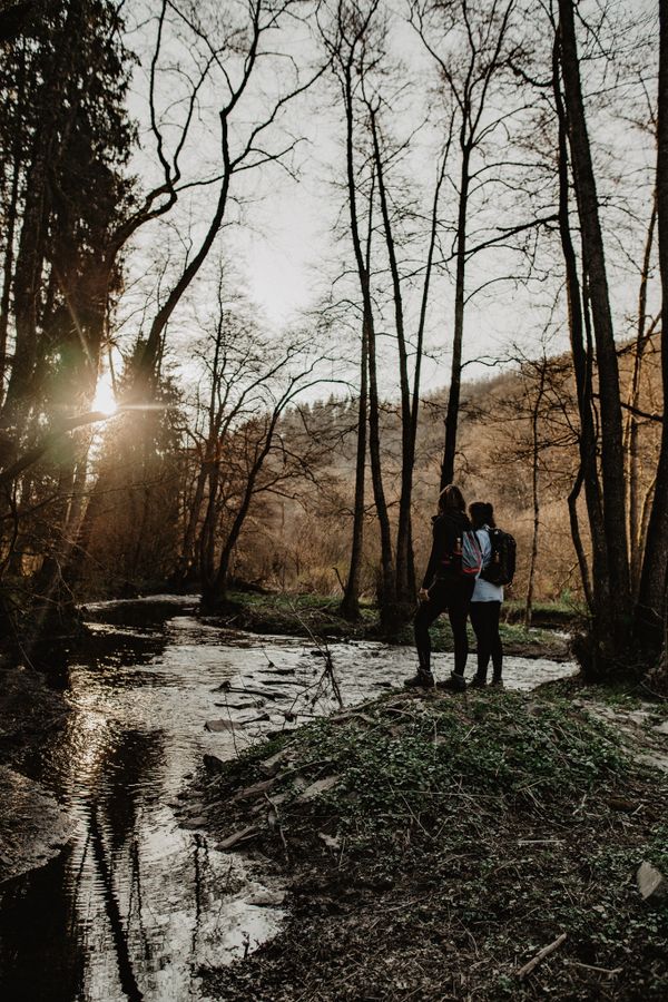
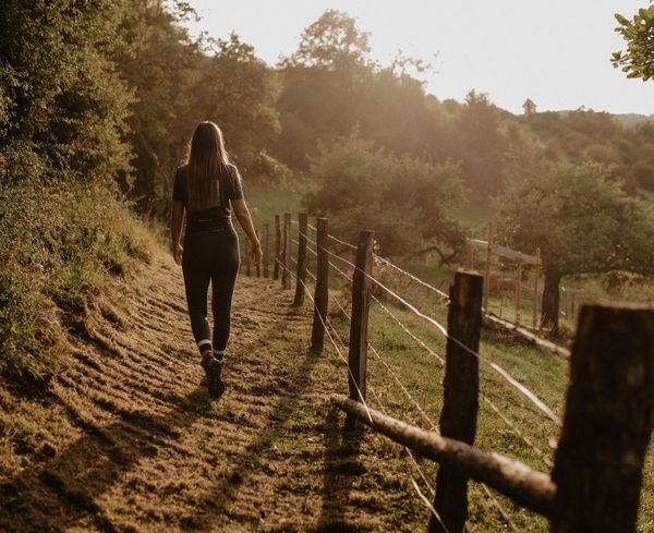
On this section you walk through the huge "Haard - Hesselsbierg - Staebierg" nature reserve; massive boulders, red rock faces and dense forests dominate this former lunar landscape. For decades, the precious "Minette" ore was mined here, which made an essential contribution to the economic development of the country from the beginning of the 20th century until the late 1980s.
In the nature reserve, the path leads past the longest connected rock face in Europe, which also stands out due to its distinctive red colour. Together with the exceptional biodiversity and nature in the "Haard-Hesselsbierg-Staebierg" nature reserve, this is the strength of this section.
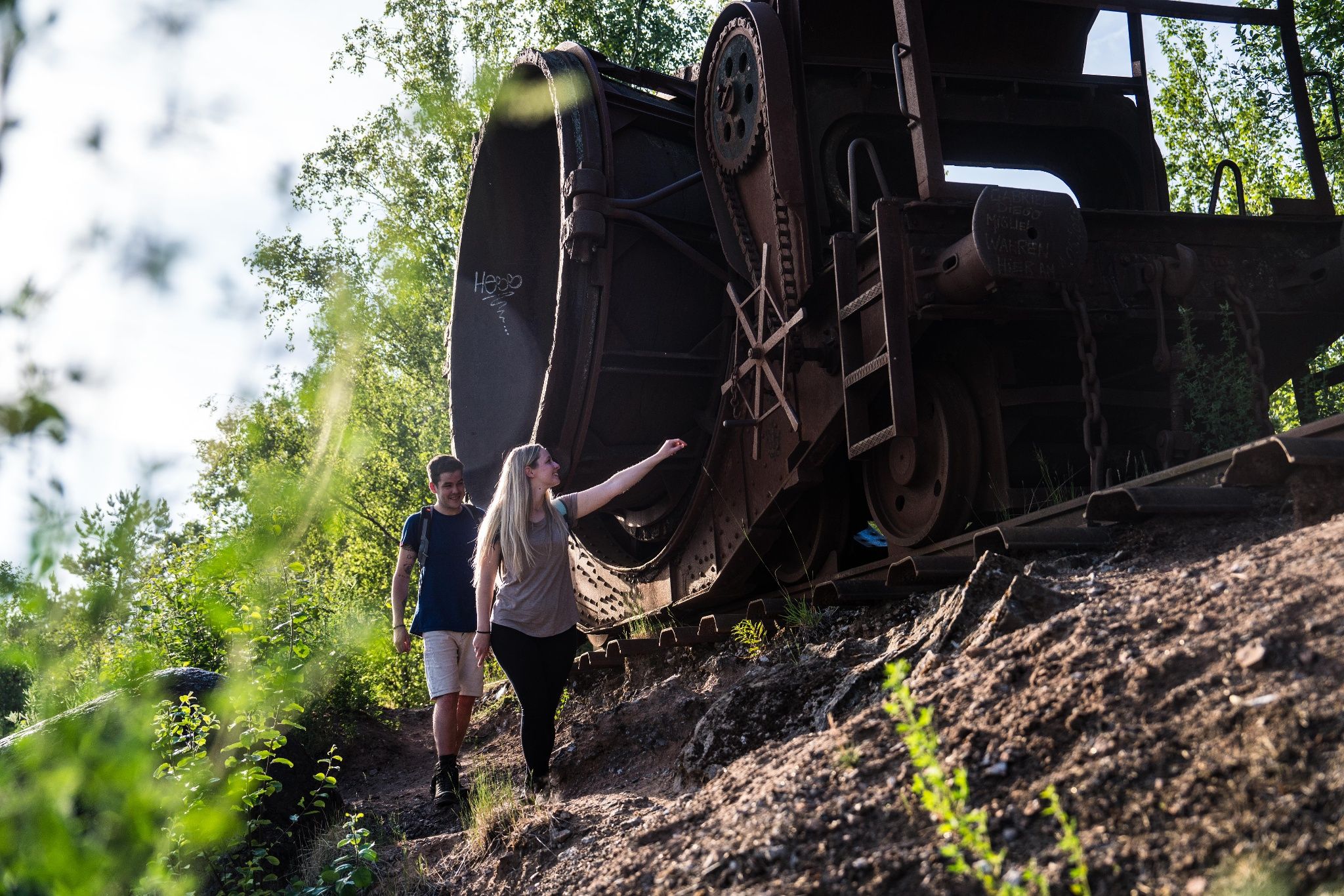
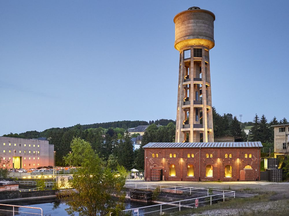
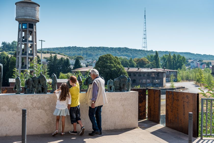
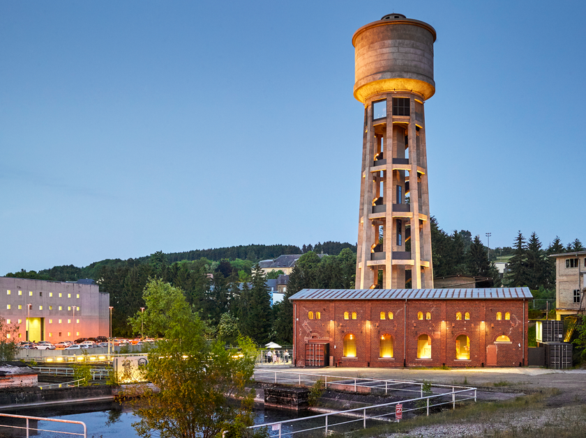
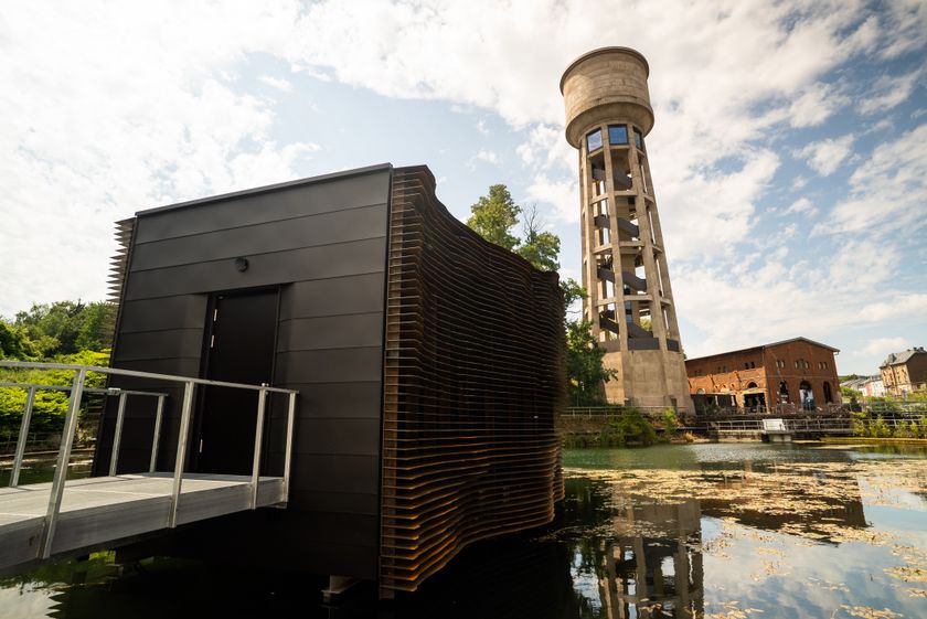
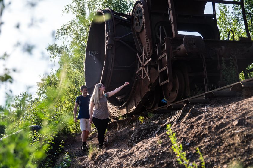
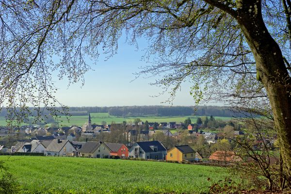
At the start in Rumelange you will also find the Musée National des Mines, where you can take a guided tour of the tunnels. There are also other contemporary witnesses of the industrial past along the way: a train waggon used for dumping the slag (the "Humpen") and a view of the former industrial area in Dudelange on arrival down from the nature reserve - with a view of the old water tower - clearly stand out here.
ATTENTION: Unfortunately, this section of the Minett Trail is regularly the victim of vandalism. We recommend you to download the GPX data before the hike, as the marking is often damaged or has been removed.

Signposting

Directions
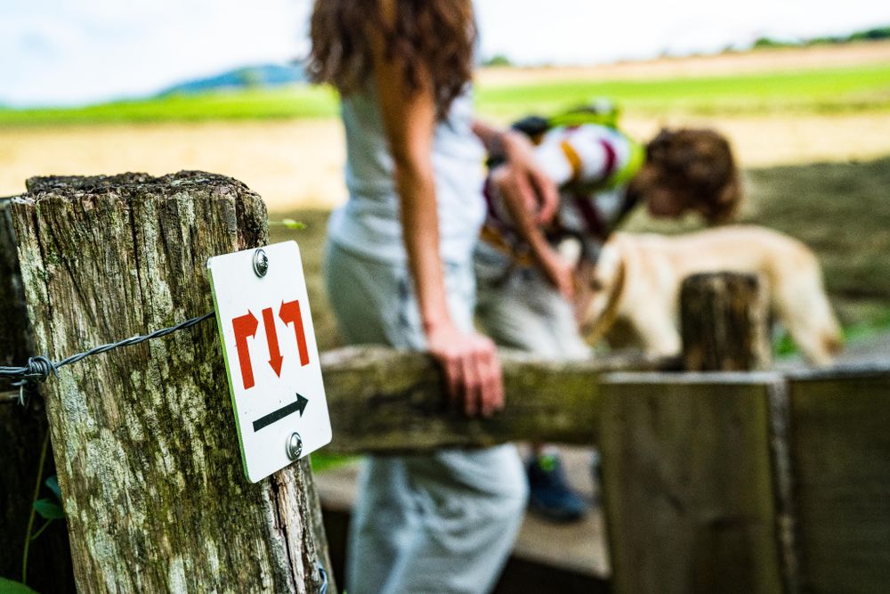
Please follow the "Minett Trail" signs, which can be followed either way down the trail.
This stage starts either at the Rumelange train station or at the Centre de Documentation de la Migration Humaine (CDMH) in Dudelange. Follow the official signposting: The signs show three red arrows on a white background. They are signposted "on sight" and may be affixed to streetlights or other posts.
While in our nature, you can find them on trees and posts. At important junctions you will also find signposts with arrows indicating the direction and information about the distance to specific points, as well as pictograms of points of interest.
For your safety
Please note that mountain bikers may meet you at times on the way and that the trail sometimes leads over street crossings in town. Therefore, please follow the given signs, do not deviate from the path and pay attention to your surroundings.
Equipment
Please remember to wear sturdy shoes and appropriate clothing in case of inclement weather.
Journey
The start and finish are at train stations. From here, there are direct trains to Luxembourg City.
Parking:
Parking spaces available at the start


 This website uses technology and content from the Outdooractive Platform.