Starting point
Bech: Becher Gare or Altrier: Centre
Destination
Bech: Becher Gare or Altrier: Centre
Distance
9,34 km
Duration
2:45 h
Difficulty
medium
  • Condition
  • Technique
Highest point
398 Hm
Lowest point
306 Hm
Aggregated Ascent
201 Hm
Aggregated Descent
201 Hm
Mullerthal Trail - Leading Quality Trails - Best of Europe Visit Luxembourg

Description

Scenic Refreshment stops available
The Mullerthal Trail offers four smaller tracks - the ExtraTours - which can also be characterized as very attractive hiking tracks. They can be considered as departures as well as additional tours when all the other hikes have been undertaken already.

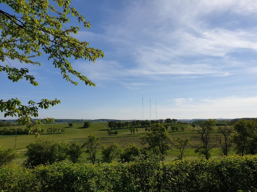
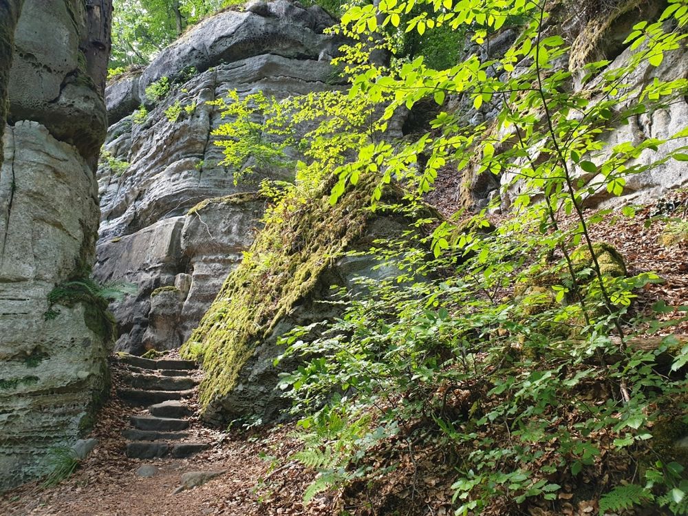
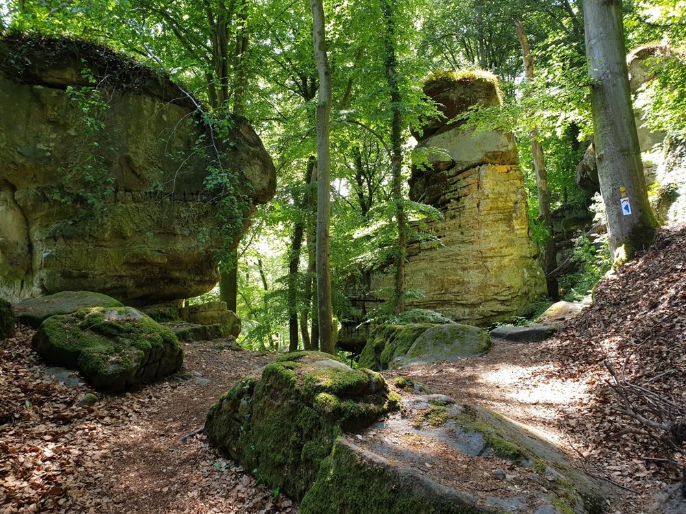
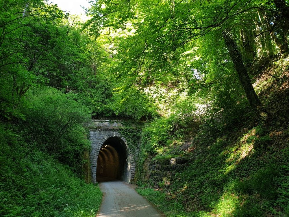
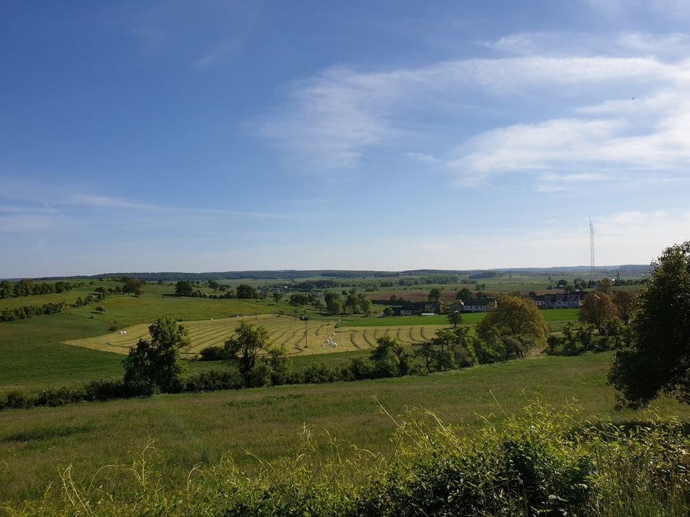
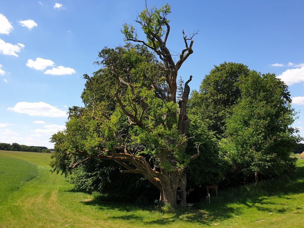
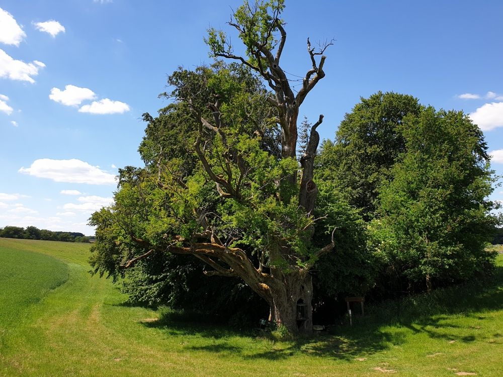
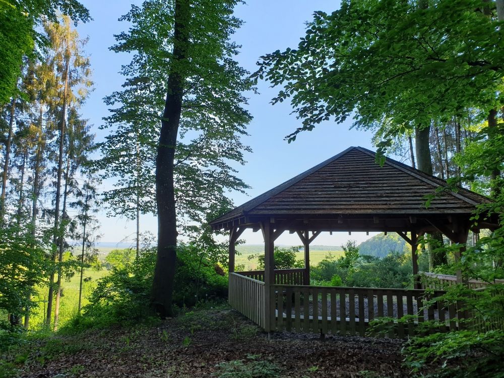
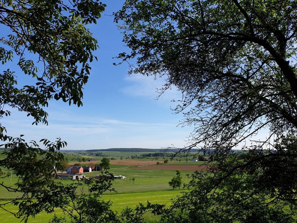
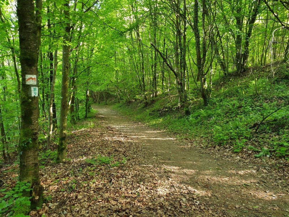
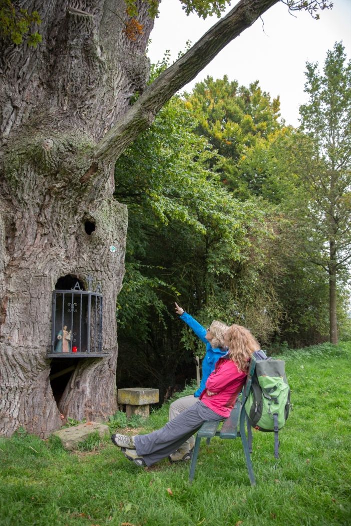
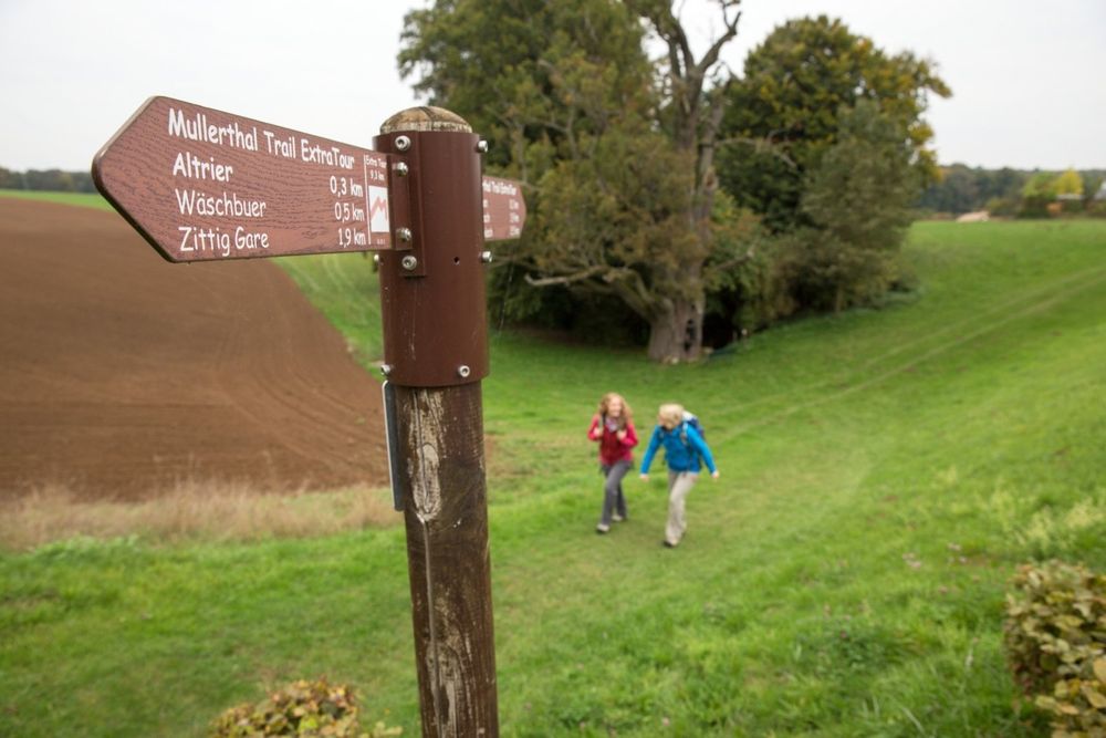
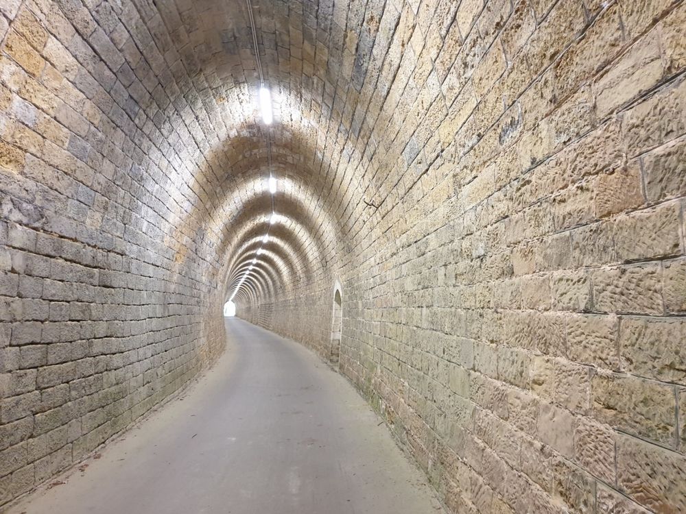
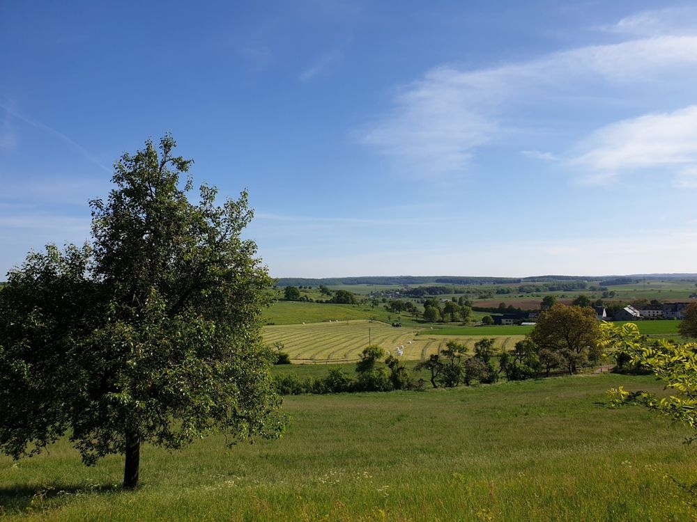
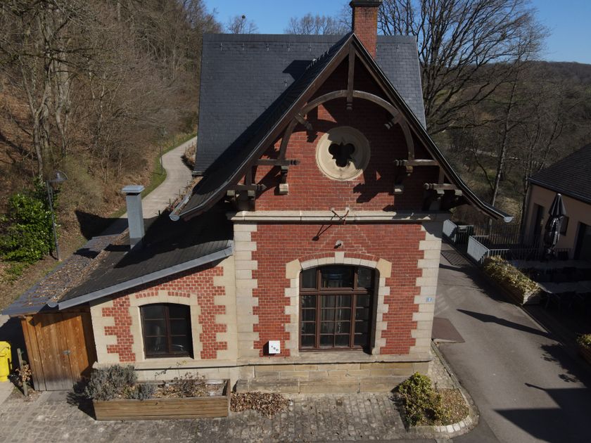
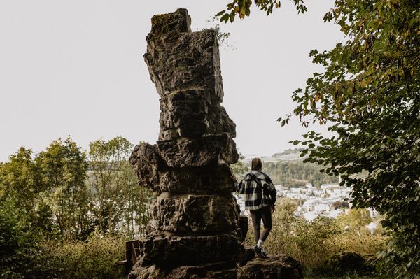
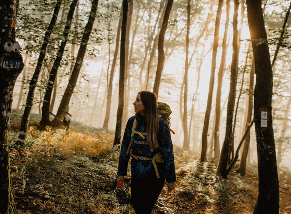
The ExtraTour C connects the localities of Bech and Altrier with the Mullerthal Trail. In Bech, you pass the old railway station (Bech Gare) which had been transformed into a chalet and then you go through a tunnel of 300 m which is used as cycle track - so beware of the bikes! Between Bech and Altrier you have very nice views over valleys. Worth seeing on this passage are the tumulus (an ancient Roman grave) and the natural site called “Bildchen” (a approx. 500-year old oak-tree)
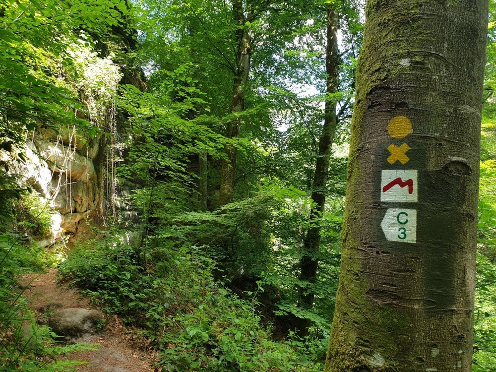
Similar hiking tours

© Visit Luxembourg
Distance trails
21 Station to station Bettembourg - Dudelange-Burange
Distance: 14,66 km
Duration: 3:45 h
Difficulty: medium
Find out more
© CFL, Visit Luxembourg
Distance trails
22 Station to Station Dudelange - Burange - Rumelange
Distance: 10,22 km
Duration: 3:05 h
Difficulty: medium
Find out more
© Visit Minett, Visit Minett
Distance trails
23 Station to station Rumelange - Kayl
Distance: 12,57 km
Duration: 3:25 h
Difficulty: medium
Find out more
© Visit Luxembourg
Distance trails
25 Station to station Kayl - Schifflange - Esch-sur-Alzette
Distance: 21,71 km
Duration: 6:05 h
Difficulty: medium
Find out more
© Pulsa Pictures_ORT SUD, Visit Luxembourg
Distance trails
26 Station to station Esch-sur-Alzette - Belvaux-Soleuvre
Distance: 9,05 km
Duration: 2:30 h
Difficulty: medium
Find out more
© Visit Luxembourg
Distance trails
27 Station to station Belvaux-Soleuvre-Oberkorn
Distance: 5,20 km
Duration: 1:25 h
Difficulty: medium
Find out more
© ORT Sud, Visit Luxembourg
Distance trails
28 Station to station Oberkorn - Niederkorn
Distance: 8,69 km
Duration: 2:25 h
Difficulty: medium
Find out more
© ORT Sud, Visit Luxembourg
Distance trails
29 Station to station Niederkorn - Rodange
Distance: 10,12 km
Duration: 2:55 h
Difficulty: medium
Find out more
© Visit Luxembourg
Distance trails
30 Station to station Oberkorn - Fond de Gras - Rodange
Distance: 17,78 km
Duration: 5:00 h
Difficulty: medium
Find out more