Description
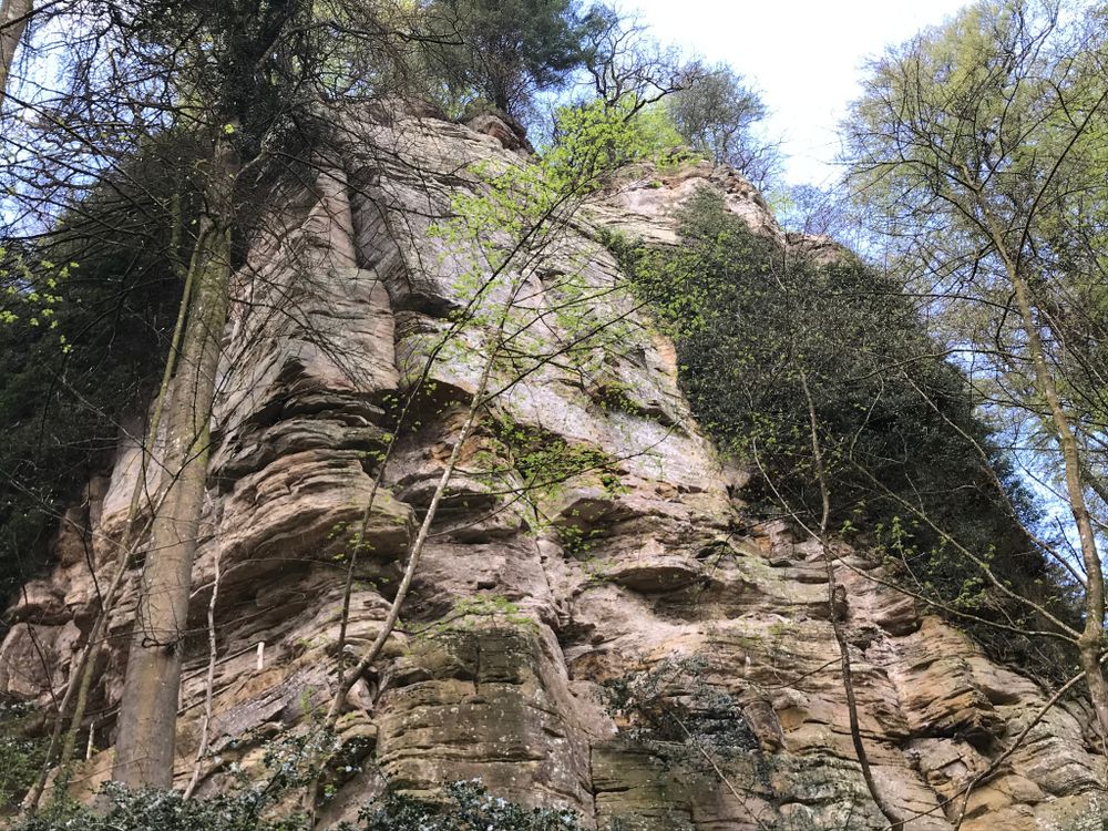
The starting point of the path is opposite the gas station in Bollendorf-Pont. You first walk along the Sûre and then you cross the national road N10. You go uphill and reach the fascinating rocky landscape of Berdorf.
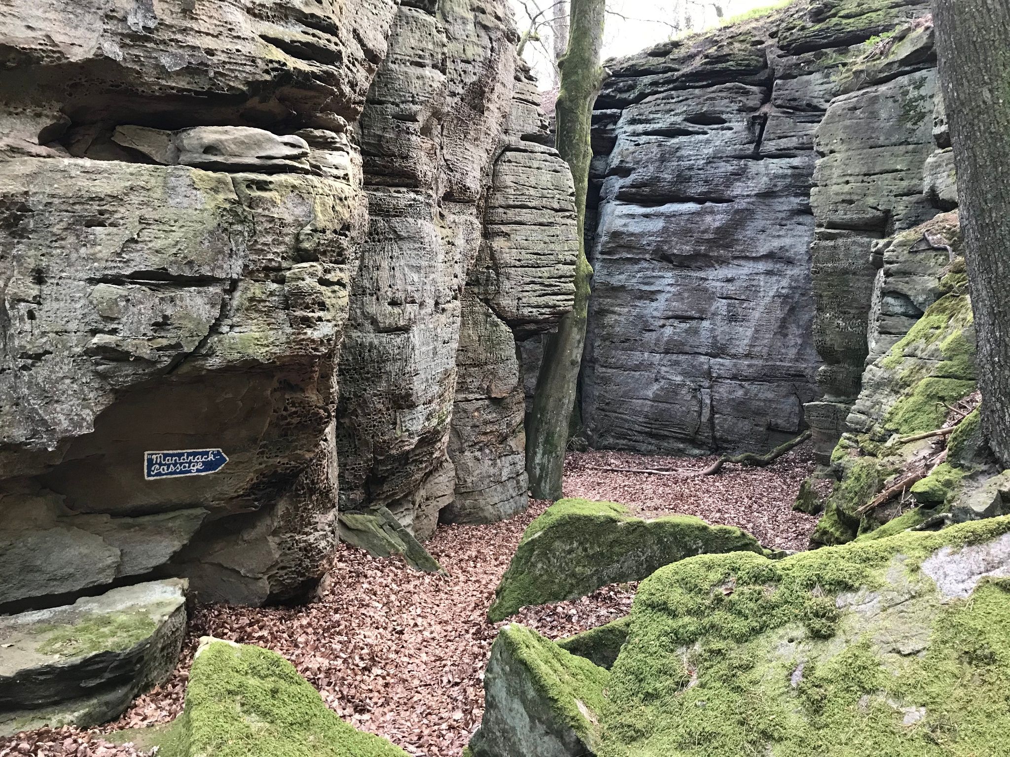
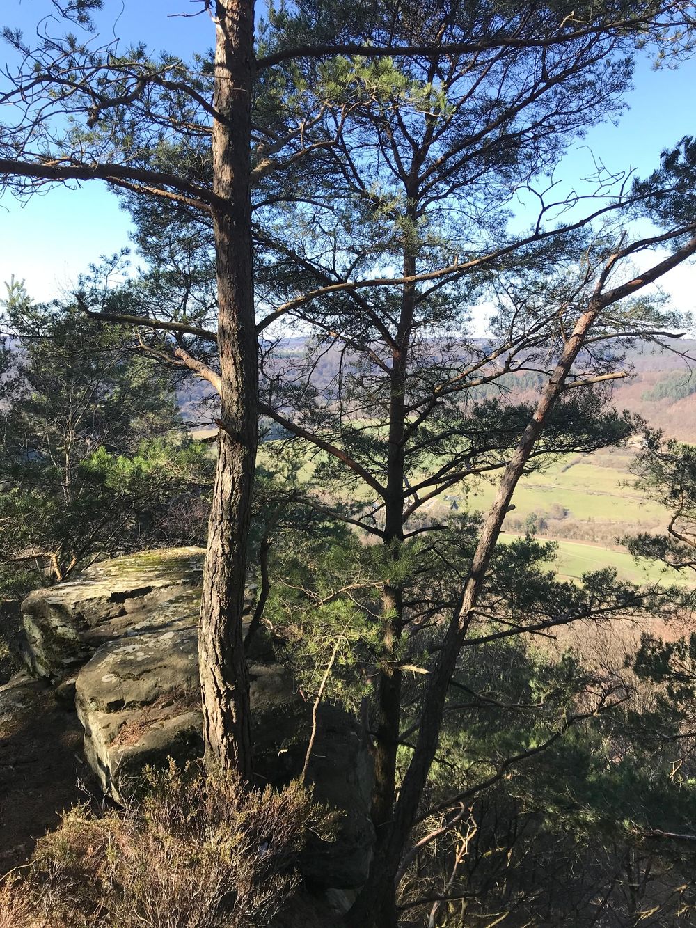
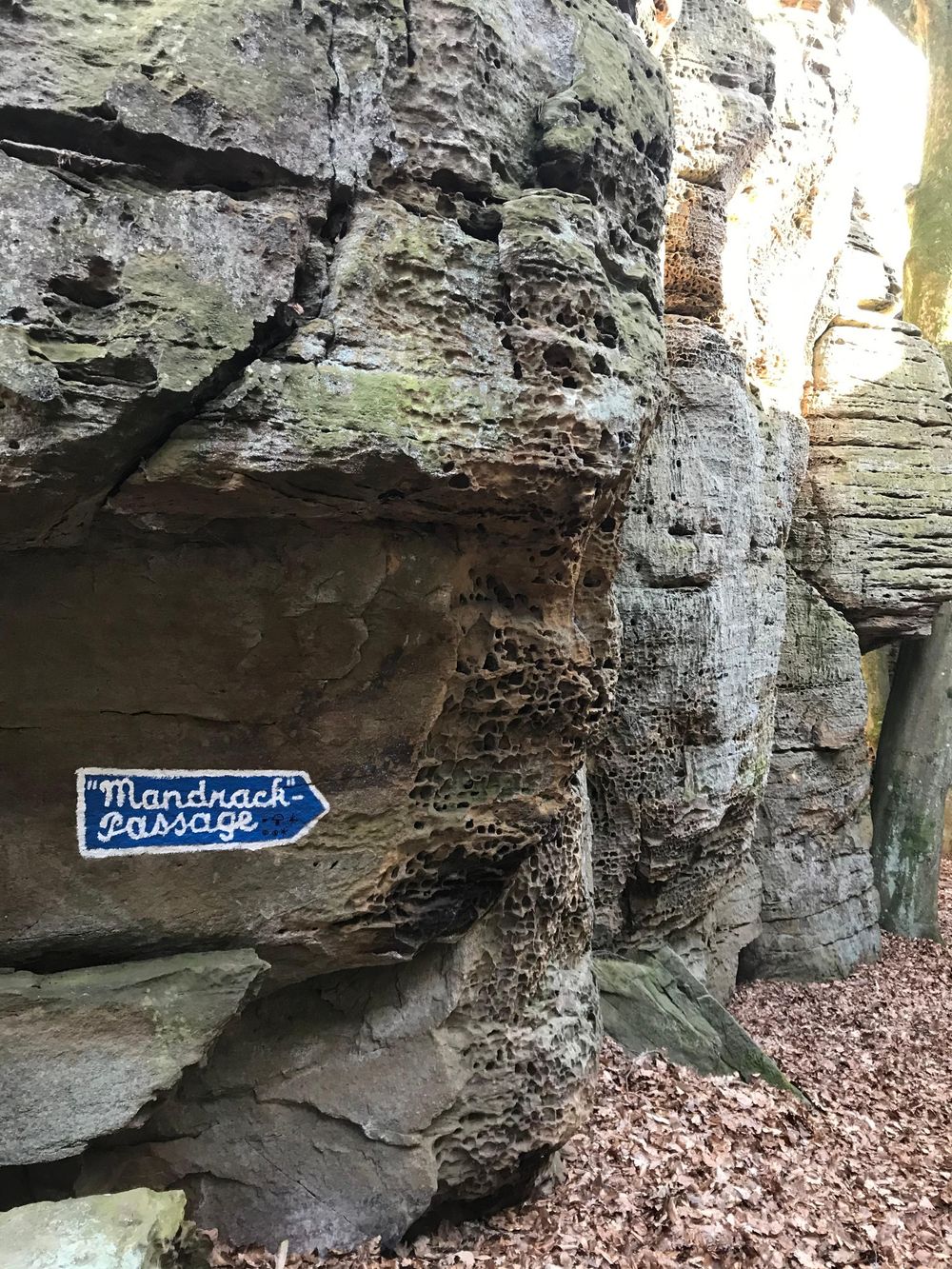
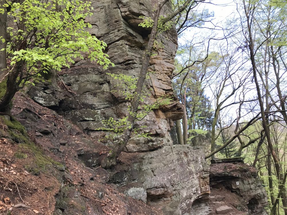
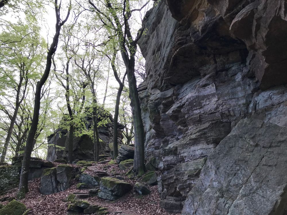
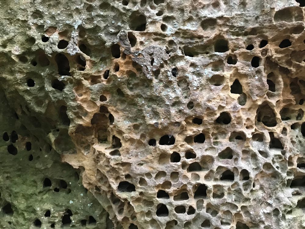
Surrounded by a beautiful pine forest, you can enjoy a view of the valley of the Sûre from a lookout point, which you can access via a ladder. The highlight of the tour is certainly the Mandrack Passage, a rock formation and narrow crevice, named after the German tv journalist Manuel Andrack. A little further on is the striking rock Kalekapp, then comes the Rammelee.
After reaching the forest called Fënnefter, you start your descent towards the Sûre.
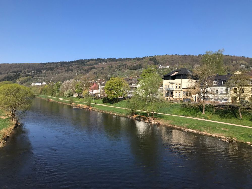
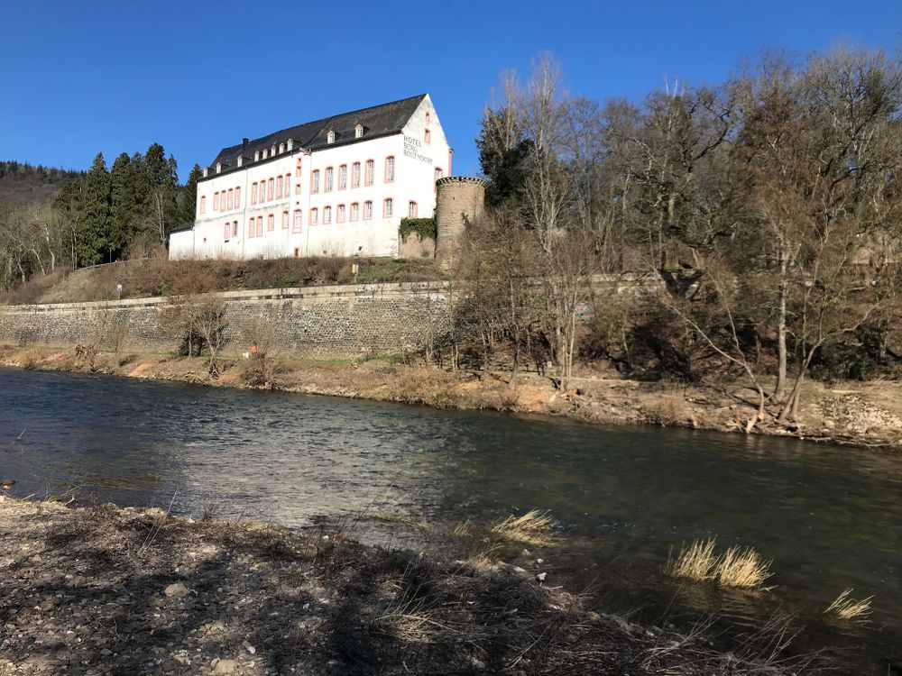
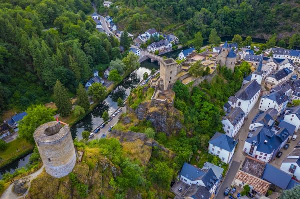
The last part leads along the Sûre and gives you a beautiful view of the Bollendorf Castle, on the German side. The tour is very varied and offers many geological highlights.
Signposting

Directions
The starting point of the path is opposite the gas station in Bollendorf-Pont. You first walk along the Sûre and then you cross the national road N10. You go uphill and reach the fascinating rocky landscape of Berdorf.
Surrounded by a beautiful pine forest, you can enjoy a view of the valley of the Sûre from a lookout point, which you can access via a ladder. The highlight of the tour is certainly the Mandrack Passage, a rock formation and narrow crevice, named after the German tv journalist Manuel Andrack. A little further on is the striking rock Kalekapp, then comes the Rammelee.
After reaching the forest called Fënnefter, you start your descent towards the Sûre.
The last part leads along the Sûre and gives you a beautiful view of the Bollendorf Castle, on the German side. The tour is very varied and offers many geological highlights.
Equipment
Sturdy shoes
Journey
Nearest bus station is: Bollendorf-Pont
Parking:
A parking place is located directly at the starting point.


 This website uses technology and content from the Outdooractive Platform.