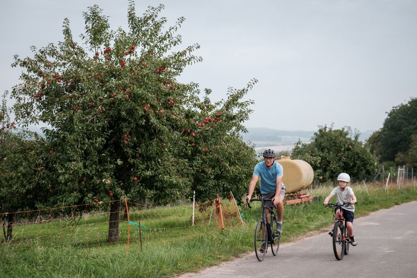
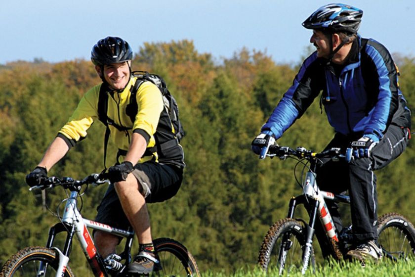
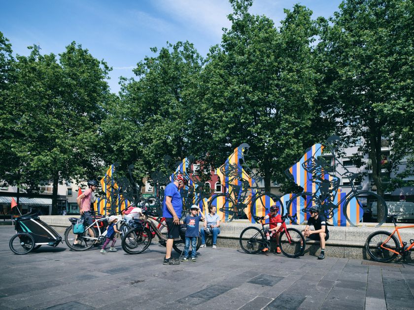
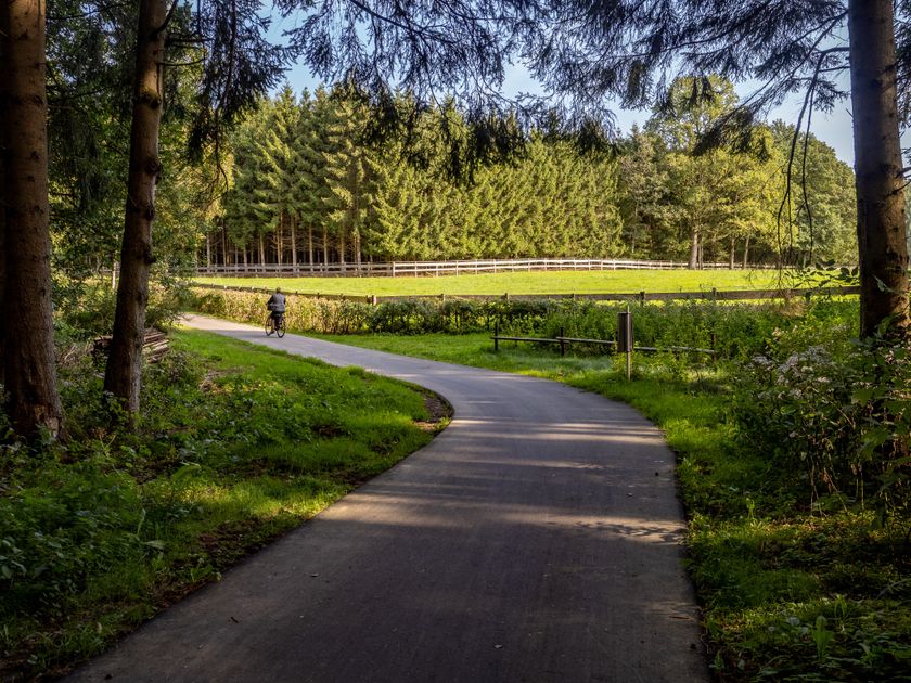
Luxembourg Cycling
Heat and drought: help us protect nature
During periods of high temperatures and prolonged dry weather, the risk of vegetation and forest fires increases significantly. By following a few simple precautionary measures, everyone can help protect our natural landscapes and forests.
Read the recommendations issued by the Luxembourg authorities to help prevent vegetation and forest fires.
Biking map
pdf | 8.63 MBDownload - Biking map | pdf | 8.63 MBThe foldable biking map includes a geographic orientation of the country’s cycle paths as well as useful information about the activity. It provides an overview of the main cycling options in Luxembourg, with guidance on where to find more specific information. One map in four languages (DE, FR, EN, NL).

131 results
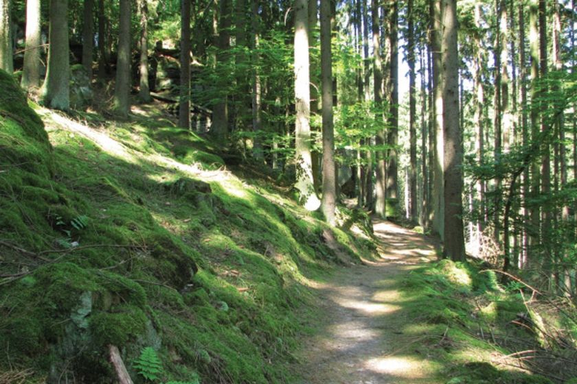
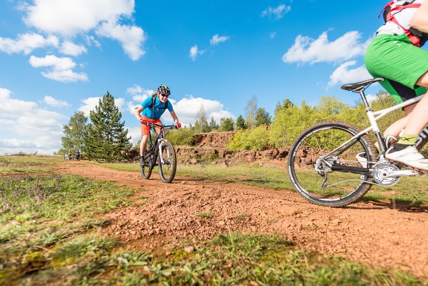
©Visit Luxembourg MountainbikeScenicMountain bike route Bettendorf - Reisdorf
Distance: 21,71 kmFind out more
Duration: 3:00 h
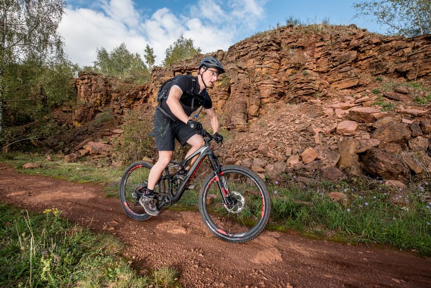
Difficulty: medium©Pulsa Pictures, ORT Sud MountainbikeRedRock MTB Trail - "Lalléngerbierg - Gaalgebierg"
Distance: 33,99 kmFind out more
Duration: 3:20 h
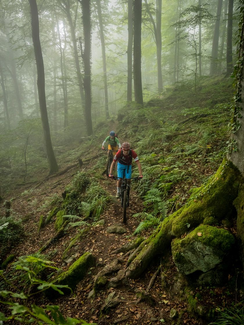
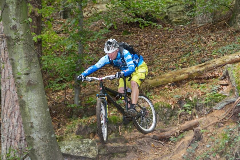
Difficulty: medium©Patrick Kunkel, Unknown MountainbikeMountain bike trail Berdorf - Beaufort
Distance: 39,38 kmFind out more
Duration: 5:30 h
Difficulty: difficult©V. G., Visit Luxembourg Grenz West Tour
Distance: 41,27 kmFind out more
Duration: 3:10 h
Difficulty: medium©Visit Luxembourg Cycling ToursScenicVelo Pomarium
Distance: 39,76 kmFind out more
Duration: 3:30 h
Difficulty: difficult©Visit Luxembourg MountainbikeScenicMountain bike route Bech
Distance: 13,35 kmFind out more
Duration: 2:30 h
Difficulty: easy©Emile Hengen, ORT SUD Kids & Family(L) Family Tour am Süden - 18.07-16.08 - Vëlosummer 2026
Distance: 14,64 kmFind out more
Duration: 1:00 h
Difficulty: easy©Visit Luxembourg ScenicBicycle Route of the North: Troisvierges-Huldange (PC 21)
Distance: 8,46 kmFind out more
Duration: 2:00 h
Difficulty: easy©Visit Luxembourg MountainbikeMTB trail Beckerich "Tunnel"
Distance: 4,57 kmFind out more
Duration: 0:40 h
Difficulty: easy©Pulsa Pictures, ORT Sud MountainbikeRedRock MTB Trail - "Haard Red"
Distance: 24,67 kmFind out more
Duration: 2:55 h
Difficulty: medium
Looking for bike rentals or service stations ?
49 results