Description
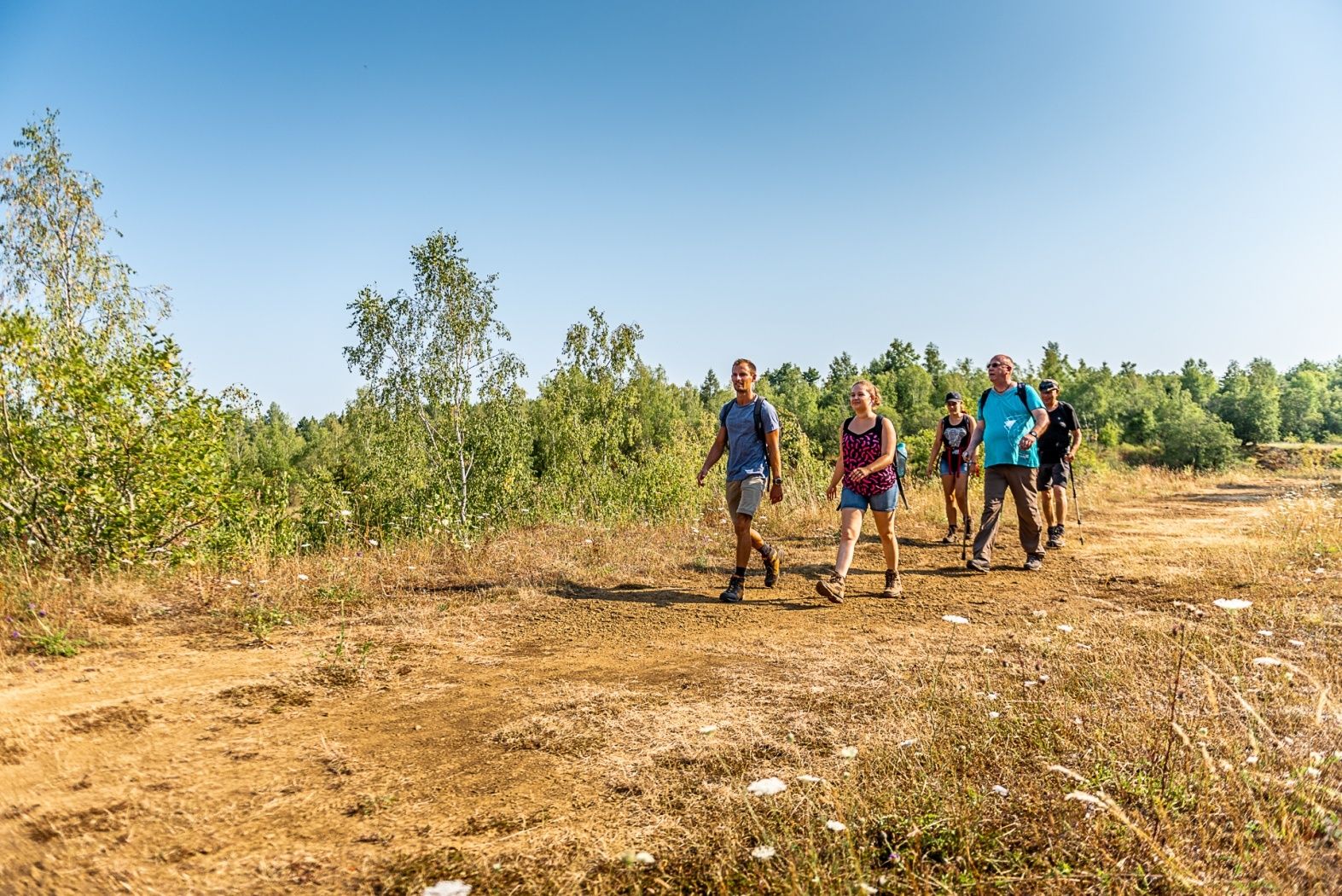
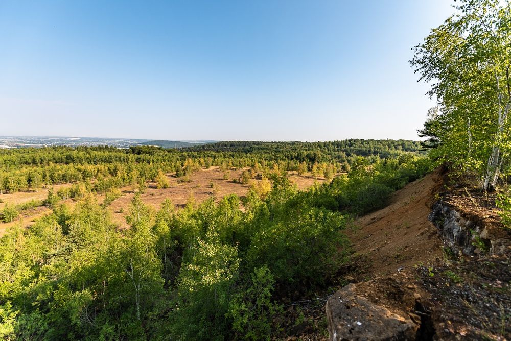
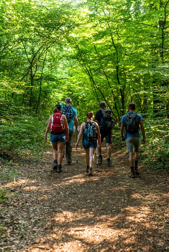
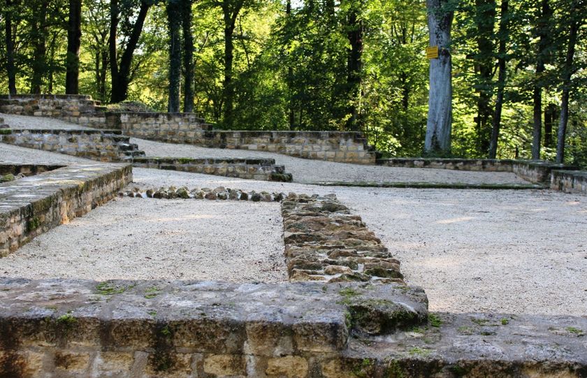
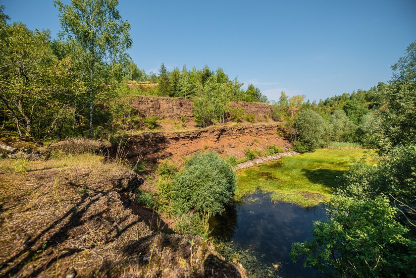
The "Prënzebierg - Giele Botter" discovery trail passes through a former open-cast mine in the "Land of Red Earth". At the time of ore extraction, the site was devoid of vegetation, and red dominated the landscape. Following the cessation of mining and the creation of the nature reserve, nature and vegetation regained their rightful place and new habitats developed. Today, the site is characterized by its green vegetation and a multitude of biotopes at different stages of development. Let's walk along the old track of the “Buggiën”, discovering the same landscape from two different angles: imagine yourself in the days of iron mining, which left its mark on the landscape, and take a close look at the different stages in the evolution of the vegetation, observe the flora and fauna - as diverse as they are rare - of today's nature reserve.
© Administration Nature et Forêt – Translation Visit Minett
Signposting
Directions
Please follow the signs with the two white arrows in the green rectangle
For your safety
The path through the nature reserve can lead on uneven ground. Therefore, think of sturdy shoes and weatherproof clothing.
Don't step too close to the border of the cliffs, rocks may detach beneath your feet at any time!
Equipment
Please bring enough food and drinking water with you.
Journey
Pétange train station is a ten-minute walk away
Parking:
The starting point is at a free public car park


 This website uses technology and content from the Outdooractive Platform.