Circular routes Visit Luxembourg
Description
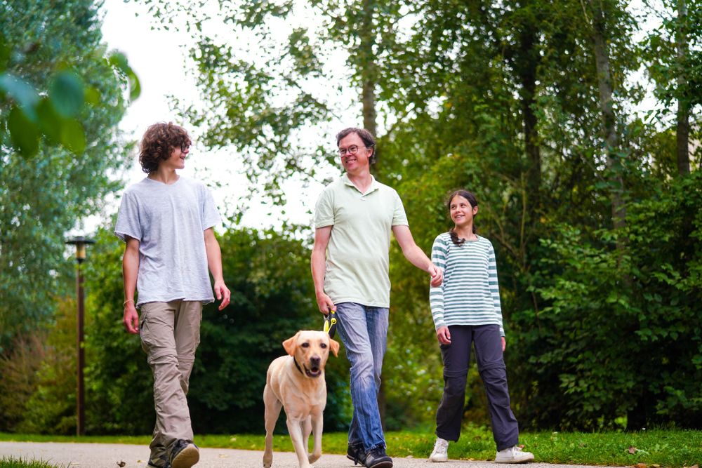
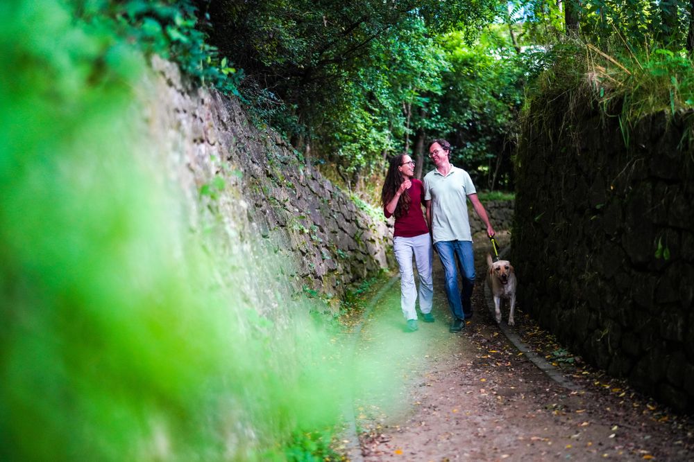
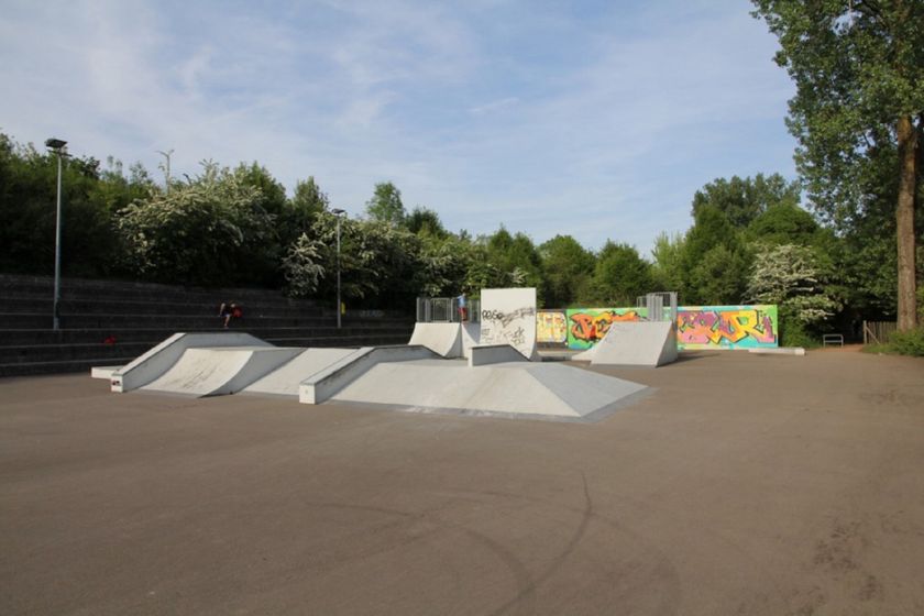
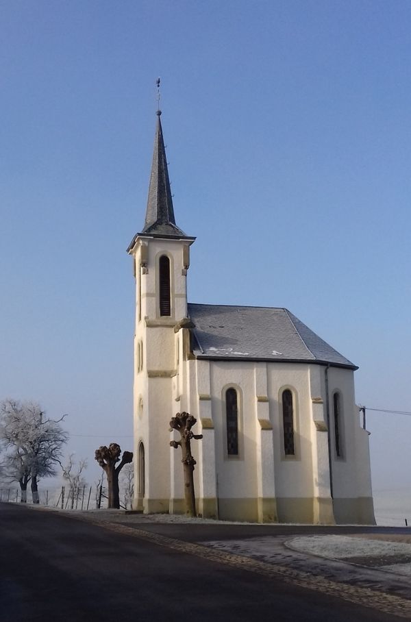
Hike around the former mining town Pétange on the national Auto-pédestre trail Pétange
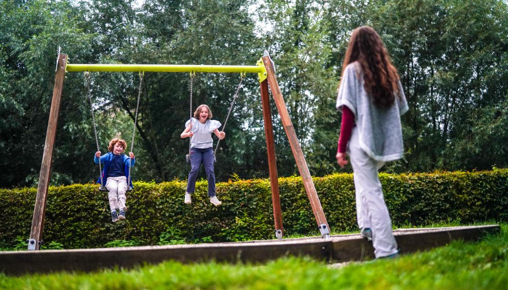
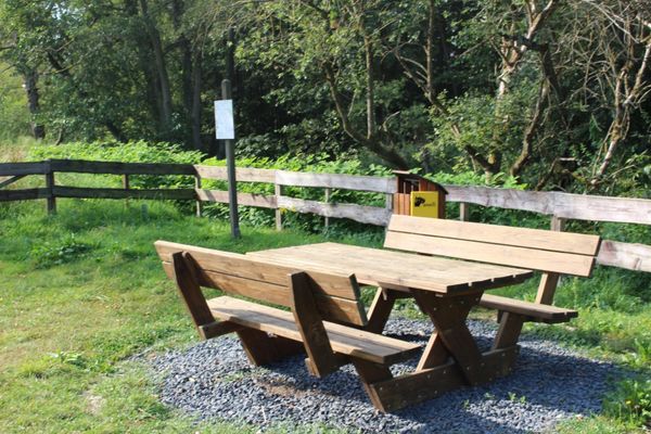
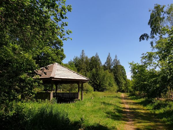
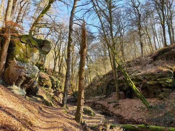
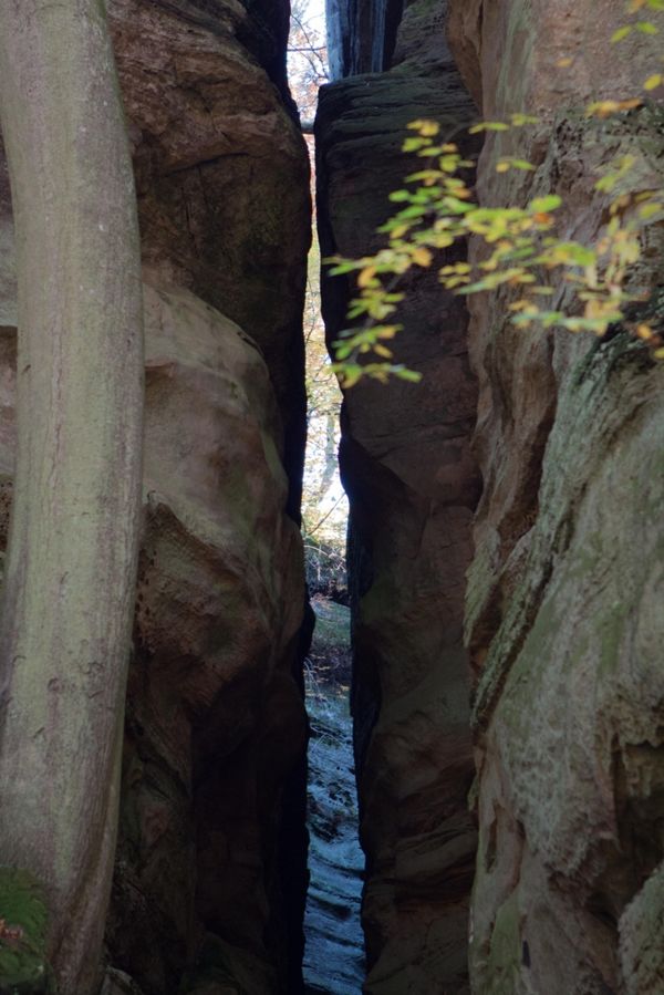
At the beginning of the Auto-Pédestre, the hustle and bustle of the city can still be heard until you get out into the quiet woods. Nevertheless, the path already has a lot to offer here: you walk along the "Kuer" stream through the city park and past fishponds, which invite you to take a short break. Then it goes into the surrounding forests of Pétange. The path runs close to the border with Belgium, which is why you keep coming across boundary stones.
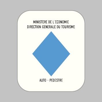
The path is marked in both directions, follow the blue lozenge on a white background.
Signposting
Directions
Please follow the signposts with a blue arrow on white background
For your safety
Please remember to wear sturdy shoes and clothing suitable for the weather.
Equipment
Please remember to bring enough food and drinking water for the trip
Journey
Public transport: Petange train station is 5 minutes on foot from the starting point
Getting there: Take the A13 to the Pétange exit and follow the road to the city center
Parking: Public parking available at Pétange train station
Getting there: Take the A13 to the Pétange exit and follow the road to the city center
Parking: Public parking available at Pétange train station


 This website uses technology and content from the Outdooractive Platform.