Circular routes Visit Luxembourg
Description
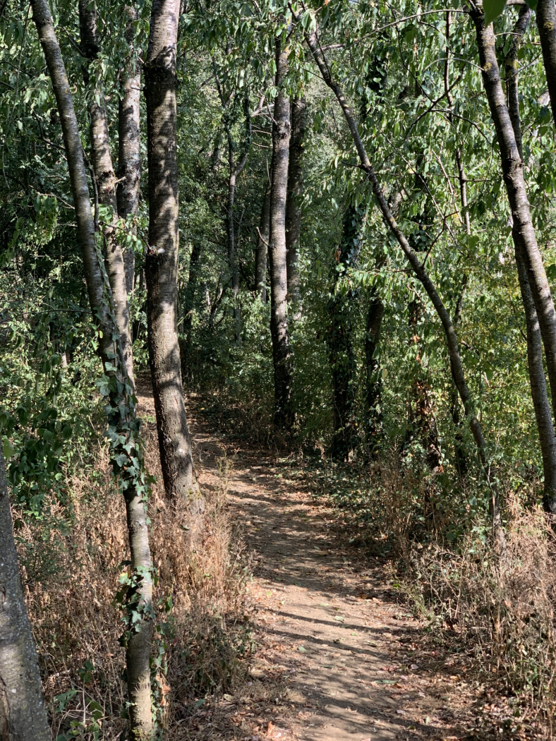
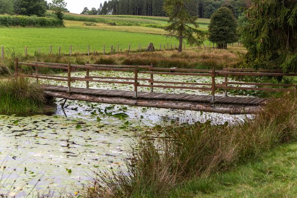
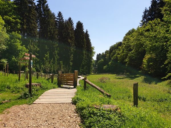
Hike accross and along the city of Bascharage on this circular trail.
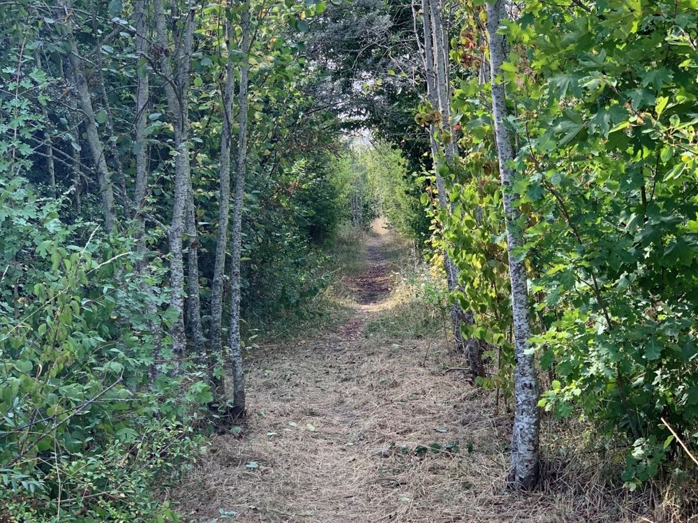
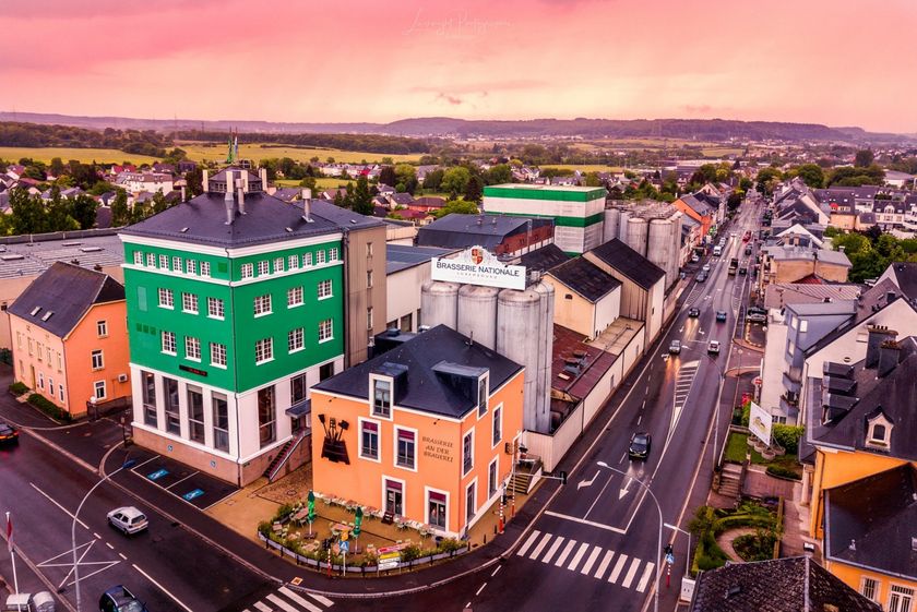
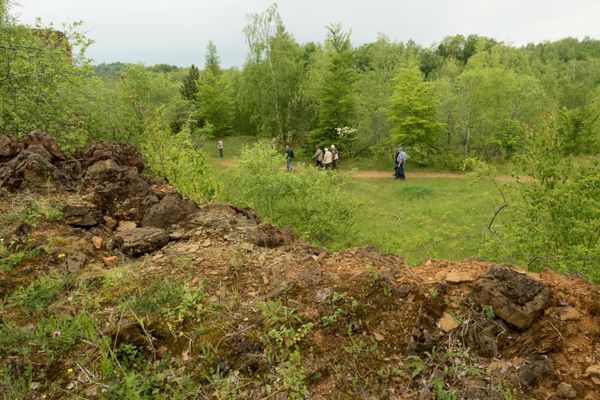
The Auto-Pédestre Bascharage starts in the middle of the village and leads you away from the hustle and bustle. What you wouldn't expect here: with a view of the industrial zone, you walk between a herd of sheeps! The trail then continues into the woods around Bascharage and back to the starting point. It is a pleasant walk, but its length makes it challenging.
Signposting
Directions
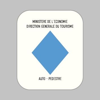
Follow the signposting with the blue diamond on white background, the way is signposted in both directions.
For your safety
Please stay on the designated hiking trails and do not hike off the beaten track.
Equipment
Remember to bring enough food and drinking water for the trip
Journey
Public transport: Bus: Bascharage, Treff/Op Acker.
Parking: Public parking available on site.
Parking: Public parking available on site.

 This website uses technology and content from the Outdooractive Platform.