Description
A cross-border hiking trail leads through the heart of the steel industry in southern Luxembourg and across the border into France. Discover the common history of both regions.
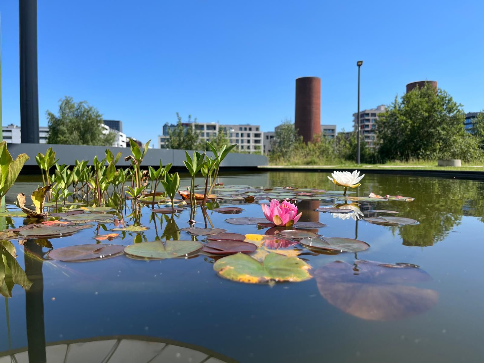
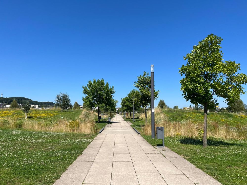
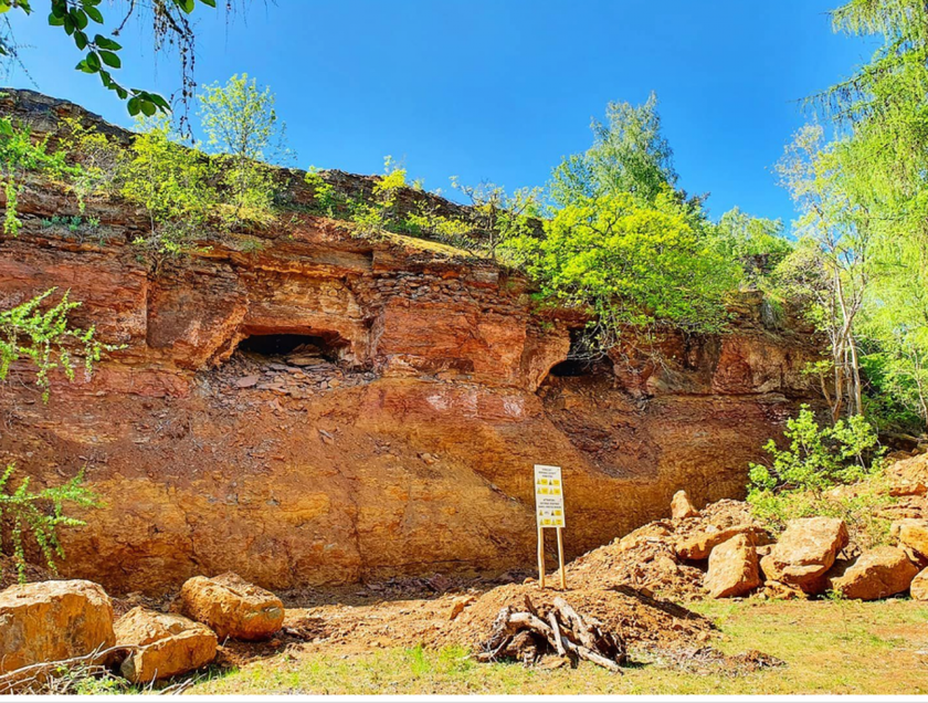
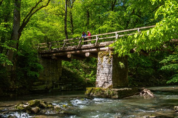
In the Minett region in southern Luxembourg, the wealth of a small country was founded as for decades, the ore exploitation put the grand duchy on the map of heavy industry heavyweights. This was until after the steel crisis in the 1990s, when the mining was stopped and nature was able to reclaim the landscape - with the emergence of breathtaking nature reserves in tow. A similar development took place on the other side of the border in France. Both regions therefore have extensive natural areas that are excellent for hiking.
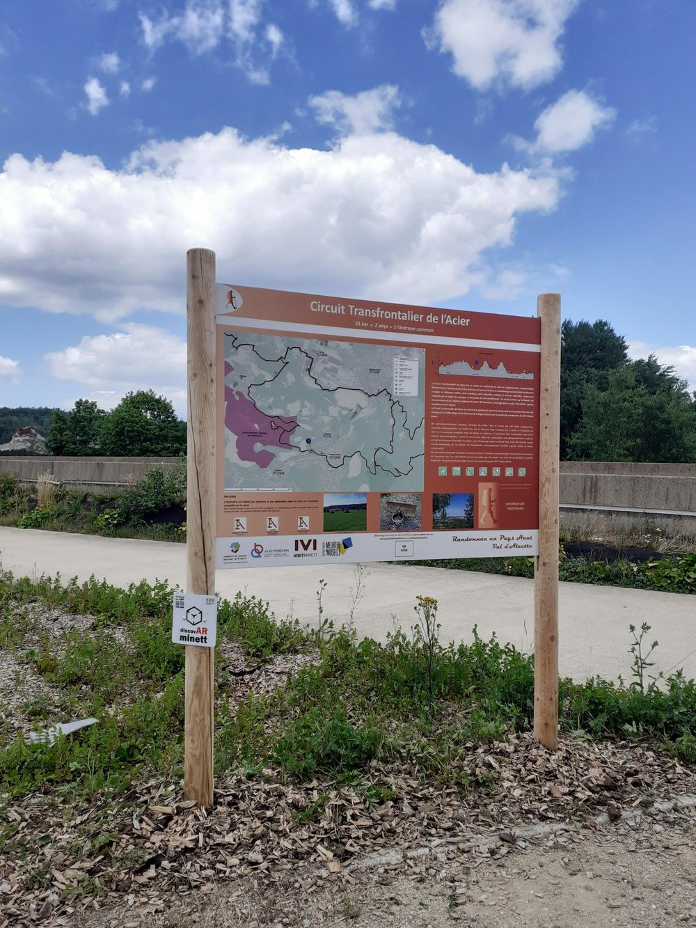
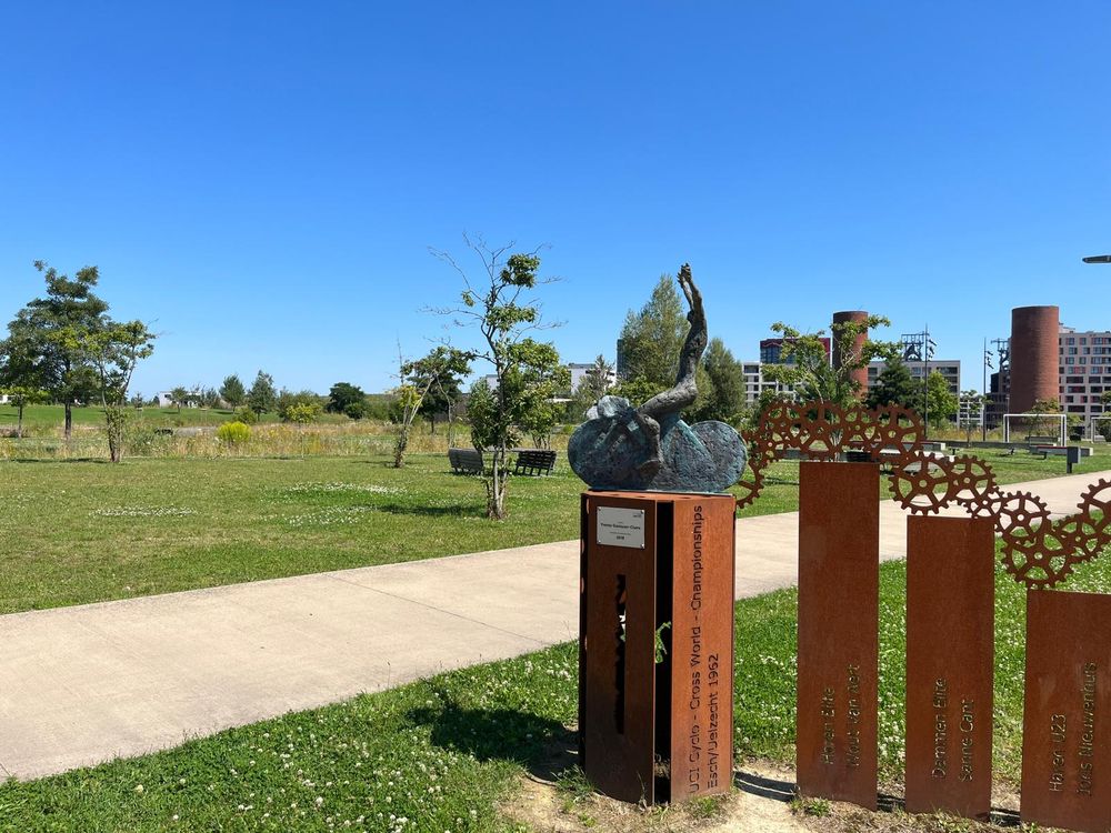
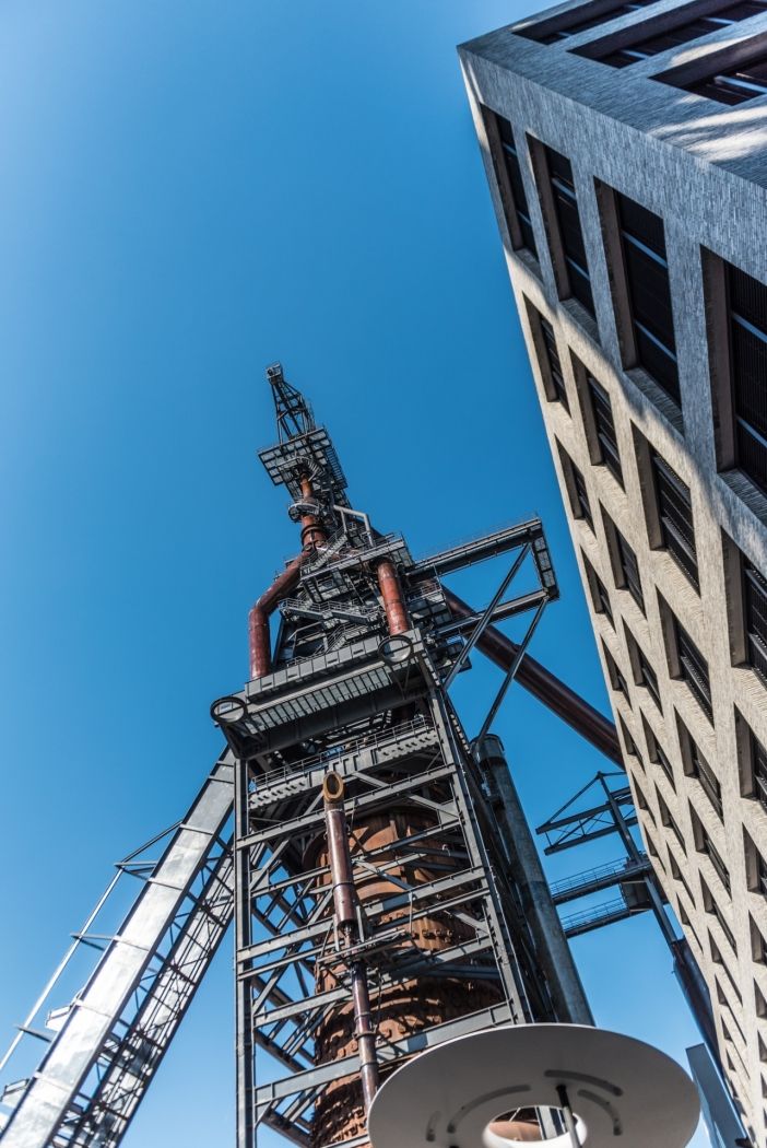
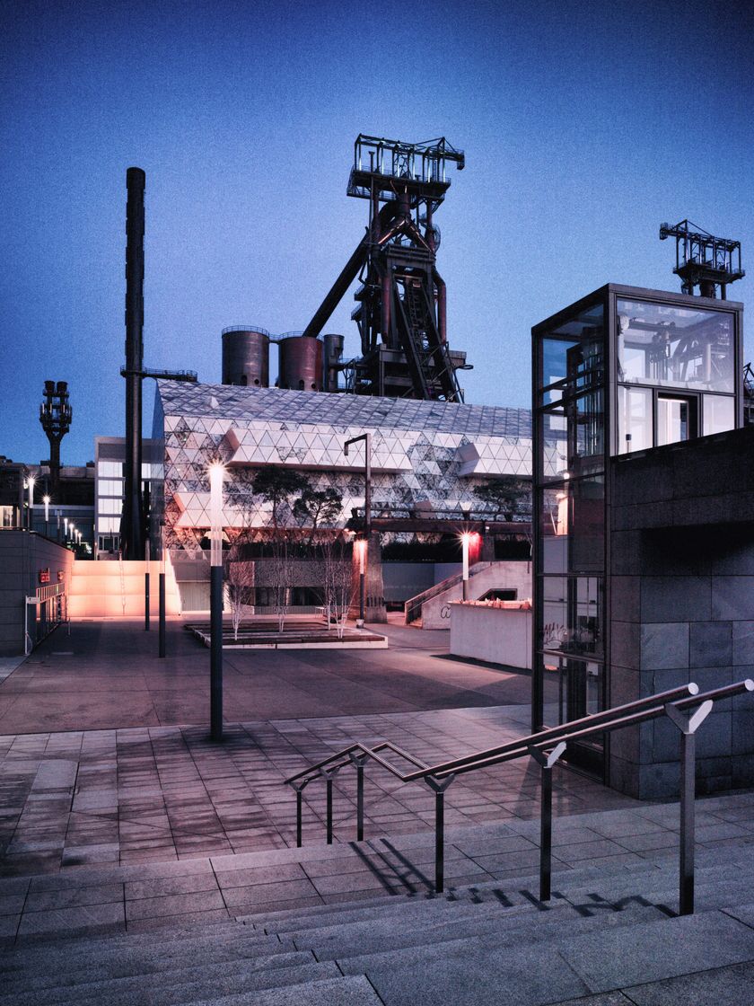
Discover how closely the history of both regions is connected on this 22-kilometer circular hiking trail. This cross-border trail was designed in collaboration with the "Communauté de communes du Pays Haut Val d'Alzette" (CCPHVA) and leads in a loop through the former mining areas of both countries. On the Luxembourg side, the path leads between Belvaux to Esch-sur-Alzette and through the "Ellergronn" nature reserve over part of the route of the regional hiking trail "Minett Trail". On the way, the path also leads past the Belval district with its impressive blast furnaces. Here, at a height of almost 40 meters, you can catch a glimpse of a large part of the region. On this side of the border, you will therefore discover the history of the transport chain and the processing of the steel.
On the other side of the border, it is all about the mining of the precious ore itself; the path leads through Audun-le-Tiche, where you can visit an archeology museum, through an extensive forest area in the former mining area and on to the small border village of Rédange. Here you can also discover how closely the two regions are connected.
Signposting

Directions
The "Circuit Transfrontalier de l'Acier" starts at one of three possible starting points. The entry alternatives of the path are:
- Esch-sur-Alzette train station: Bd. John Fitzgerald Kennedy, Esch-sur-Alzette
- Belval University train station: Route de Belval, Esch-sur-Alzette
- Bureaux CCPHVA: 390 rue du Laboratoire, Audun-le-Tiche
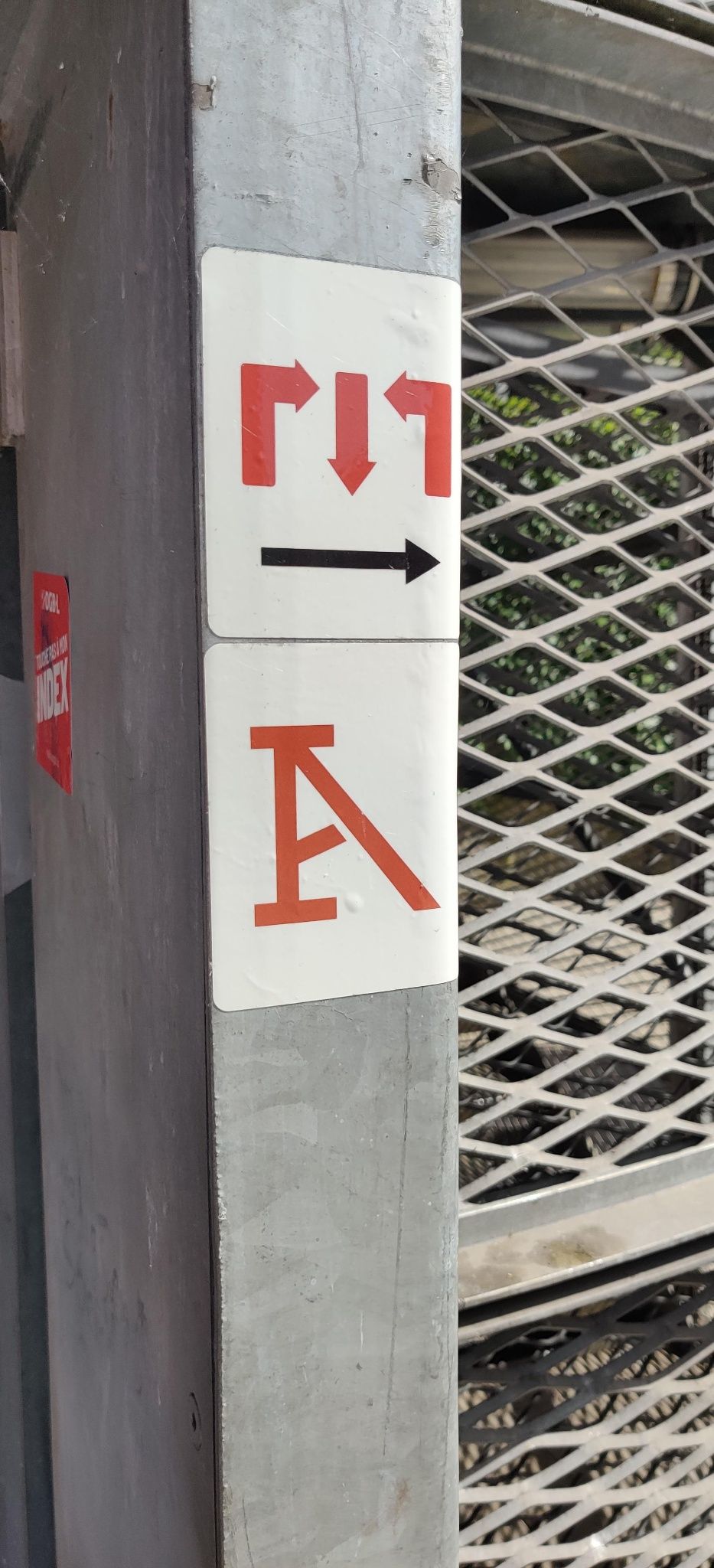
On the luxembourgish side of the border, the starting locations will have an overview panel for the "Minett Trail" on site, on which the Circuit Transfrontalier de l'Acier is also signposted. From here, signposts lead in both directions across the path. These are marked "on sight" and can be recognized by small metal plates, painted signposts or stickers with a red "A" on a white background. Accross the border on the french side, another overview panel will describe the Circuit Transfrontalier in full detail.
For your safety
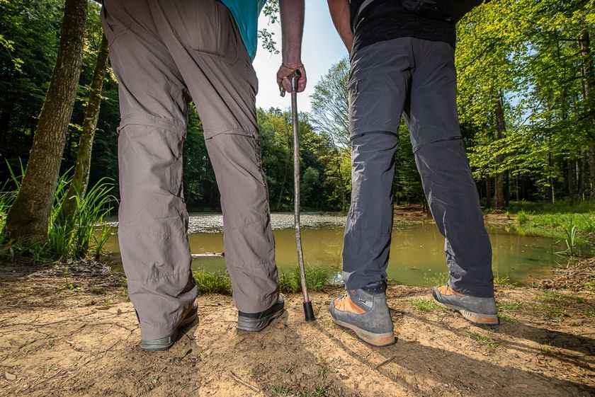
Please note that mountain bikers may meet you at times on the way and that the trail sometimes leads over street crossings in town. Therefore, please follow the given signs, do not deviate from the path and pay attention to your surroundings.
Equipment
Please remember to wear sturdy shoes and appropriate clothing in case of inclement weather.
Journey
Several points along the way (Esch-sur-Alzette or Esch-Belval train station, or Audun-le-Tiche) are in the immediate vicinity of a train station. From here there are direct trains to Luxembourg City.
Parking:
Public parking is available on site at the starting points.


 This website uses technology and content from the Outdooractive Platform.