Distance
24,95 km
Duration
7:07 h
Difficulty
medium
  • Condition
Highest point
357 Hm
Lowest point
217 Hm
Aggregated Ascent
288 Hm
Aggregated Descent
367 Hm
Distance trails Visit Luxembourg

Description

National hiking trail "Valley of the river Mamer"

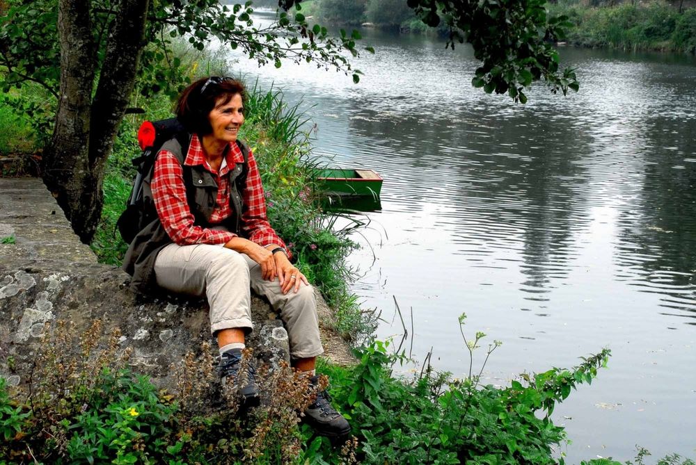
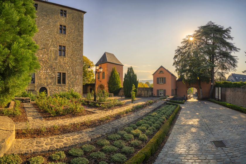
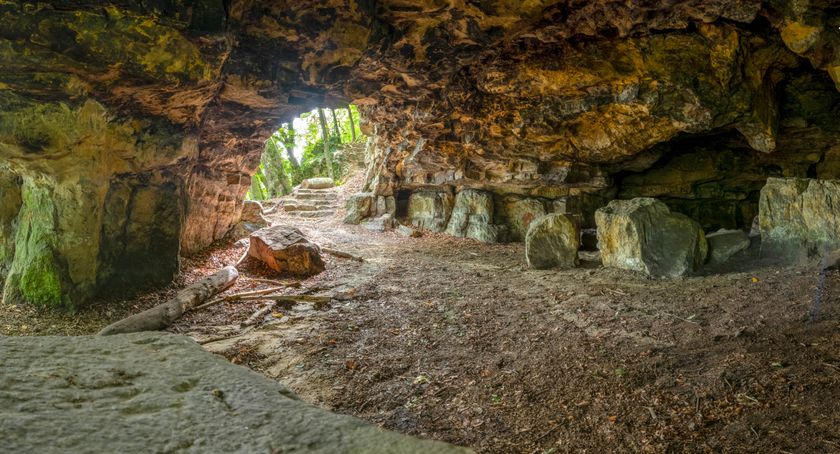
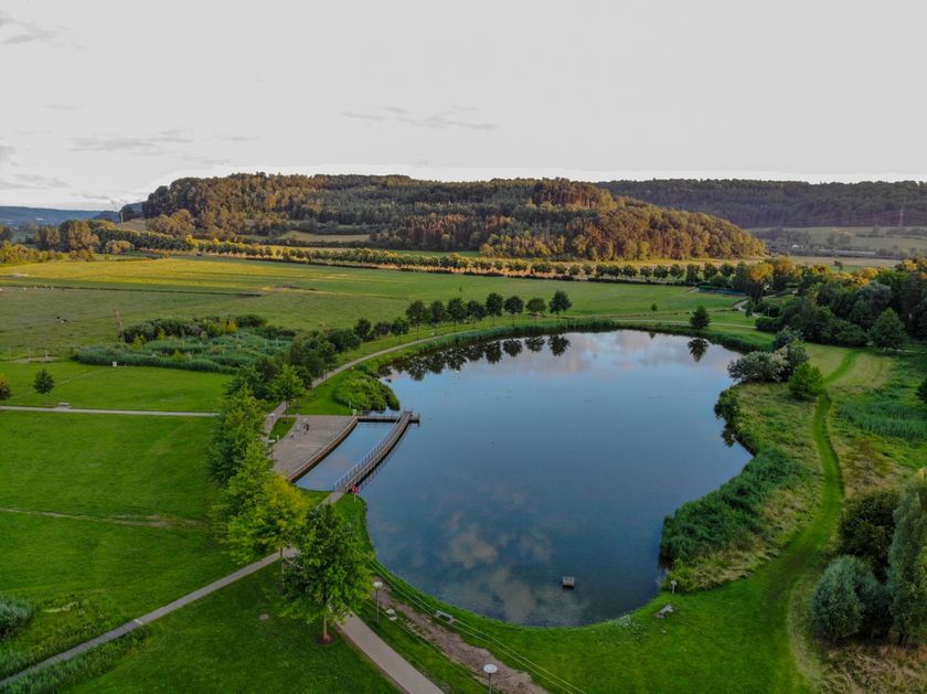
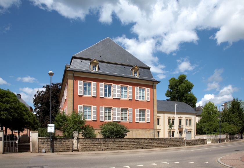
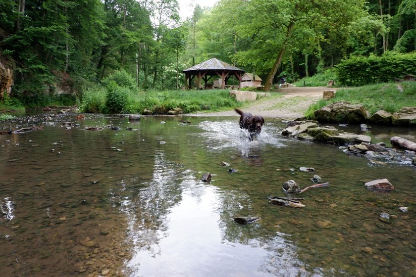
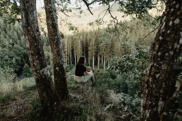
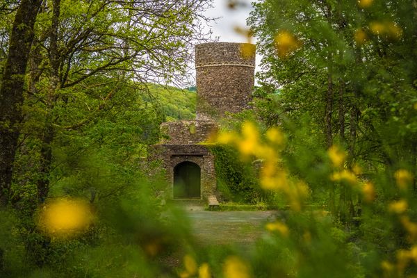
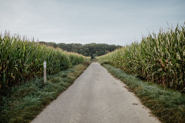
With the idyllic valley of the River Mamer as its backdrop, this footpath will lead you to a wide variety of places, from the remains of the Roman spa in  Mamer to the Tour St Michel in Mersch, via several old mills and the impressive tower of Schoenfels Castle. Well away from busy roads, you can savour the magnificent countryside along the River Mamer as far as its confluence with the River Alzette. You will be amazed by the astonishing rock formations when you explore the caves you will find alongside your route.

Please make sure to enable your Cookies in case you don't see this content.

Similar hiking tours

© Guy Krier , Visit Luxembourg
Circular routes
Auto-pédestre trail Beckerich
Distance: 8,60 km
Duration: 2:35 h
Difficulty: medium
Find out more
© © Wanderbüro Saar-Hunsrück, Klaus-Peter Kappest, SaarSchleifenLand
Dream loops
"Traumschleife" Schengen without borders
Distance: 8,54 km
Duration: 3:30 h
Difficulty: medium
Find out more
© Visit Luxembourg
Distance trails
21 Station to station Bettembourg - Dudelange-Burange
Distance: 14,66 km
Duration: 3:45 h
Difficulty: medium
Find out more
© CFL, Visit Luxembourg
Distance trails
22 Station to Station Dudelange - Burange - Rumelange
Distance: 10,22 km
Duration: 3:05 h
Difficulty: medium
Find out more
© ORT Sud
Distance trails
23 Station to station Rumelange - Kayl
Distance: 12,57 km
Duration: 3:25 h
Difficulty: medium
Find out more
© Visit Luxembourg
Distance trails
25 Station to station Kayl - Schifflange - Esch-sur-Alzette
Distance: 21,71 km
Duration: 6:05 h
Difficulty: medium
Find out more
© Pulsa Pictures, ORT SUD
Distance trails
26 Station to station Esch-sur-Alzette - Belvaux-Soleuvre
Distance: 9,05 km
Duration: 2:30 h
Difficulty: medium
Find out more
© Visit Luxembourg
Distance trails
27 Station to station Belvaux-Soleuvre-Oberkorn
Distance: 5,20 km
Duration: 1:25 h
Difficulty: medium
Find out more
© ORT Sud
Distance trails
28 Station to station Oberkorn - Niederkorn
Distance: 8,69 km
Duration: 2:25 h
Difficulty: medium
Find out more