Mountainbike V. G.
Description
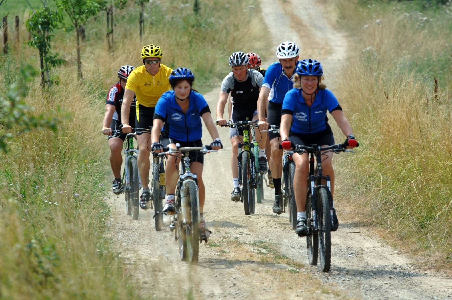
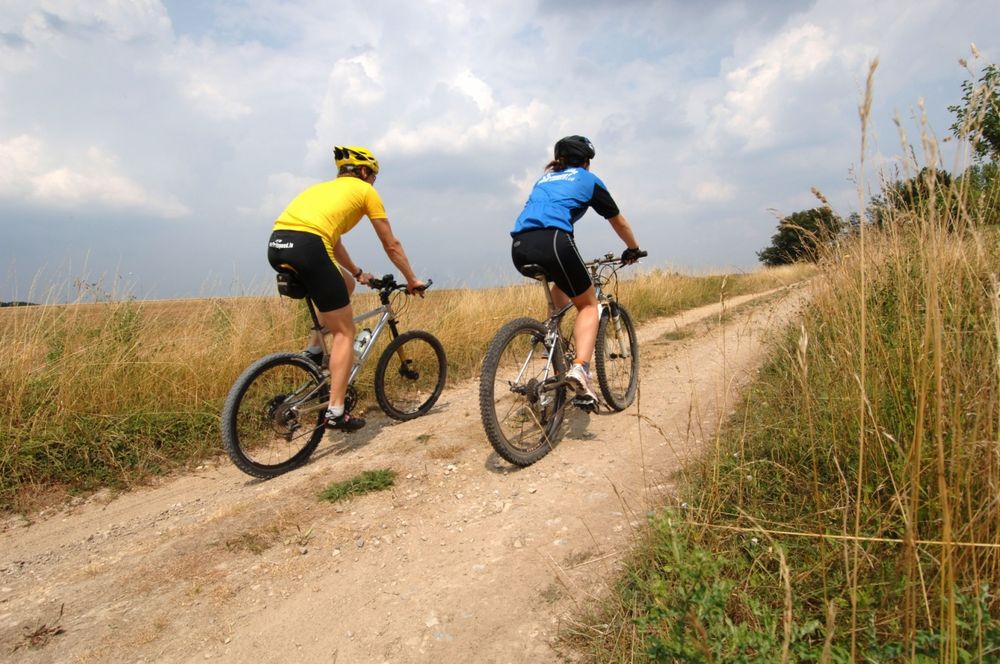
MTB trail Préizerdaul
MTB trail Préizerdaul
Start: Cultural Center "Op der Fabrik" - Préizerdaul
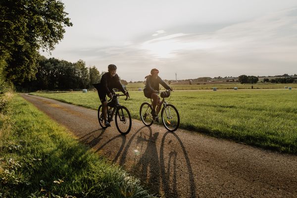
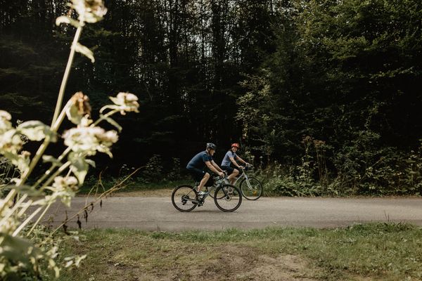
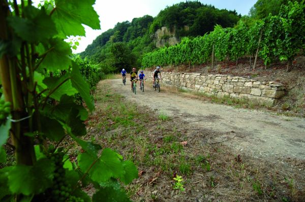
Over 33 km, this trail runs close to traditional villages in the north-west of Luxembourg. This area is characterized by its situation at the intersection of two different geological regions, namely the “Gutland” and the Luxembourg Ardennes. Near Neunhausen the trail bypasses the border of the Upper Sûre Lake region. On your way, you will pass some exceptional viewpoints, especially around the town of Wahl. This trail is demanding and diversified.

 This website uses technology and content from the Outdooractive Platform.