Mountainbike V. G.
Beschrijving
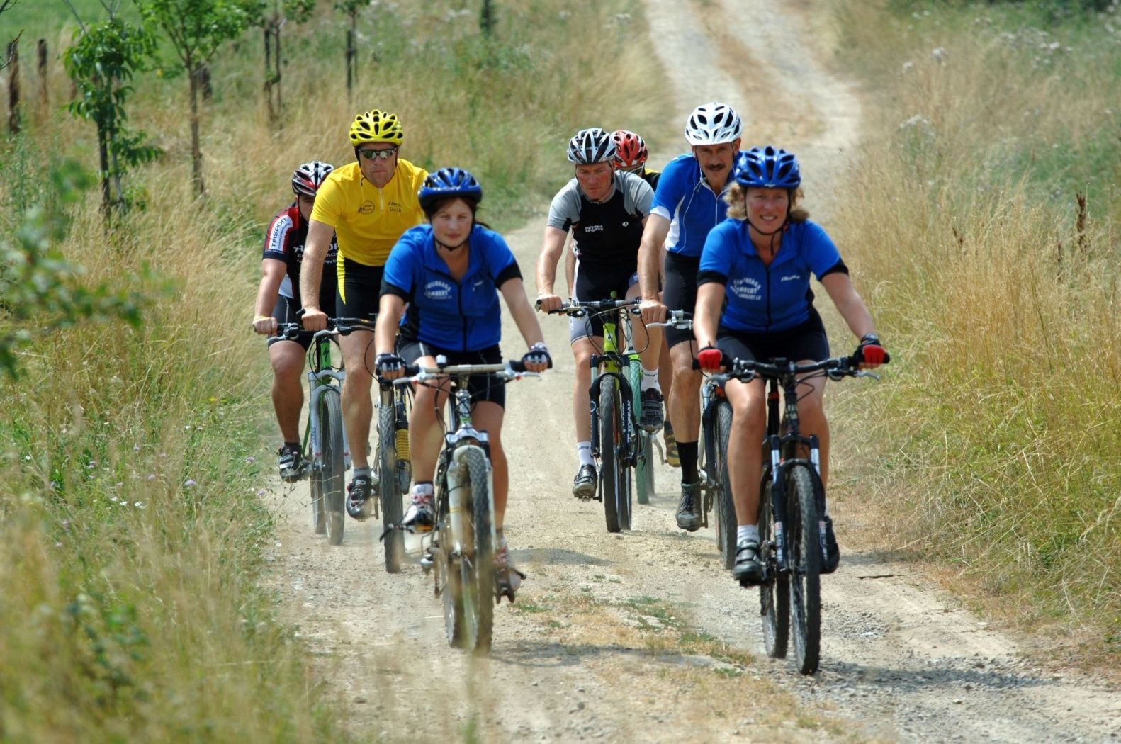
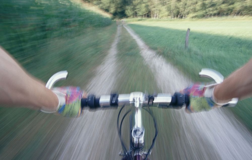
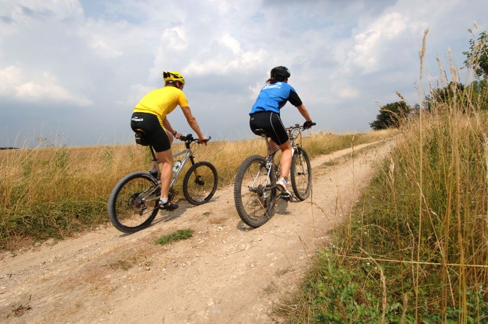
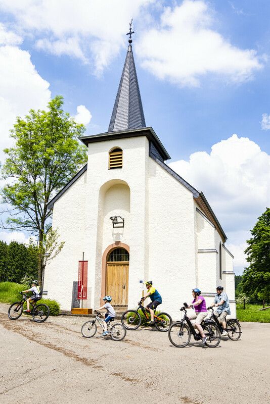
MTB route Préizerdaul
MTB route Préizerdaul
Vertrekpunt: Cultural Center "Op der Fabrik" - Préizerdaul
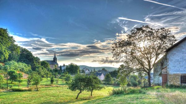
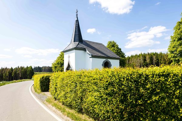
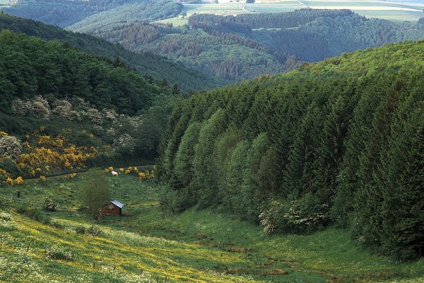
Dit 33 km lang parcours loopt langs een aantal traditionele dorpen in het noord-westen van het land. Deze regio wordt gekenmerkt door zijn ligging op het kruispunt van twee verschillende geologische gebieden : regio van de “goede gronden” (Gutland) en de Luxemburgse Ardennen. Op de hoogten van Neunhausen, loopt het parcours langs het meer van de Boven-Sure. Onderweg passeer je verschillende fantastische uitzichten, met name op de hoogte van Wahl. Het parcours is veeleisend en erg afwisselend.

 Deze website maakt gebruik van technologie en inhoud van het Outdooractive Platform.