Luxembourg City Éislek Müllerthal Mosel Minett Guttland Germany France

Local hiking trail WW 3 - Weiswampach Lake

Starting point
Weiswampach - Lake
Destination
Weiswampach - Lake
Distance
11,02 km
Duration
2:55 h
Difficulty
medium
  • Condition
  • Technique
Highest point
517 Hm
Lowest point
462 Hm
Circular routes E. H.

Description
Scenic

From the leisurely afternoon round to the challenging hiking tour, everything is included in the Local Hiking Trails.

The local hiking trails are marked with the abbreviations of the municipality where they start. The larger the number that the marker symbol contains, the longer the circular hiking trail. See for yourself the variety of local hiking trails and the different features in the Éislek region.

for tour routing
local-hiking-trail-ww-3 gpx

Current conditions

Source: Visit Éislek, Published: 2022-05-16
Deviation of the hiking trail: WW 3
Notice:

Due to works on the new leisure resort at the lake, a section of the path is closed! Please use the deviation marked on site.

Attention! This deviation will extend the route by +- 2 km.

Suggestions nearby

Local hiking trail WW 3 - Weiswampach Lake

  • Musée Rural Binsfeld
    free
    with theLuxembourgCard
    Rural Museum A Schiewesch
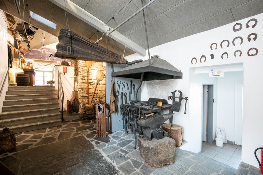
    Immerse yourself in the past in the lovingly designed museum "A Schiewesch", a converted farm from the 17th century, where over 50 thematic areas in 21 rooms make former rural life come alive.
    Find out more
  • Weiswampach Lake
    Weiswampach lakes
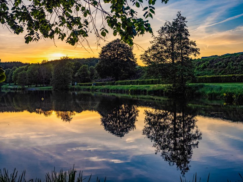
    The glistening lakes of Weiswampach! Enjoy swimming, windsurfing, and pedal boating in the heart of nature. Experience unforgettable moments of relaxation and water fun.
    Find out more

Similar hiking tours

Circular routes
Local hiking trail - B7
Distance: 11,57 km
Duration: 3:15 h
Difficulty: medium
Find out more
Thematic paths
Circular hiking trail through the Deweilskopp nature reserve
Distance: 8,50 km
Duration: 2:27 h
Difficulty: medium
Find out more
Circular routes
Auto-pédestre trail Hollenfels
Distance: 9,42 km
Duration: 2:35 h
Difficulty: medium
Find out more
Circular routes
Local hiking trail - C5
Distance: 5,26 km
Duration: 1:36 h
Difficulty: medium
Find out more
Dream loops
Traumschleife Schengen grenzenlos / sans frontières
Distance: 8,54 km
Duration: 3:30 h
Difficulty: medium
Find out more
Circular routes
Auto-pédestre trail Heisdorf
Distance: 7,94 km
Duration: 2:25 h
Difficulty: medium
Find out more
Circular routes
Auto-pédestre trail Bourglinster
Distance: 7,96 km
Duration: 2:15 h
Difficulty: medium
Find out more
Dream loops
Traumschleife Manternacher Fiels
Distance: 9,57 km
Duration: 3:30 h
Difficulty: medium
Find out more
Dream loops
Traumschleife Wein- und Naturpfad Palmberg
Distance: 9,03 km
Duration: 2:50 h
Difficulty: medium
Find out more
outdooractive This website uses technology and content from the Outdooractive Platform.