© Visit Éislek, Visit Éislek
Éislek Germany France

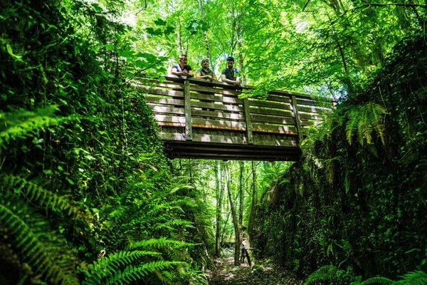
Local hiking trail WW 2 - Weiswampach

Starting point

Weiswampach

Destination

Weiswampach

Distance
6,51 km
Duration
1:45 h
Difficulty
medium
  • Condition
Highest point
511 Hm
Lowest point
395 Hm
Aggregated Ascent
110 Hm
Aggregated Descent
110 Hm
Circular routes Visit Luxembourg

Description

Scenic
From the leisurely afternoon round to the challenging hiking tour, everything is included in the Local Hiking Trails.

The local hiking trails are marked with the abbreviations of the municipality where they start. The larger the number that the marker symbol contains, the longer the circular hiking trail. See for yourself the variety of local hiking trails and the different features in the Éislek region.

Suggestions nearby

Local hiking trail WW 2 - Weiswampach

  • © Visit Éislek
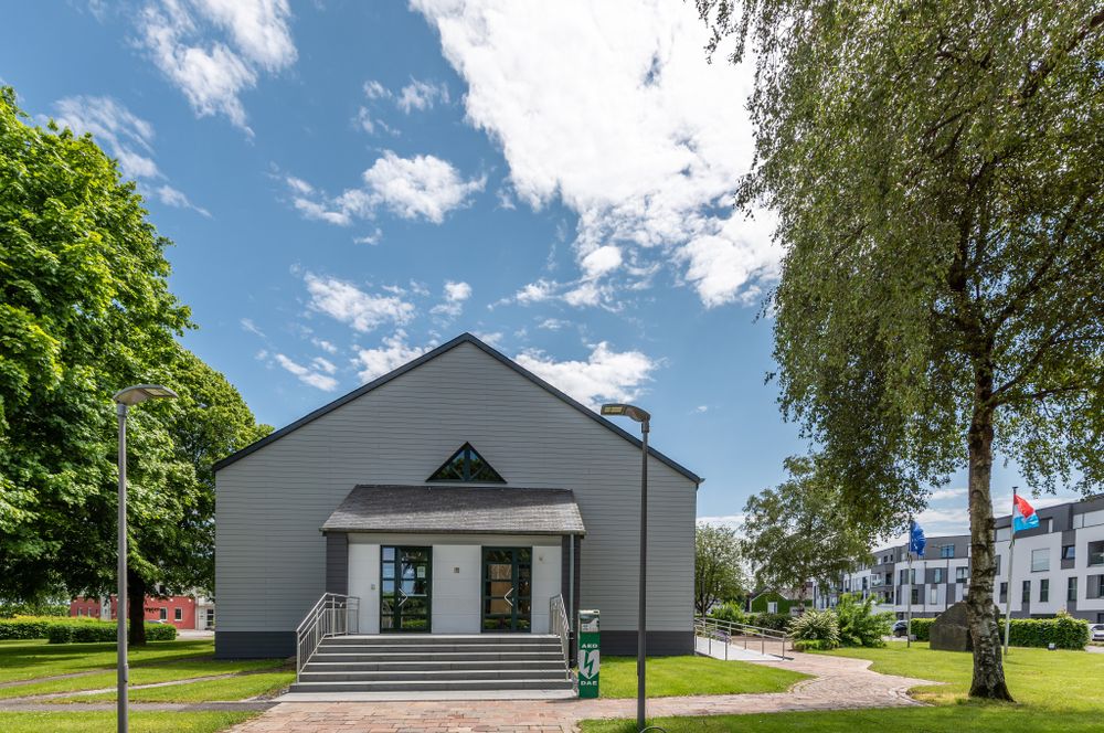
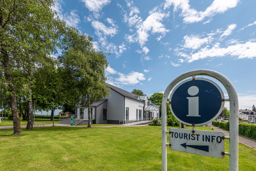
    Tourist Info Weiswampach
    Tourist Info Weiswampach
    Find out more
  • © Restaurant Chez Max
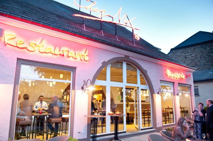
    Restaurant-Brasserie Chez Max
    Brasserie restaurant on two levels with seasonal cuisine, a varied menu and space for private or business events.
    Find out more

Similar hiking tours

© Visit Éislek, Visit Éislek
Circular routes
Local hiking trail RB 6 - Bilsdorf
Distance: 9,06 km
Duration: 2:35 h
Difficulty: medium
Find out more
© Visit Éislek, Visit Éislek
Circular routes
Local hiking trail TV 3 - Troisvierges
Distance: 8,14 km
Duration: 2:20 h
Difficulty: medium
Find out more
© Visit Luxembourg
Circular routes
Local hiking trail - N3
Distance: 2,88 km
Duration: 1:00 h
Difficulty: medium
Find out more
© Pancake! Photography, Visit Luxembourg
Circular routes
Local hiking trail Lintgen - Li1
Distance: 8,05 km
Duration: 2:20 h
Difficulty: medium
Find out more
© Pancake! Photographie, Visit Luxembourg
Thematic paths
Geo-Pad Haupeschbaach and Halerbaach
Distance: 4,94 km
Duration: 2:00 h
Difficulty: medium
Find out more
© Visit Luxembourg
Circular routes
Local hiking trail - C6
Distance: 5,88 km
Duration: 1:40 h
Difficulty: medium
Find out more
© CFL, Visit Luxembourg
Distance trails
32 Station to station Bascharage-Sanem - Dippach-Reckange
Distance: 10,14 km
Duration: 2:40 h
Difficulty: medium
Find out more
© Paul Hilbert, Visit Luxembourg
Circular routes
Auto-pédestre trail Machtum
Distance: 7,81 km
Duration: 2:10 h
Difficulty: medium
Find out more
© Visit Luxembourg
Circular routes
Local hiking trail - C1
Distance: 1,94 km
Duration: 0:35 h
Difficulty: medium
Find out more