© Visit Luxembourg
Müllerthal Germany France

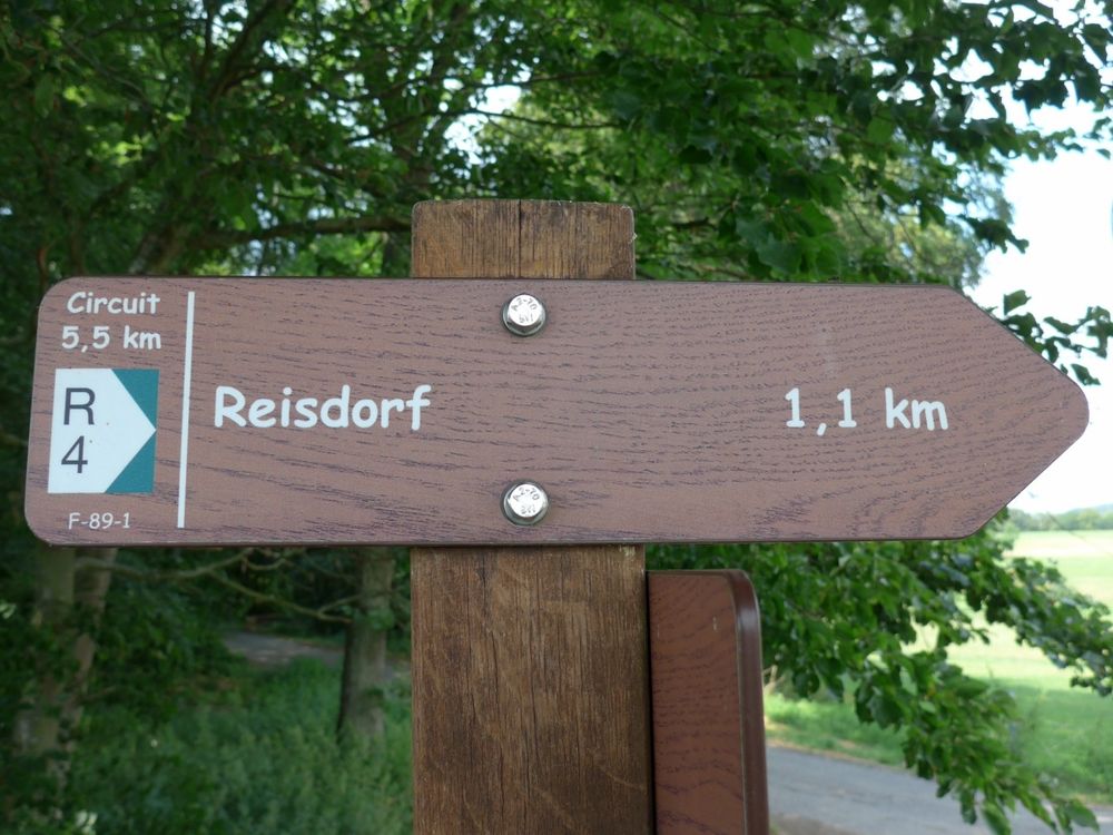
Local hiking trail - R4

Starting point

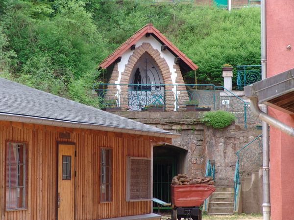
Reisdorf: Chapel

Destination

Reisdorf: Chapel

Distance
5,49 km
Duration
1:35 h
Difficulty
easy
  • Condition
Highest point
333 Hm
Lowest point
179 Hm
Aggregated Ascent
141 Hm
Aggregated Descent
141 Hm
Circular routes Visit Luxembourg

Description

Scenic

Attention!  The path is currently closed due to construction work.

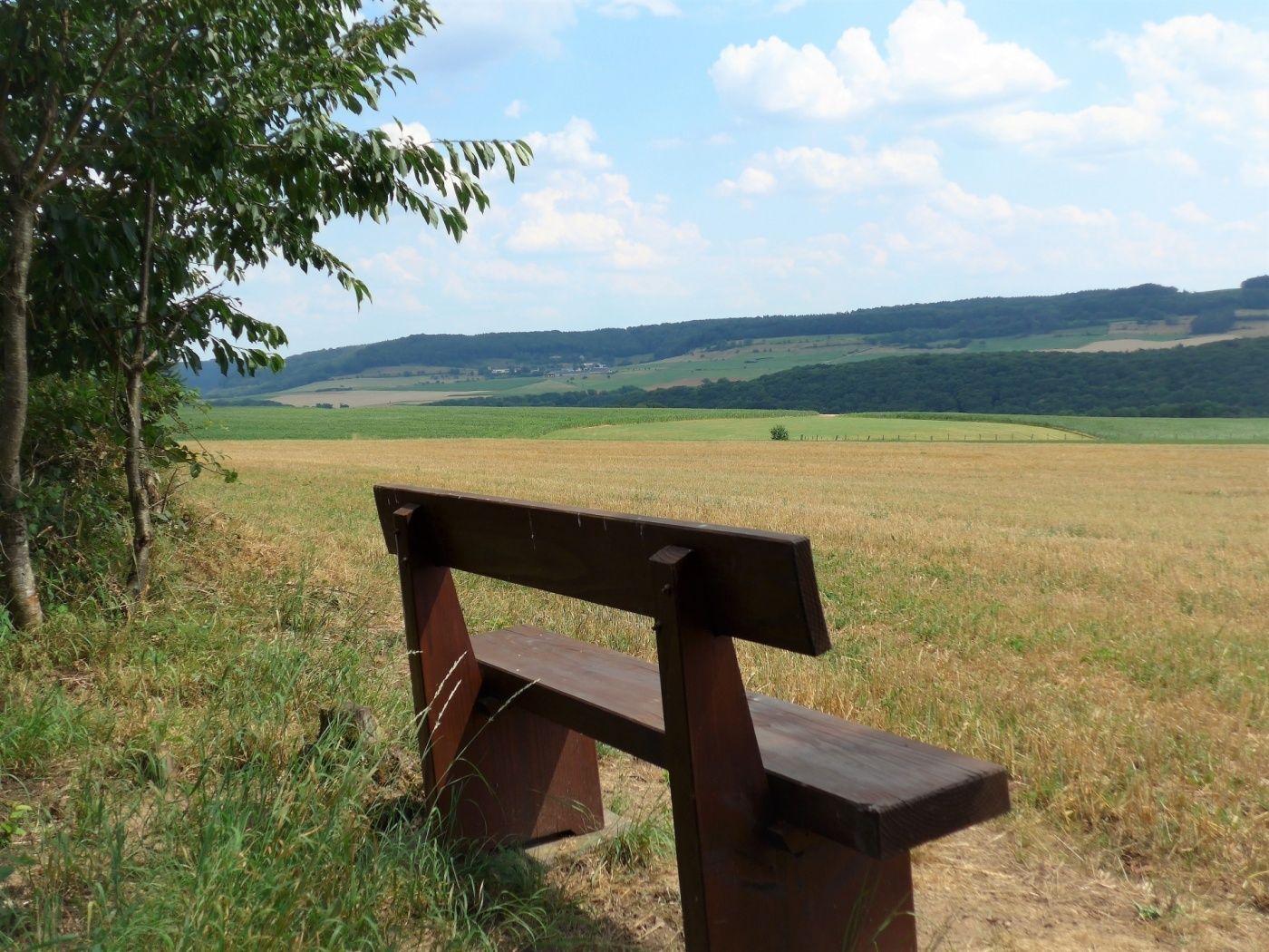
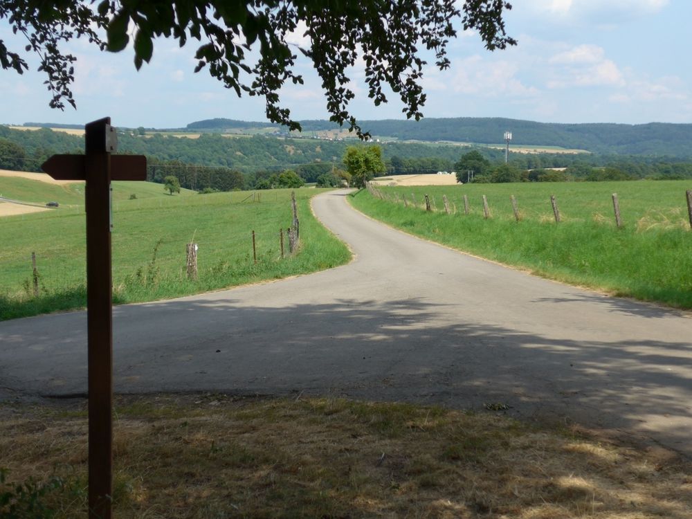
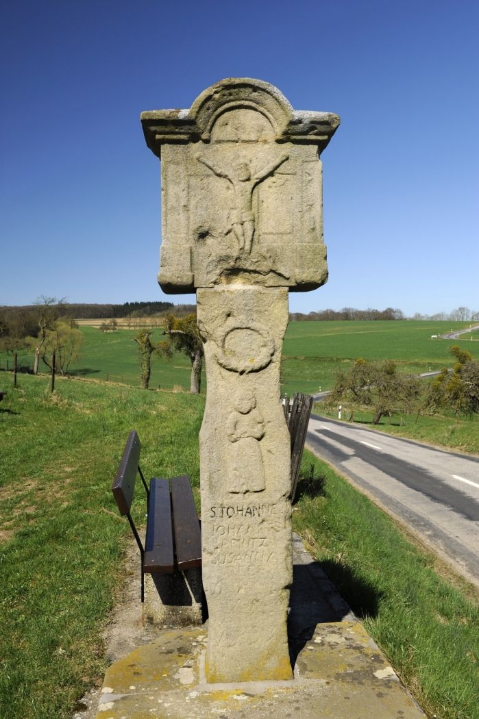
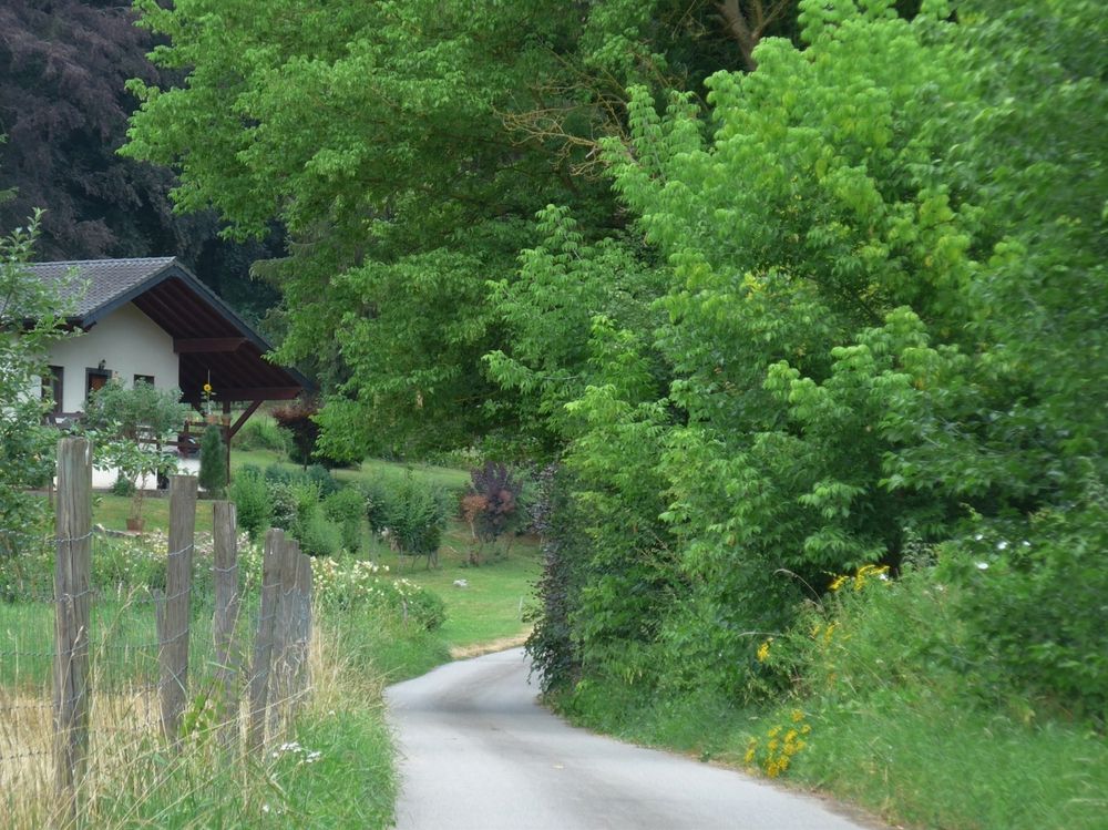
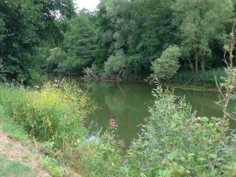
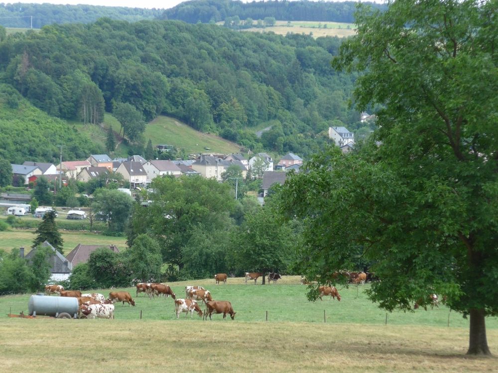
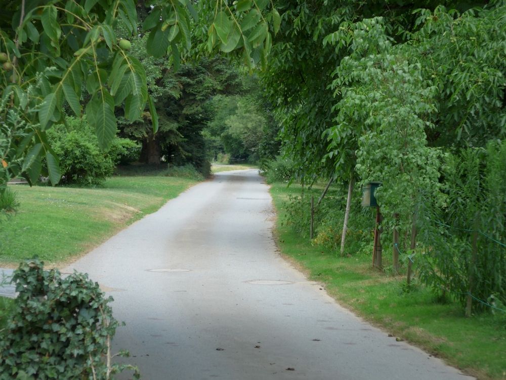
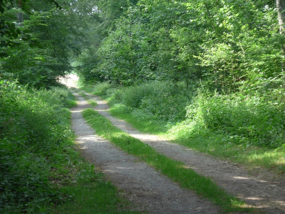
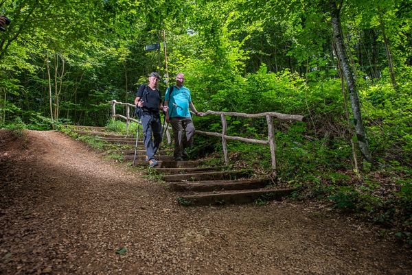
Idyllic forests, wide views and the river Sûre characterize this hiking trail.

This hiking trail first leads along the Sûre, then runs up to Heichelerbësch, through the valley of the brook Heckebaach.

On your way back to Reisdorf, you cross the Ronnebësch, an idyllic forest.

On your descent, take a break at the Kurtenhecken view point with a beautiful view of Reisdorf.


Suggestions nearby

Local hiking trail - R4

  • © ORT MPSL
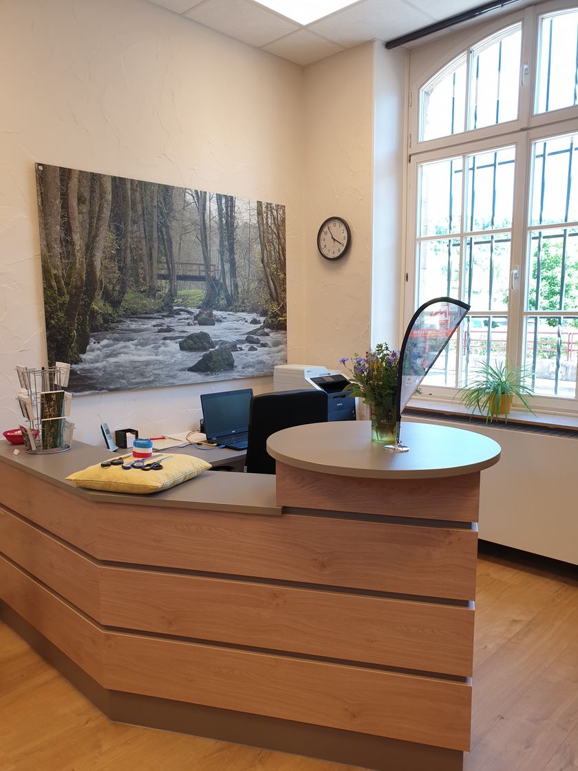
    Tourist Info Reisdorf
    Tourist Info Reisdorf
    Find out more

Similar hiking tours

© Administration des Eaux et Forêts / LFT
Esch: Sentier Pierre Wies trail – 8.5km
Distance: 10,60 km
Duration: 2:55 h
Difficulty: easy
Find out more
© Visit Luxembourg
Circular routes
Auto-Pédestre trail Bürden
Distance: 4,62 km
Duration: 1:25 h
Difficulty: easy
Find out more
© Visit Luxembourg
Circular routes
Auto-Pédestre trail Eschweiler
Distance: 7,05 km
Duration: 1:55 h
Difficulty: easy
Find out more
© Visit Luxembourg
Thematic paths
Nature Trail Cactusbësch
Distance: 6,09 km
Duration: 1:50 h
Difficulty: easy
Find out more
© Visit Luxembourg
Thematic paths
The Court Jester
Distance: 2,69 km
Duration: 1:00 h
Difficulty: easy
Find out more
© Visit Luxembourg
Thematic paths
Circular Walk "Forest Adventure - Mam Robi duerch de Bësch"
Distance: 2,82 km
Duration: 0:45 h
Difficulty: easy
Find out more
© Visit Luxembourg
Thematic paths
Bee Trail between Waldbillig and Christnach
Distance: 4,00 km
Duration: 1:30 h
Difficulty: easy
Find out more
© ©Visit Éislek
Éischter Bëschrou
Distance: 4,33 km
Duration: 1:10 h
Difficulty: easy
Find out more
© Jeniska Photography, Visit Luxembourg
Guttland.Trails
Guttland.Trail Fautelfiels
Distance: 5,40 km
Duration: 1:45 h
Difficulty: easy
Find out more