Luxembourg City Éislek Müllerthal Mosel Minett Guttland Germany France

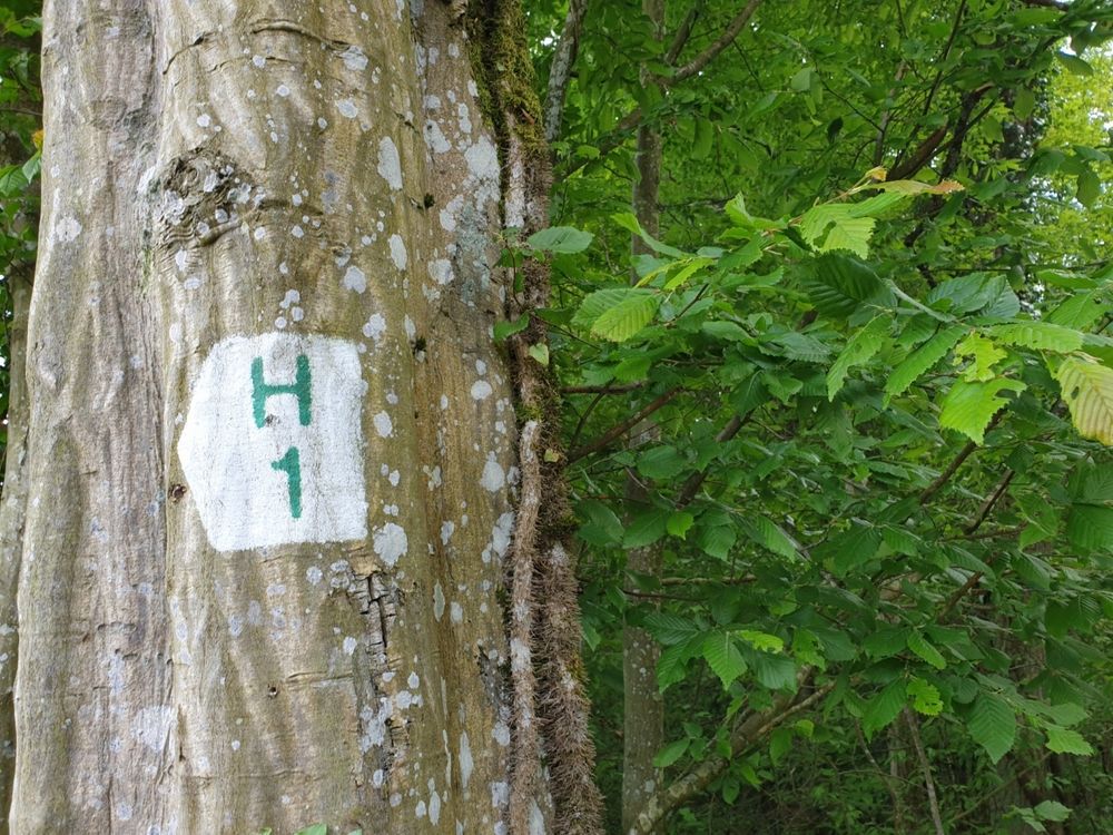
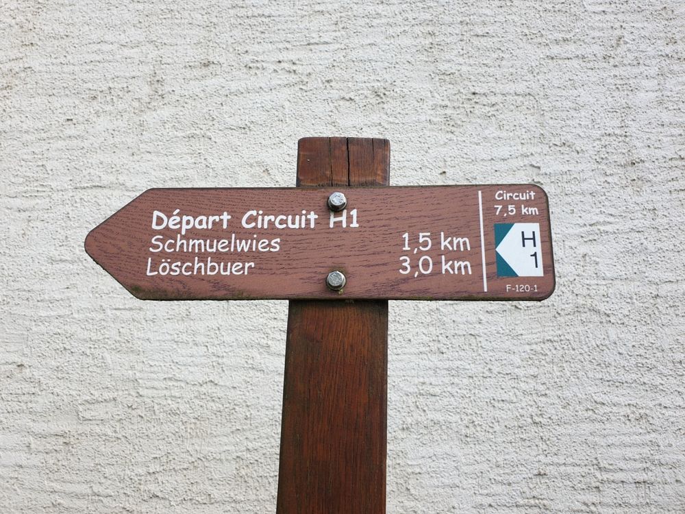
Local hiking trail - H1

Starting point

Heffingen: Town Hall

Destination

Heffingen: Town Hall

Distance

7,54 km

Duration

2:01 h

Difficulty

easy

  • Condition
  • Technique

Highest point

114 Hm

Lowest point

114 Hm

Circular routes Visit Luxembourg

Description

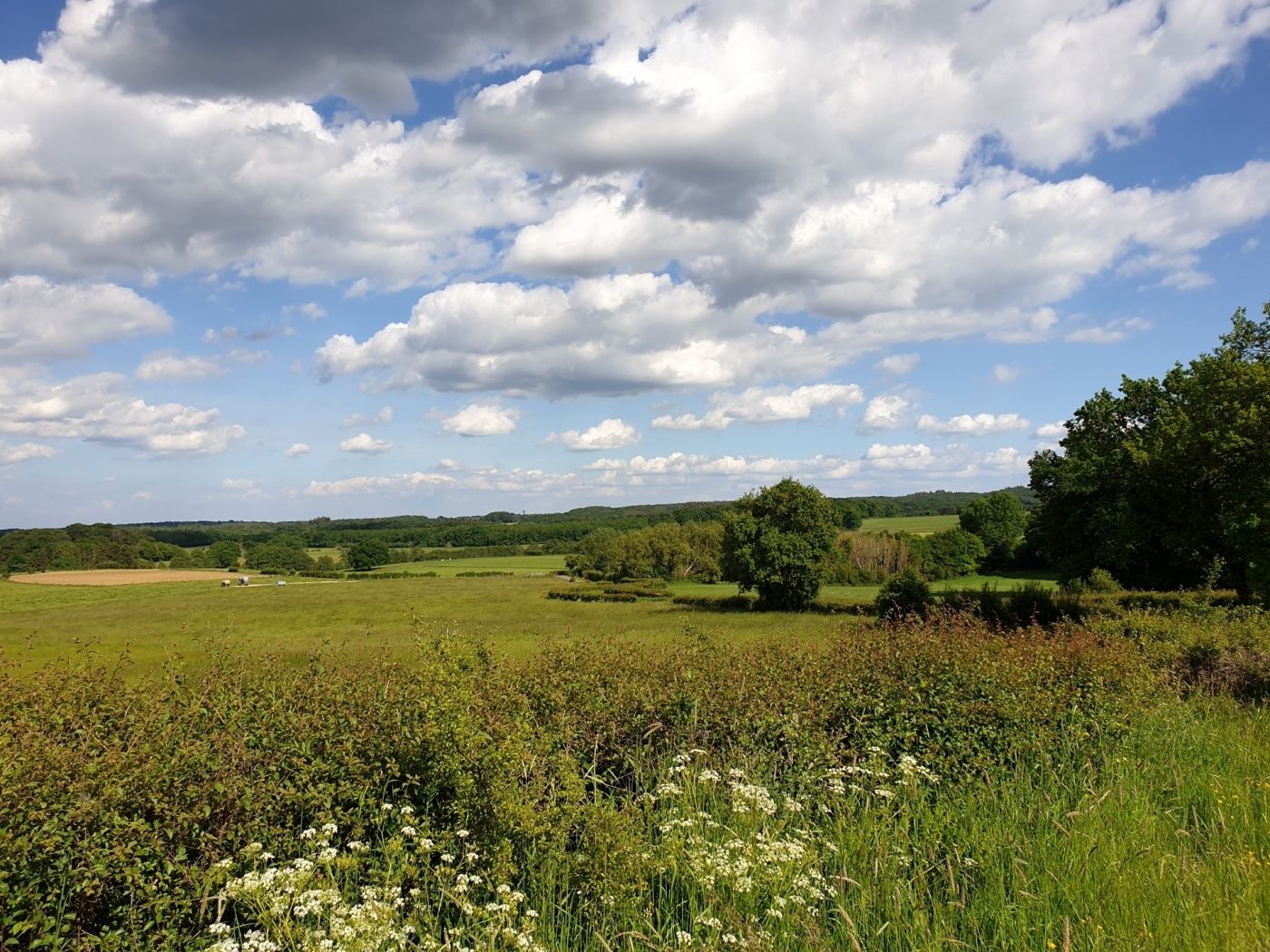
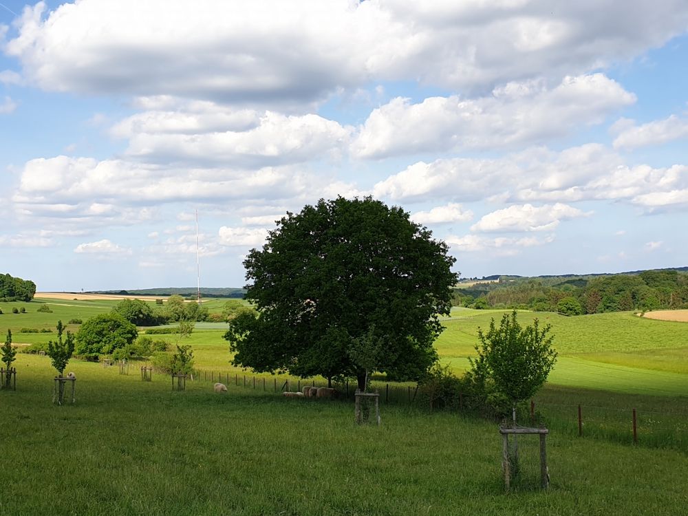
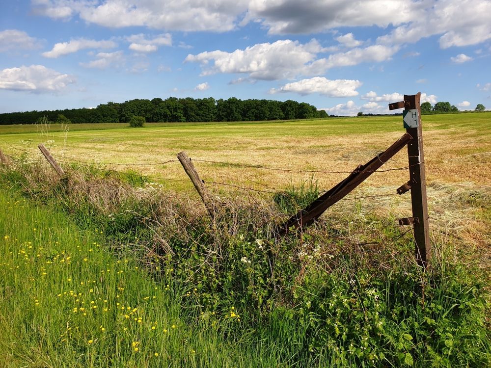
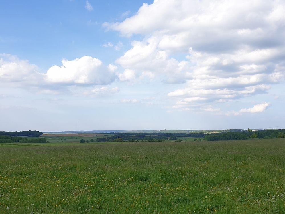
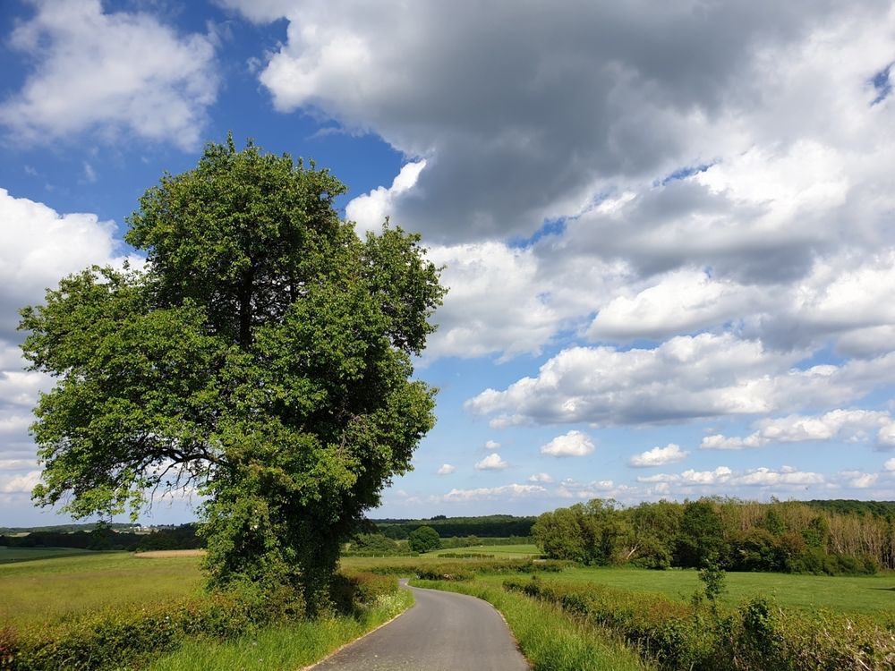
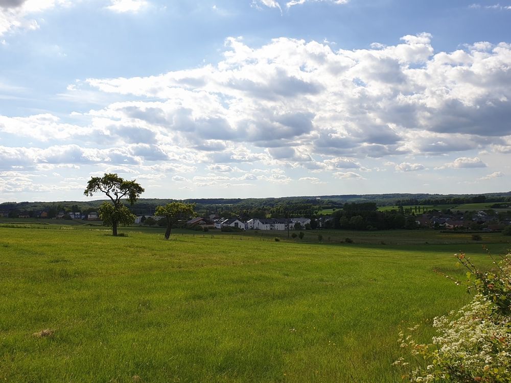
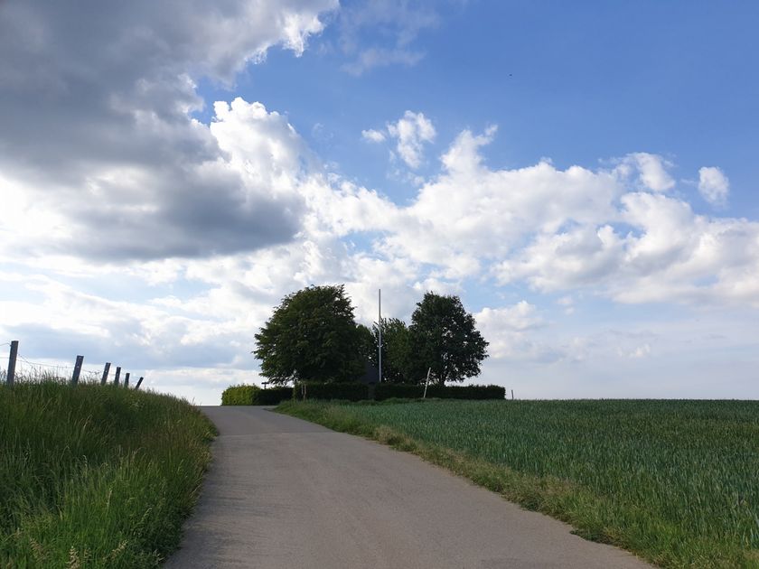
Panoramic hiking trail across the plateau - highly recommended in spring when the weather is sunny.

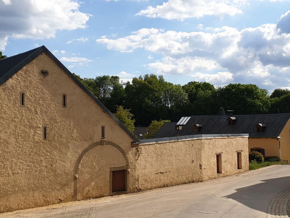
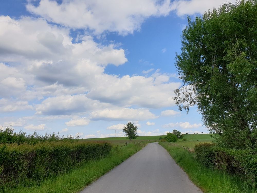
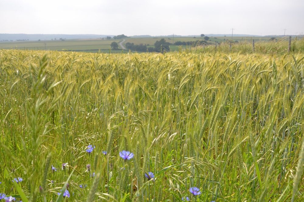
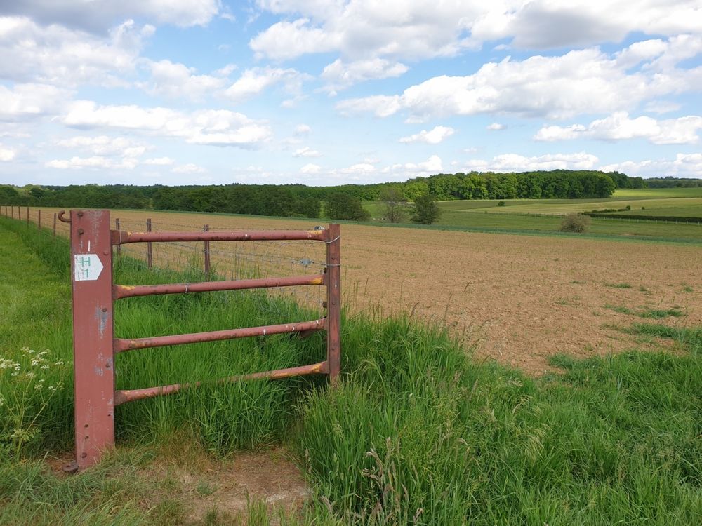
This path in Heffingen leads through wide fields and gives you beautiful views.

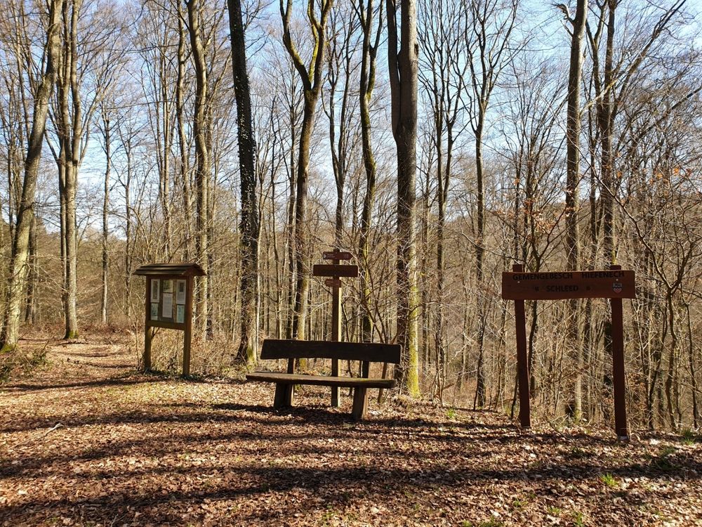
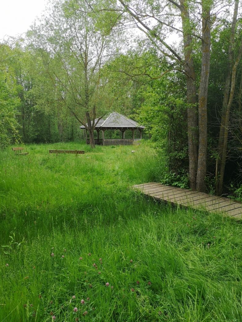
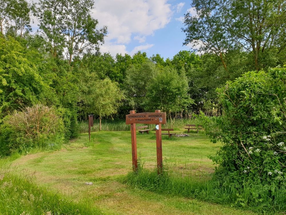
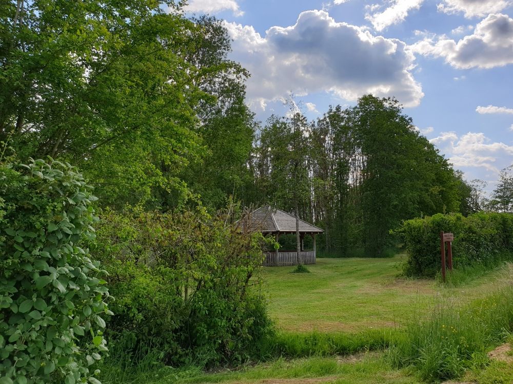
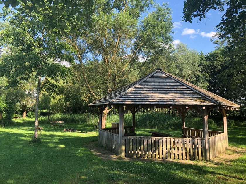
You start at the school, then turn right and pass through the fields until Huechemd. This is a small forest area on the right side where you can take a rest on one of the benches and enjoy the view.

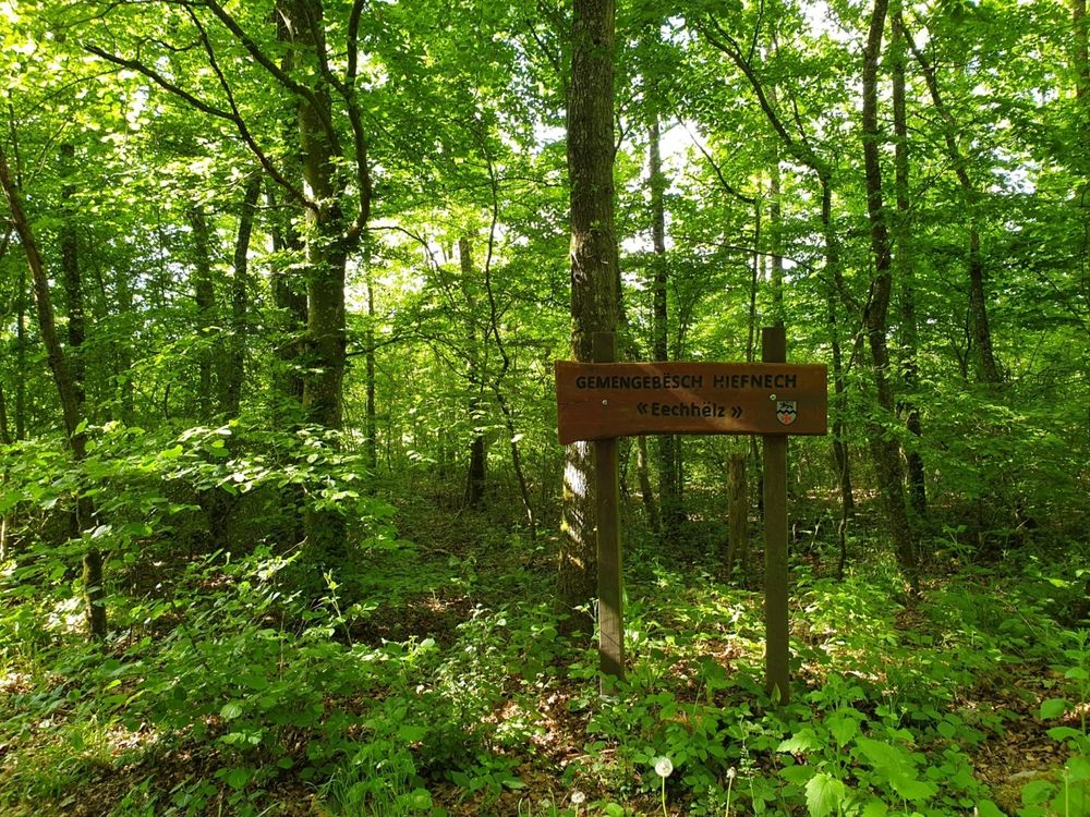
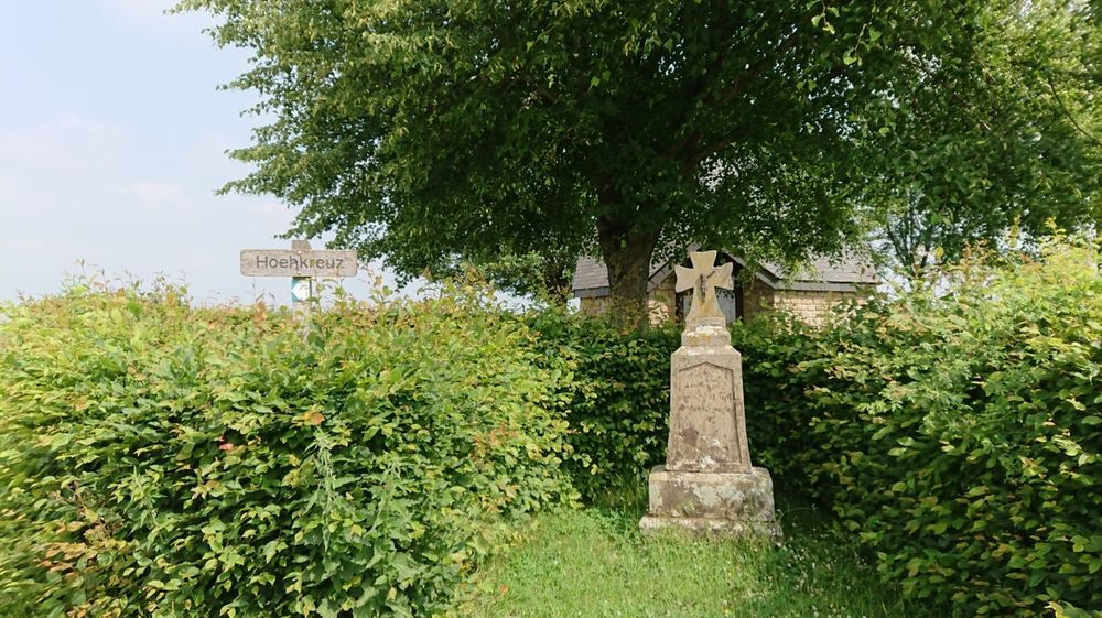
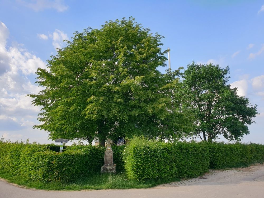
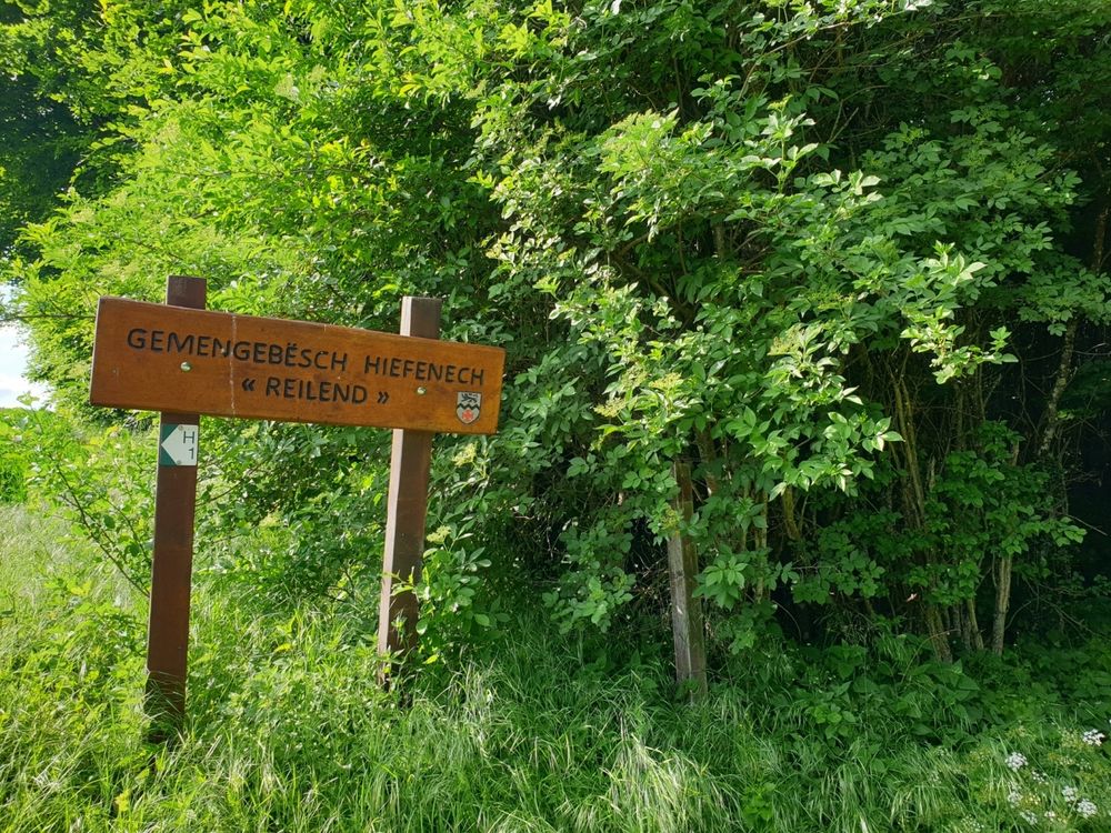
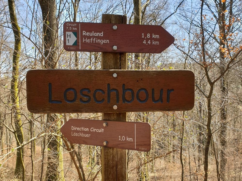
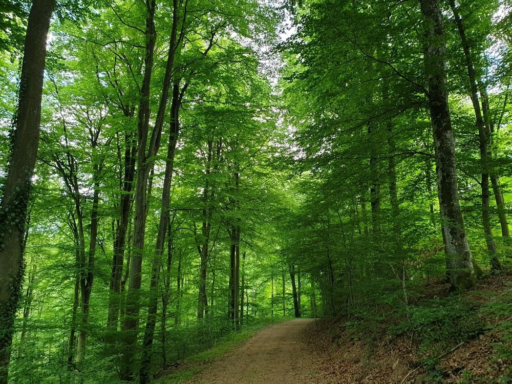
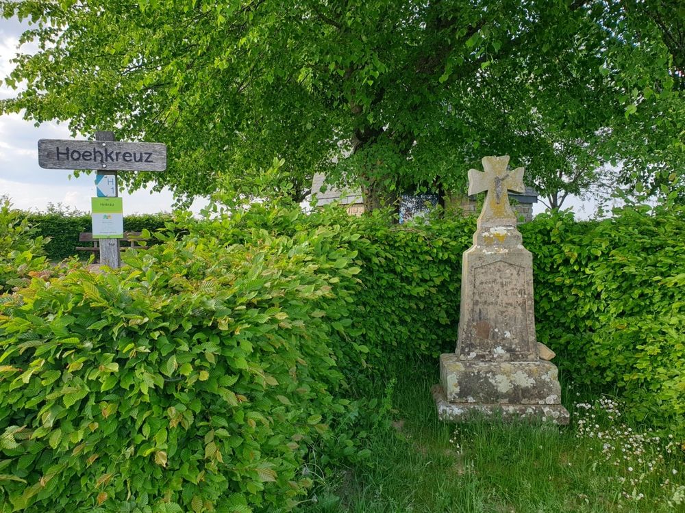
Further on, you walk through the dense forest next to the valley of the Black Ernz. You pass Reuland and then go back to Heffingen next to Héikräiz, a stone cross and a small chapel with a nice view.


for tour routing
local-hiking-trail-h1 gpx
Plan your journey

Tour feedback

Report a problem
Show all pictures

Suggestions nearby

Local hiking trail - H1

  • Heffingen Hueschemd Grill (c) ORT Mullerthal 002

    Where? Huechemd, L-7651 Heffingen

    Picnic area Huechemd

    Picnic area Huechemd

    Find out more
  • Where? Op der Stroos, L-7650 Heffingen

    Viewpoint "Héikräiz"

    Historic stone cross

    Find out more
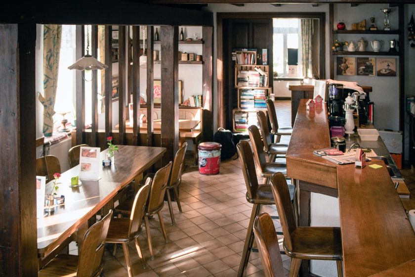
  • Café A Bau

    Where? 1, Am Dueref, L-7651 Heffingen

    Cafe A Bau

    Cafe A Bau

    Find out more

Similar hiking tours

Distance trails
24 Station to station Belvaux-Soleuvre - Belval-Université

Distance: 5,15 km
Duration: 1:20 h
Difficulty: easy

Find out more
Distance trails
31 Station to station Niederkorn - Bascharage-Sanem

Distance: 5,35 km
Duration: 1:20 h
Difficulty: easy

Find out more
Distance trails
33 Station to station Dippach-Reckange - Leudelange

Distance: 8,62 km
Duration: 2:10 h
Difficulty: easy

Find out more
Distance trails
40 Station to station Roodt-Syr - Betzdorf

Distance: 6,27 km
Duration: 1:36 h
Difficulty: easy

Find out more
Distance trails
42 Station to station Betzdorf - Manternach

Distance: 7,40 km
Duration: 1:55 h
Difficulty: easy

Find out more
Kayl Park Ourbett Liichte Wee
Circular routes

Accessible to all

Family-friendly

Accessible to all trail "Liichte Wee"

Distance: 2,10 km
Difficulty: easy

Find out more
Circular routes

Accessible to all

Audio Trail „Lauschter-Wanderwee Butschebuerg“

Distance: 1,17 km
Duration: 0:25 h
Difficulty: easy

Find out more
Circular routes
Auto-pédestre trail Ahn

Distance: 5,37 km
Duration: 1:30 h
Difficulty: easy

Find out more
Circular routes
Auto-pédestre trail Bech-Kleinmacher

Distance: 5,32 km
Duration: 1:29 h
Difficulty: easy

Find out more
outdooractive This website uses technology and content from the Outdooractive Platform.