© ORT Sud
Minett Germany France

European long-distance path GR 570

Starting point
Rue de la Crosnière, 4696 Differdange
Destination
Rue Bélair, 4713 Pétange
Distance
25,63 km
Duration
7:20 h
Difficulty
easy
  • Condition
Highest point
432 Hm
Lowest point
269 Hm
Aggregated Ascent
458 Hm
Aggregated Descent
520 Hm
Distance trails Visit Luxembourg

Description

Scenic
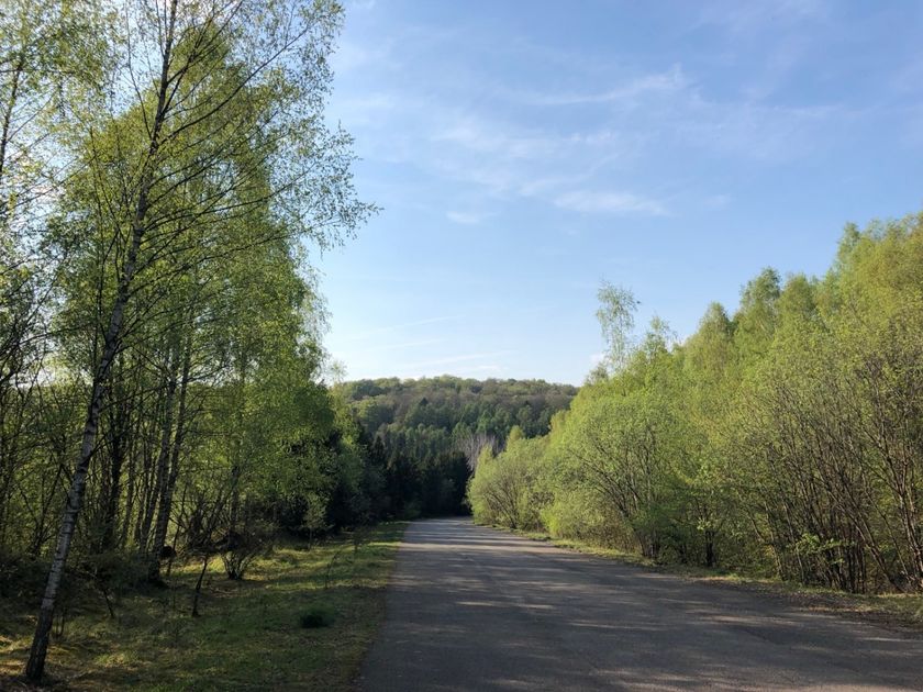
Hike on a part of the European long-distance trail, path GR 570

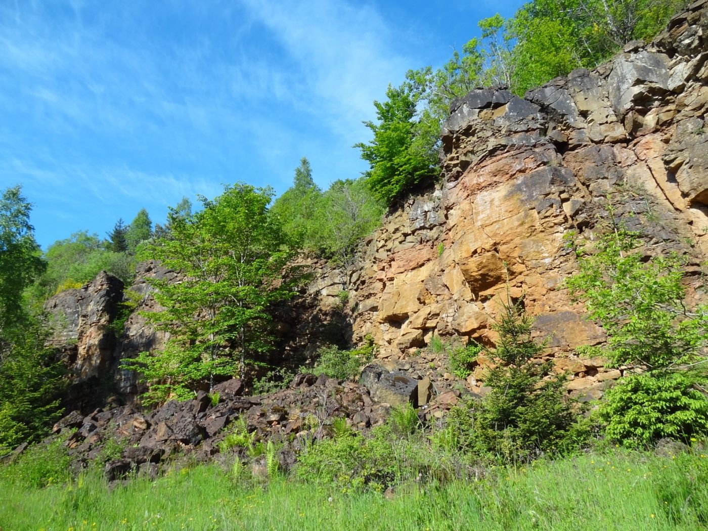
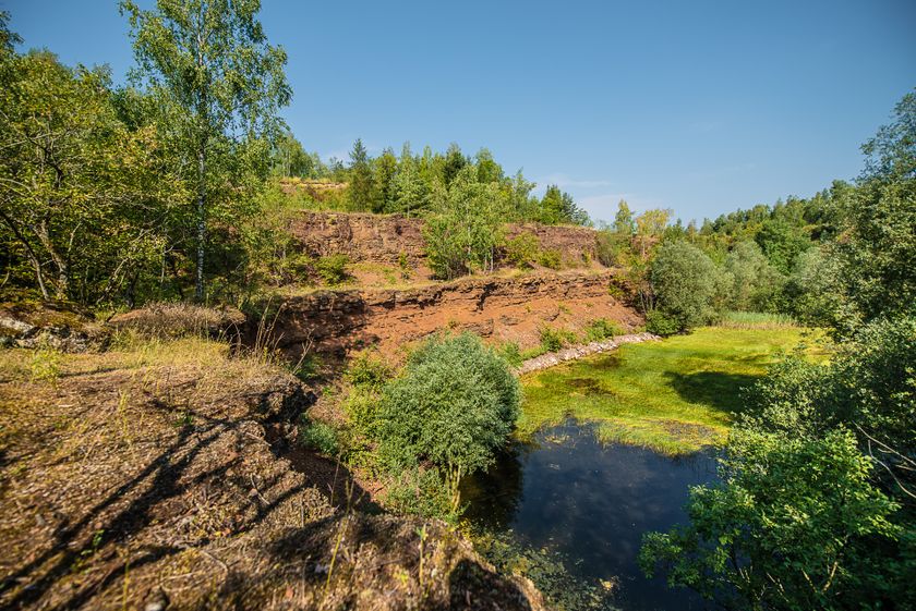
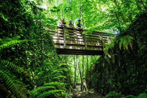
On this section of the European hiking trail, which leads from the Netherlands to the Mediterranean, you walk through the old industrial towns and villages of Pétange, Differdange, Oberkorn and Lasauvage and across the French border. On the way you will meet several silent witnesses of the mining past and learn more about the turbulent history of Luxembourg's industry. The old open-cast mining areas through which you walk are now nature reserves, and the entire region bears the UNESCO label "Man and the Biosphere".

Suggestions nearby

European long-distance path GR 570

  • Bim Diederich Exhibition
    Pedal on!
    Find out more
  • © Pulsa Pictures
    Minett Park Fond-de-Gras
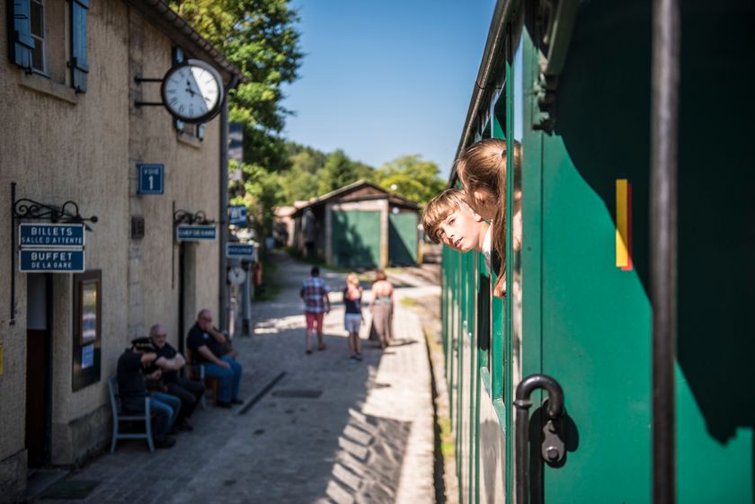
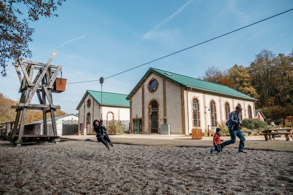
    The Minett Park Fond-de-Gras is an open-air museum that includes the Fond-de-Gras, the village of Lasauvage, the former open-cast mine of Giele Botter and the Celtic oppidum of Titelberg.
    Find out more
  • Nature reserve "Prënzebierg - Giele Botter"
    Nature has the final word
    Find out more
  • Nature reserve "Kiemerchen / Scheiergronn / Groussebësch"
    Nature reserve "Kiemerchen / Scheiergronn / Groussebësch"
    Find out more

Similar hiking tours

© Claude Piscitelli, Visit Luxembourg
Distance trails
24 Station to station Belvaux-Soleuvre - Belval-Université
Distance: 4,17 km
Duration: 1:05 h
Difficulty: easy
Find out more
© CFL, Visit Luxembourg
Distance trails
31 Station to station Niederkorn - Bascharage-Sanem
Distance: 5,28 km
Duration: 1:20 h
Difficulty: easy
Find out more
© CFL, Visit Luxembourg
Distance trails
33 Station to station Dippach-Reckange - Leudelange
Distance: 8,52 km
Duration: 2:15 h
Difficulty: easy
Find out more
© Visit Luxembourg
Distance trails
36 Station to station Leudelange - Mamer Lycée - Mamer
Distance: 10,96 km
Duration: 2:45 h
Difficulty: easy
Find out more
© Visit Luxembourg
Distance trails
40 Station to station Roodt-Syr - Betzdorf
Distance: 6,27 km
Duration: 1:36 h
Difficulty: easy
Find out more
© Visit Luxembourg
Distance trails
42 Station to station Betzdorf - Manternach
Distance: 7,40 km
Duration: 1:55 h
Difficulty: easy
Find out more
© Visit Minett, Visit Minett
Circular routes
Audio Trail „Lauschter-Wanderwee Butschebuerg“
Distance: 1,17 km
Duration: 0:25 h
Difficulty: easy
Find out more
© Paul Hilbert, Visit Luxembourg
Circular routes
Auto-pédestre trail Ahn
Distance: 5,78 km
Duration: 1:40 h
Difficulty: easy
Find out more
© Unknown
Circular routes
Auto-pédestre trail Beaufort
Distance: 5,72 km
Duration: 1:39 h
Difficulty: easy
Find out more