Éislek Pied Visit Luxembourg
Description
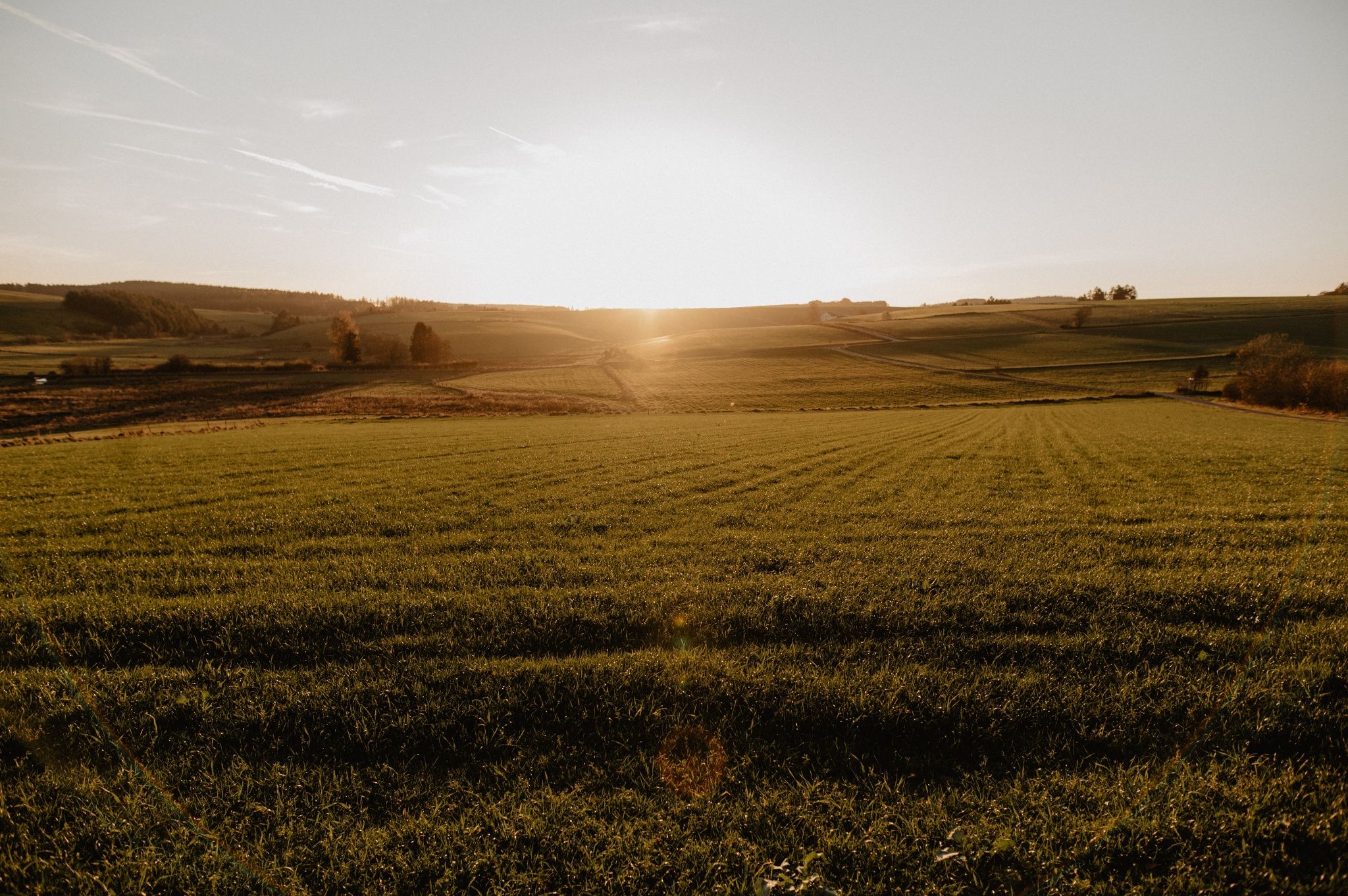
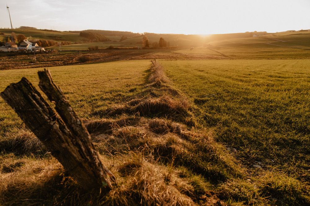
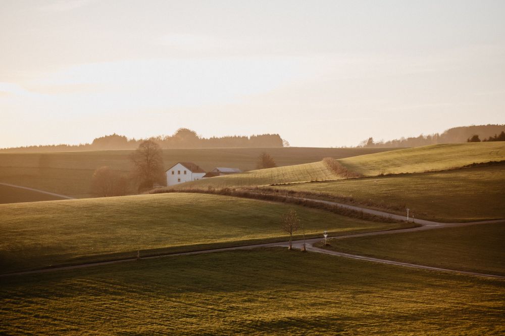
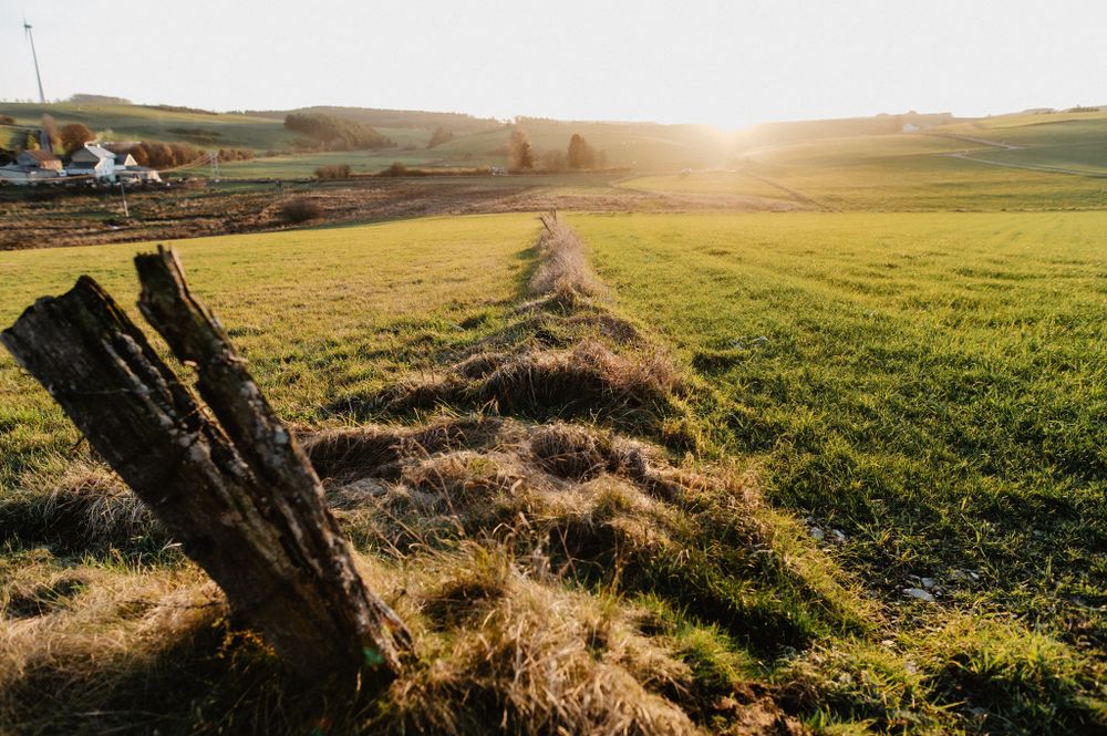
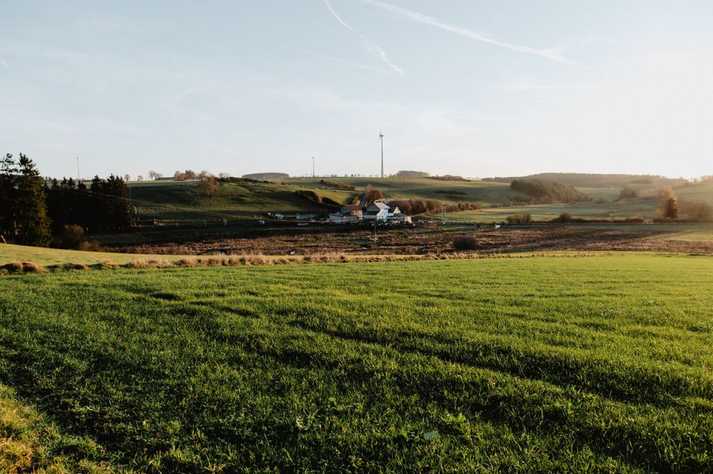
On the wide plateau
Along the stream, past the Asselborner Mill, the slate pit, and the Millebierg viewpoint, this path leads across the Wincrange plateau. Let your eyes wander over the landscape! The stream also enjoys so much space and makes a few extra loops for you in its regained bed.
Signposting

Directions
The hiking trail is marked in both directions. Please follow the Éislek marking sign.
For your safety
Weather conditions such as wetness, ice, and wind can make a route more difficult. The information refers to optimal conditions.
Equipment
Sturdy footwear and something to drink.


 This website uses technology and content from the Outdooractive Platform.