Description
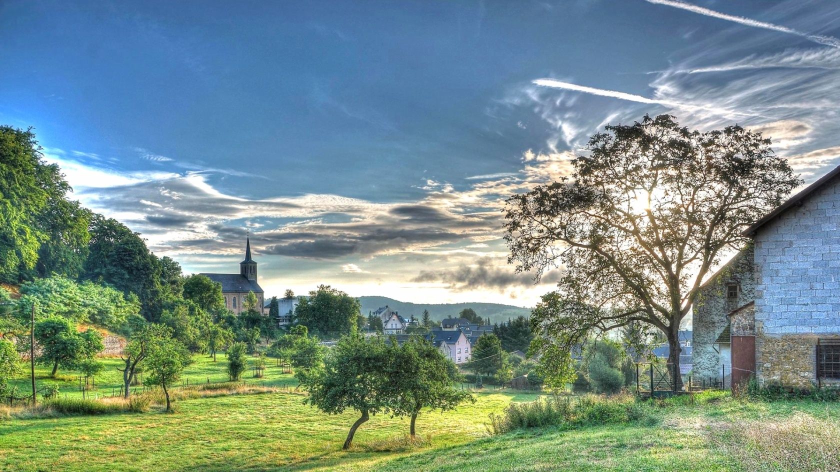
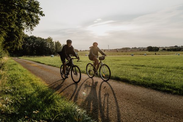
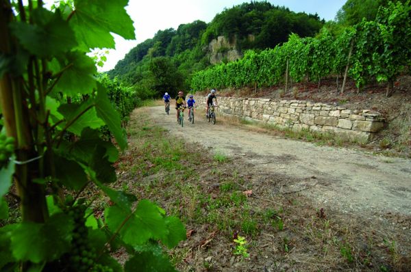
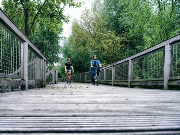
The Syre Cycle Path (PC 4) connects the routes PC2 (Ernster) and PC3 (Mertert) via Betzdorf and Manternach. Some sections of this cycle path may run on roads with traffic.
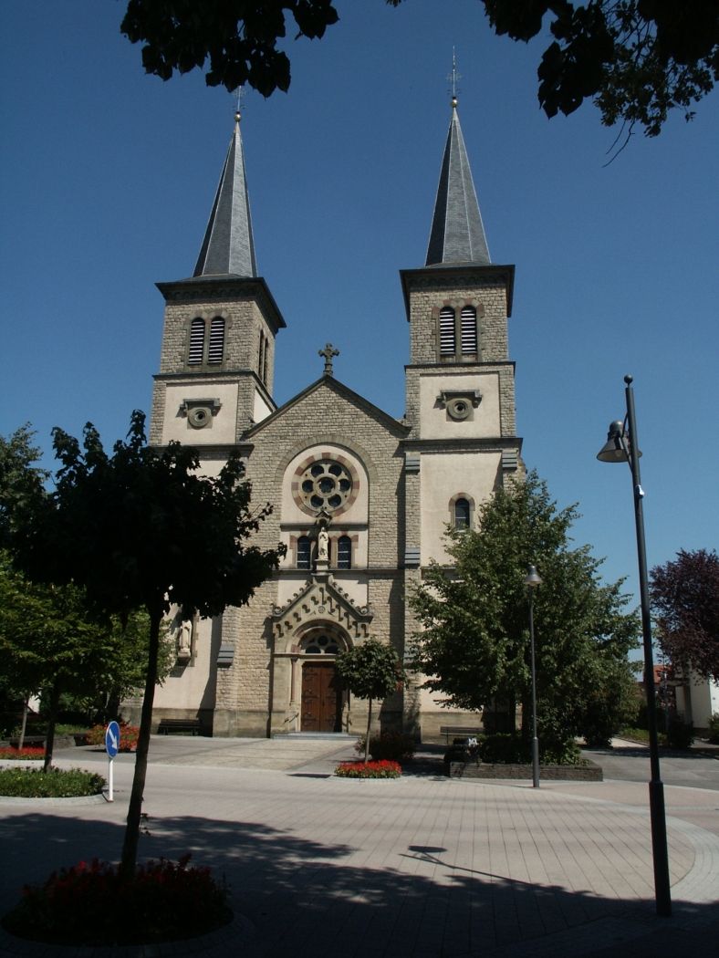
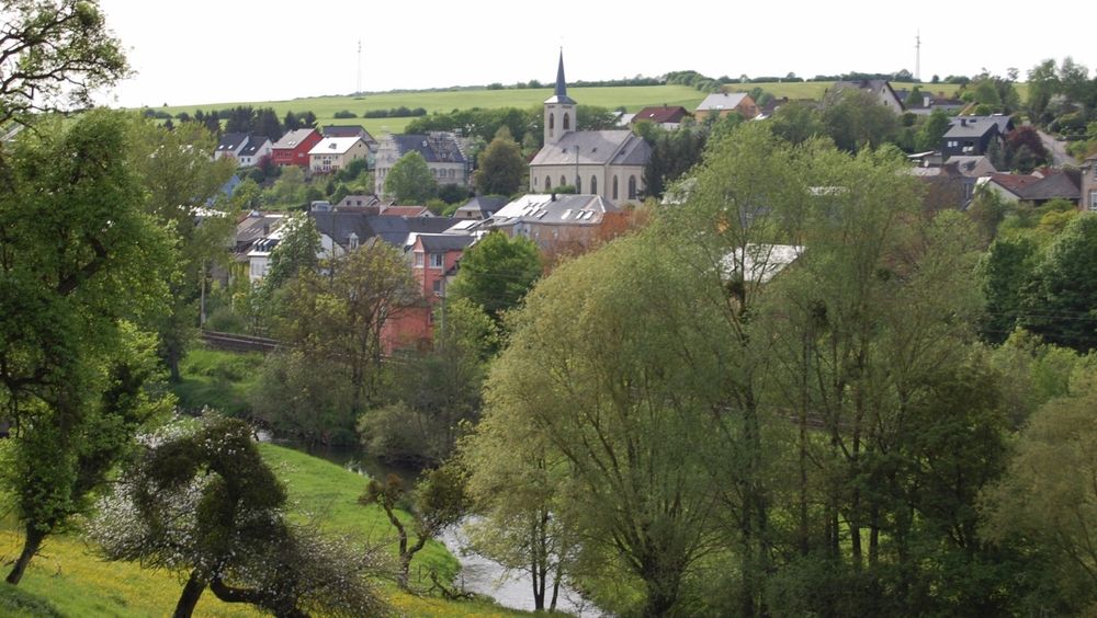
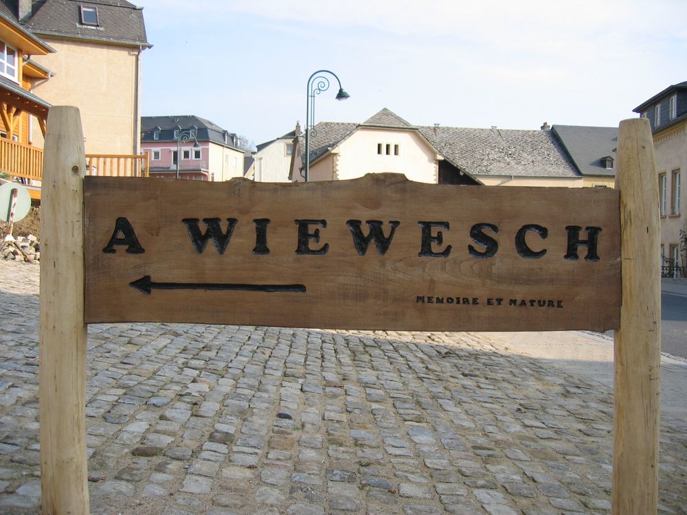
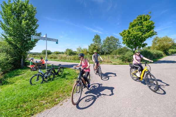
From Ernster, at the junction with the PC2 "Echternach Cycle Path," the route goes up the "Rue de Rodenbourg" and goes straight ahead at the first right curve onto the bypass road. It follows this road to the next intersection, where it turns left towards Rodenbourg. From Rodenbourg, you can reach Grevenmacher and Mertert via the towns of Olingen, Betzdorf, Hagelsdorf, Wecker, and Manternach on the CR122 and CR134. In the Betzdorf municipality, signs have been put up for sections of the municipal cycle path. The PC4 is not yet signposted.
Directions
From Ernster, at the junction with the PC2 "Echternach Cycle Path," the route goes up the "Rue de Rodenbourg" and goes straight ahead at the first right curve onto the bypass road. It follows this road to the next intersection, where it turns left towards Rodenbourg. From Rodenbourg, you can reach Grevenmacher and Mertert via the towns of Olingen, Betzdorf, Hagelsdorf, Wecker, and Manternach on the CR122 and CR134. In the Betzdorf municipality, signs have been put up for sections of the municipal cycle path. The PC4 is not yet signposted.
For your safety
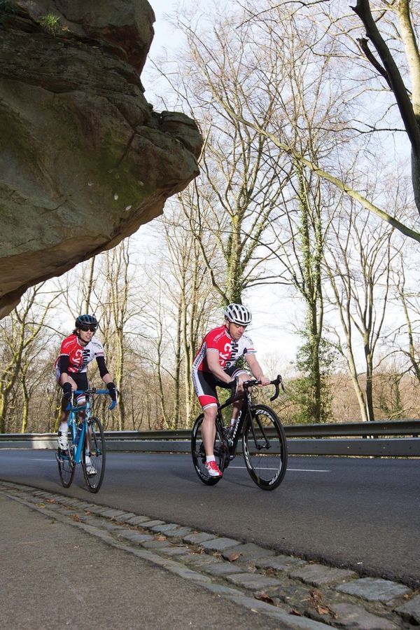
Always pay attention to roads with traffic that may cross the cycle paths.
Equipment
No special equipment is required. Your bicycle must comply with road traffic regulations.
Journey
Bus stop: Ernster, Duerfplaz
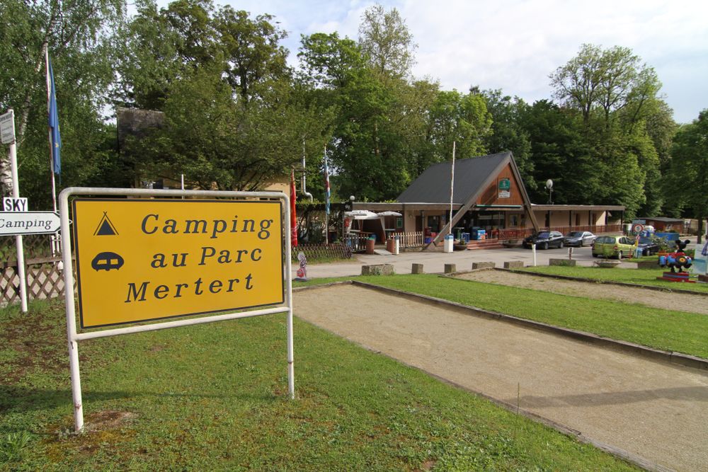
Mertert train station
Getting there:
Follow the signs to Ernster.
Parking:
Free parking nearby.

 This website uses technology and content from the Outdooractive Platform.