Circular routes Visit Luxembourg
Description
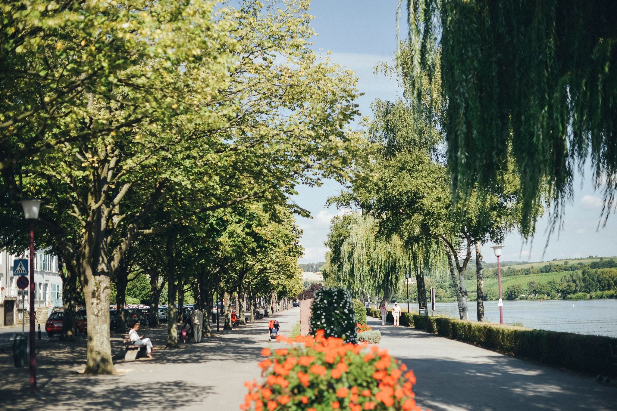
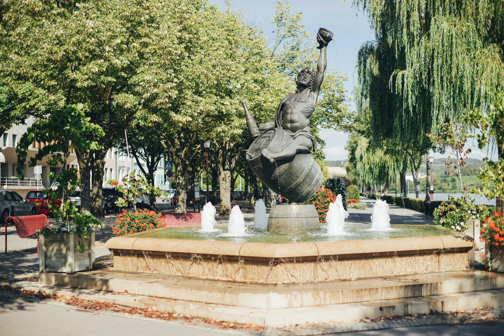
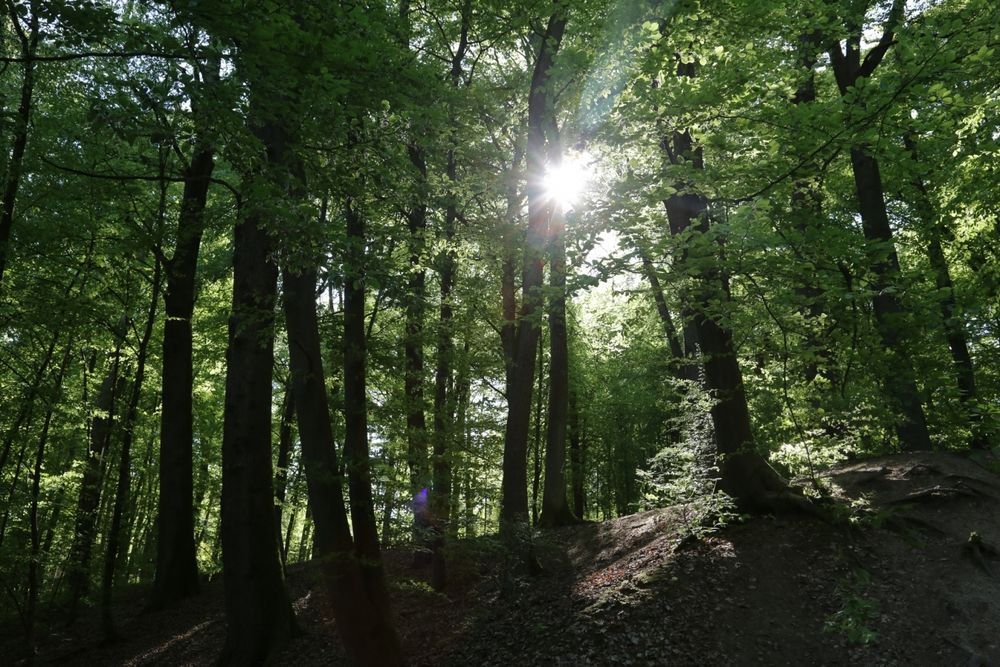
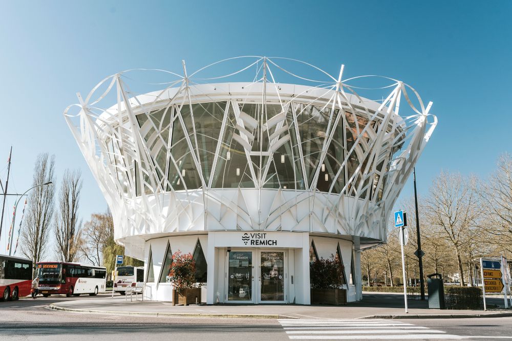
Remich circular route
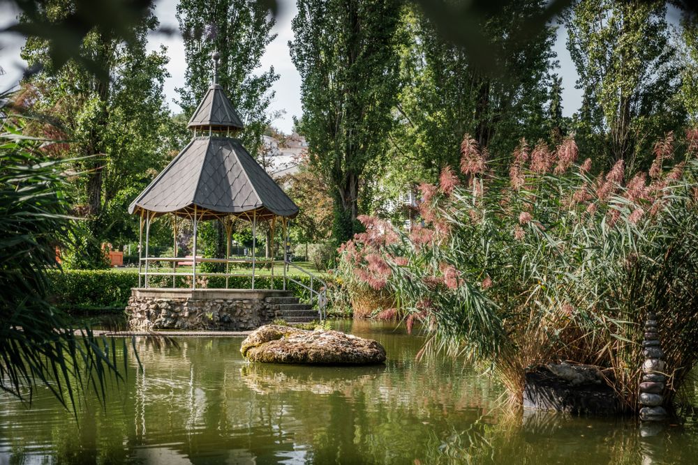
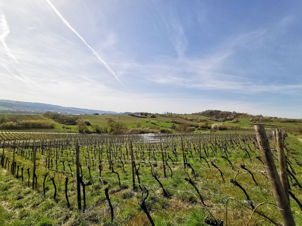
The route takes you through the old streets of the town, through the vineyards and along the national hiking trail "Sentier de la Moselle" up into the vineyards to the Goldberg. The return to the starting point goes through the Remich forest.
Signposting
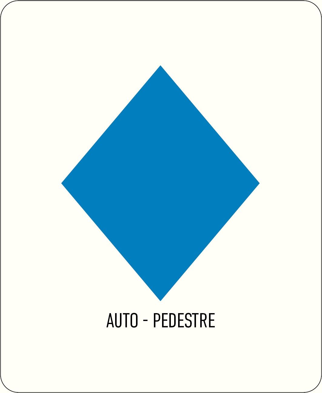
Directions
Follow the blue diamond on a white background; the path is marked in both directions.
Journey
Public transport:
Parking:
Nearest bus stop: Remich, Gare routière
Parking:
A parking lot is located right at the starting point.


 This website uses technology and content from the Outdooractive Platform.