© Visit Luxembourg

Auto-pédestre trail Eischen I

Starting point
Place Denn, rue de Steinfort in Eischen
Destination
Place Denn, rue de Steinfort in Eischen
Distance
7,73 km
Duration
2:14 h
Difficulty
medium
  • Condition
Highest point
386 Hm
Lowest point
276 Hm
Aggregated Ascent
191 Hm
Aggregated Descent
191 Hm
Circular routes Visit Luxembourg

Description

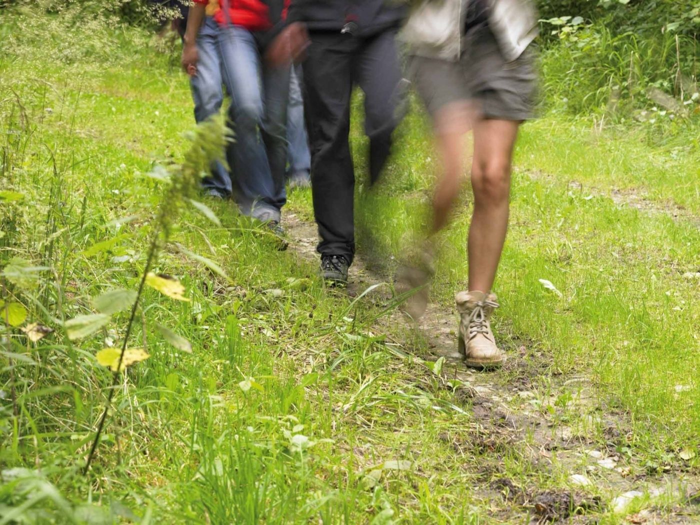
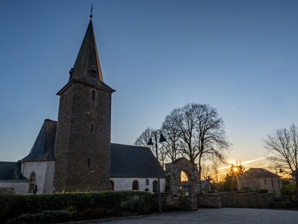
Circular walk Eischen I

We cross the Eisch and follow the cycle path before entering the Grousse­bësch. After a quick side-trip to the Belgian border near Gaichel, we continue on the route of the national footpath "Sentier des Sept Châteaux" back to the starting point.
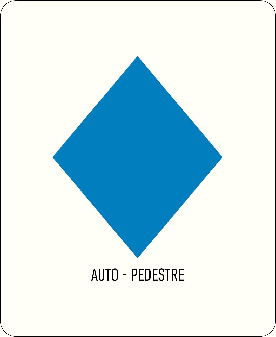
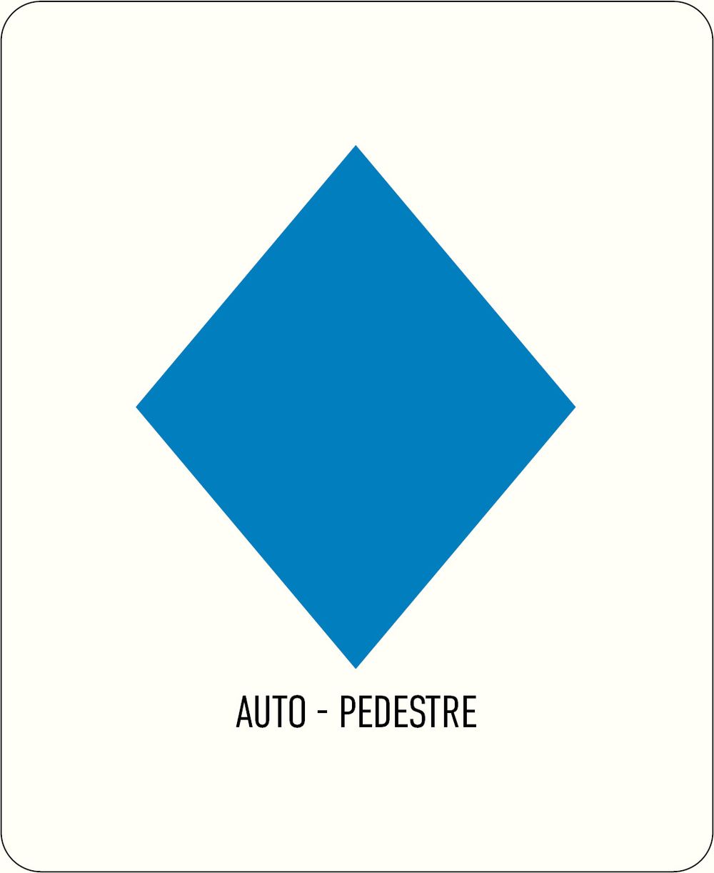
Please make sure to enable your Cookies in case you don't see this content.

Suggestions nearby

Auto-pédestre trail Eischen I

  • © Auberge de la Gaichel
    Le Jardin de La Gaichel
    Le Jardin de La Gaichel
    Find out more

Similar hiking tours

© © Wanderbüro Saar-Hunsrück, Klaus-Peter Kappest, SaarSchleifenLand
Dream loops
"Traumschleife" Schengen without borders
Distance: 8,54 km
Duration: 3:30 h
Difficulty: medium
Find out more
© Visit Luxembourg
Distance trails
21 Station to station Bettembourg - Dudelange-Burange
Distance: 14,66 km
Duration: 3:45 h
Difficulty: medium
Find out more
© CFL, Visit Luxembourg
Distance trails
22 Station to Station Dudelange - Burange - Rumelange
Distance: 10,22 km
Duration: 3:05 h
Difficulty: medium
Find out more
© ORT Sud
Distance trails
23 Station to station Rumelange - Kayl
Distance: 12,57 km
Duration: 3:25 h
Difficulty: medium
Find out more
© Visit Luxembourg
Distance trails
25 Station to station Kayl - Schifflange - Esch-sur-Alzette
Distance: 21,71 km
Duration: 6:05 h
Difficulty: medium
Find out more
© Pulsa Pictures, ORT SUD
Distance trails
26 Station to station Esch-sur-Alzette - Belvaux-Soleuvre
Distance: 9,05 km
Duration: 2:30 h
Difficulty: medium
Find out more
© Visit Luxembourg
Distance trails
27 Station to station Belvaux-Soleuvre-Oberkorn
Distance: 5,20 km
Duration: 1:25 h
Difficulty: medium
Find out more
© ORT Sud
Distance trails
28 Station to station Oberkorn - Niederkorn
Distance: 8,69 km
Duration: 2:25 h
Difficulty: medium
Find out more
© ORT Sud
Distance trails
29 Station to station Niederkorn - Rodange
Distance: 10,12 km
Duration: 2:55 h
Difficulty: medium
Find out more