Circular routes Visit Luxembourg
Description
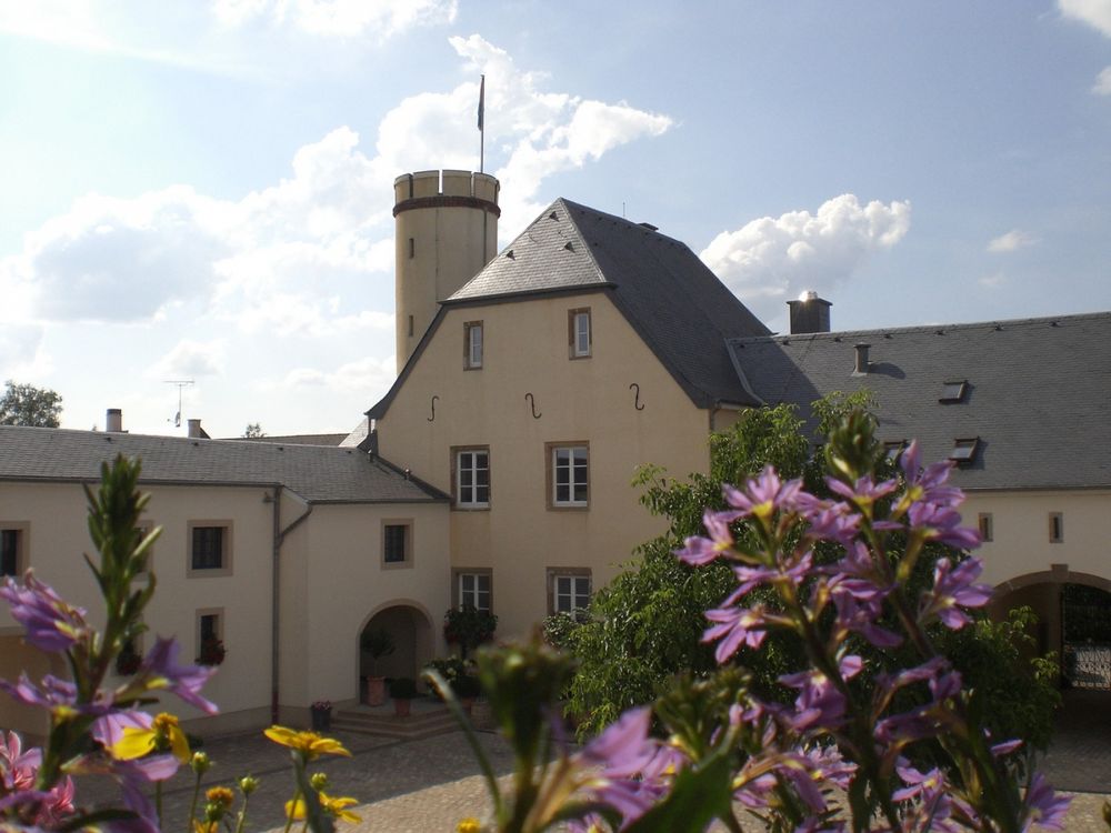
This route leads through the Junkerbësch and past Betzdorf Castle, headquarters of the satellite operator SES S.A.
From the station, walk cross-country and through the Junkerbësch to Betzdorf Castle. Then descend to the Syr. Across fields, you return to Betzdorf. Highlights of this route include the extensive mixed deciduous forests and the antenna system at Betzdorf Castle, former grand ducal residence.
Signposting
Directions
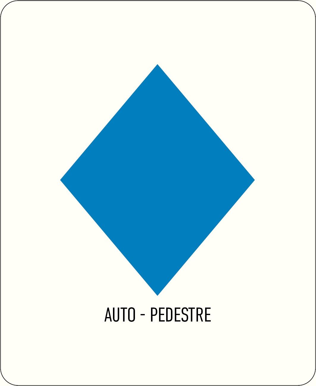
Please follow the signage with the blue lozenge on a white background. The walking route is marked in both directions.
Equipment
Sturdy footwear
Journey
Public transport:
Train to Betzdorf station


 This website uses technology and content from the Outdooractive Platform.