Description
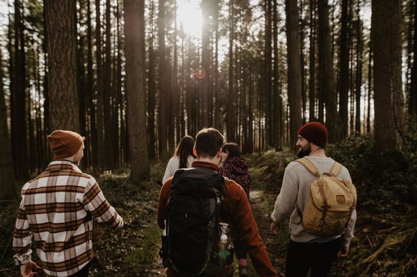
The Mullerthal Trail is supplemented by four other ExtraTours, which are also very attractive hiking trails. They are ideal for getting to know the region or as supplementary tours if you have already hiked the three Routes.
The ExtraTour D connects the Mullerthal region to the Grünewald, a forest near the capital, where a connection to further hiking networks is possible.
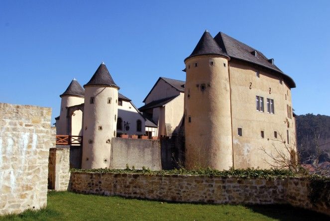
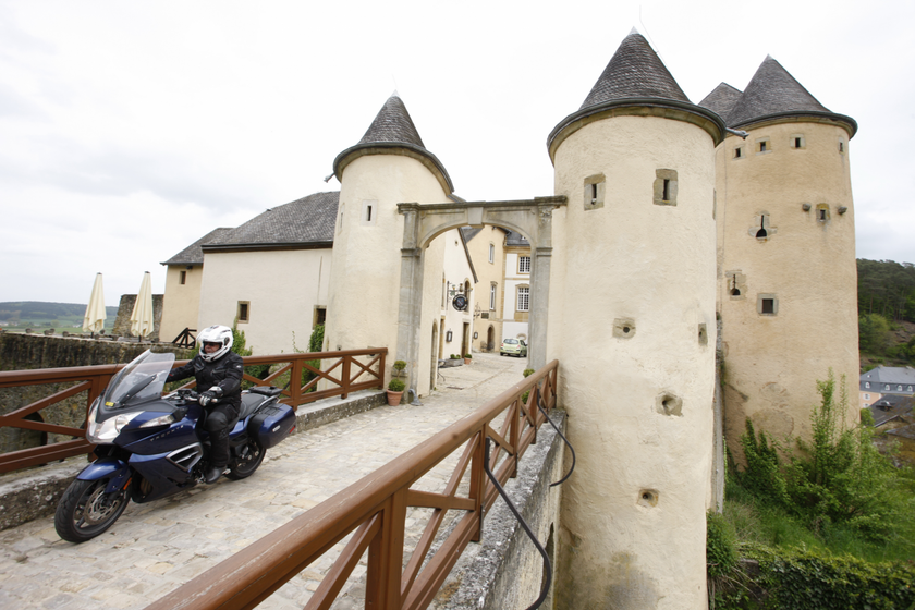
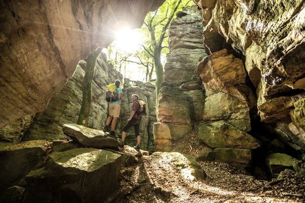
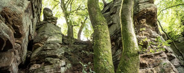
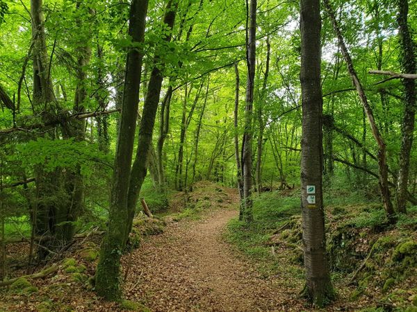
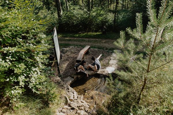
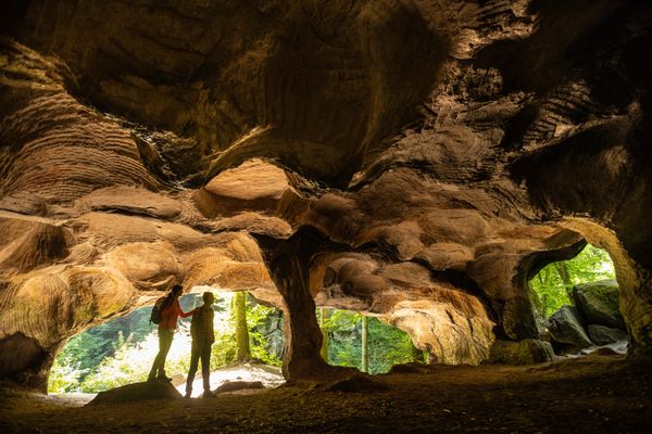
The start is in the cobbled village of Bourglinster at the beautiful castle. From there, after Altlinster and Schleifmillen, you pass the rock formations of the prehistoric place of worship called Häerdcheslay. Through a beautiful mixed forest with a pond, you arrive at Blumenthal (connection to the Mullerthal Trail Route 3), you pass the striking TV towers and get to Junglinster. From here, after having made 18.5 km, you can make a shortcut to get back to Bourglinster. From Junglinster, the tour runs through beautiful forest trails of the "Grand Ducal gate", a private forest belonging to the Grand Ducal family, 500 ha big, which is open to the public since 2009.
Possible starting points:
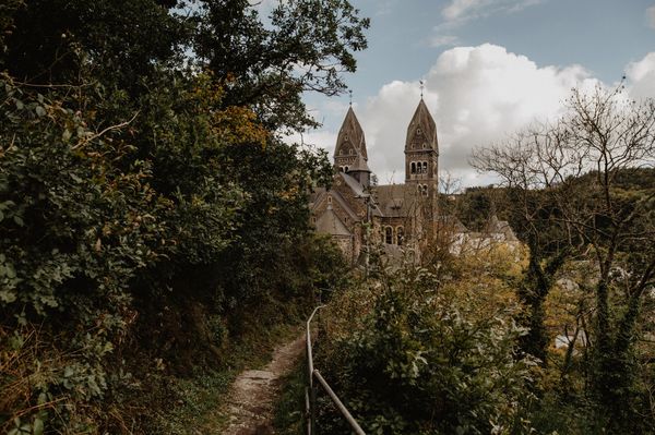
Junglinster: Chruch
Bourglinster: Castle
Blumenthal: Centre
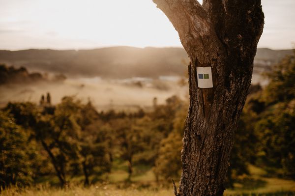
Signposting

Directions
The start is in the cobbled village of Bourglinster at the beautiful castle. From there, after Altlinster and Schleifmillen, you pass the rock formations of the prehistoric place of worship called Häerdcheslay. Through a beautiful mixed forest with a pond, you arrive at Blumenthal (connection to the Mullerthal Trail Route 3), you pass the striking TV towers and get to Junglinster. From here, after having made 18.5 km, you can make a shortcut to get back to Bourglinster. From Junglinster, the tour runs through beautiful forest trails of the "Grand Ducal gate", a private forest belonging to the Grand Ducal family, 500 ha big, which is open to the public since 2009.
Equipment
Sturdy shoes recommended, especially in wet weather.
Journey
Closest bus stop:
Junglinster, Gemeng
Bourglinster, Am Duerf
Blumenthal, Blummendall
Parking:
Closest parking lot:
Junglinster: Kirche (on site)
Bourglinster: Schloss (on site)

 This website uses technology and content from the Outdooractive Platform.