© Visit Éislek

Bomm

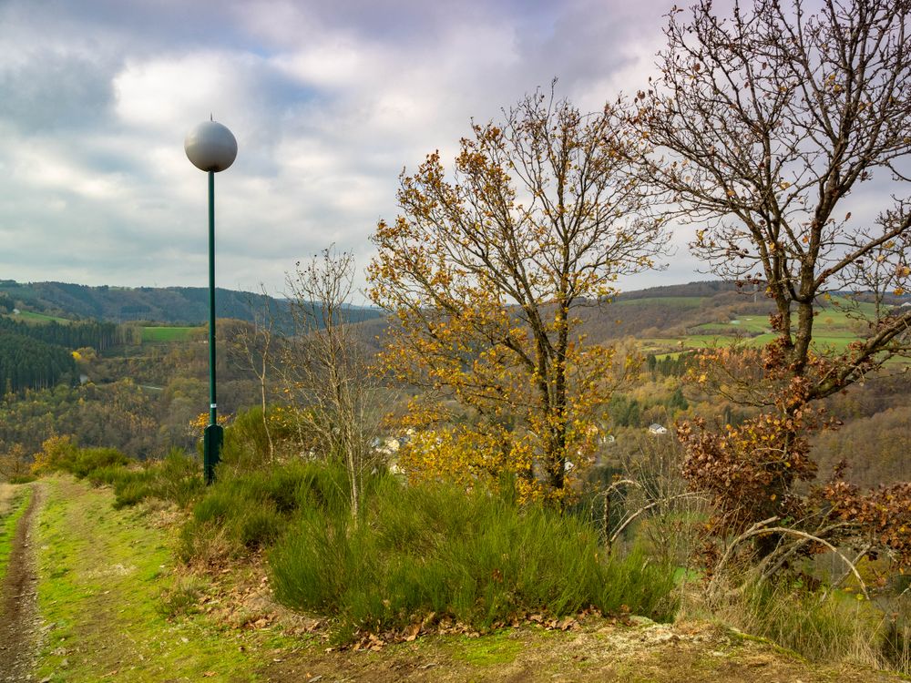
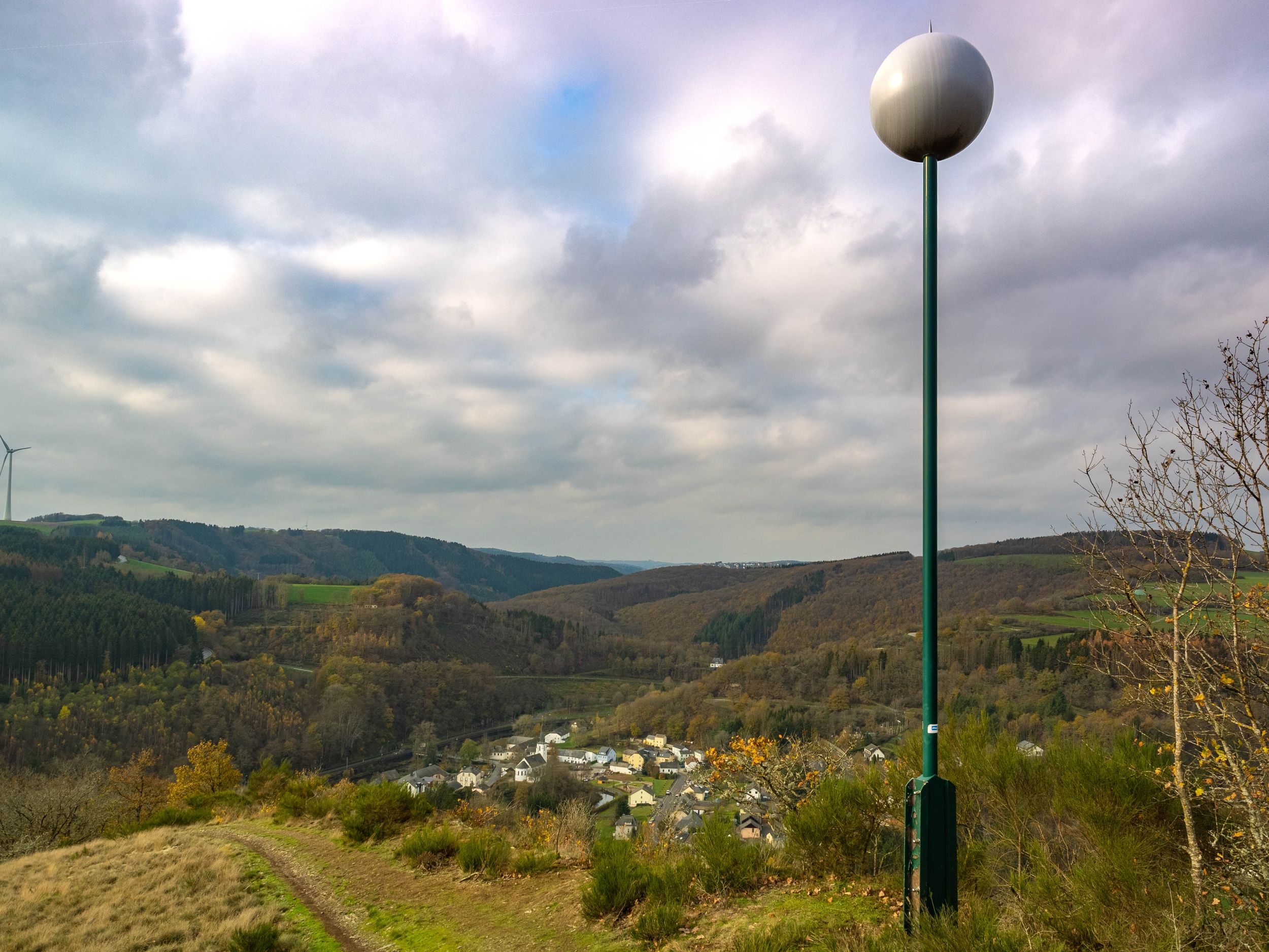
The ‘Bomm’ viewpoint in Kautenbach looks back on an impressive past - from its original construction in 1913 to its rehabilitation in 2014.

The ‘Bomm’ viewpoint is located above Kautenbach and has a special story to tell. In 1913, the then owner of the railway station, Peusch, had a local association build ‘eng Bomm’ - a spherical structure majestically enthroned on a fir tree. This striking vantage point fell victim to the Germans during both world wars. The ‘Bomm’ has been standing again since 1947 - this time on a sturdy iron structure.

Over time, the weather took its toll on the ‘Bomm’ and in the late 1990s it finally had to give way to the elements. But the memory of the ‘Bomm’ lived on in the community.

Interestingly, the field name ‘Op der Bomm’ is not recorded in official records, but the locals have long called the place by this name. Perhaps this is due to the hill, which looks like a large hemisphere from Kautenbach and gave the viewpoint its name. In 2014, the Syndicat d'Initiative, in collaboration with the municipality, seized the opportunity to rebuild the ‘Bomm’. Today, a new ‘Bomm’ towers over the landscape and continues the legacy of this symbolic place - a place that preserves the picturesque panorama of Kautenbach unchanged.

The ‘Bomm’ can only be reached on foot. Various hikes, e.g. the Éislek Pad Kautenbach and the Escapardenne Lee Trail, lead past it.

Opening hours

Please make sure to enable your Cookies in case you don't see this content.

Contact

Address: Aussichtspunkt „Bomm“ in Kautenbach
L-9663 Kautenbach
Show on map

More sites

© Visit Éislek
Sideschlee
The Sideschlee in Troisvierges is an impressive viewpoint that offers hikers a wide panoramic view of the village and the surrounding countryside.
Find out more
Doigt de Dieu
Discover the breathtaking "Doigt de Dieu" or Finger of God along well-known hiking trails like Escapardenne Lee Trail and Éislek Pad Hoscheid, offering a magnificent view from its perch above Dirbach.
Find out more
© Visit Éislek
Viewpoint Gringlee
The ‘Gringlee’ viewpoint, also known as ‘Gringlay’, offers an impressive panorama over the Sûre Valley and the majestic Bourscheid Castle. It is one of the most famous viewpoints in Luxembourg.
Find out more
© Visit Éislek
Vantage point at Fändelchen
The vantage point at Fändelchen offers a magnificent view of the town Vianden and its castle.
Find out more
© Visit Eislek
Baschleiden - Tempelskamp
The Tempelskamp viewpoint near Baschleiden offers hikers sweeping views over the Upper Sûre reservoir and the hilly landscape of the Éislek.
Find out more
© Visit Éislek
Tri-border area
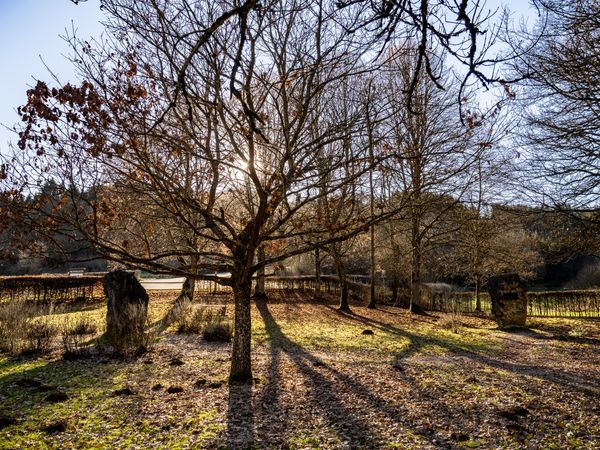
In the grounds of the Monument to Europe, large stone blocks symbolise the 6 founding members of a united Europe.
Find out more
© Visit Éislek
Quarry "Schoofsbësch"
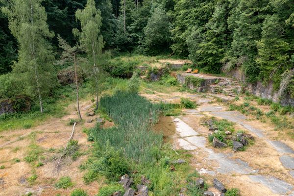
The "Schoofsbësch", a former quarry, forms the heart of a nature reserve. Several picnic tables, benches and a barbecue area are available here.
Find out more
© Visit Éislek
The picnic area Kinneksknäppchen
Kinneksknäppchen, or King's Hill in English, offers a magnificent view of the ruins of the medieval castle of Brandenbourg, in the north of Luxembourg.
Find out more
© Visit Éislek
Kiischpelt's solar circle
Kiischpelt’s solar circle is located east of Enscherange, just 50° north of the Equator and 6° east of Greenwich. It is the only point of intersection between longitude and latitude in the Grand Duchy of Luxembourg. The Sun Trail leads to the solar circle.Coordinates: N50.000000° E6.000000°
Find out more