© Visit Luxembourg
Müllerthal Germany France

Local hiking trail - W5

Starting point
Haller: Parking Rue du Hallerbach
Destination
Haller: Parking Rue du Hallerbach
Distance
10,10 km
Duration
2:55 h
Difficulty
medium
  • Condition
  • Technique
Highest point
360 Hm
Lowest point
185 Hm
Aggregated Ascent
213 Hm
Aggregated Descent
213 Hm
Circular routes Visit Luxembourg

Description

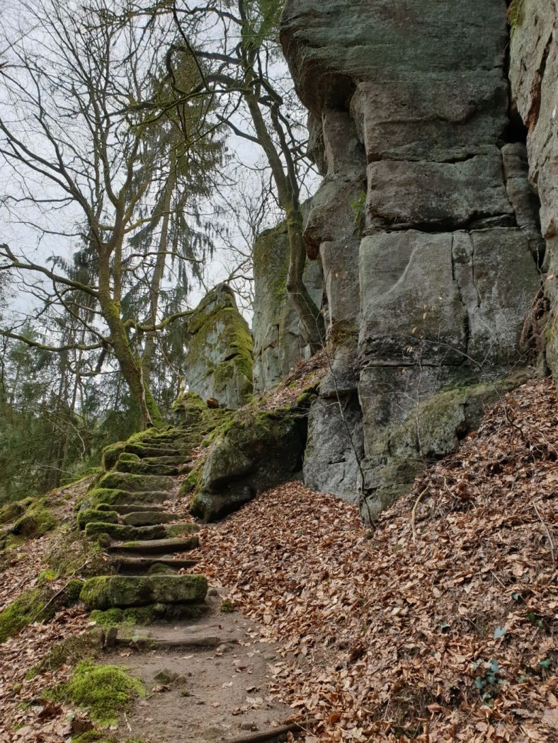
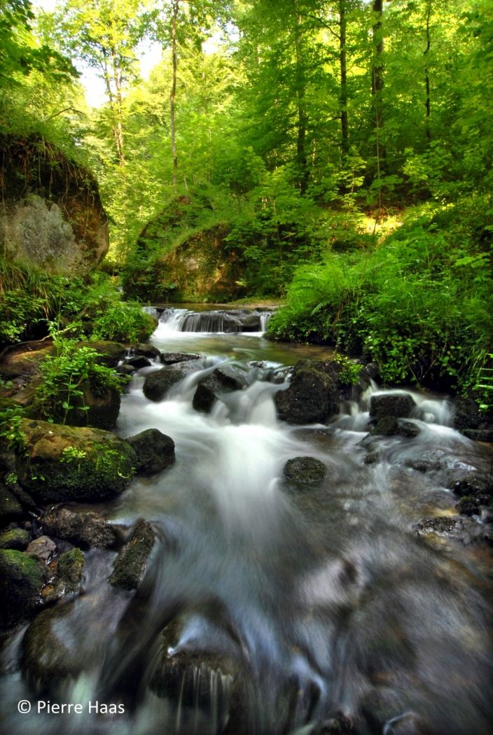
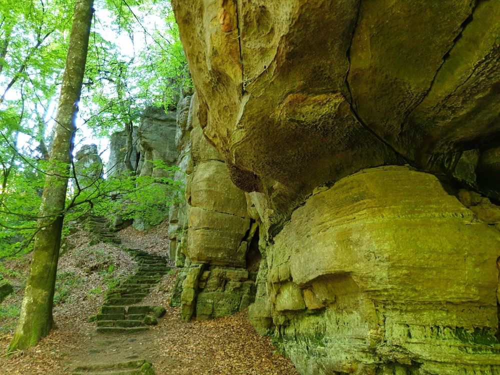
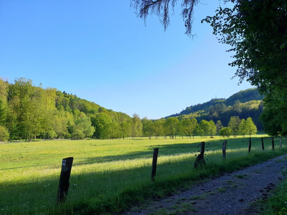
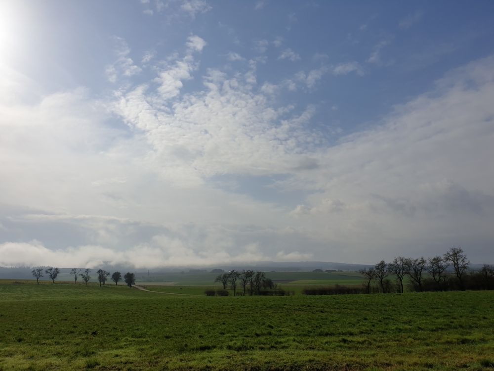
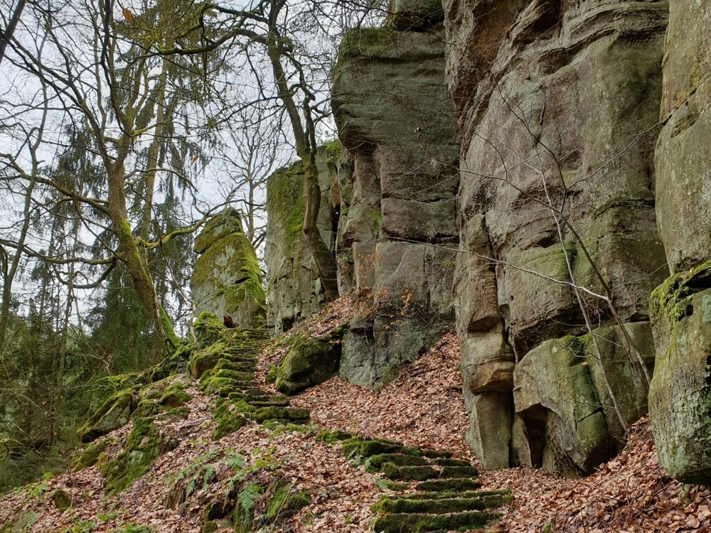
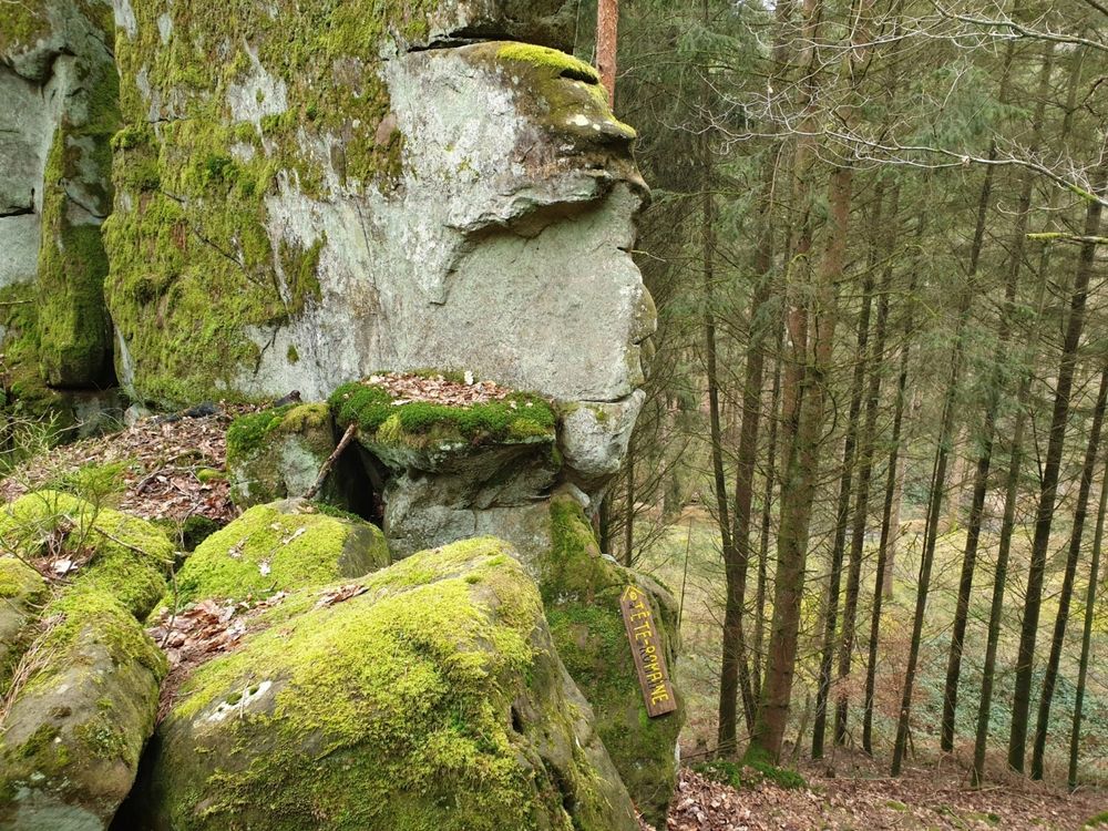
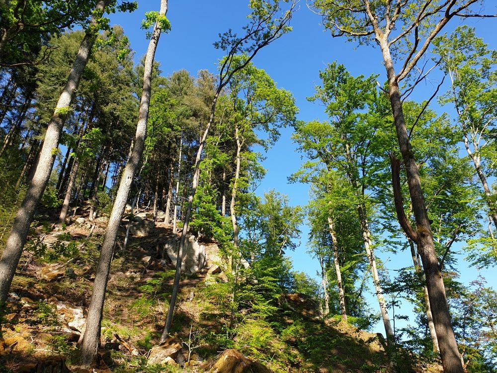
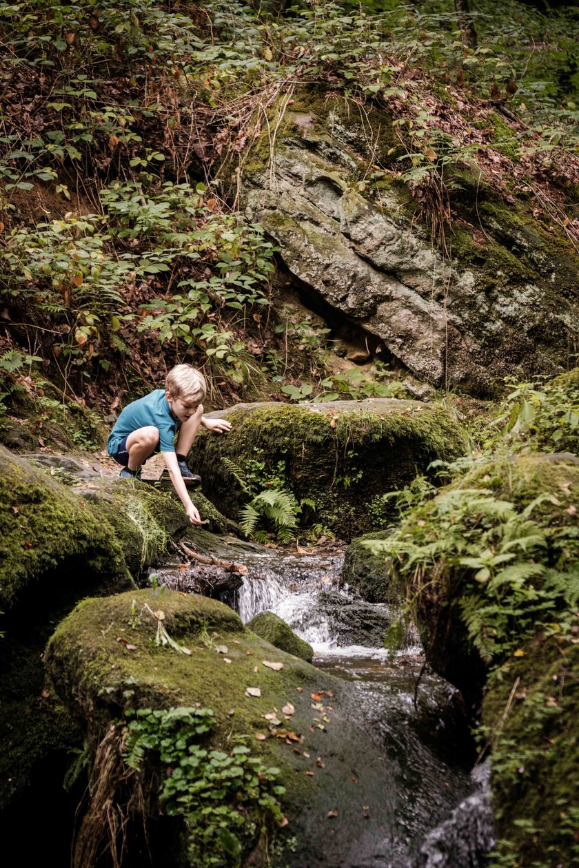
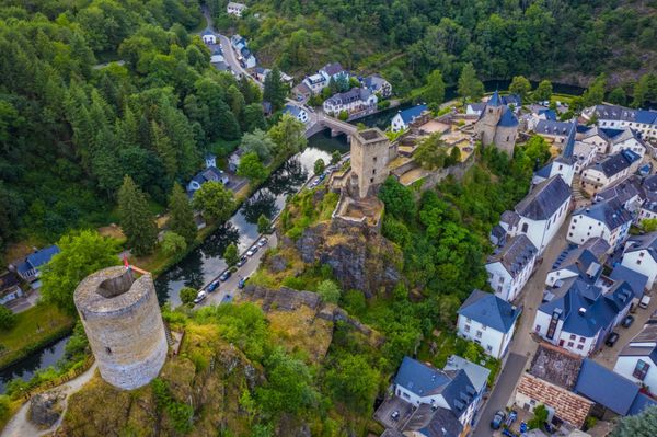
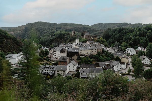
Varied tour past spectacular rock formations and along the Black Ernz , one of the most distinctive streams in the region. 

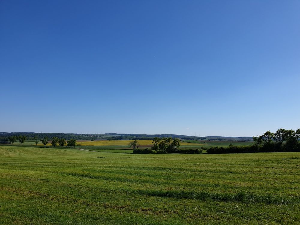
From the car park on the outskirts of Haller, this 10 km long hiking trail first descends through meadows and forests into the Black Ernz valley.

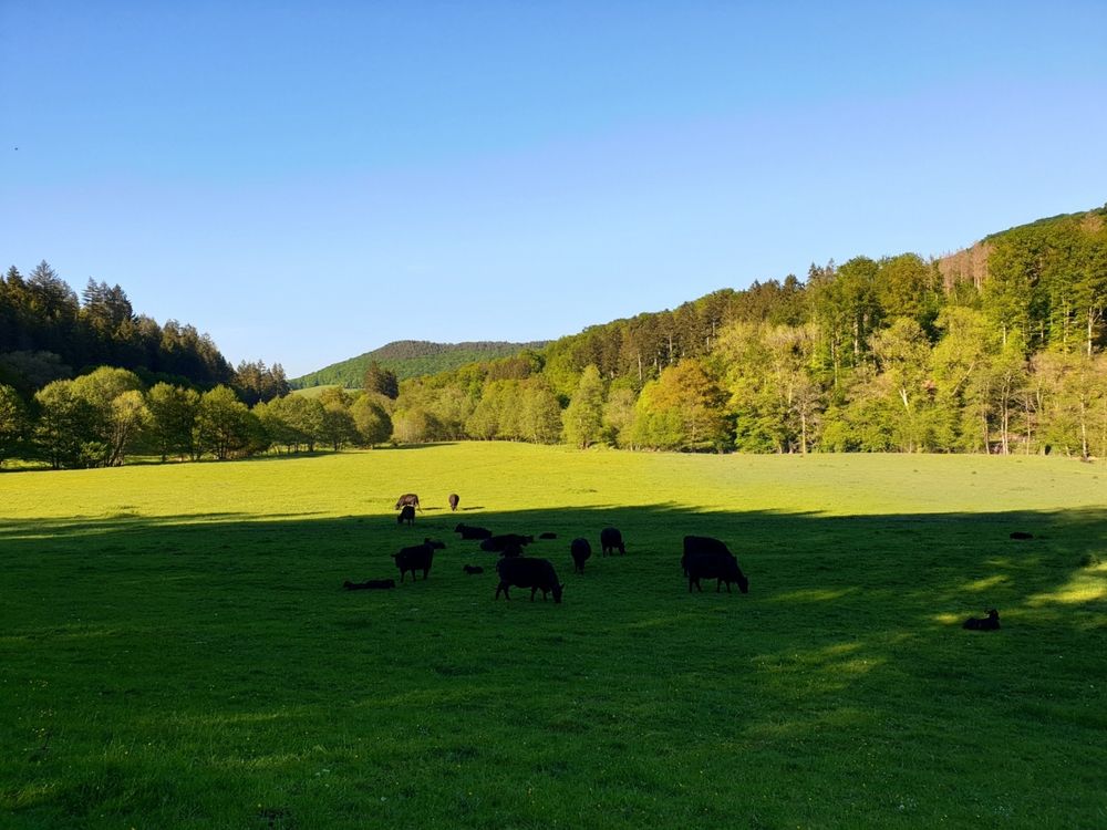
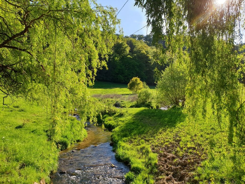
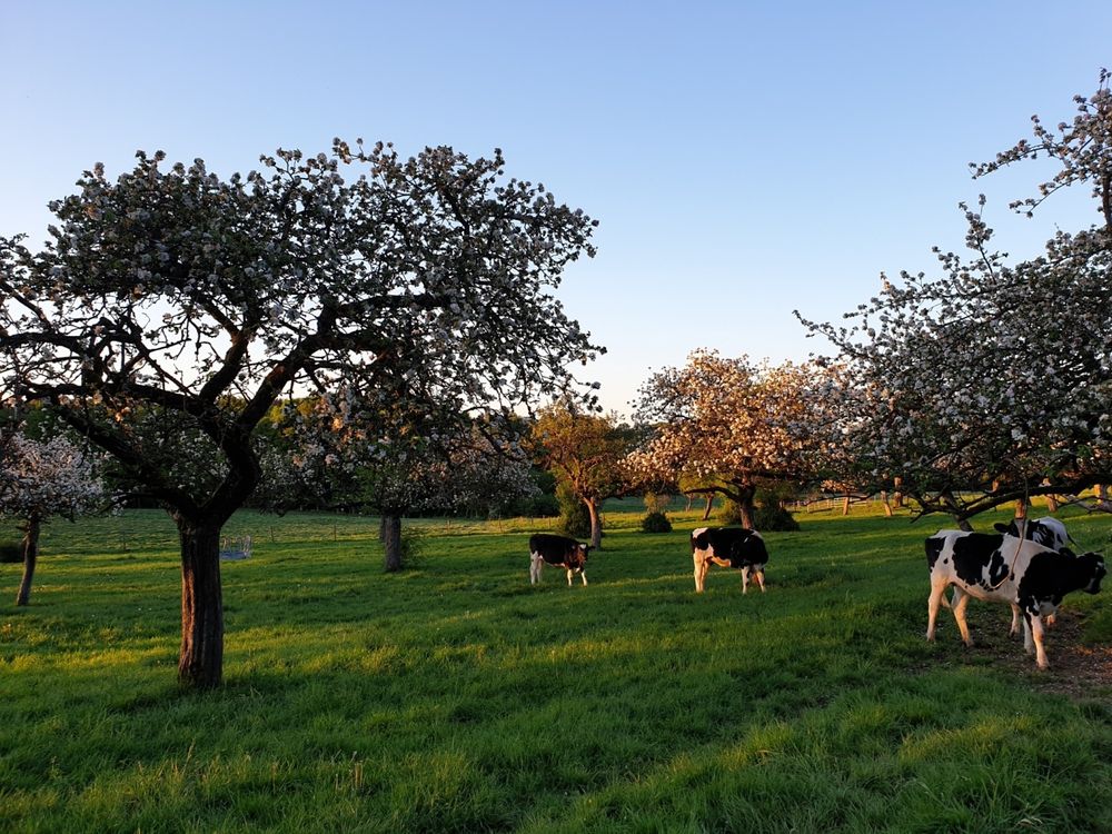
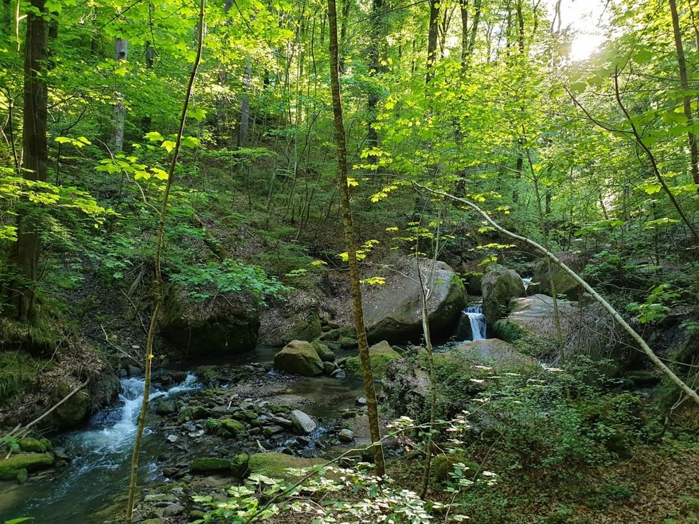
With a bit of luck, you can see the famous Black Angus cattle along the way. Meat lovers appreciate their tender meat. You finally get back to your starting point through the beautiful valley of the Halerbaach with its impressive rocks along the stream.
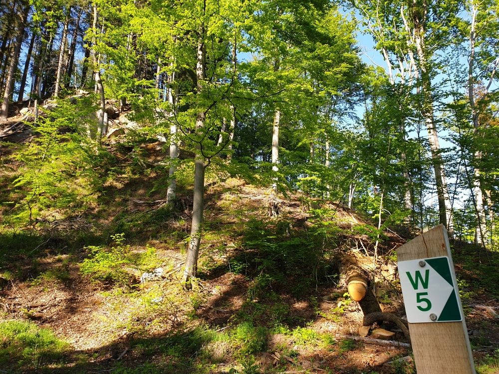


Suggestions nearby

Local hiking trail - W5

  • © PANCAKE! Photographie
    Creek valleys “Haupeschbaach and Halerbaach”
    Hike along the wild-romantic, bubbling streams Haupeschbaach and Halerbaach
    Find out more
  • Picnic area Haller
    Picnic area Haller
    Find out more

Similar hiking tours

© © Wanderbüro Saar-Hunsrück, Klaus-Peter Kappest, SaarSchleifenLand
Dream loops
"Traumschleife" Schengen without borders
Distance: 8,54 km
Duration: 3:30 h
Difficulty: medium
Find out more
© Visit Luxembourg
Distance trails
21 Station to station Bettembourg - Dudelange-Burange
Distance: 14,66 km
Duration: 3:45 h
Difficulty: medium
Find out more
© CFL, Visit Luxembourg
Distance trails
22 Station to Station Dudelange - Burange - Rumelange
Distance: 10,22 km
Duration: 3:05 h
Difficulty: medium
Find out more
© ORT Sud
Distance trails
23 Station to station Rumelange - Kayl
Distance: 12,57 km
Duration: 3:25 h
Difficulty: medium
Find out more
© Visit Luxembourg
Distance trails
25 Station to station Kayl - Schifflange - Esch-sur-Alzette
Distance: 21,71 km
Duration: 6:05 h
Difficulty: medium
Find out more
© Pulsa Pictures, ORT SUD
Distance trails
26 Station to station Esch-sur-Alzette - Belvaux-Soleuvre
Distance: 9,05 km
Duration: 2:30 h
Difficulty: medium
Find out more
© Visit Luxembourg
Distance trails
27 Station to station Belvaux-Soleuvre-Oberkorn
Distance: 5,20 km
Duration: 1:25 h
Difficulty: medium
Find out more
© ORT Sud
Distance trails
28 Station to station Oberkorn - Niederkorn
Distance: 8,69 km
Duration: 2:25 h
Difficulty: medium
Find out more
© ORT Sud
Distance trails
29 Station to station Niederkorn - Rodange
Distance: 10,12 km
Duration: 2:55 h
Difficulty: medium
Find out more