Circular routes Visit Luxembourg
Description
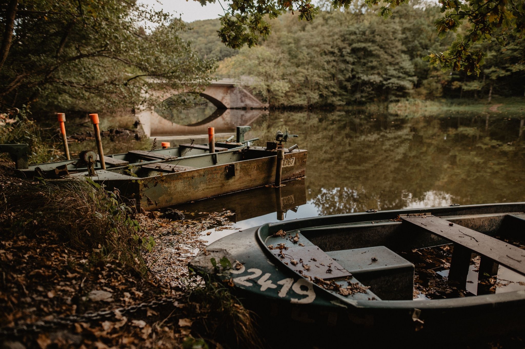
To the stone bridge
This hike starts in Bilsdorf and takes you past the Misärshaff. Now you have already completed a good part of the trail. The tour continues down to the bridge, over the Sûre, which is slowly damming up, over wooden footbridges and through a nature and bird reserve.
Signposting

Directions
The hiking trail is marked in both walking directions. Please follow the white-blue "RB 6" waymarks.
For your safety
Weather conditions such as wetness, ice and wind can make a tour difficult. The information given refers to optimal conditions.
Equipment
Sturdy shoes and something to drink.
Journey
Public transport:
Parking:
Use the free public transport and travel climate-friendly by bus and train.
Nearest bus station is (170 m): "Riesenhafferwee"
www.mobiliteit.lu
Parking:
A parking place is located directly at the starting point.


 This website uses technology and content from the Outdooractive Platform.