Description
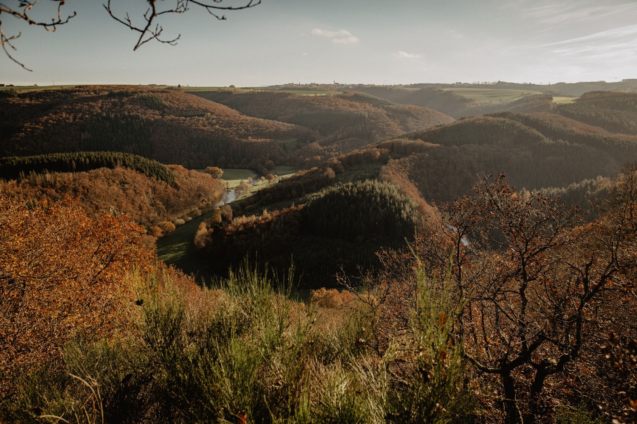
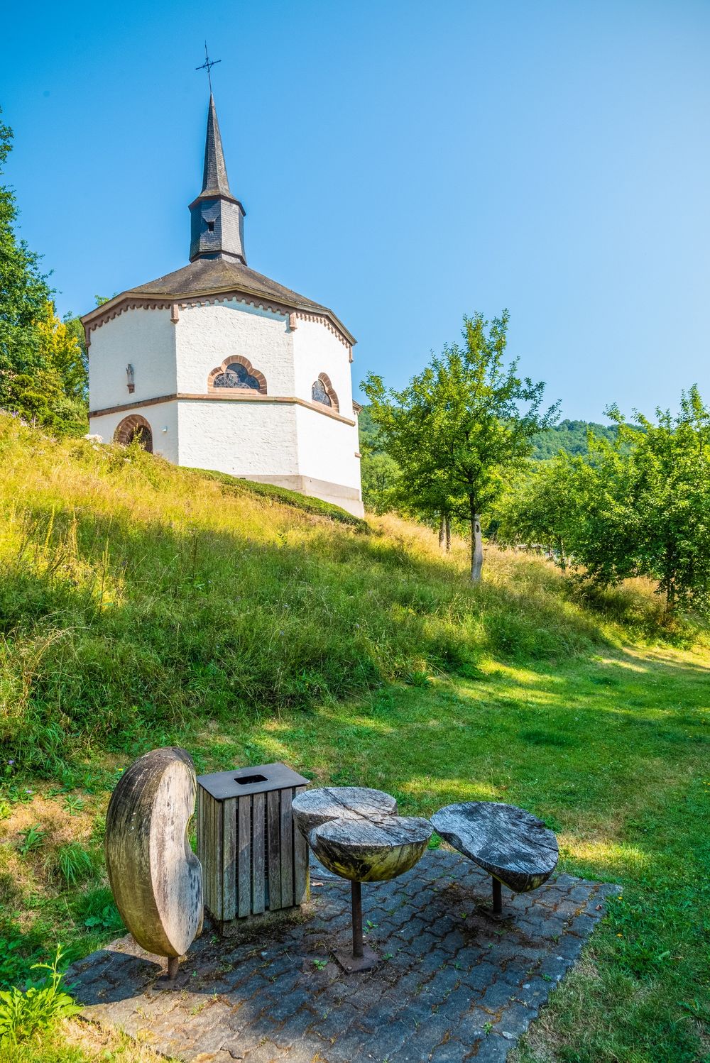
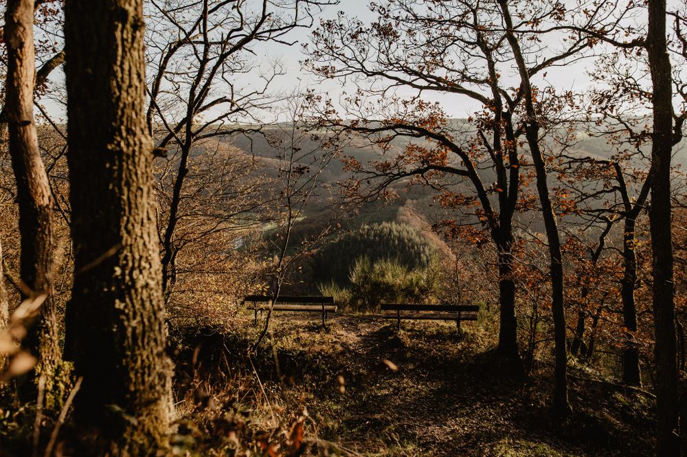
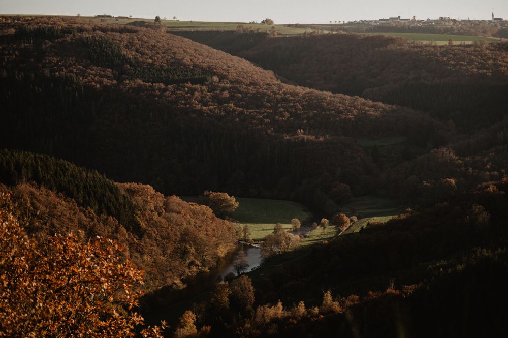
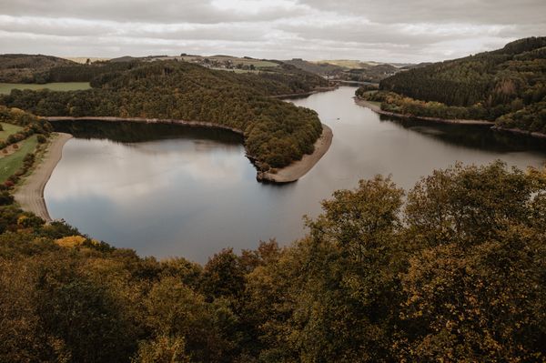
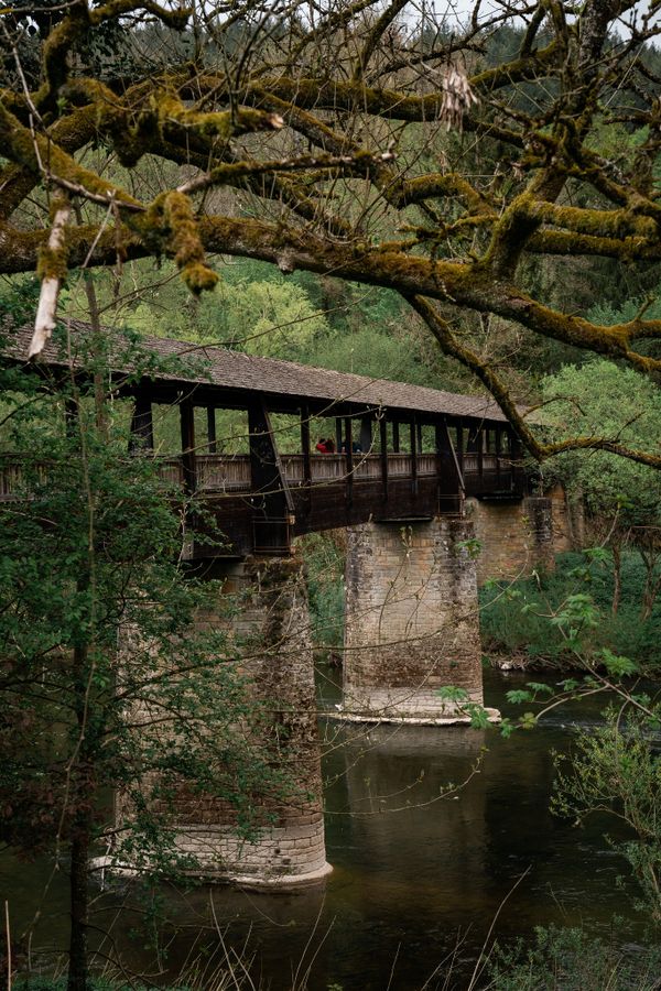
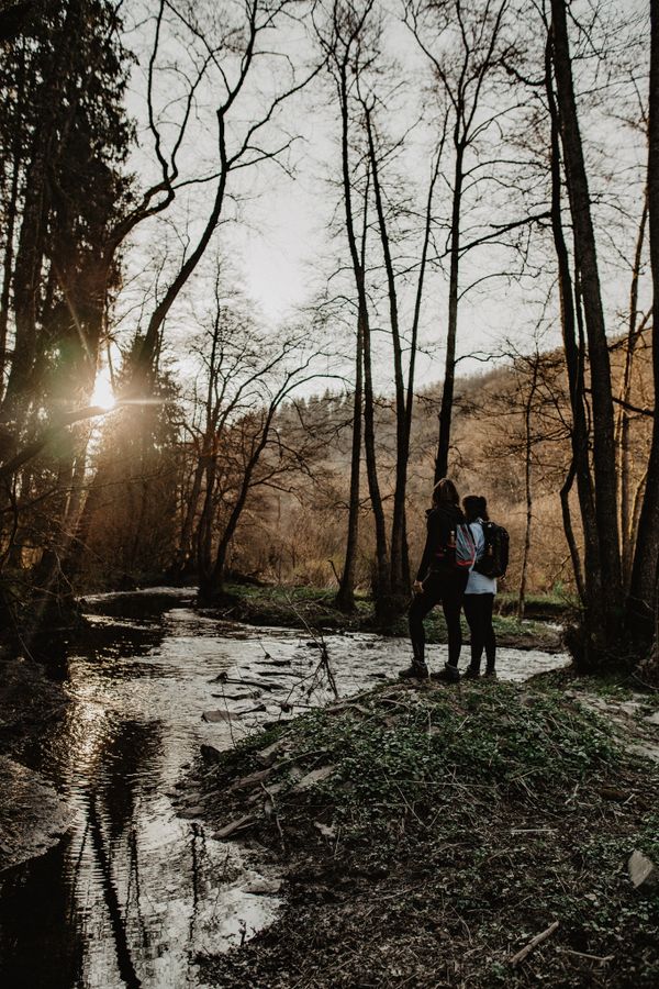
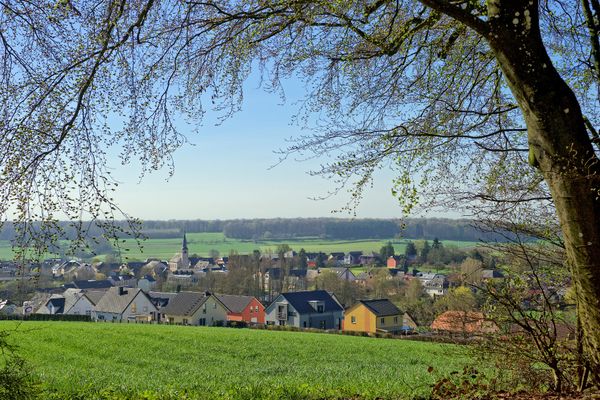
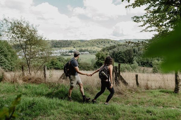
Observe the loops of the Sûre River, sometimes from a distance, sometimes form very close, sometimes you look at it from above and sometimes from the side. The viewpoints Gruewen and Bei der Beetebach change your perspective. Afterwards, you can discover the octagonal chapel St. Kunigunde in Heiderscheidergrund. Whoever counts the eight corners first is the winner and can continue the hike!
Signposting
Directions
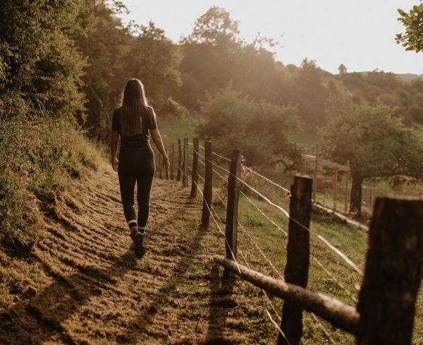
The hiking trail is marked in both walking directions. Please follow the Éislek waymarks.
For your safety
Weather conditions such as wetness, ice and wind can make a tour difficult. The information given refers to optimal conditions.
Equipment
Sturdy shoes and something to drink.
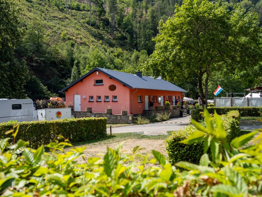
Journey
Use the free public transport and travel climate-friendly by bus and train.
Nearest bus station is: "Kierfecht"
www.mobiliteit.lu
Parking:
A parking place is located directly at the starting point.


 This website uses technology and content from the Outdooractive Platform.