© Visit Luxembourg
Müllerthal Germany France

Local hiking trail - W8

Hunting Season 2025/26 — Check for hunts

Autumn is here, and that means hunting season has begun! From mid-October to January/February, hunters are active across the country. Stay safe by checking hunt dates in your area on our Map. 

Click on Map in the Header > Services > More > Hunting.

Starting point

Mullerthal: Touristcenter Heringer Millen

Destination

Mullerthal: Touristcenter Heringer Millen

Distance
12,57 km
Duration
3:45 h
Difficulty
difficult
  • Condition
Highest point
351 Hm
Lowest point
209 Hm
Aggregated Ascent
243 Hm
Aggregated Descent
244 Hm
Circular routes Visit Luxembourg

Description

Refreshment stops available

Dreamlike hike - ideal if you want to connect the Schiessentümpel and the tufa spring.

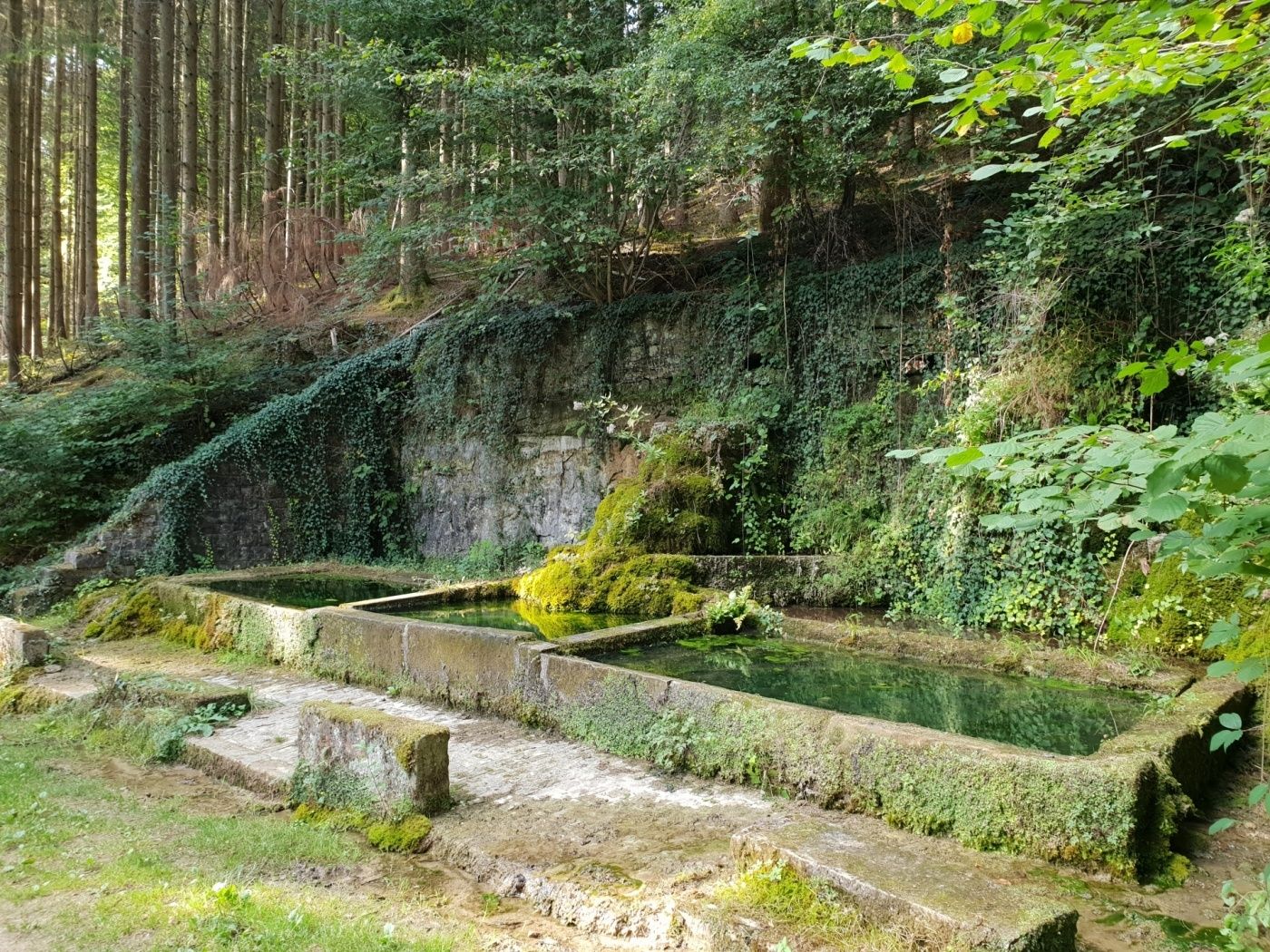
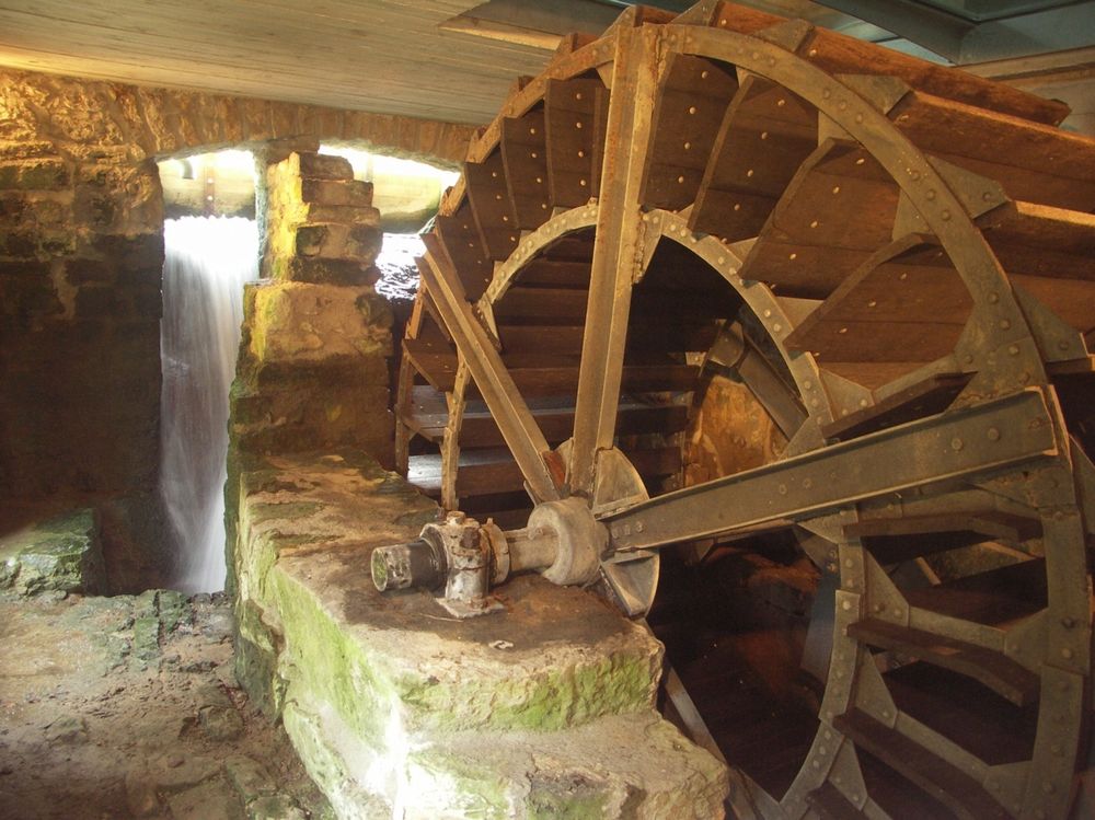
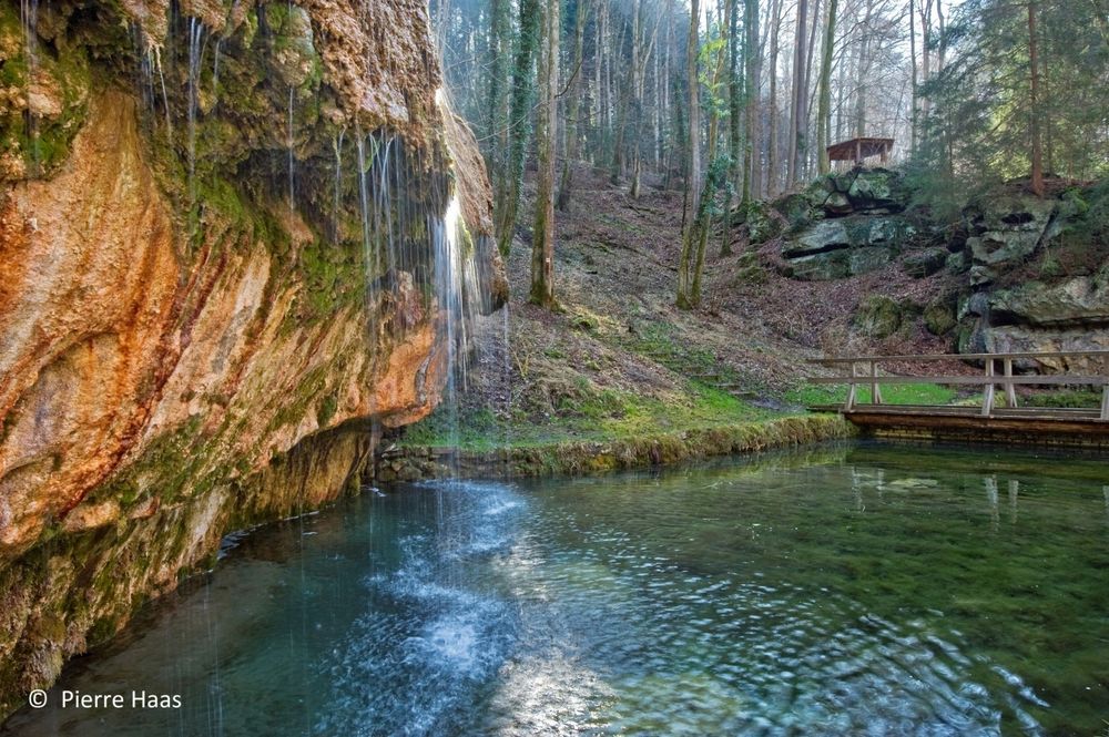
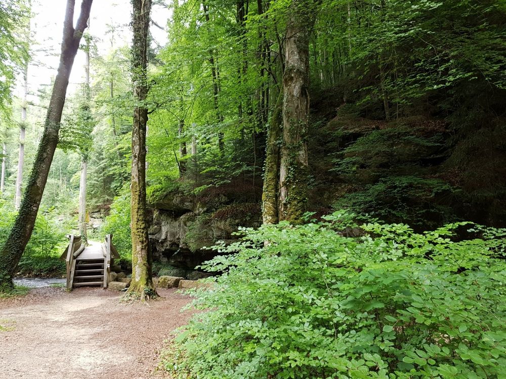
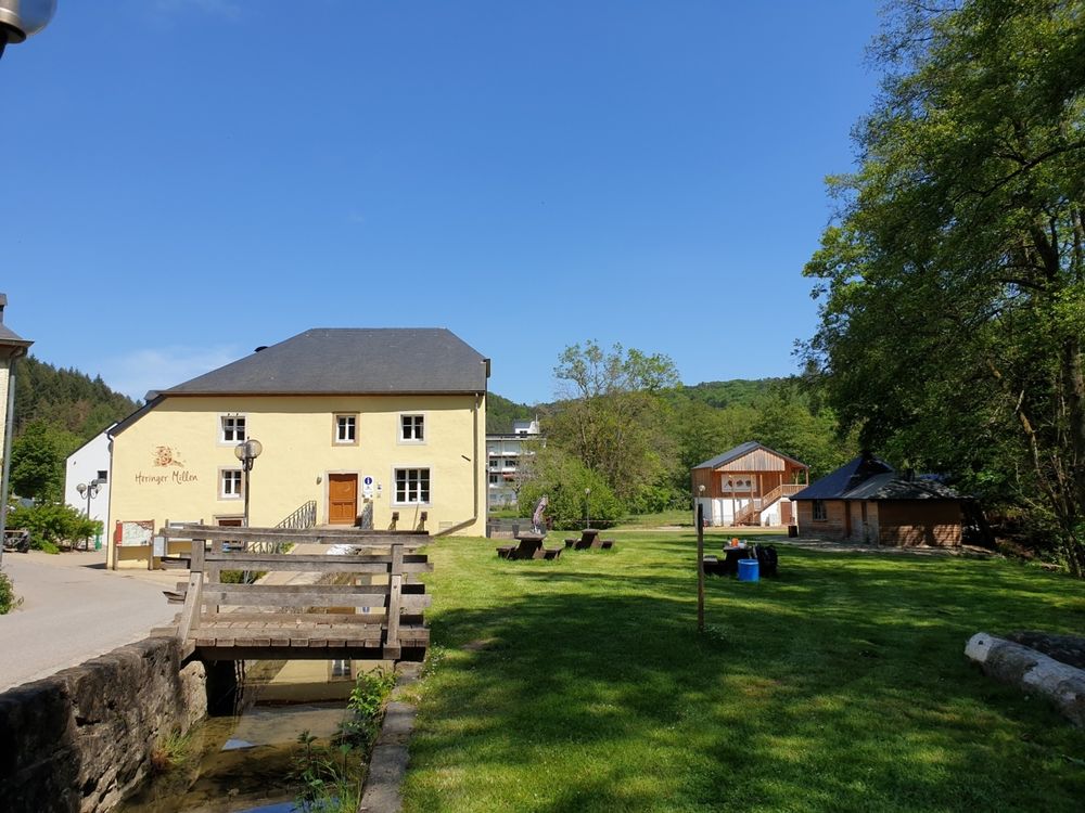
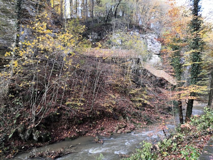
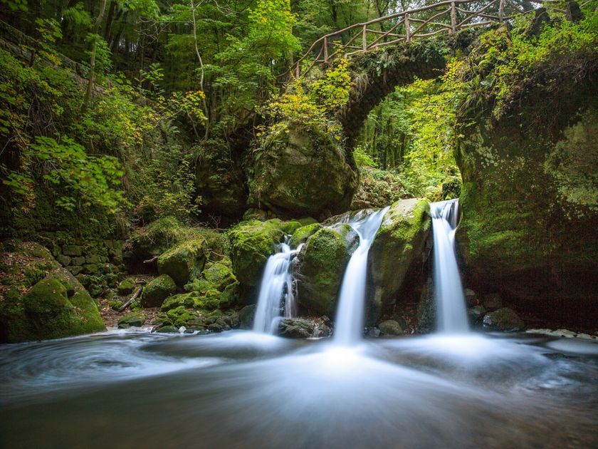
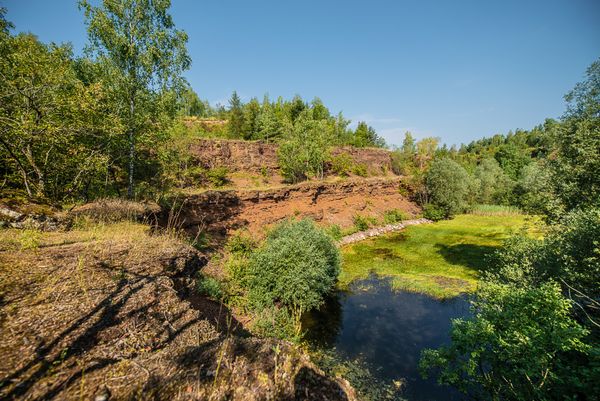
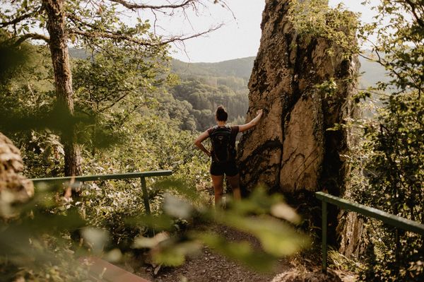
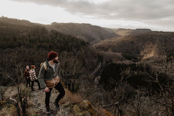
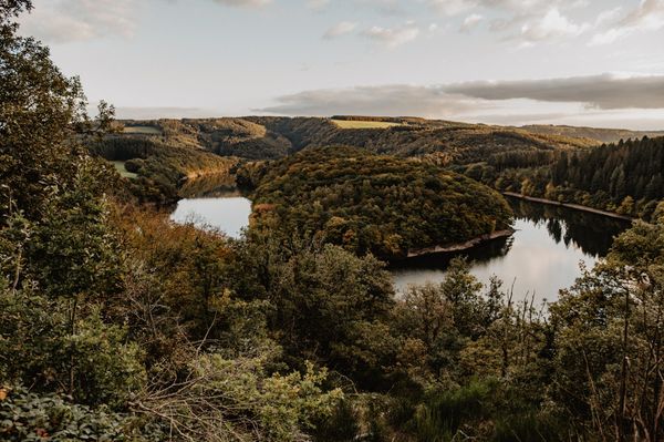
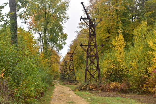
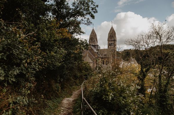
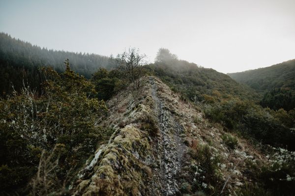
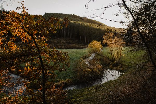
This hike starts at the Heringer Millen in Mullerthal. After a gentle climb through the forest, the path leads over the open plateau landscape and past the golf course to Christnach, which is considered a model village due to its well-preserved rural architecture. Over wide fields and gentle hills, the path finally leads back into the forest and down into the romantically wild valley of the Schwarze Ernz. There awaits the first highlight of the route: the tufa spring, a colorful moss-covered rock over which water cascades into a crystal-clear basin. Always along the river, at the end of the hike you reach the absolute highlight and best-known landmark of the region: the romantic Schiessentümpel with its old stone bridge and waterfall.

Suggestions nearby

Local hiking trail - W8

  • Trap - Schiessentümpel staircase
    Trap - Schiessentümpel staircase
    Find out more
  • Schiessentümpel / Schéissendëmpel waterfall
    Schiessentümpel / Schéissendëmpel waterfall
    Find out more
  • Picnic area Christnach
    Picnic area Christnach
    Find out more
  • © Petite Suisse Country Club
    Restaurant Petite Suisse Country Club
    Restaurant Petite Suisse Country Club
    Find out more

Similar hiking tours

© Visit Éislek, Visit Éislek
Éislek Pied
Éislek Pad Troisvierges
Distance: 19,34 km
Duration: 5:45 h
Difficulty: difficult
Find out more
© Visit Éislek, Visit Éislek
Circular routes
Circuit du Lac (western part)
Distance: 26,71 km
Duration: 8:20 h
Difficulty: difficult
Find out more
© Visit Luxembourg
Thematic paths
Bunker Circular Walk
Distance: 13,84 km
Duration: 4:30 h
Difficulty: difficult
Find out more
© D. Ketz, Eifel Tourismus GmbH, D. Ketz
NaturWanderPark Delux
Circular walk NaturWanderPark delux: Felsenweg 2 (D-Bollendorf/L-Beaufort)
Distance: 20,29 km
Duration: 6:00 h
Difficulty: difficult
Find out more
© Visit Éislek, Visit Éislek
Éislek Pied
Éislek Pad Clervaux
Distance: 13,68 km
Duration: 4:05 h
Difficulty: difficult
Find out more
© Visit Éislek, Visit Éislek
Circular routes
Local hiking trail KI 8 - Kautenbach
Distance: 17,03 km
Duration: 5:35 h
Difficulty: difficult
Find out more
© Visit Éislek, Visit Luxembourg
Éislek Pied
Éislek Pad Bourscheid
Distance: 14,81 km
Duration: 5:05 h
Difficulty: difficult
Find out more
© Visit Éislek, Visit Éislek
Éislek Pied
Éislek Pad Kautenbach
Distance: 14,44 km
Duration: 4:59 h
Difficulty: difficult
Find out more
© D. Ketz, Eifel Tourismus GmbH, D. Ketz
NaturWanderPark Delux
Circular walk NaturWanderPark delux: Felsenweg 3 (D-Ferschweiler/L-Berdorf)
Distance: 24,66 km
Duration: 6:30 h
Difficulty: difficult
Find out more
outdooractive This website uses technology and content from the Outdooractive Platform.