
Description
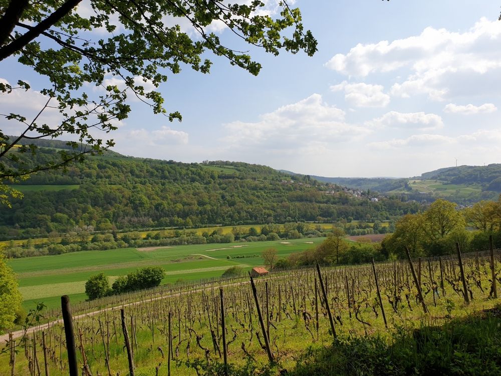
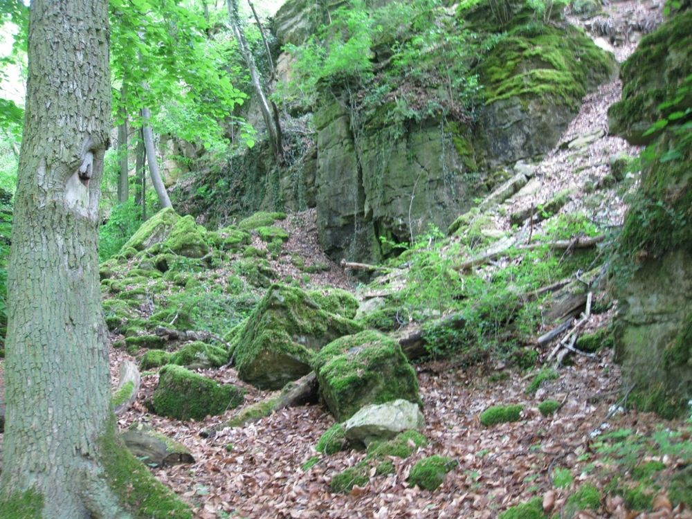
The hiking route reveals the two sides of the Hëlt: the moist, rocky northern side with fascinating rock formations and the sun-warmed southern side, where vines and orchids grow.
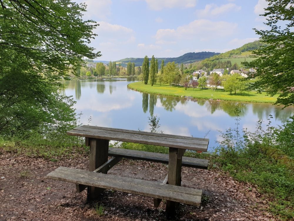
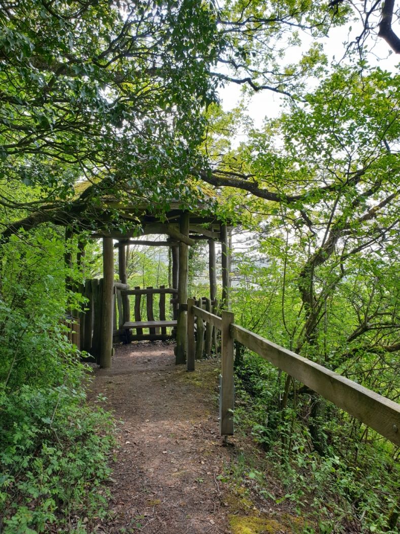
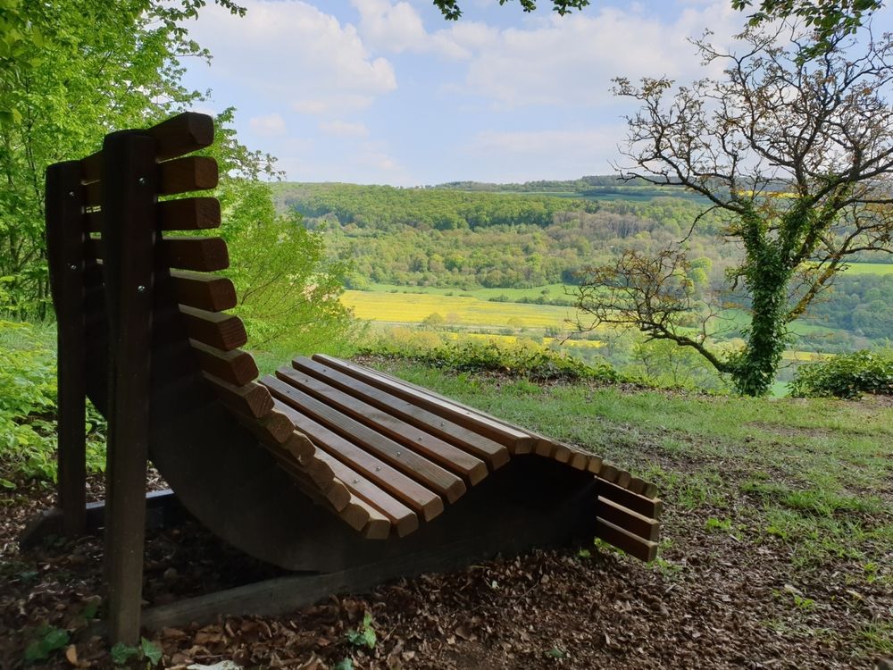
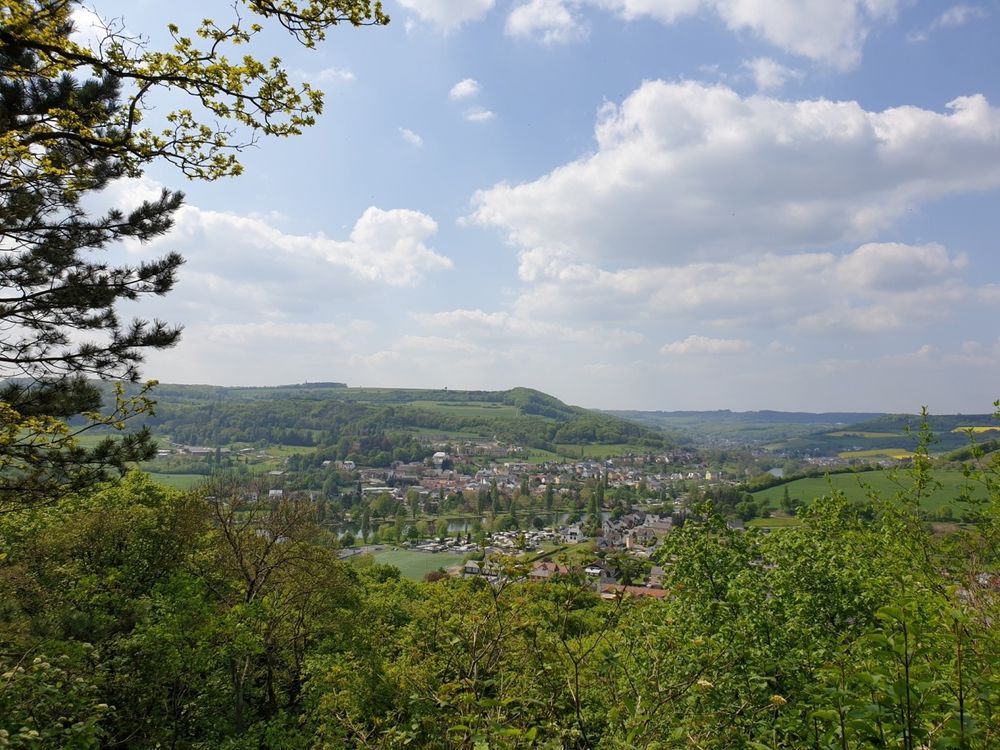
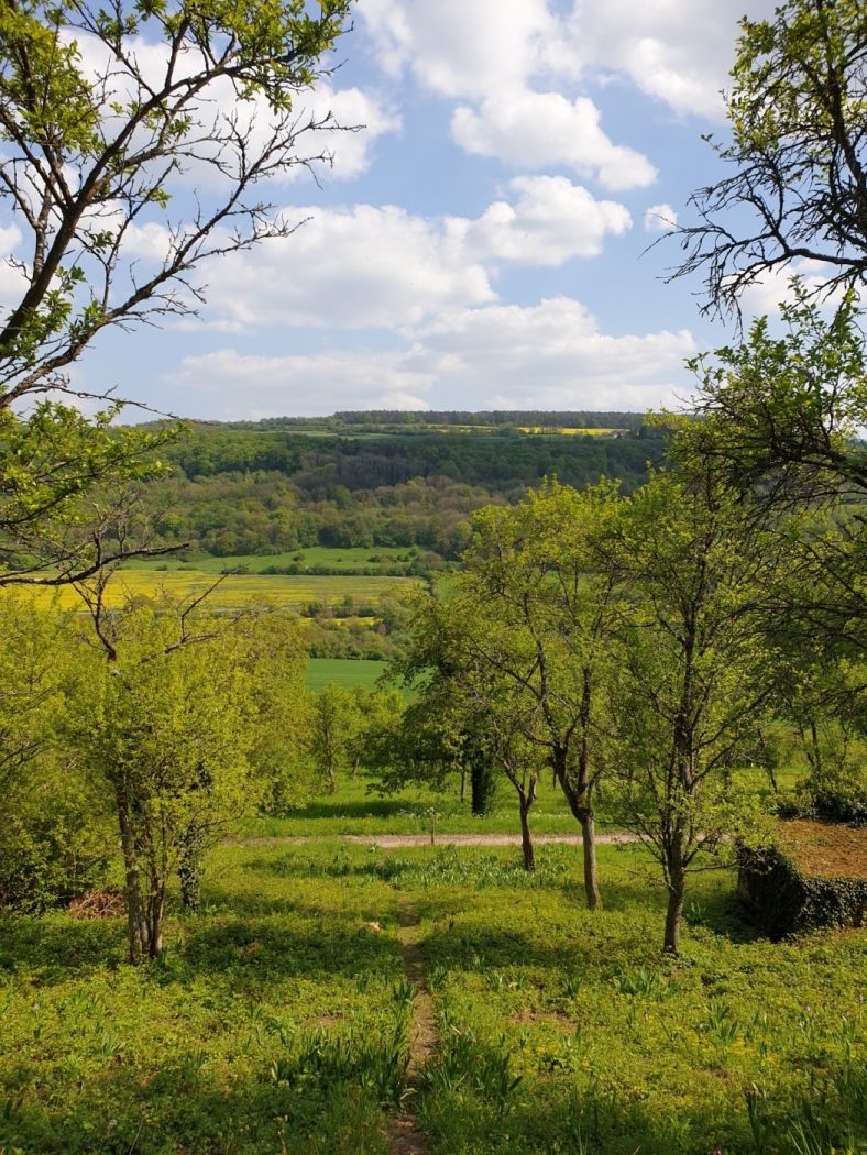
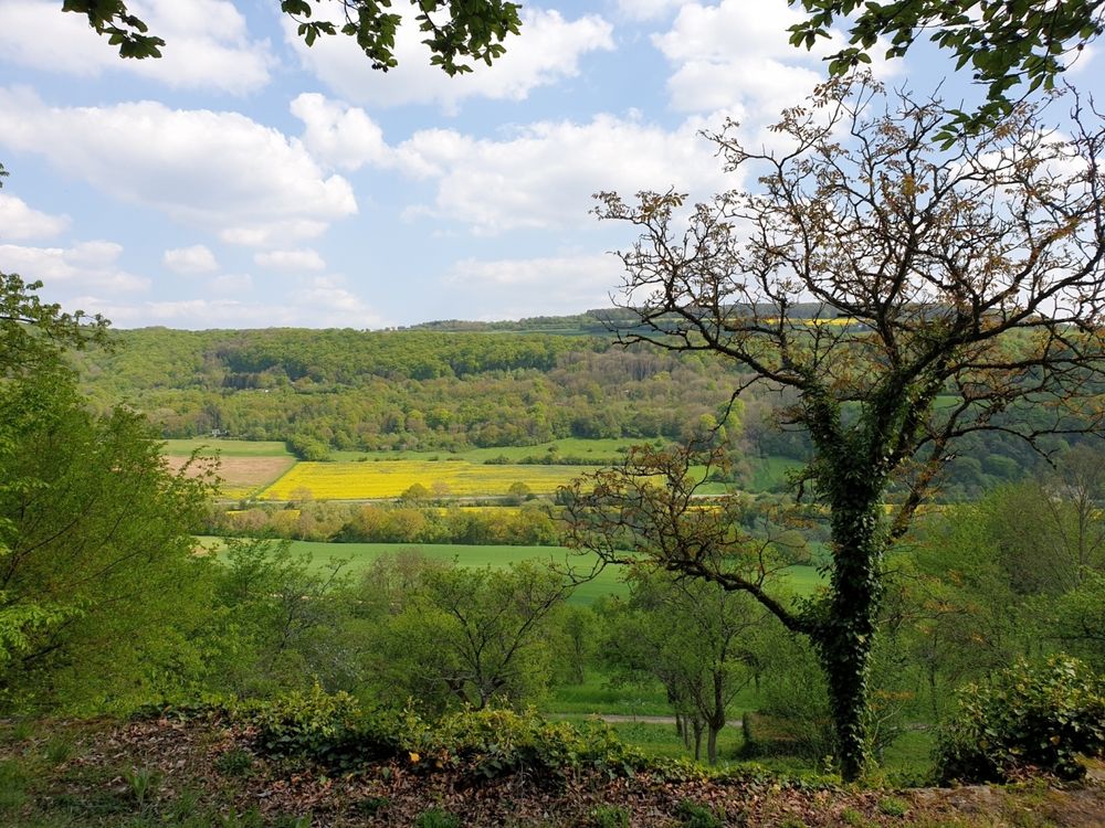
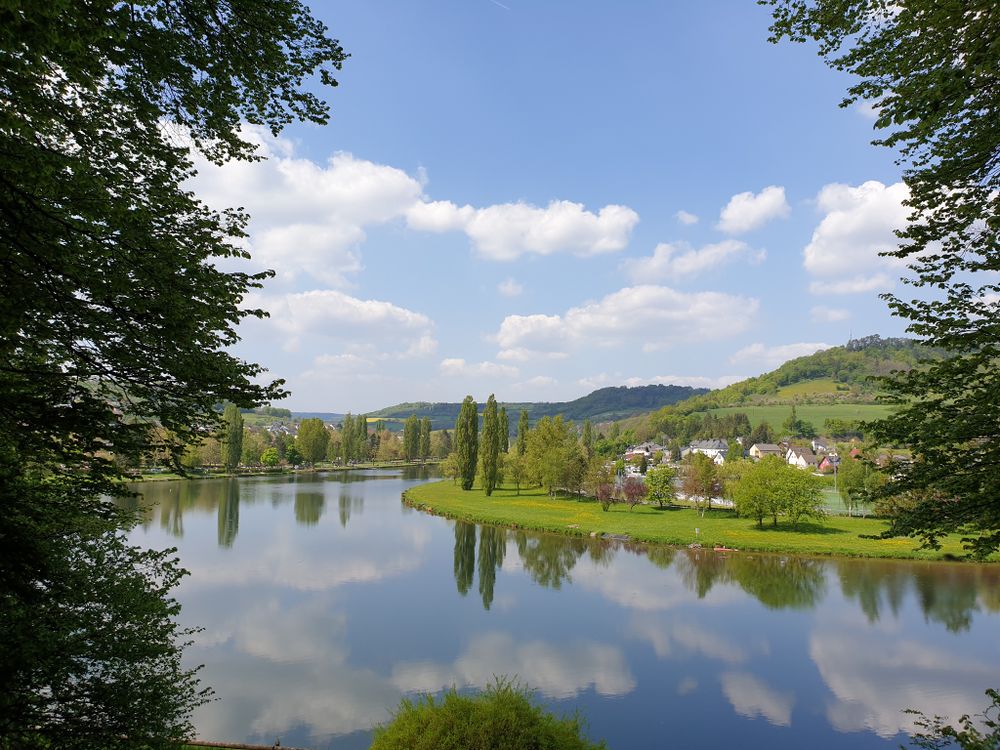
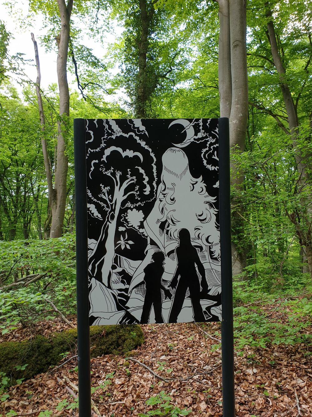
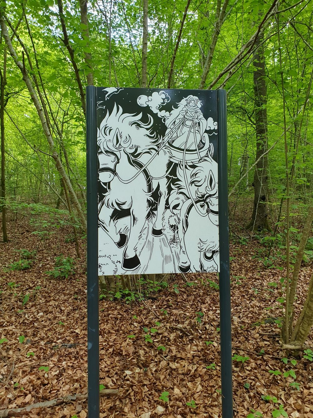
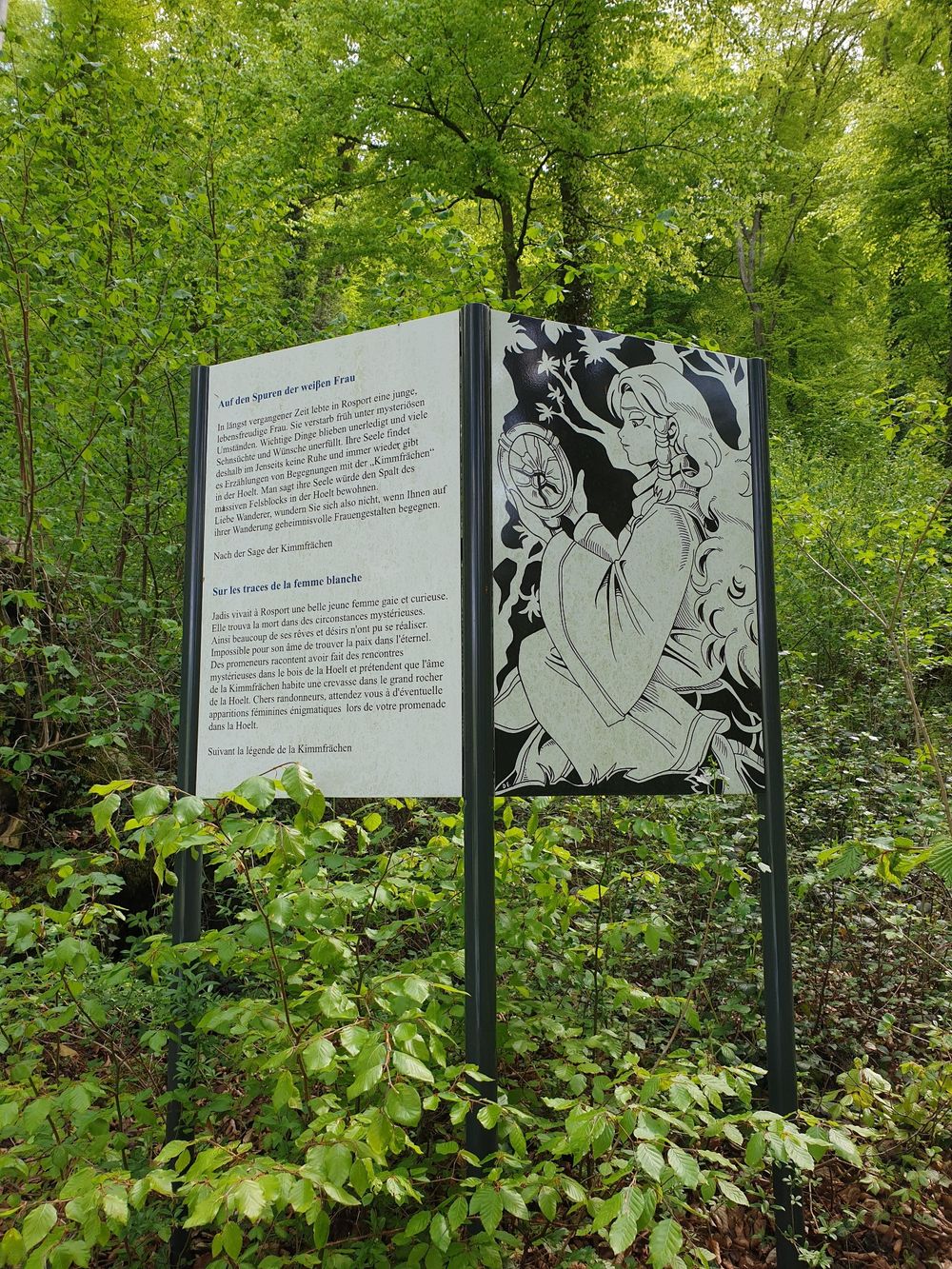
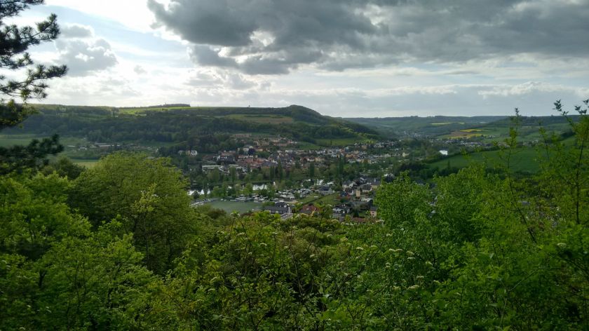
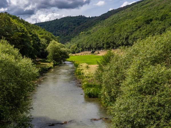
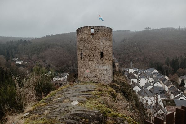
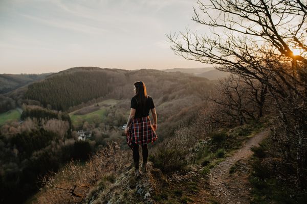
Surrounded by water on all sides, the Hëlt rises high above the Sauertal. The varied hike leads around the Hëlt and nearly to its highest point. From the starting point at the Sauer, it goes through an enchanted forest with spectacular dolomite rock formations. According to legend, a white lady sometimes appears in the area of the Hëlt in a rock crevice called 'Kimmhäischen.' Later, the route leads along vineyards with traditional dry stone walls and over blooming orchid terraces. The hike offers beautiful views of the Sauertal, especially from the pavilion near the highest point of the Hëlt. The first part of the route requires surefootedness.
Signposting

For your safety
The first part of the route requires surefootedness.
Equipment
Sturdy footwear and something to drink.
Journey
Nearest bus stop: Rosport, Rue Neuve (300m)
Parking:
Parking Sauerpark


 This website uses technology and content from the Outdooractive Platform.