Description
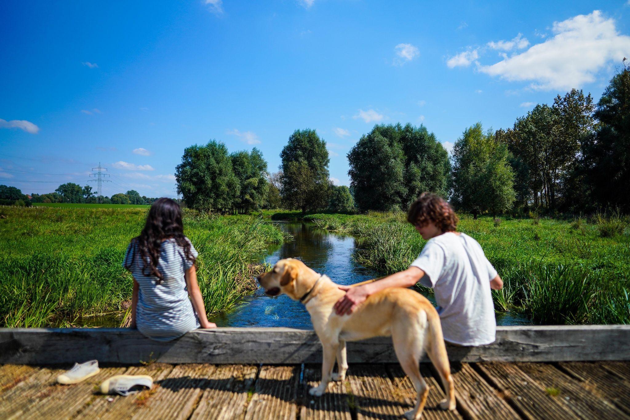
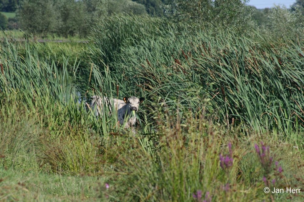
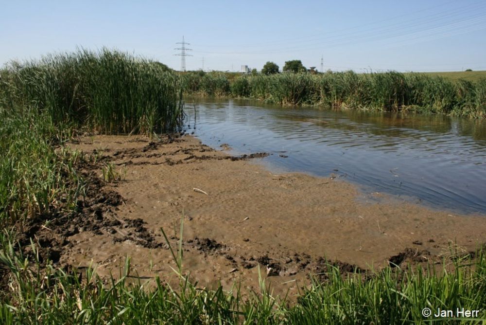
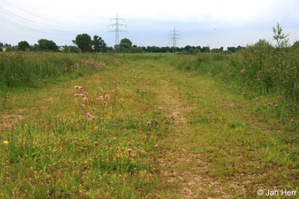
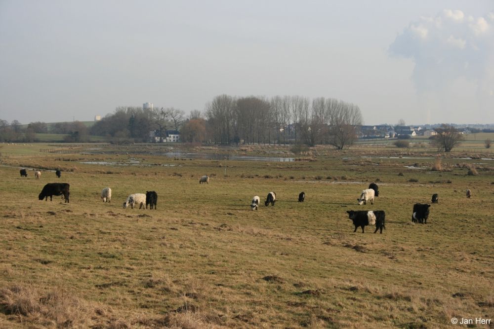
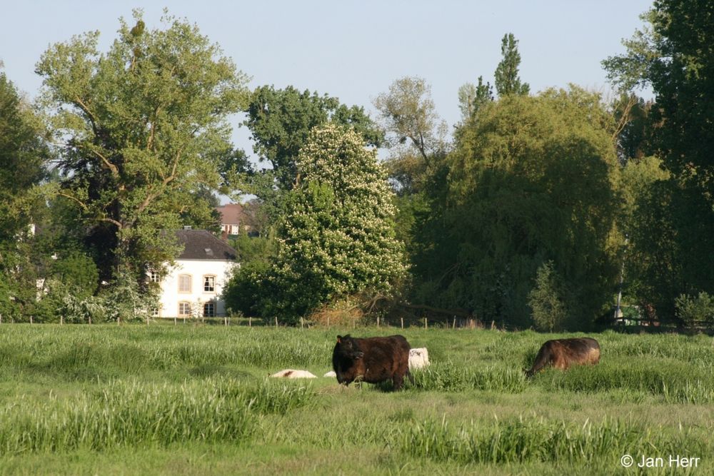
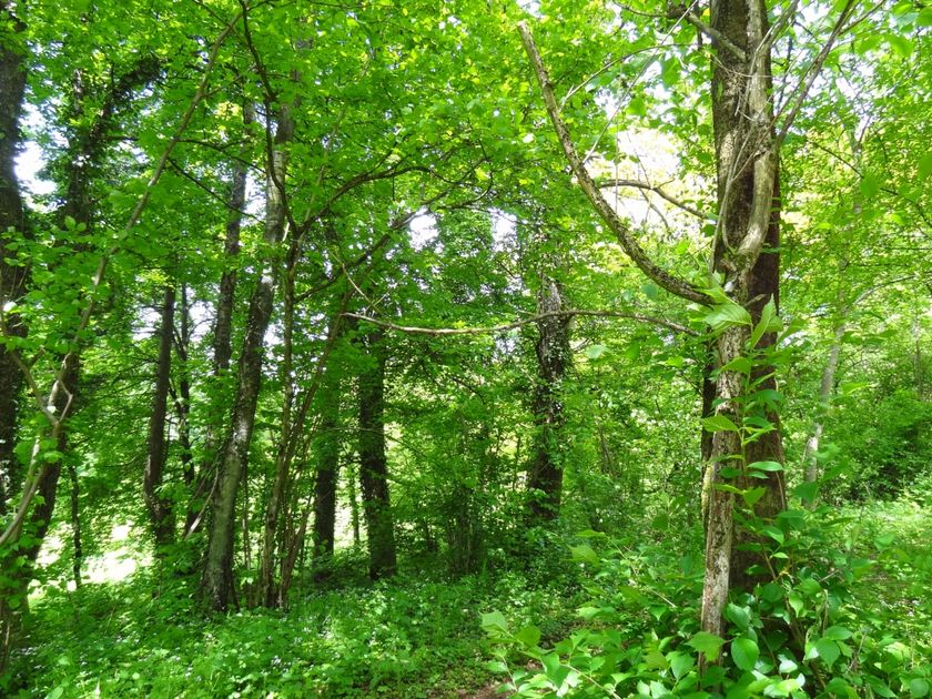
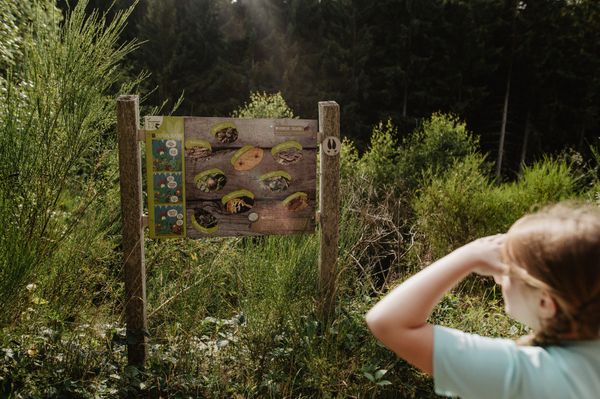
This educational trail invites the whole family to discover the Alzette valley and learn about the forest along the way. No textbooks, no lectures—the landscape is a life-size laboratory. You can learn about the alluvial process and see all kinds of protected birds that are part of the European Natura 2000 network. The spectacular results of the watercourse restoration project will leave you speechless!
The starting location is close to the water purification plant.
Signposting

Directions
The starting location is located roughly 150-200 meters away from the parking spot; follow the footpath north accross to the water purification plant, then head right.
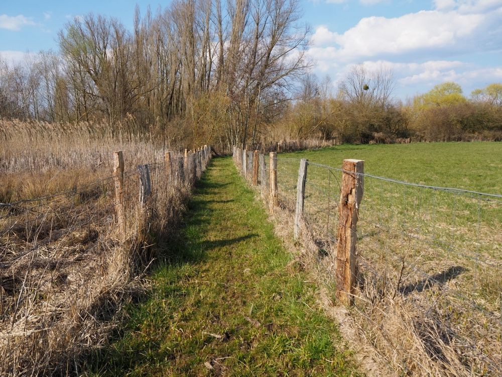
Please follow the green signs with the white arrows beginning from the starting location.
For your safety
Please remember to wear sturdy shoes and appropriate clothing in the event of bad weather.
Equipment
Please bring enough food and drinking water for the trip.
Journey
The educational trail is situated about 9 minutes on foot from the Schifflange train station
Getting there:
The starting point is at a public parking lot
Parking:
Public parking available at the start


 This website uses technology and content from the Outdooractive Platform.