© Visit Luxembourg
Mosel Germany France

Auto-pédestre trail Wasserbillig

Starting point

Train station, Wasserbillig

Destination

Train station, Wasserbillig

Distance
7,86 km
Duration
2:05 h
Difficulty
easy
  • Condition
Highest point
234 Hm
Lowest point
130 Hm
Aggregated Ascent
177 Hm
Aggregated Descent
177 Hm
Circular routes Visit Luxembourg

Description

Refreshment stops available
A beautiful landscape awaits you on this hike around the lowest point in the country!

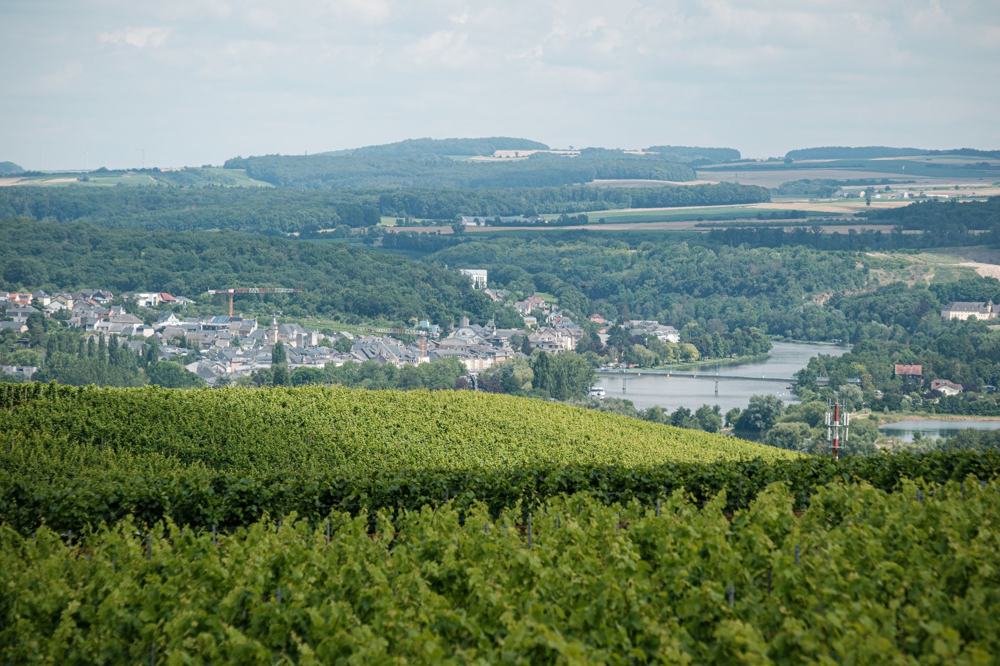
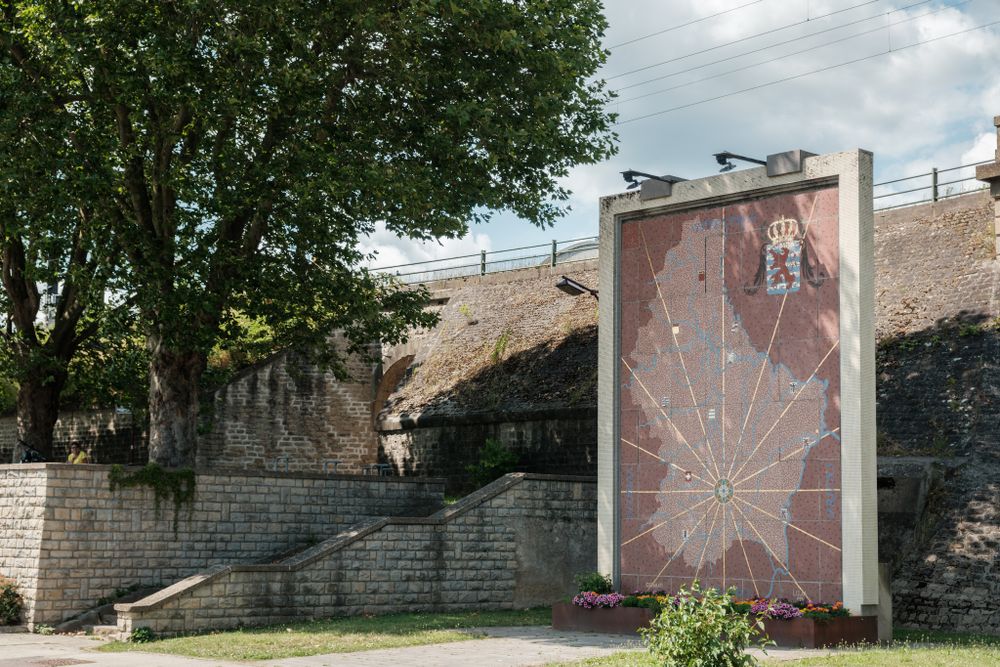
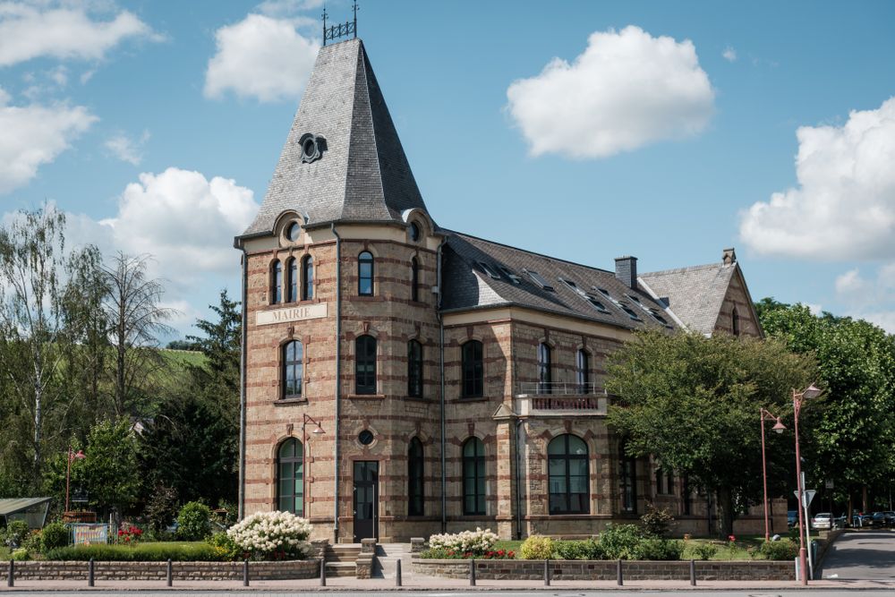
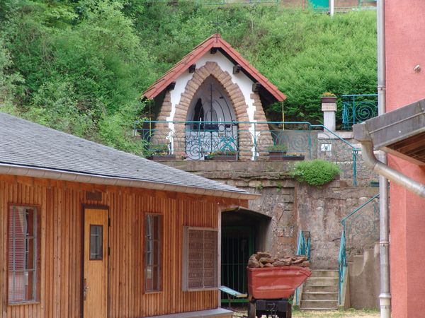
Right in the center of the historic village of Wasserbillig on the German-Luxembourg border, you can relax at the mouth of the Sauer and Moselle rivers. Or you can start the scenic tour straight away. At the start of this hike, the beautiful former station building, now the seat of the municipal administration, immediately catches the eye. From the station, the route leads uphill through Rue Duchscher towards Bocksberg with wonderful views of the Moselle and Sauer valleys. Along the highway, past a water tank with information about the painter Jean-Pierre Beckius, you return to the starting point via a vineyard path.

Similar hiking tours

© KuFa
Circular routes
Natura 2000 Trail - Boucle C: "La succession végétale sur un ancien territoire minier" – 2,5 km
Distance: 2,68 km
Duration: 0:45 h
Difficulty: easy
Find out more
© Pulsa Pictures, Pulsa Pictures ORT Sud
Esch: Réimerwee - 4 km
Distance: 4,42 km
Duration: 1:15 h
Difficulty: easy
Find out more
© Visit Luxembourg
Circular routes
Auto-Pédestre trail Tadler
Distance: 4,57 km
Duration: 1:30 h
Difficulty: easy
Find out more
© Visit Luxembourg
Thematic paths
The Court Jester
Distance: 2,69 km
Duration: 1:00 h
Difficulty: easy
Find out more
© Visit Luxembourg
Thematic paths
The Sonorous Trail
Distance: 5,76 km
Duration: 1:45 h
Difficulty: easy
Find out more
© Visit Luxembourg
Thematic paths
Circular Walk "Forest Adventure - Mam Robi duerch de Bësch"
Distance: 2,82 km
Duration: 0:45 h
Difficulty: easy
Find out more
© Visit Éislek, Visit Luxembourg
Thematic paths
Naturpur? - Small Tour
Distance: 1,88 km
Duration: 0:35 h
Difficulty: easy
Find out more
© ©Visit Éislek
Éischter Bëschrou
Distance: 4,33 km
Duration: 1:10 h
Difficulty: easy
Find out more
© Pancake! Photographie, Visit Guttland
Thematic paths
Nature walk 'Meditation path' Rindschleiden
Distance: 1,49 km
Duration: 0:25 h
Difficulty: easy
Find out more