Description
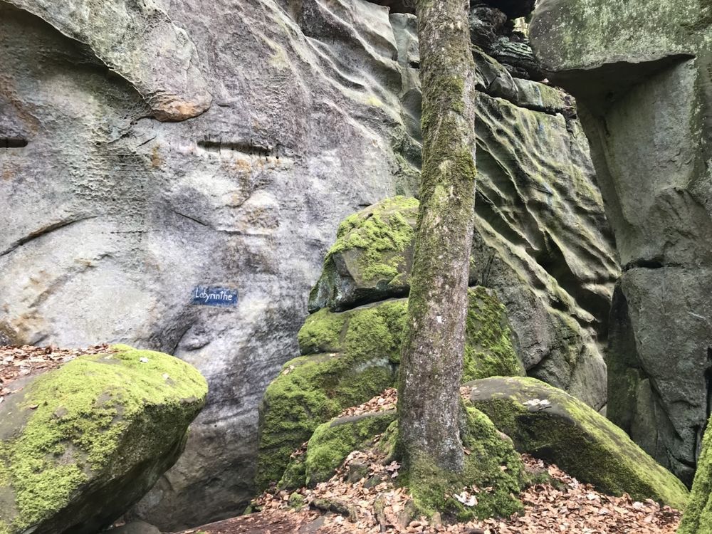
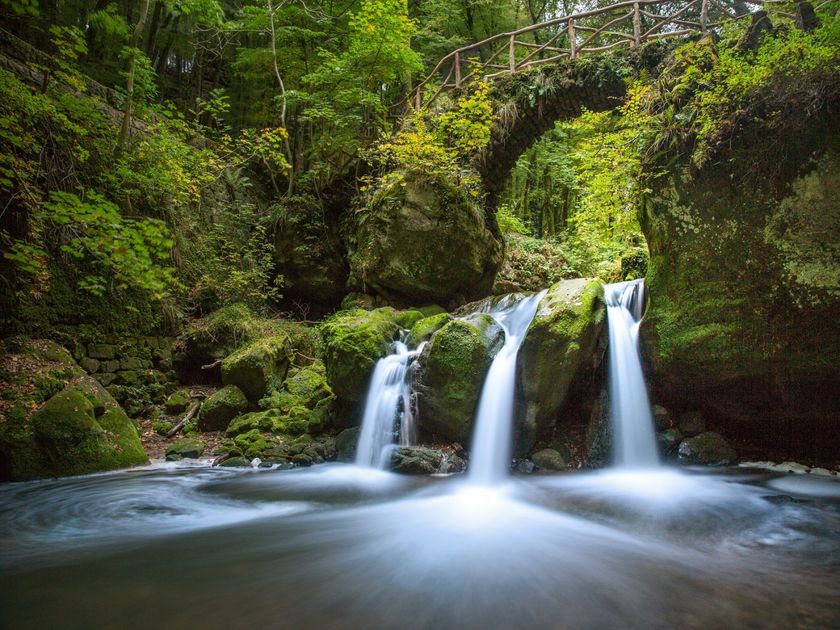
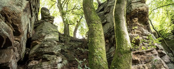
Fascinating rocky landscapes with gorges, crevices, labyrinths and the famous Schéissendëmpel waterfall - Route 2 has so many highlights
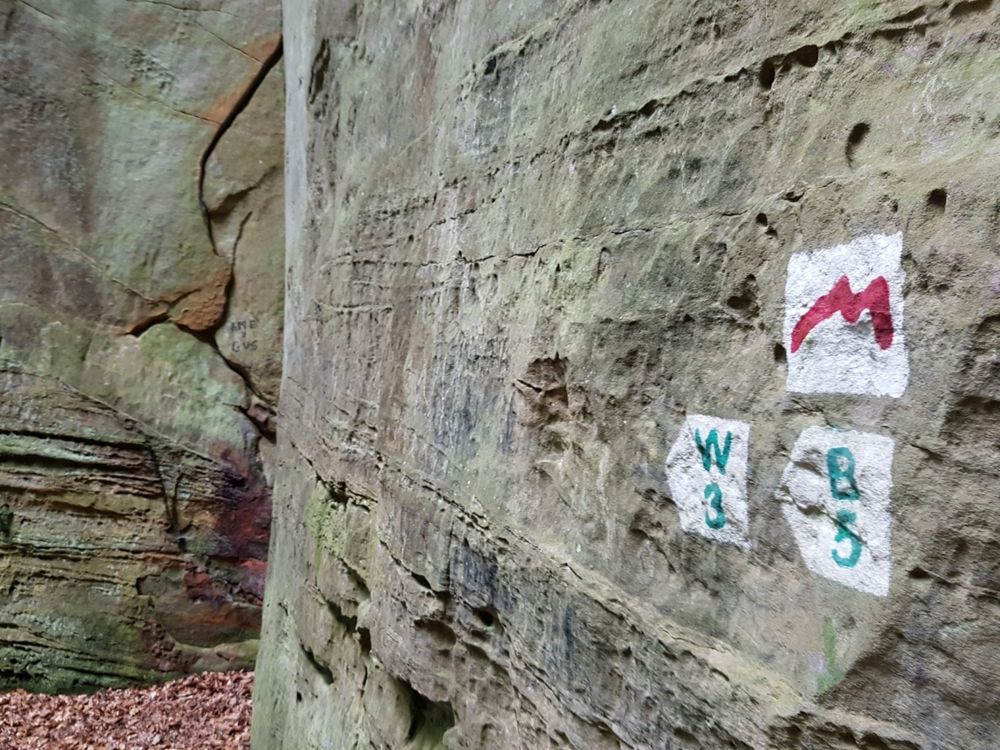
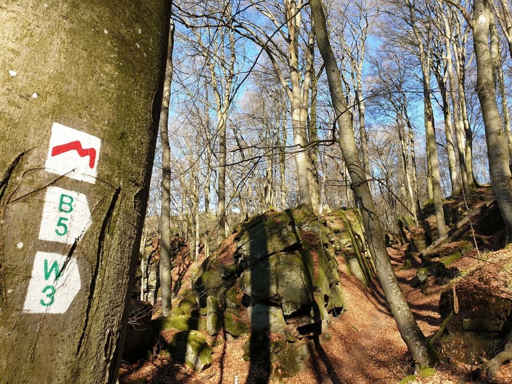
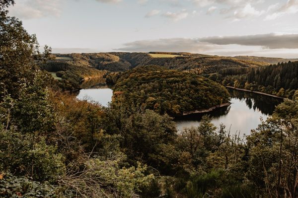
The approximately 112 km long Mullerthal Trail consists of three loops (Route 1, Route 2 and Route 3).
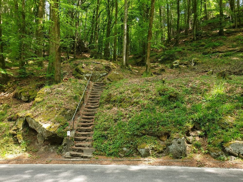
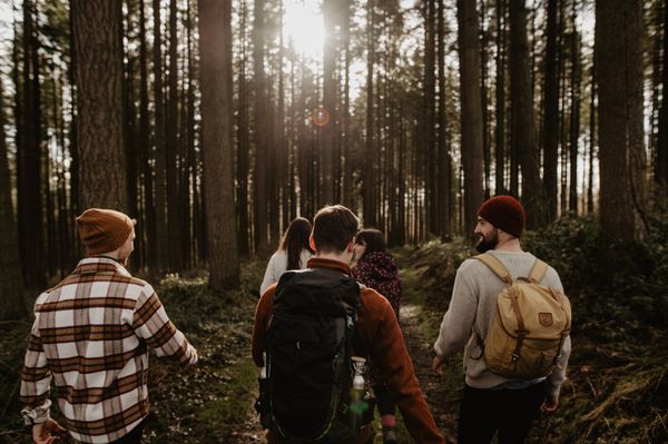
You can hike Route 2 of the Mullerthal Trail in 2 day stages and thus get through the heart of Luxembourg's Little Switzerland, to the most spectacular rock formations. It leads past the landmark of Luxembourg tourism, the Schiessentümpel - a waterfall with a small, romantic bridge.
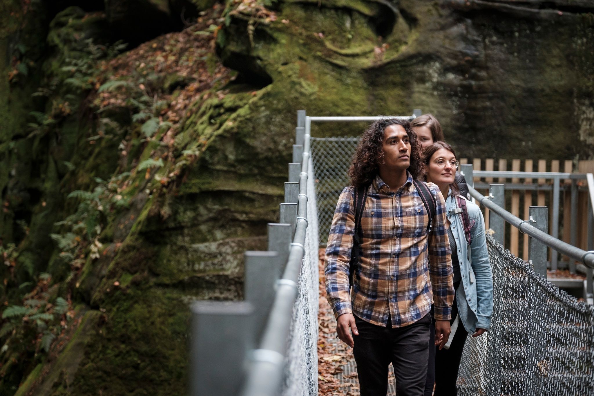
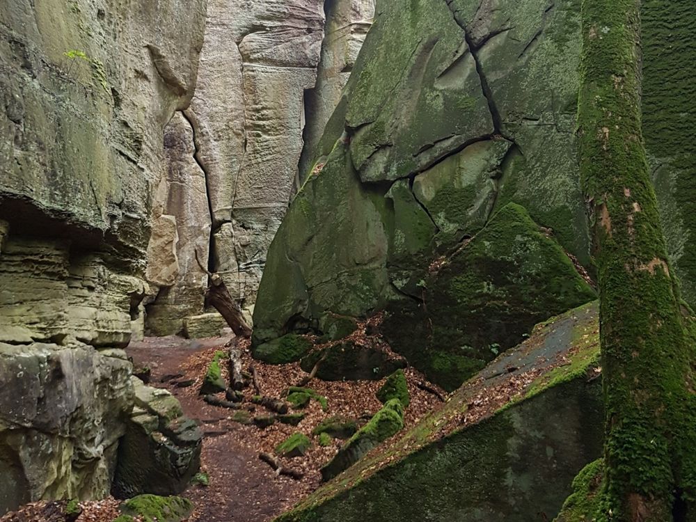
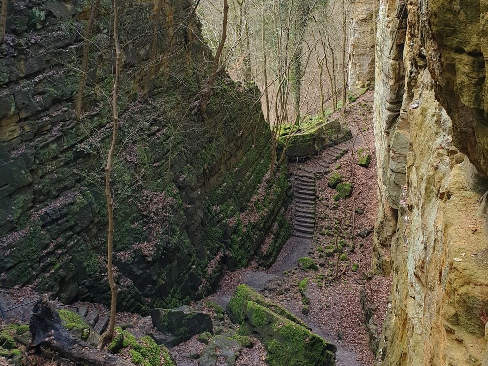
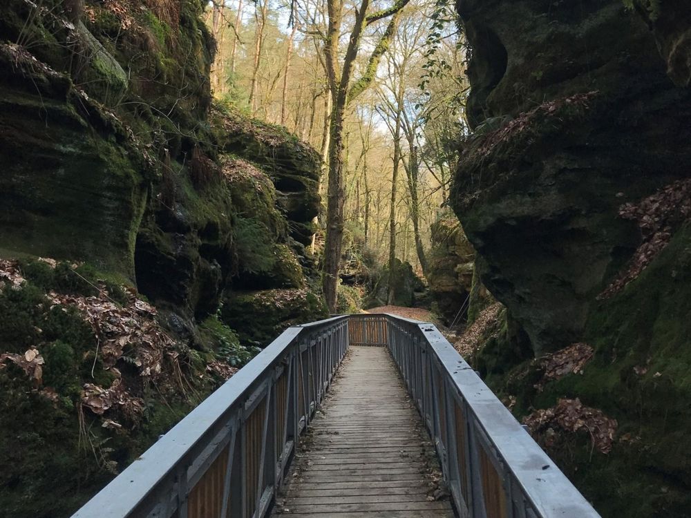
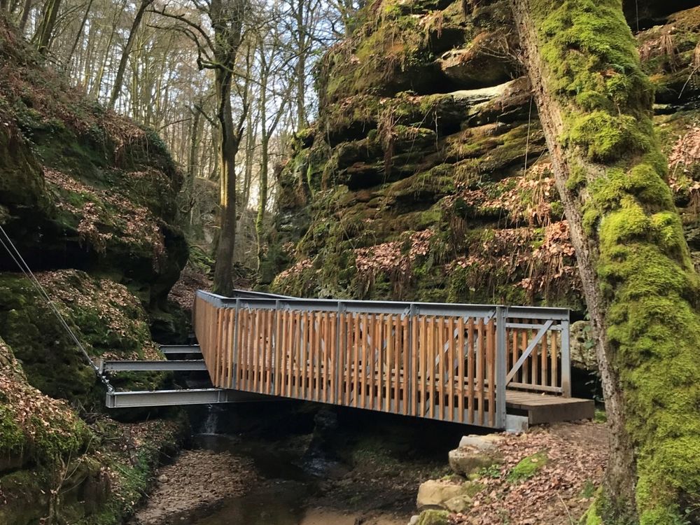
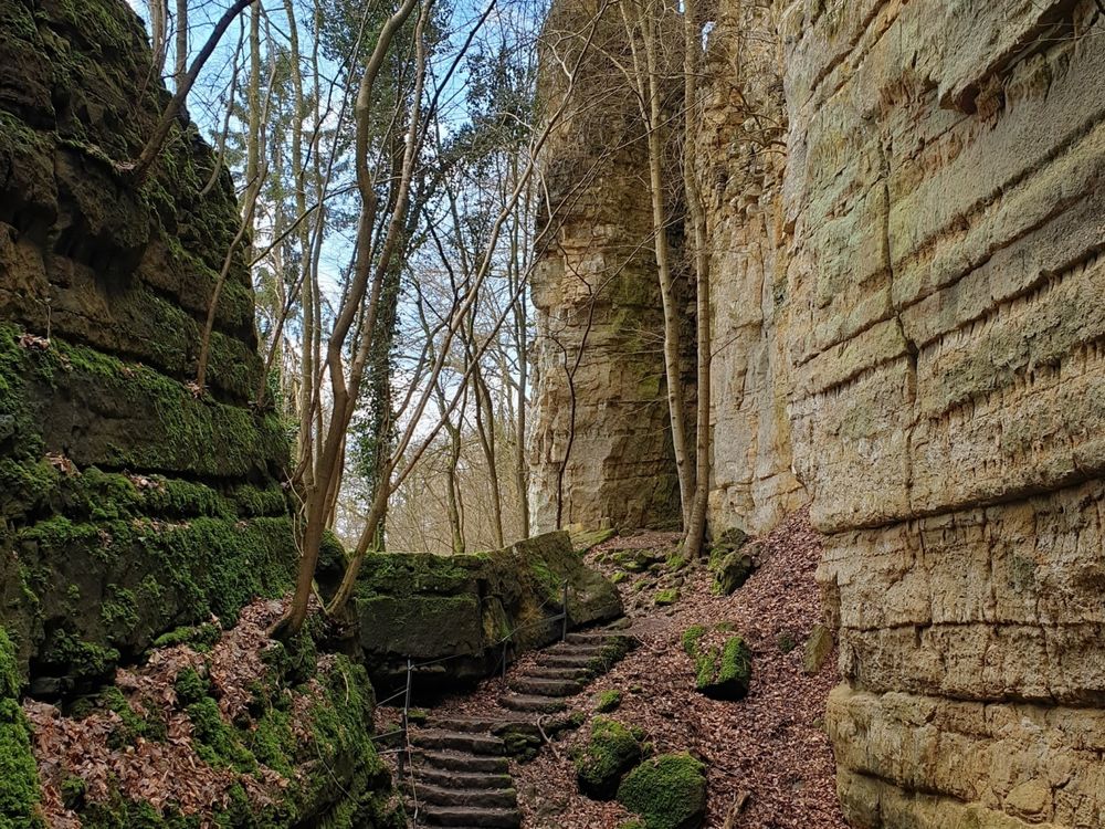
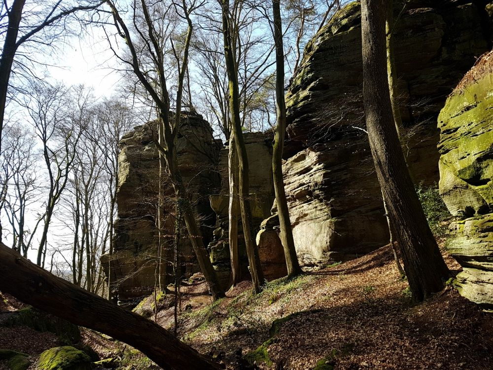
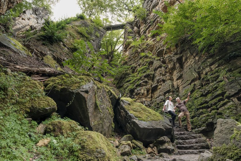
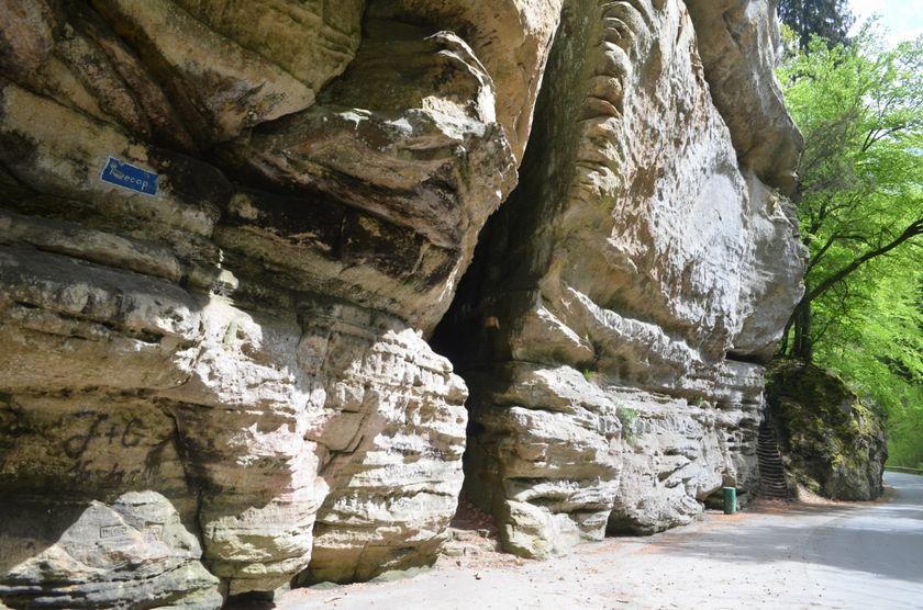
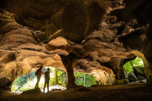
Route 2 stands for pure nature experience and adventure. Be it the rocky landscape of Berdorf, the dark Kuelscheier rock passage, the legendary Wollefsschlucht - there is a lot to discover here.

Directions
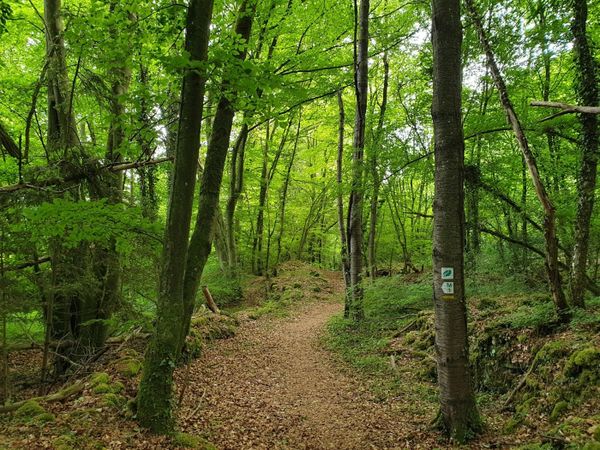
You can start Route 2 in Echternach but also in other villages like Berdorf, Scheidgen, Consdorf or Mullerthal.
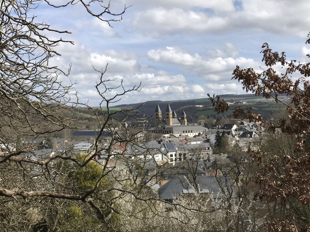
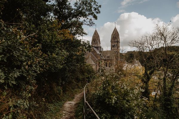
In Echternach, you start near the Basilica and then walk towards Berdorf . After a short but strenuous climb, you reach the viewpoint "Trooskneppchen" from which you can see the Basilica and the surroundings.
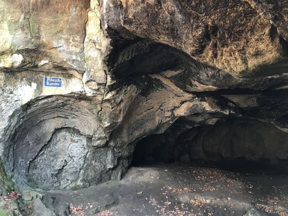
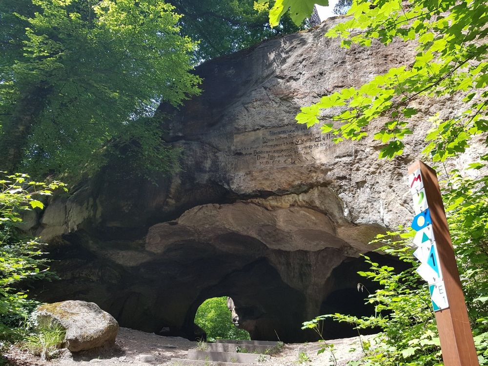
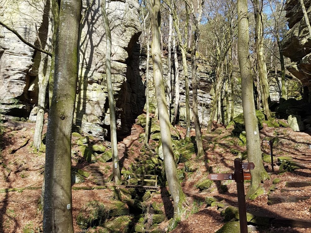
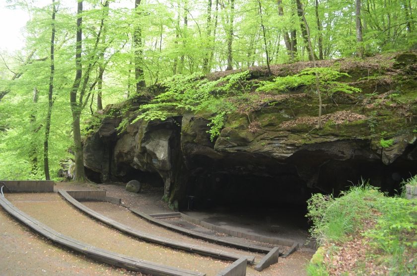
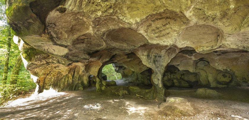
The Mullerthal Trail then leads through Wollefsschlucht (the wolves’ canyon) where wolves could find shelter in former times. You continue along the Aesbaach brook and pass Perekop, a massive rock and then reach Huel Lee (Hohllay). This is a cave which was used in former times to cut out the millstones. The traces of this activity can still be seen on the rocks in the amphitheater, which is still used for theater or music performances.
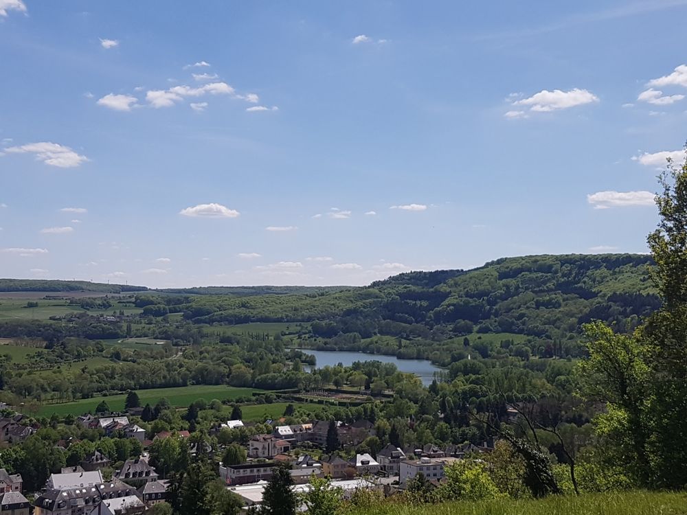
You then pass the locality of Berdorf known not only for its famous Berdorf cheese but also for its wonderful landscape. The impressive rock formations in the surrounding woods make of this village the ideal starting point for many local hikes.
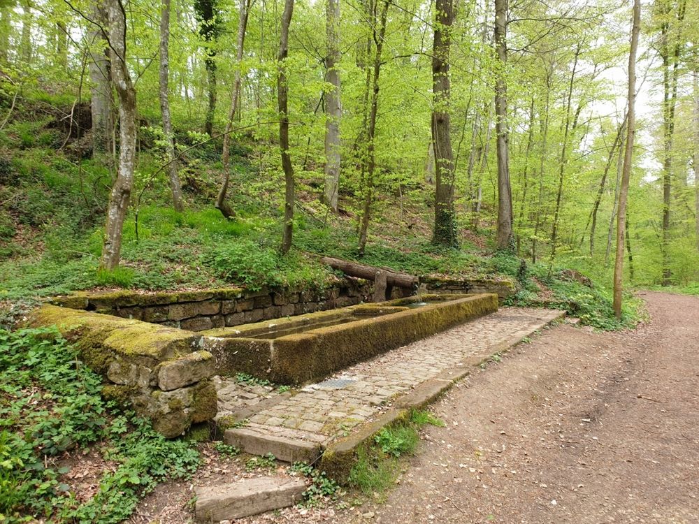
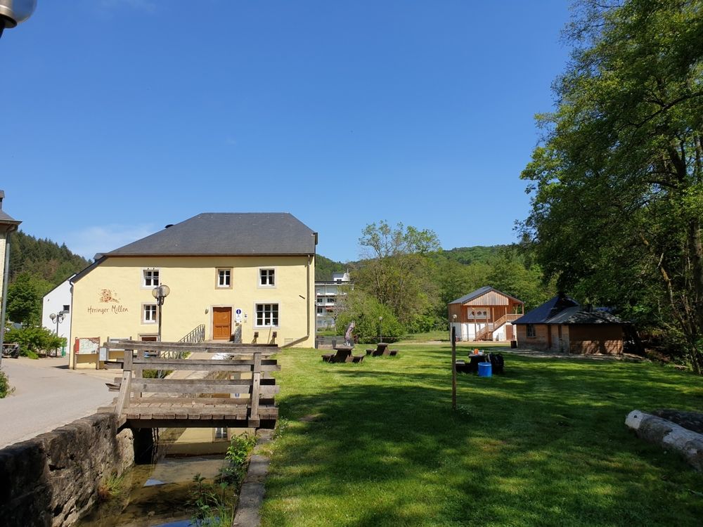
You continue in the Schnellert forest towards the village of Mullerthal where one of the most important mills of the whole region was located. The mill has been restored and is opened for the public. In the mill is a restaurant, a tourist-information and a "Best of Wandern" Testcenter. There are places to stop and rest in Mullerthal.
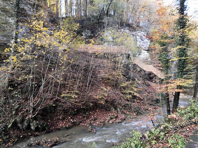
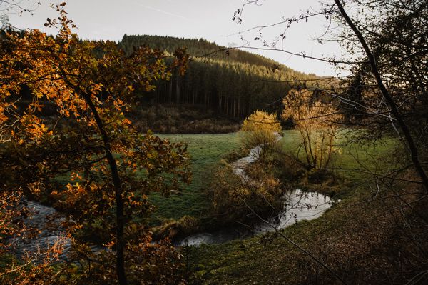
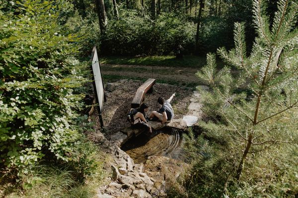
The Mullerthal Trail continues along the brook Black Ernz towards a little picturesque cascade called Schéissendëmpel.
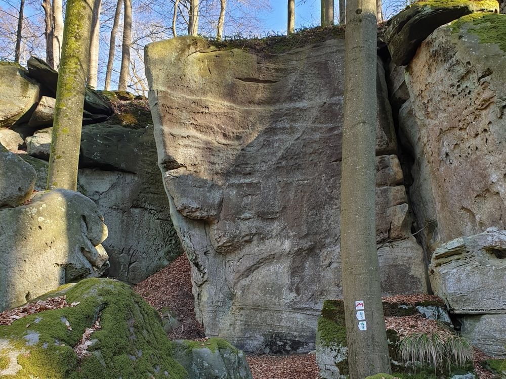
From there you walk towards the east along Eilebuerg, Goldfralee and Goldkaul which are spectacular rock formations worth a little rest. Before arriving to Consdorf you pass the mill of Consdorf (Konsdrefer Millen) where you can rest and eat and drink something. Rest places can be found in the village of Consdorf as well.
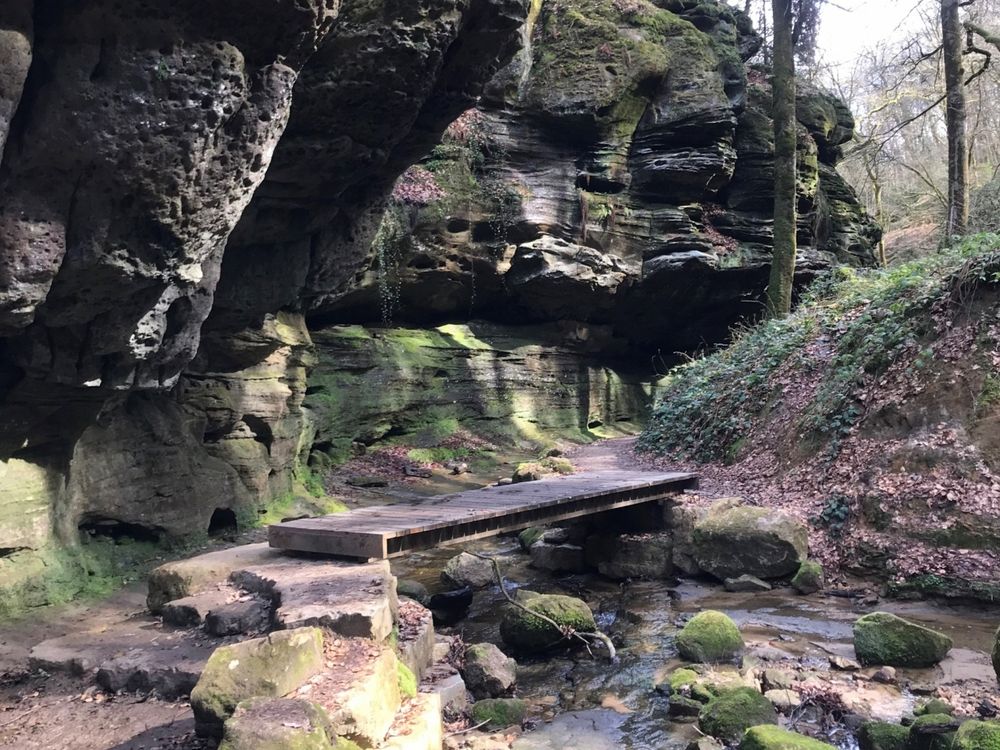
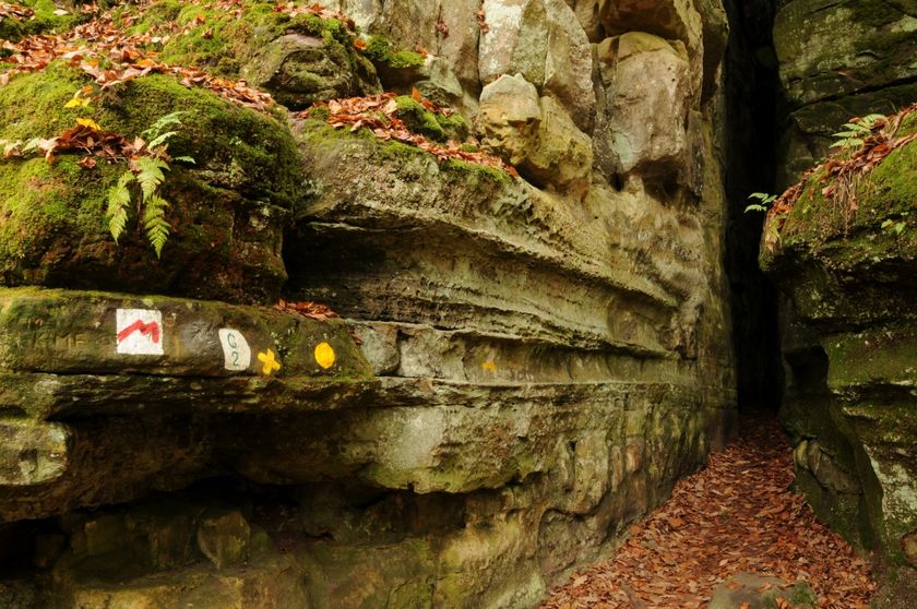
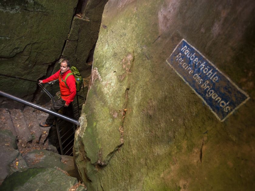
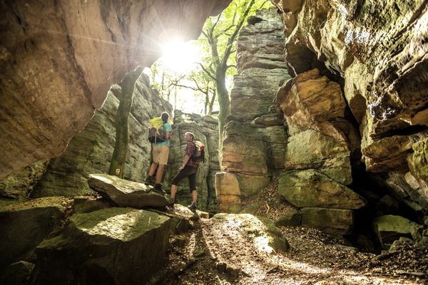
The Mullerthal Trail continues through rocks and woods towards an amazing crevice called Kuelscheier. If you want to cross it, be sure to have a pocket lamp as it is pitch dark and narrow. If you don't feel like crossing it, you can walk around it.
You then pass the villages of Consdorf and Scheidgen before arriving to Echternach again. There are places to stop and rest in Scheidgen and Echternach.
For your safety
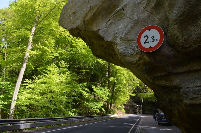
Danger of slipping on damp rocks.
Equipment
Be sure to wear good shoes and have enough water and food.

 This website uses technology and content from the Outdooractive Platform.