© Visit Luxembourg
Müllerthal Germany France

Circular hiking trail through the Deweilskopp nature reserve

Starting point
Born: Centre culturel
Destination
Born: Centre culturel
Distance
8,50 km
Duration
2:27 h
Difficulty
medium
  • Condition
  • Technique
Highest point
351 Hm
Lowest point
144 Hm
Aggregated Ascent
239 Hm
Aggregated Descent
239 Hm
Thematic paths Visit Luxembourg

Description

Varied hiking tour through idyllic orchard meadows, along dry stone walls and cattle pastures. Pure nature and beautiful far-reaching views over the region await you on the path through the Deiwelskopp nature reserve.

The path starts at the school near the village of Born. At the beginning of the path there is a geological barefoot path called "Salzmännchegaart".

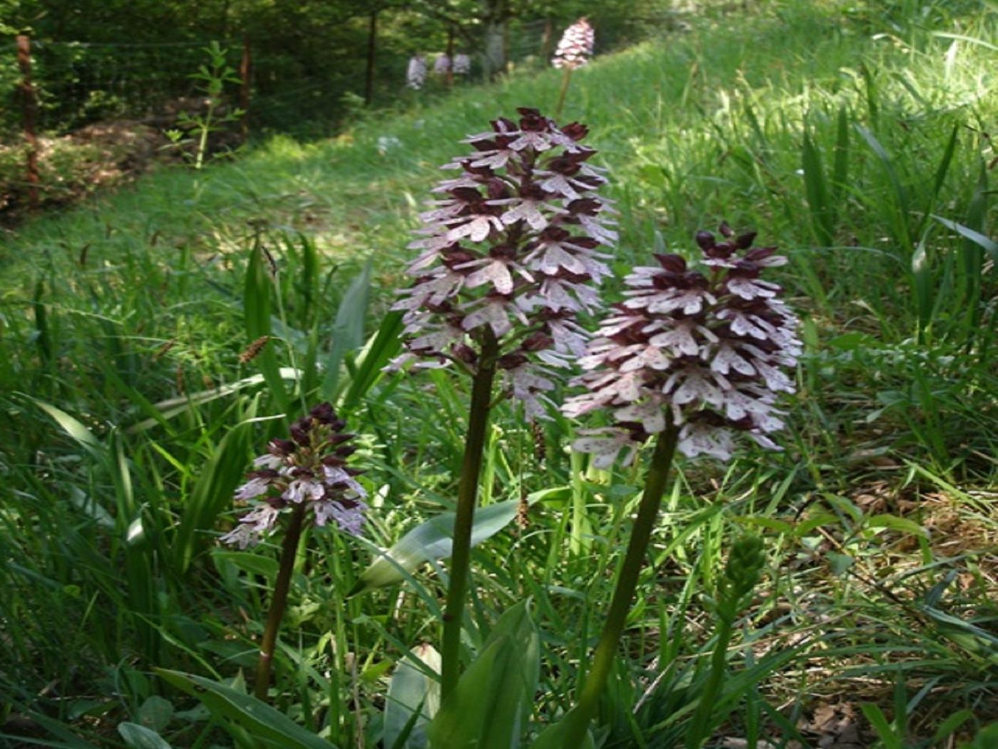
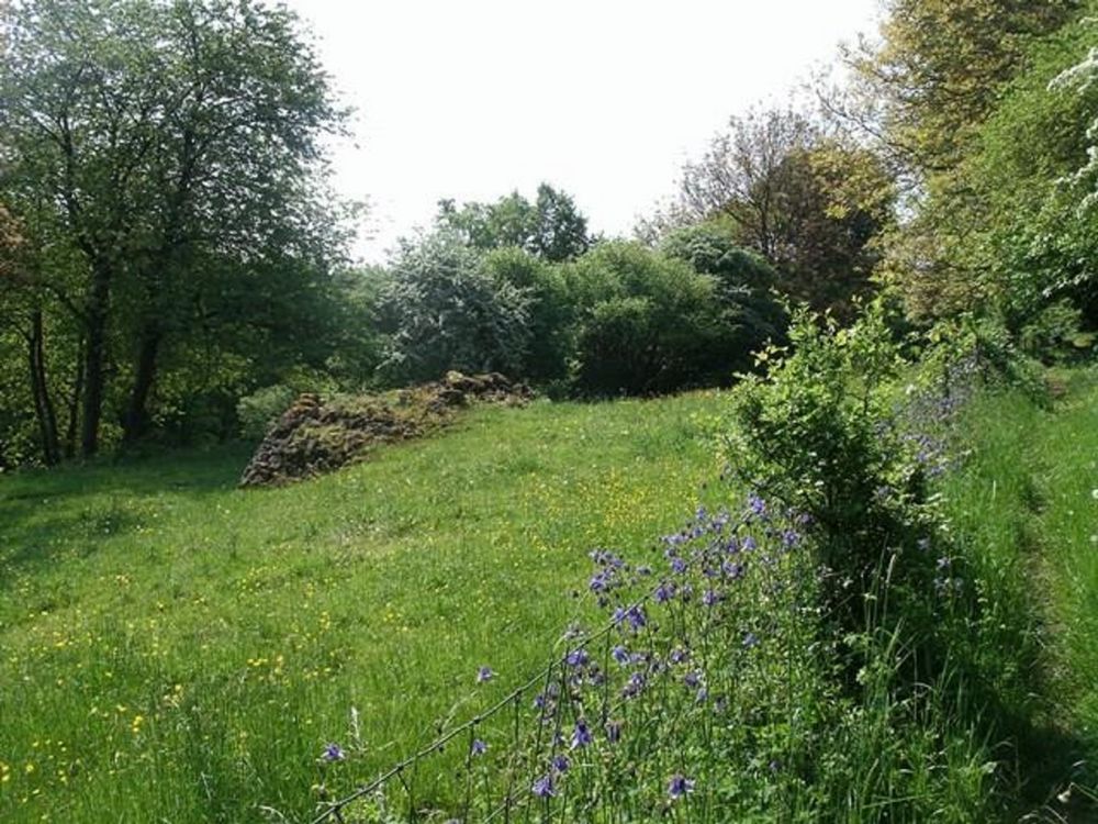
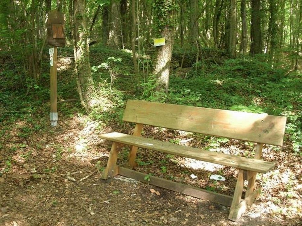
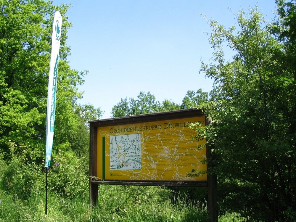
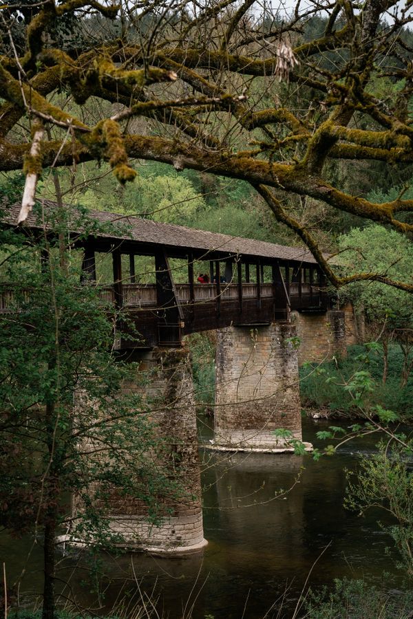
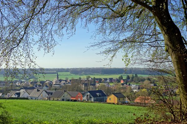
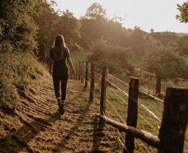
The ascent to the Wangertbierg is rewarded by wide views of the village of Born and the Sûre Valley. The path then leads along typical regional orchards and dry stone walls into a forest area. You hike past rocks and along dry grassland above the village of Moersdorf. Here the path runs together with the orchid nature trail of the "Hellef Fir d'Natur" foundation. The path then leads back down to Born.

Please make sure to enable your Cookies in case you don't see this content.

Suggestions nearby

Circular hiking trail through the Deweilskopp nature reserve

  • Salzmännchegaart
    Salzmännchegaart
    Find out more

Similar hiking tours

© © Wanderbüro Saar-Hunsrück, Klaus-Peter Kappest, SaarSchleifenLand
Dream loops
"Traumschleife" Schengen without borders
Distance: 8,54 km
Duration: 3:30 h
Difficulty: medium
Find out more
© Visit Luxembourg
Distance trails
21 Station to station Bettembourg - Dudelange-Burange
Distance: 14,66 km
Duration: 3:45 h
Difficulty: medium
Find out more
© CFL, Visit Luxembourg
Distance trails
22 Station to Station Dudelange - Burange - Rumelange
Distance: 10,22 km
Duration: 3:05 h
Difficulty: medium
Find out more
© ORT Sud
Distance trails
23 Station to station Rumelange - Kayl
Distance: 12,57 km
Duration: 3:25 h
Difficulty: medium
Find out more
© Visit Luxembourg
Distance trails
25 Station to station Kayl - Schifflange - Esch-sur-Alzette
Distance: 21,71 km
Duration: 6:05 h
Difficulty: medium
Find out more
© Pulsa Pictures, ORT SUD
Distance trails
26 Station to station Esch-sur-Alzette - Belvaux-Soleuvre
Distance: 9,05 km
Duration: 2:30 h
Difficulty: medium
Find out more
© Visit Luxembourg
Distance trails
27 Station to station Belvaux-Soleuvre-Oberkorn
Distance: 5,20 km
Duration: 1:25 h
Difficulty: medium
Find out more
© ORT Sud
Distance trails
28 Station to station Oberkorn - Niederkorn
Distance: 8,69 km
Duration: 2:25 h
Difficulty: medium
Find out more
© ORT Sud
Distance trails
29 Station to station Niederkorn - Rodange
Distance: 10,12 km
Duration: 2:55 h
Difficulty: medium
Find out more