Description
This tour combines the oldest city in Luxembourg with one of the geological highlights of the region. There are two spectacular view points on top. The hike is quite strenuous.
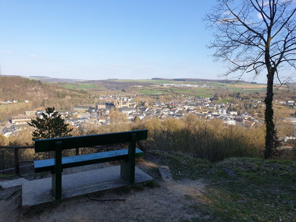
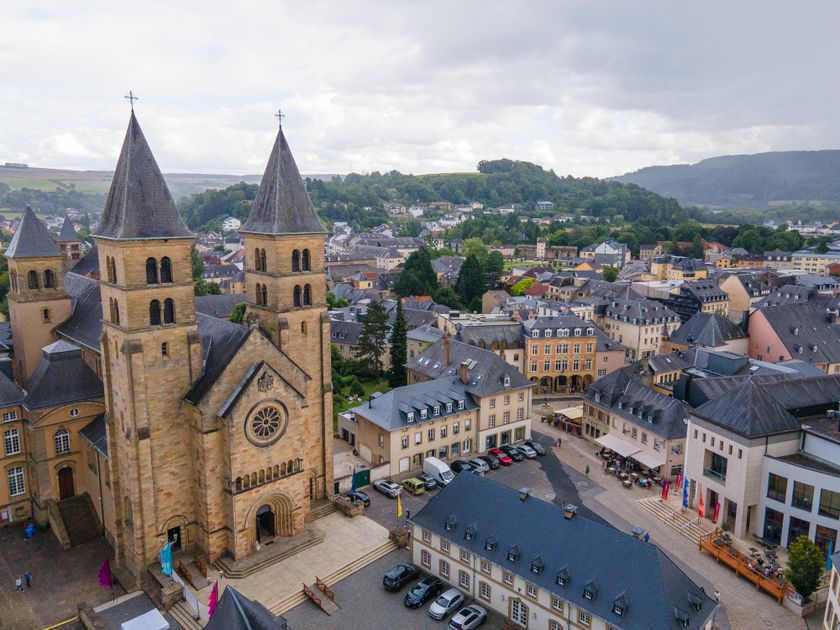
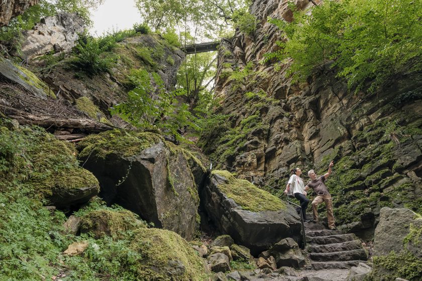
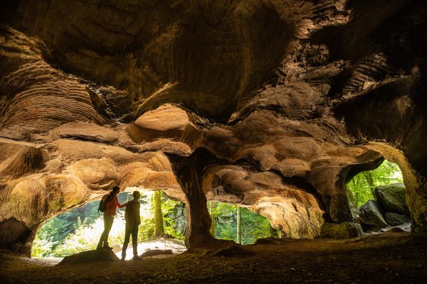
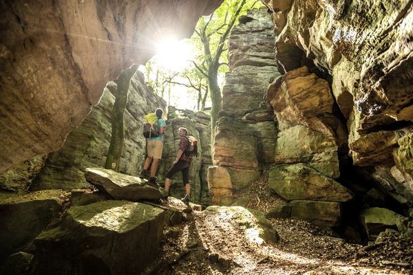
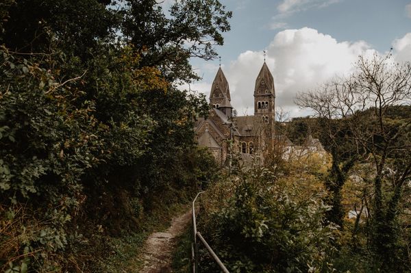
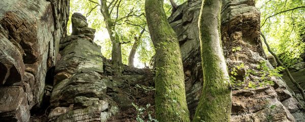
You start in the middle of the old town of Echternach, at the basilica. The first and most strenuous ascent of the hike is rewarded with a unique view over Echternach. The next highlight follows only a short time later: the Wolleffsschlucht. This is a steeply sloping, smooth crevice through which the hiking trail winds.
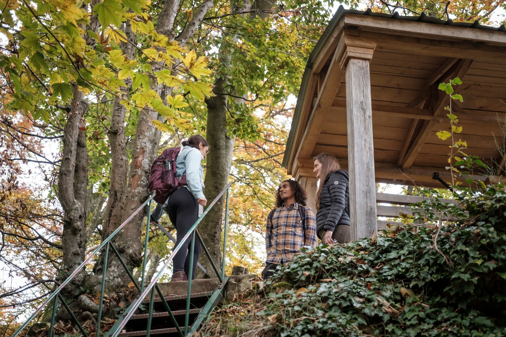
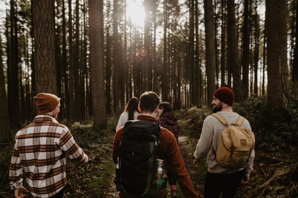
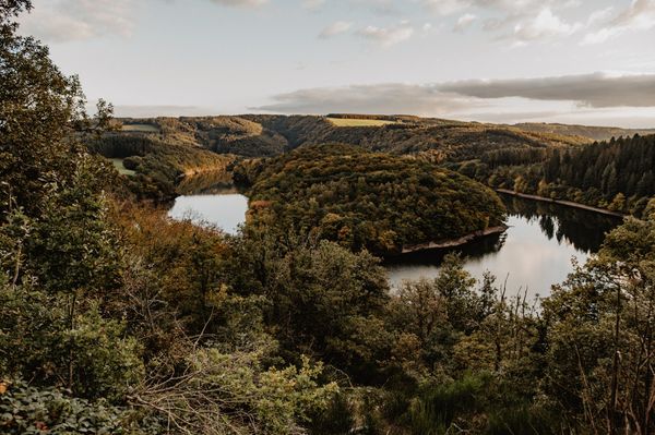
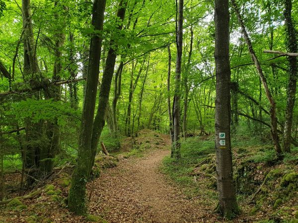
The first half of the tour leads mostly through the forest. You shouldn't miss the "Geierslee", a lookout point with a wooden pavilion, from where you have a wide view of the Sûre valley.
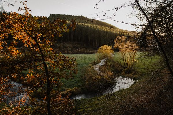
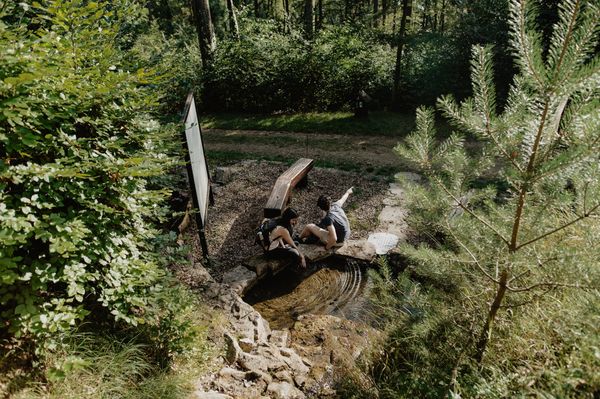
You descend then to the valley of the Sûre and hike next to it for a while. At the end, the path leads to the municipal park of Echternach and you get back to the basilica through the grounds of the former abbey.
The hike includes some more demanding passages, such as the ascent to Troosnkneppchen, the stairs in the Wollefsschlucht and the descent from the Geierslee.
Signposting

Directions
The local hiking trail E4 starts at the basilica in Echternach. You walk down Rue de la Gare and then turn left steeply up to Trooskneppchen. For the strenuous ascent, you will be rewarded with a unique view of Echternach. A little later, the second highlight of the tour is the Wollefsschlucht. The path then crosses the CR 364.
You reach the striking Geierslee and continue through the Spelzbësch towards the valley to Weilerbach. After crossing the N10, the path leads along the Sûre. Before reaching Echternach, go up to the right and cross the N10 again. You will walk along the small canal towards Echternach. You walk down Op Troo street and the path then leads into the municipal park of Echternach. You get back to the basilica through the outside facilities of the ancient abbey.
Equipment
Sturdy shoes and something to drink.
Journey
Closest bus stop: Echternach, Gare
Parking:
Parking Lake (Nonnemillen) + take City-Navette to the city center

 This website uses technology and content from the Outdooractive Platform.