Circular routes Visit Luxembourg
Description
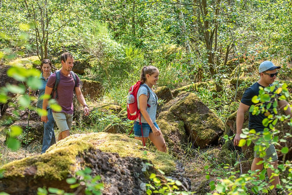
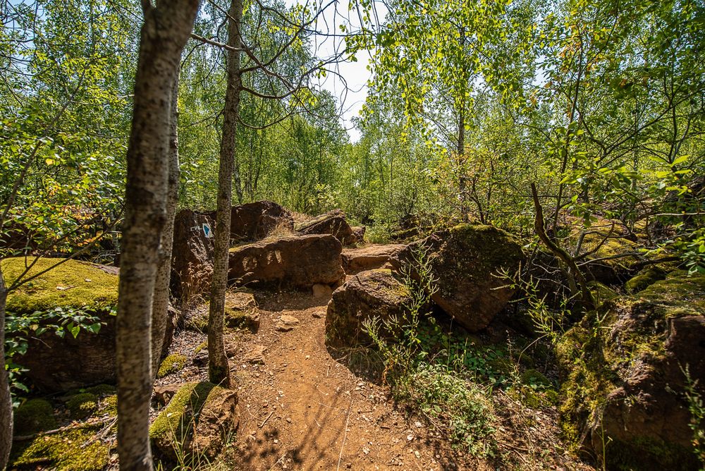
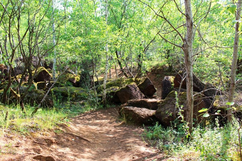
Hike on a trail through the nature reserve "Haard-Hesselsbierg-Staebierg" on the Auto-pédestre trail Dudelange-Haard
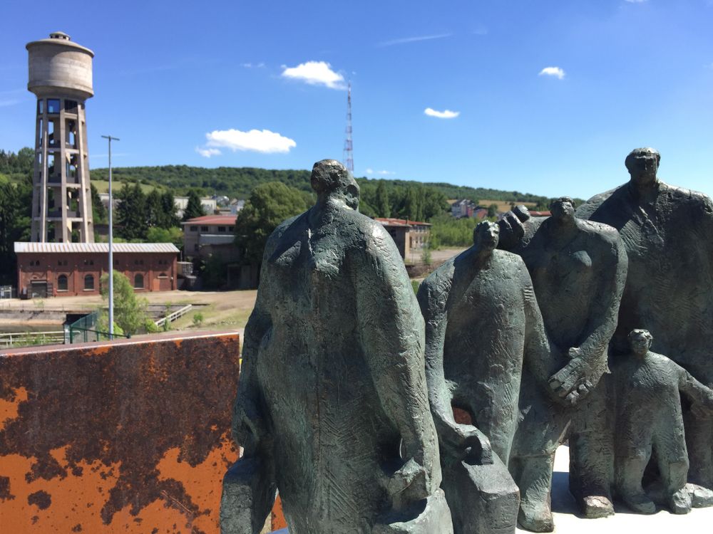
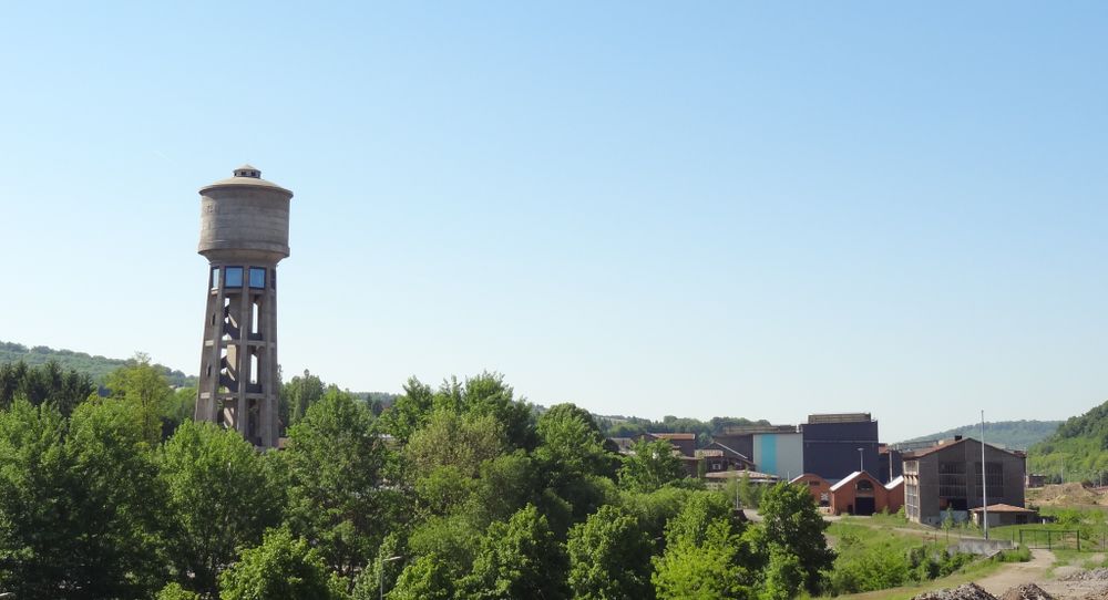
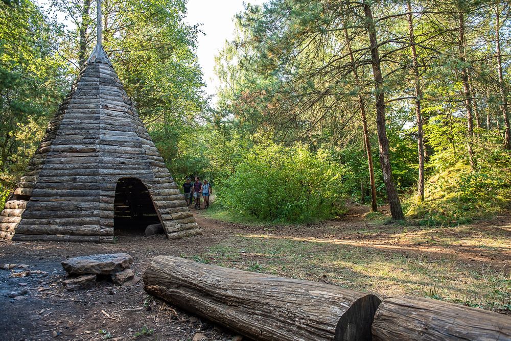
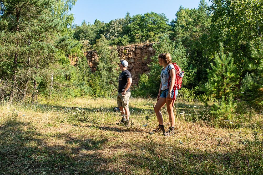
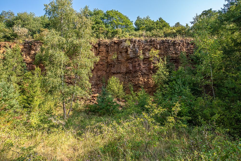
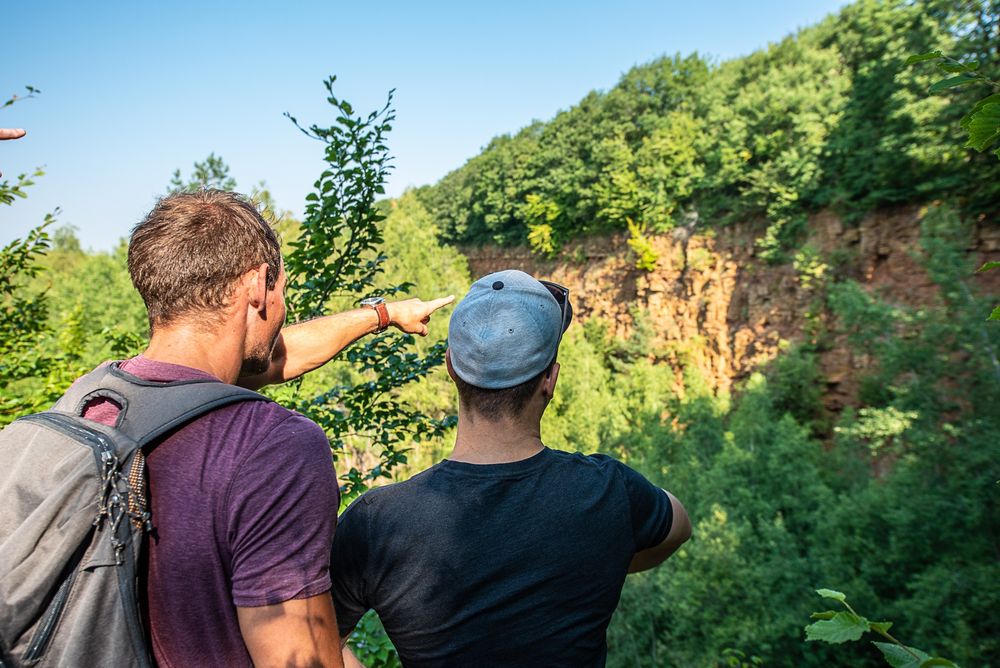
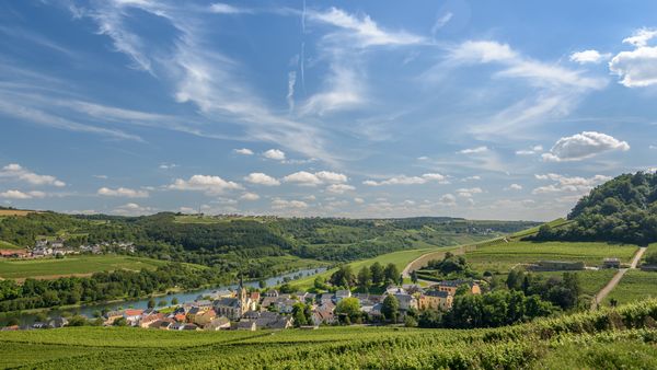
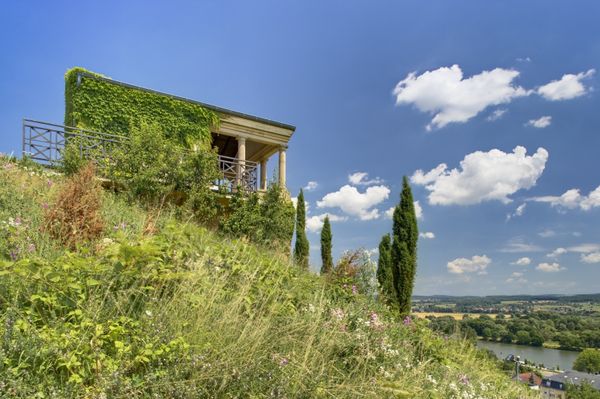
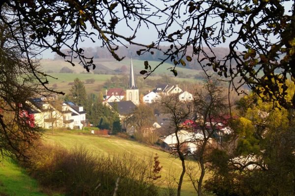
The hiking trail starts at the free parking lot next to the Boulodrome. Here you can decide whether you want to start your tour immediately into the greenery of the Haard-Hesselsbierg-Staebierg nature reserve or explore the working-class neighbourhood "Quartier Italien" first. The 7 kilometres long circular route offers plenty of variety: from green forest to open landscapes characterized by open-cast mining, fields with poppies (between May and June) to red earth and rock faces. The highlight of the tour is the Humpen, a former train carriage in the middle of nowhere in which slag was transported.
Signposting
Directions
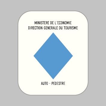
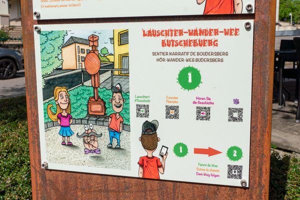
Please follow the signposts with the blue diamond on white background.
For your safety
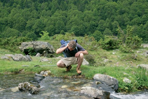
Remember to bring enough food and drinking water for the journey.
Equipment
Remember to bring enough food and drinking water for the journey.
Journey
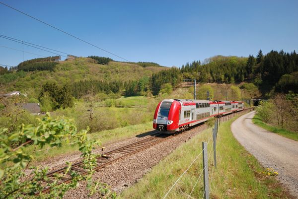
Public transport: Dudelange Train station is 10 minutes on foot
Parking: Big public parking space at starting location
Parking: Big public parking space at starting location


 This website uses technology and content from the Outdooractive Platform.