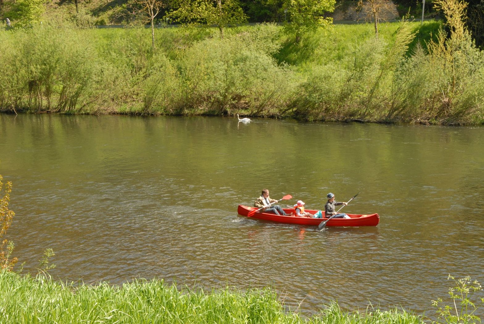
©Outdoor Freizeit Dillingen

Canoe and kayak Dillingen

Where? 10, Rue de la Sûre, 6350 Dillingen

Canoe and kayak Dillingen

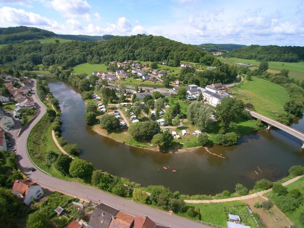
Departure of the Sauer, from Dillingen or Dillingerbrück, alone, with family, with friends, or with a group.

You will find our office on the banks of the river in Dillingen.

Dillingen and Dillingerbrück are on the route from Diekirch to Echternach (12 km from Echternach).

Closest bus stop: Dillingen, Déiljen (200m)
Closest parking lot: on site


Practical information

  • Outdoor

Opening hours

Season: Pentecost (23–25 May) and 4 June – 30 September (depending on the water level).

Start times: 10:00 am–2:00 pm (recommended arrival 10:00–11:00 am).
Contact

Address: Canoe and kayak Dillingen
10, Rue de la Sûre
L-6350 Dillingen
Show on map

More sites

©ORT MPSL
Picnic place Stegen
Picnic place Stegen
Find out more
©Visit Luxembourg
Circular routes
Local hiking route - W1
Distance: 6,81 km
Duration: 1:47 h
Difficulty: easy
Find out more
©John Oesch Photography
Picnic place Kuelscheier
Find out more
©ORT MPSL
Viewing Platform Ruetsbech
Built in 2025, the Ruetsbech viewing platform overlooks the valley of the Black Ernz and the characteristic landscapes of the Mullerthal Region.
Find out more
©Visit Luxembourg
Circular routes
Local hiking trail - N3
Distance: 2,88 km
Duration: 1:00 h
Difficulty: easy
Find out more
©Rentabike Mëllerdall CIG
RentaBike Mëllerdall - Camping La Pinède
RentaBike Mëllerdall
Find out more
©Pancake! Photographie, Visit Luxembourg
Mullerthal Trail - Leading Quality Trails - Best of Europe
Mullerthal Trail Route 1
Distance: 36,74 km
Duration: 10:25 h
Difficulty: medium
Find out more
©Pancake! Photographie, Visit Luxembourg
Mullerthal Trail - Leading Quality Trails - Best of Europe
Mullerthal Trail Route 3
Distance: 37,69 km
Duration: 11:05 h
Difficulty: difficult
Find out more
©PANCAKE! Photographie, ORT MPSL
Mullerthal Grand Tour
Distance: 74,07 km
Duration: 1:10 h
Find out more